
(Editor's Note: While there's some slow time in the few week's before
we have a new addition to the family, I'm trying to catch up on blog
entries that I wanted to post or started but never completed. This is
another one of those entries.)
In August 2011, Joe Babyak, Brian LeBlanc, and I took a road trip to Key West, Florida by way of Tampa.
Route: US 64/264, I-40, I-95, FL A1A, US 301, I-10, FL 121, FL 238, I-75, US 98, FL 589 Toll.
From our hotel on Old Tampa Bay, I was able to see a distant thunderstorm form. For me, it was something pretty neat since we don't have the flat and open space to watch these develop.
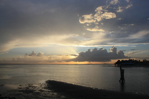
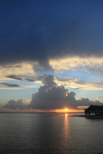
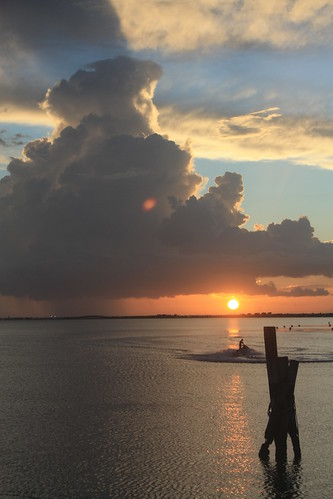
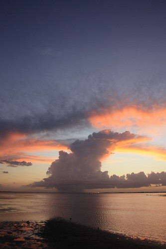
For the entire sunset set on flickr, head here.
From there we headed to Ybor City for dinner to the Tampa Bay Brewing Company. The beer and the food is excellent! However, I was actually very surprised to see how empty Ybor City was for a Thursday evening.
From there, Brian suggested we head down I-275 to the Sunshine Skyway Bridge to take in the bridge with some night shots at the fishing pier. Skyway Fishing Pier State Park is open 24 hours - and the piers are the approaches to the original Skyway Bridge. This was really my first attempt at long exposure night photography. It takes a lot of patience but this was a great spot to practice.
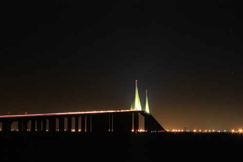
For more night shots from the bridge, head here.
Coming Soon: The ride to Key West.
In August 2011, Joe Babyak, Brian LeBlanc, and I took a road trip to Key West, Florida by way of Tampa.
Route: US 64/264, I-40, I-95, FL A1A, US 301, I-10, FL 121, FL 238, I-75, US 98, FL 589 Toll.
From our hotel on Old Tampa Bay, I was able to see a distant thunderstorm form. For me, it was something pretty neat since we don't have the flat and open space to watch these develop.
For the entire sunset set on flickr, head here.
From there we headed to Ybor City for dinner to the Tampa Bay Brewing Company. The beer and the food is excellent! However, I was actually very surprised to see how empty Ybor City was for a Thursday evening.
From there, Brian suggested we head down I-275 to the Sunshine Skyway Bridge to take in the bridge with some night shots at the fishing pier. Skyway Fishing Pier State Park is open 24 hours - and the piers are the approaches to the original Skyway Bridge. This was really my first attempt at long exposure night photography. It takes a lot of patience but this was a great spot to practice.
For more night shots from the bridge, head here.
Coming Soon: The ride to Key West.
Comments