
This post covers the trip from Albuquerque to Midland, Texas via Alamogordo, New Mexico. White Sands National Monument has already been covered - some of the photos are from the trip to White Sands and the others are obviously after. :-p
The route: I-40, I-25, US 380, US 54, US 70, White Sands National Monument, US 70, US 82, NM 529, US 62/US 180, US 385, TX 158, TX 191, TX Loop 250, Business I-20.
The entire 79 photo set from the trip is up on flickr.
Over at the aaroads blog, Jake mentioned that New Mexico has begun to use a more classic US shield style on their guide signs. His examples are on I-40 Eastbound in Santa Rosa. Well on I-25 South in Bernardo a similar style is for US 60 (Exit 175). The US 60 shield has a 'US' within the shield above the number. Unfortunately, I was checking something on my phone when we passed it, and didn't get a picture.
However, in Socorro, there is a guide for Business Loop I-25 and US 60 with an odd font.
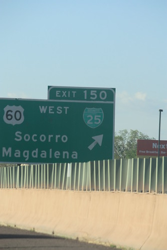
And when did US 60 change to North/South??
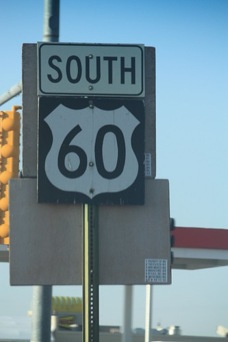
Now US 60 does run North/South through Socorro - but only for a mile or so.
Next up, US 380 east from San Antonio to Carrizozo. Once the sun angle improved, it was quite an enjoyable - yet isolated - drive.
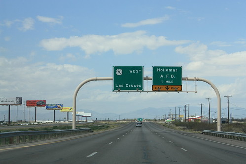
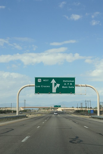
US 70 near Holloman Air Force Base has some nice overhead guides:
In Alamogordo, on the old route through town there were still US 82 shields with US 54 and 70.

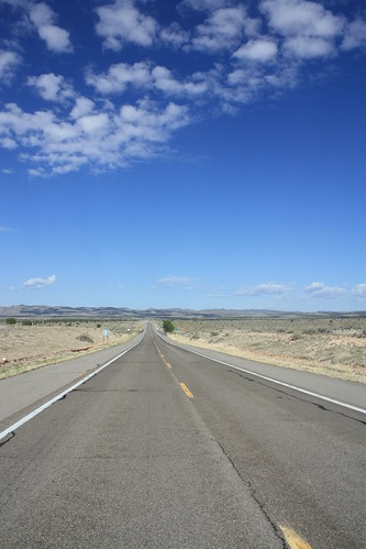
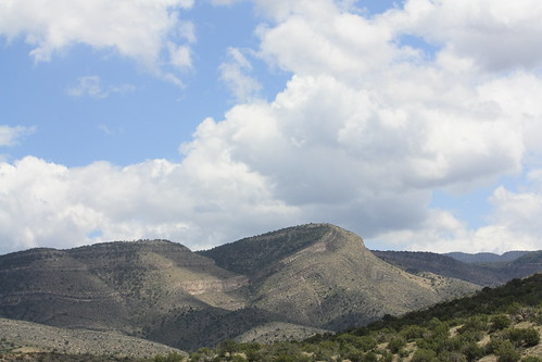
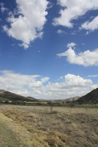
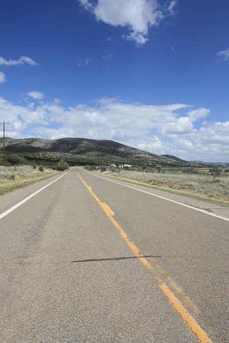
Then it was onto US 82 East and the climb into the Sacramento Mountains and Lincoln National Forest. If you ever want a scenic alternative from I-25 to I-20 and not go through El Paso. US 82 is the way to go.
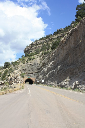
There's even a tunnel!
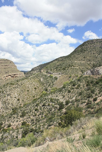
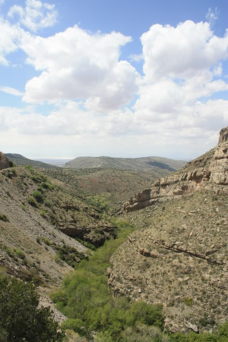
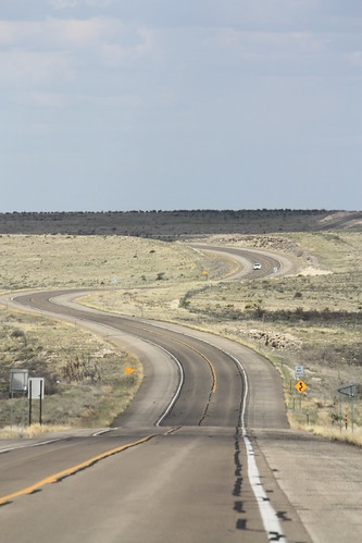
On the east side of the Sacramento Mountains the views are just as photo worthy.
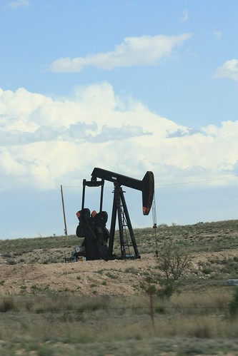
East of Artesia - You'll find plenty of these:
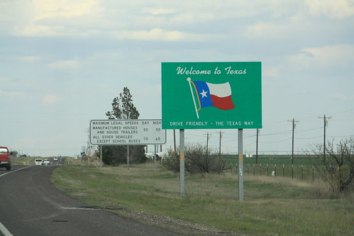
And the journey home really began when we passed this sign.
A few more miles and turns later we pulled into Midland for the night.
One last post left, Day 6 & 7 Midland to North Carolina with an overnight stop in Tuscaloosa.
The route: I-40, I-25, US 380, US 54, US 70, White Sands National Monument, US 70, US 82, NM 529, US 62/US 180, US 385, TX 158, TX 191, TX Loop 250, Business I-20.
The entire 79 photo set from the trip is up on flickr.
Over at the aaroads blog, Jake mentioned that New Mexico has begun to use a more classic US shield style on their guide signs. His examples are on I-40 Eastbound in Santa Rosa. Well on I-25 South in Bernardo a similar style is for US 60 (Exit 175). The US 60 shield has a 'US' within the shield above the number. Unfortunately, I was checking something on my phone when we passed it, and didn't get a picture.
However, in Socorro, there is a guide for Business Loop I-25 and US 60 with an odd font.
And when did US 60 change to North/South??
Now US 60 does run North/South through Socorro - but only for a mile or so.
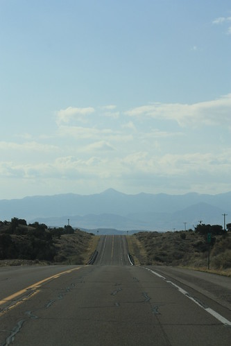
Next up, US 380 east from San Antonio to Carrizozo. Once the sun angle improved, it was quite an enjoyable - yet isolated - drive.
US 70 near Holloman Air Force Base has some nice overhead guides:
In Alamogordo, on the old route through town there were still US 82 shields with US 54 and 70.
Then it was onto US 82 East and the climb into the Sacramento Mountains and Lincoln National Forest. If you ever want a scenic alternative from I-25 to I-20 and not go through El Paso. US 82 is the way to go.
There's even a tunnel!
On the east side of the Sacramento Mountains the views are just as photo worthy.
East of Artesia - You'll find plenty of these:
And the journey home really began when we passed this sign.
A few more miles and turns later we pulled into Midland for the night.
One last post left, Day 6 & 7 Midland to North Carolina with an overnight stop in Tuscaloosa.
Comments