On the south side of San Francisco Bay between US Route 101 and California State Route 84 there are to unsigned short surface routes; CA 109 and CA 114. Both CA 109 and CA 114 are located with the boundaries of Menlo Park and East Palo Alto, this entry is about the former route CA 109.

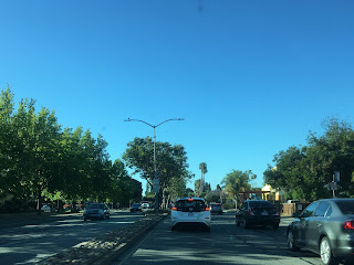
CA 109 is a 2 mile state highway running on University Avenue between US 101 in East Palo Alto to CA 84 in Menlo Park. Northbound traffic departing US 101 from exit 403 must join Donohoe Street and take a brief western jog to reach CA 109 on University Avenue.


CA 109 north travels through East Palo Alto and enters Menlo Park at Notre Dame Avenue. Notre Dame Avenue north to CA 84 was the first segment of CA 109 that was adopted by Caltrans. Traffic is slow with speed limits as low as 25 MPH in East Palo Alto.


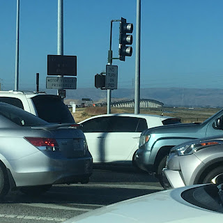
CA 109 on University Avenue crosses a set of rails before terminating at CA 84.


The north terminus of CA 109 is within view of modern Dumbarton Bridge crossing San Francisco Bay. The Dumbarton Bridge is a Twin Concrete Girder design which is 1.63 miles in length. The modern Dumbarton Bridge was opened to traffic in 1984 and was a replacement for the 1927 span which was the first highway crossing of San Francisco Bay.
According to CAhighways the current routing of CA 109 was created in 1984 from CA 84 south on University Avenue to Notre Dame Avenue. In 1988 legislation was passed which allowed CA 109 to be extended south on University Avenue to US 101 but maintenance wasn't picked up apparently until 1997.
CAhighways on CA 109
The first CA 109 was along Sunset Cliffs Boulevard in San Diego. The first CA 109 first appears on the State Highway Map in 1964 and was apparently created out of legislation in 1963 according to CAhighways.org. The original CA 109 was deleted in 1972 and became an extension of I-8.
1964 State Highway Map
Interestingly the second CA 109 appears on the 1986 State Highway Map City Insert as CA 209 running south from CA 84 to Notre Dame Avenue.
1986 State Highway Map City Insert
On the 1988 State Highway Map City Insert CA 109 is shown correctly, I'm not sure if the 1986 map was an error.
1988 State Highway Map City Insert
CA 109 appears as a complete route between CA 84 and US 101 on the 1990 State Highway Map City Insert.
1990 State Highway City Insert

CA 109 is a 2 mile state highway running on University Avenue between US 101 in East Palo Alto to CA 84 in Menlo Park. Northbound traffic departing US 101 from exit 403 must join Donohoe Street and take a brief western jog to reach CA 109 on University Avenue.


CA 109 north travels through East Palo Alto and enters Menlo Park at Notre Dame Avenue. Notre Dame Avenue north to CA 84 was the first segment of CA 109 that was adopted by Caltrans. Traffic is slow with speed limits as low as 25 MPH in East Palo Alto.


CA 109 on University Avenue crosses a set of rails before terminating at CA 84.


The north terminus of CA 109 is within view of modern Dumbarton Bridge crossing San Francisco Bay. The Dumbarton Bridge is a Twin Concrete Girder design which is 1.63 miles in length. The modern Dumbarton Bridge was opened to traffic in 1984 and was a replacement for the 1927 span which was the first highway crossing of San Francisco Bay.

According to CAhighways the current routing of CA 109 was created in 1984 from CA 84 south on University Avenue to Notre Dame Avenue. In 1988 legislation was passed which allowed CA 109 to be extended south on University Avenue to US 101 but maintenance wasn't picked up apparently until 1997.
CAhighways on CA 109
The first CA 109 was along Sunset Cliffs Boulevard in San Diego. The first CA 109 first appears on the State Highway Map in 1964 and was apparently created out of legislation in 1963 according to CAhighways.org. The original CA 109 was deleted in 1972 and became an extension of I-8.
1964 State Highway Map
Interestingly the second CA 109 appears on the 1986 State Highway Map City Insert as CA 209 running south from CA 84 to Notre Dame Avenue.
1986 State Highway Map City Insert
On the 1988 State Highway Map City Insert CA 109 is shown correctly, I'm not sure if the 1986 map was an error.
1988 State Highway Map City Insert
CA 109 appears as a complete route between CA 84 and US 101 on the 1990 State Highway Map City Insert.
1990 State Highway City Insert
Comments