
Washington State Route 599


Washington State Route 599 is a 1.75-mile freeway entirely contained within the City of Tukwila located in King County.  WA 599 is a north/south route connecting I-5 to WA 99 and is former alignment of US Route 99.

This blog is part of the larger Gribblenation US Route 99 Page.  For more information pertaining to the other various segments of US Route 99 and it's three-digit child routes check out the link the below.


Washington State Route 599

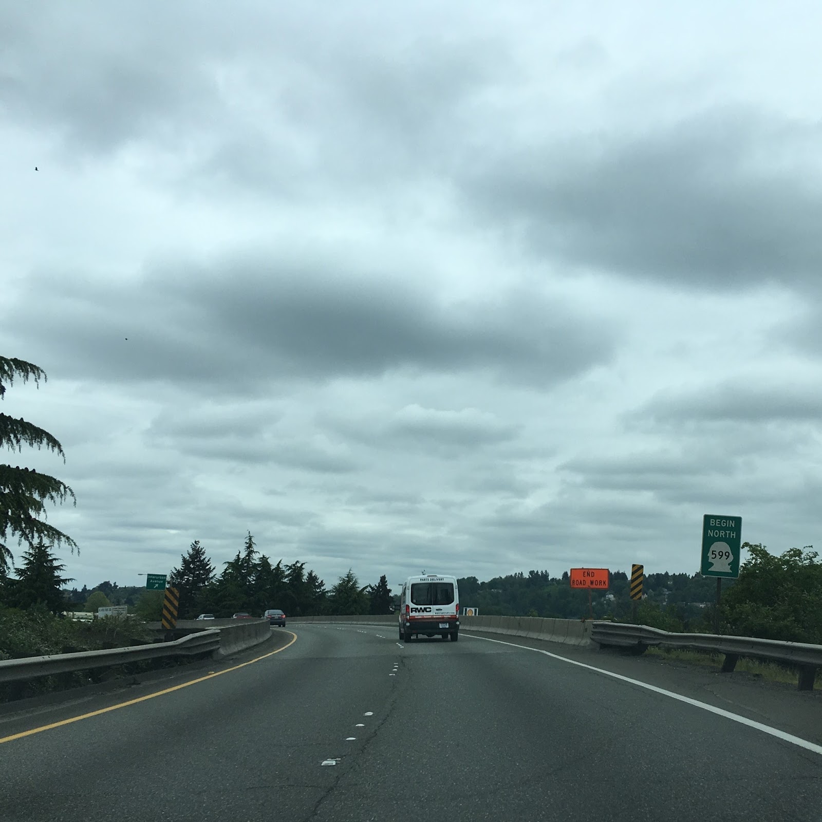
There isn't much to WA 599 as a route but there are some neat signs like this WA 599 "Begin."


The Light Rail from SeaTac International Airport crosses above WA 599 near Marginal Way.


There are only two exits on WA 599; the first is at Interurban Avenue while the second is at Tukwila International Boulevard.  Tukwila International Boulevard is another former alignment of US 99 which predated the freeway WA 599 runs on now.


North of Tukwila International Boulevard the route becomes WA 99 and WA 599 ends.  There is a much better sign assembly explaining the change south of this one, but I wasn't expecting it and missed the photo.


Interestingly there is a gap in WA 99 from WA 518 north to the terminus of WA 599 which is spanned but Tukwila International Boulevard.   The routing of what is now WA 599 was constructed in the late 1950s and was part of Primary State Highway 1 WM (West Marginal).  When the route had been completed US 99 switched alignments apparently onto a multiplex of I-5 and may have been once been signed as US 99T.  The route has been designated at WA 599 since 1971.  This older map of the state highway system from 1956 shows how US 99 used to flow through from Tacoma through Seattle before the construction of I-5.

1956 Washington State Highway Map

Edit 5/13/18:  I was shown a 1970 map scan of downtown Seattle by Flickr user Arthur Allen showing the routing of WA 599 shown as WA 99T.  The map scan can be viewed here at the following link:

Arthur Allen Flickr Page showing a 1970 Map Scan of downtown Seattle

Comments

Popular posts from this blog

Paper Highways: The Unbuilt New Orleans Bypass (Proposed I-410)

  There are many examples around the United States of proposed freeway corridors in urban areas that never saw the light of day for one reason or another. They all fall somewhere in between the little-known and the infamous and from the mundane to the spectacular. One of the more obscure and interesting examples of such a project is the short-lived idea to construct a southern beltway for the New Orleans metropolitan area in the 1960s and 70s. Greater New Orleans and its surrounding area grew rapidly in the years after World War II, as suburban sprawl encroached on the historically rural downriver parishes around the city. In response to the development of the region’s Westbank and the emergence of communities in St. Charles and St. John the Baptist Parishes as viable suburban communities during this period, regional planners began to consider concepts for new infrastructure projects to serve this growing population.  The idea for a circular freeway around the southern perimeter of t

Hernando de Soto Bridge (Memphis, TN)

The newest of the bridges that span the lower Mississippi River at Memphis, the Hernando de Soto Bridge was completed in 1973 and carries Interstate 40 between downtown Memphis and West Memphis, AR. The bridge’s signature M-shaped superstructure makes it an instantly recognizable landmark in the city and one of the most visually unique bridges on the Mississippi River. As early as 1953, Memphis city planners recommended the construction of a second highway bridge across the Mississippi River to connect the city with West Memphis, AR. The Memphis & Arkansas Bridge had been completed only four years earlier a couple miles downriver from downtown, however it was expected that long-term growth in the metro area would warrant the construction of an additional bridge, the fourth crossing of the Mississippi River to be built at Memphis, in the not-too-distant future. Unlike the previous three Mississippi River bridges to be built the city, the location chosen for this bridge was about two

Huey P. Long Bridge (New Orleans, LA)

Located on the lower Mississippi River a few miles west of New Orleans, the Huey P. Long Bridge is an enormous steel truss bridge that carries both road and rail traffic on an old-time structure that is a fascinating example of a bridge that has evolved in recent years to meet the traffic and safety demands of modern times. While officially located in suburban Jefferson Parish near the unincorporated community of Bridge City, this bridge’s location is most often associated with New Orleans, given that it’s the largest and most recognizable incorporated population center in the nearby vicinity. For this reason, this blog article considers the bridge’s location to be in New Orleans, even though this isn’t 100% geographically correct. Completed in 1935 as the first bridge across the Mississippi River in Louisiana and the first to be built in the New Orleans area, this bridge is one of two bridges on the Mississippi named for Huey P. Long, a Louisiana politician who served as the 40th Gove