
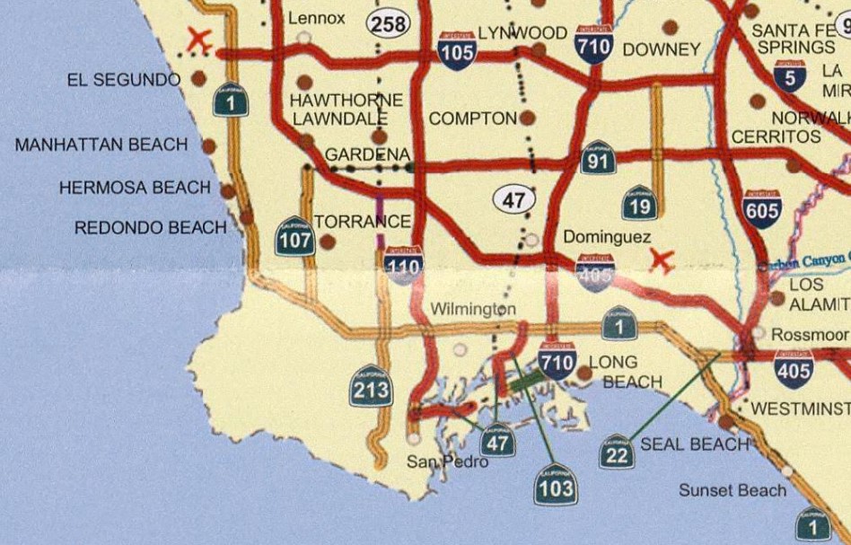
California State Route 213 is a ten mile north/south State Highway located on Western Avenue largely along city limits of Los Angeles and Torrance. California State Route 213 begins at Interstate 405 at Exit 33B near 190th Street and terminates at 25th Street in the Los Angeles neighborhood of San Pedro. California State Route 213 is a sparsely signed State Highway despite only having been somewhat recently rebuilt to State Highway standards.
The California State Route 213 shield above can be found on southbound Western Avenue approaching 218th Street (photo courtesy of M3100 of the AAroads forum). The 2005 Caltrans Map below depicts an incomplete California State Route 213.
Western Avenue was named in the 19th Century as it was the then western city limit of Los Angeles. The 1935 Division of Highways Map of Los Angeles depicts the then future corridor of California State Route 213 (CA 213) straddling the city limit of Los Angeles and Torrance from 190th Street southward to Torrance Boulevard. Western Avenue is shown with a planned extension south to Sepulveda Boulevard. A second planned segment of Western Avenue can be to the south in San Pedro from 9th Street to 25th Street.


The 1938 Thomas Brothers Map of Los Angeles shows Western Avenue extended south to Ocean Street on the Los Angeles/Torrance city line with a planned extension south to 9th Street in San Pedro. Western Avenue is shown completed between 9th Street and 25th Street in San Pedro.


The 1957 Division of Highways Map is the first edition to display Western Avenue completed between Torrance and San Pedro.

1961 Legislative Chapter 1838 defined Legislative Route Number 291 as the following:
"Legislative Route Number 158 (Interstate 405) near Western Avenue to 25th Street in San Pedro"
Thusly Legislative Route Number 291 appears as a planned State Highway with no adopted routing between planned Interstate 405 and 25th Street in San Pedro on the 1962 Division of Highways Map.


1963 Legislative Chapter 1729 added additional language to the definition of Legislative Route Number 291:
"The commission (California Highway Commission) may allocate from the State Highway Fund the necessary funds for the construction of all or any portion of said route when the County of Los Angeles and the Cities of Los Angeles and Torrance have entered into a co-operative agreement with the department wherein the said cities and county shall furnish the state of California without charge all right-of-way necessary and agree to pay one-half the cost of plans and construction."
The above language added to Legislative Route Number 291 never took effect due to the 1964 State Highway Renumbering which dropped the Legislative Route Numbers. Legislative Route Number 291 was redefined as California State Route 213 and had similar language via Legislative Chapter 385. California State Route 213 first appears as a planned State Highway with no adopted routing on the 1964 Division of Highways Map. The initial definition of California State Route 213 clarified that it was to follow Western Avenue.

The only reference to California State Route 213 to appear in the California Highways & Public Works publication came in the November/December 1966 Volume. Said volume announced Western Avenue would be widened as part of California State Route 213 to four lanes from Palo Verdes drive south to Redondela Drive over a span of 0.8 miles during the 1967-68 Fiscal Year. The estimated project cost is stated to be $310,000 which would be shared between the Division of Highways and Los Angeles County.


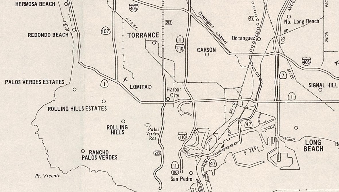
The 2005 Caltrans Map depicts California State Route 213 as a planned State Highway with an adopted routing between Carson Street and Interstate 405.
It is unclear when the remaining two miles of California State Route 213 north from Carson Street to Interstate 405 was added to State Inventory. During September 2021 Caltrans announced numerous pedestrian friendly additions to California State Route 213/Western Avenue would be constructed between Postmiles LA 0.0 north to LA 7.979. California State Route 213 appears in the Caltrans Postmile Map presently complete between 25th Street in San Pedro north to Interstate 405 with 9.9 miles of State maintained mileage.


Comments