

The rest of my time in South Korea was spent near Busan at Songdo Beach. Songdo Beach is South Korea's first public beach, opening in 1913. Today, it is one of several beaches in the Busan area. While there are many attractions—and great places to eat—at Songdo Beach, it has a very relaxed and local vibe.

Songdo Beach translates to "Pine Island." A pine forest was once prominent here.
Songdo Beach Skywalk / Cloud Trails:
 |
| The Skywalk or Cloud Trail is a must visit at Songdo Beach. |

The first thing you will notice when you arrive at Songdo Beach is the walking trail over the ocean. The Cloud Trail, or Skywalk, is a popular attraction and affords many great photo opportunities.
 |
| Sunrise at Songdo Beach from the Cloud Trail. |
It's the perfect spot to wake up early and catch the sunrise.
Songdo Beach:
 |
| A local enjoys a sunny late afternoon at Songo Beach. |
 |
| Songdo Beach encourages you to frame your photos! |
Obviously, the beach is the main attraction at Songdo Beach. Although plenty of high rises surround the beach, it is not overcrowded. Each morning and evening, it was easy to stroll the beach, skywalk, or even the main street. There are numerous places to eat, even a Baskin-Robbins!
 |
| This alley in Songdo Beach was full of small family run restaurants. |
There are plenty of seafood options at Songdo Beach - or walk down an alley to a local bar or some great bibimbap.
 |
| Example of some of the fresh seafood you can enjoy at one of the many Songdo Beach restaurants. |
Busan Air Cruise:

The Busan Air Cruise connects Songdo Beach to Songdo Sky Park Amnam Park. The roughly 1.5-kilometer ride takes about 15-20 minutes as you cross over the water in a cable car. There are two options: a standard cabin or a crystal cabin. The crystal cabin has a glass bottom, allowing you to see the water below.
 |
| The turquoise color of the Sea of Japan from the glass bottom floor of one of the Busan Sky Cruise cable cars. |
The views of Songdo Beach and its surroundings are amazing from the cable cars.
Songdo Sky Park & Amnan Park:

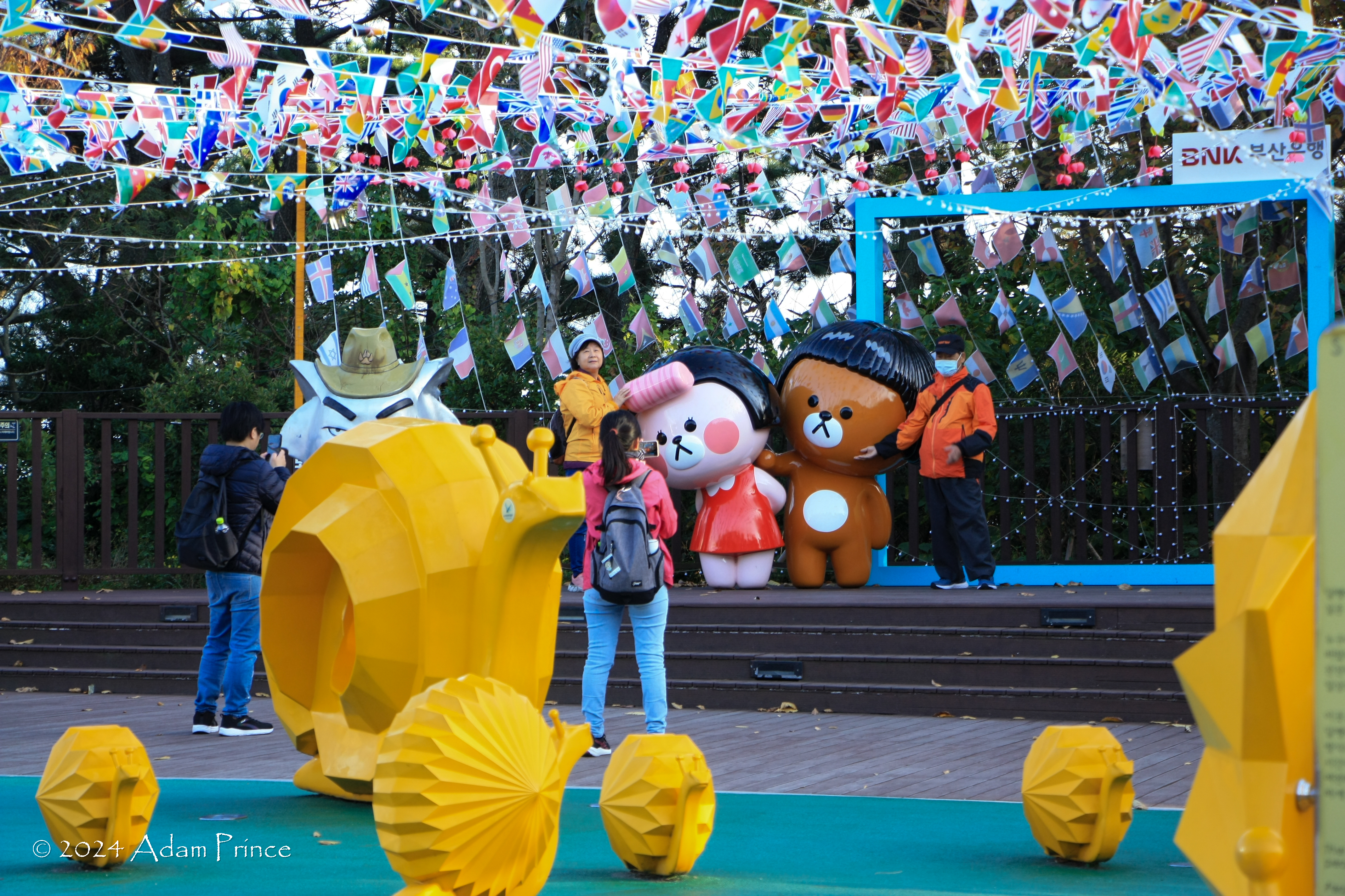 |
| Songdo Skypark and Amnan Park showcases some of South Korea's playful side. |

The Busan Air Cruise connects to Songdo Sky Park with direct access to Amnan Park. The views from here are amazing. There are plenty of activities at Amnan Park, a former military base that is now a nature park.
 |
| Views of Songdo Beach and surroundings from Songdo Sky Park. |

Songdo Yonggung Suspension Bridge:
 |
| The Youngung Suspension Bridge is a unique pedestrian bridge to Dongseom Island. |
From Amnan Park, it is a short walk to the Yonggung Suspension Bridge, which connects to Dongseom Island. Crossing the bridge costs 1000 KRW. Dongseom Island has great views of Songdo and the Sea of Japan.
 |
| Songdo Beach from Dongseom Island. |
 |
| I would have loved to explore the Songdo Coastal Walk/Bolle-gil Trail but it was under repair. |
The one attraction I did not get to experience was the Songdo Coastal Walk. Damaged from recent typhoons, the boardwalk along the rocky coast is said to offer amazing views and hidden beaches.
 |
| Sunset my final evening at Songdo Beach. |
Songdo Beach is a fun escape from the urban surroundings of Busan. I'm so glad I was fortunate to discover this part of the world.
All photos taken by post author - November 2024.
Site Navigation:
Discover More:
- South Korea: The Skywalks of Busan ---She Walks The World
- Songdo Beach: What To Do Around Busan's Peaceful Beach ---A Free Soul Abroad
- A Day Around Songdo Beach, Busan ---Creatrip.com
- The Ultimate Songdo Beach Attraction Guide ---HungryPursuit.com
Comments