California State Route 330 is an approximately fifteen-mile State Highway located entirety in San Bernadino County. California State Route 330 begins at California State Route 210 near Highland and ascends into the San Bernadino Mountains via City Creek Road to California State Route 18 at Running Springs. City Creek Road was first developed in 1891 as a tolled facility and became a public highway in 1903. City Creek Road was brought into the State Highway System as Legislative Route Number 207 in 1937. The modernization of City Creek Road came after World War II as it was gradually improved via five project zones. The blog cover photo of City Creek Road was taken in 1951 after the final modernization project had concluded. City Creek Road was subsequently assigned as a component of California State Route 30 during 1953. City Creek Road was reassigned as California State Route 330 during 1972 when California State Route 30 was realigned to Redlands.

Part 1; the history of California State Route 330
The basis of California State Route 330 (CA 330) is City Creek Road between Highland and Running Springs. The City Creek Toll Road was constructed during 1891 for $52,000 dollars as an access roadway by the Highland Lumber Company. San Bernardino County purchased the City Creek Toll Road in 1903 via a provision by the State Legislature and made it a public highway. Upon purchasing City Creek Road, San Bernardino County widened it via use of prison labor.
The1935 Division of Highways Map of San Bernardino County displays City Creek Road as a major county highway between Highland and Running Springs.
City Creek Road was added to the State Highway System as part of 1937 Legislative Chapter 15 as Legislative Route Number 207 (LRN 207). City Creek Road was brought into the State Highway System due to the existing roadway being inadequate to handle modern traffic. LRN 207 originally carried the following definition:
"LRN 190 near Highland northeasterly to LRN 43 (CA 18); also from a point on said LRN 43 near where it crosses Deep Creek, thence northeasterly to and connecting Forest Service North Side Road in Green Valley."
LRN 207 first appears on the 1938 Division of Highways Map. LRN 207 appears with a second segment east of Running Springs which ended in Green Valley via Green Valley Lake Road.
1939 Legislative Chapter 473 recreated LRN 207 but did not make an alteration to the route definition. The definition of LRN 207 was altered by 1941 Legislative Chapter 142 which removed the Green Valley segment from the State Highway System. The truncated LRN 207 appears on the 1942 Division of Highways Map aligned between LRN 190 near Highland to CA 18/LRN 43 near Running Springs.
The paving and grading of LRN 207 over a distance of 16.4 miles appears in November/December 1943 California Highways & Public Works as a post-World War II project approved by the California Highway Commission.
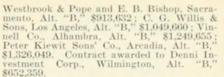
The May/June 1946 California Highways & Public Works notes contracts had been awarded to pave 3.2 miles of LRN 207/City Creek Road and install a new bridge over City Creek.
The September/October 1947 California Highways & Public Works announced grading and construction of structures along LRN 207 from City Creek to Plunge Creek as being added to the 1947-48 Fiscal Year budget.
The September/October 1948 California Highways & Public Works announced LRN 207 from Long Point to 1.3 miles west of Running Springs was funded for grading/surfacing during the 1949-50 Fiscal Year.
The September/October 1951 California Highways & Public Works announced the completion of the modernization of City Creek Road as part of LRN 207. City Creek Road was modernized via five construction units which fully opened to traffic by August 19th, 1951.
The new alignment of City Creek Road and LRN 207 appears on the
1952 Division of Highways Map. The modernized alignment of City Creek Road is notably elongated from the 1891 variant to lessen the gradient of the climb into the San Bernardino Mountains.
The
May/June 1953 California Highways & Public Works announced CA 30 as a new Sign State Route. CA 30 originally followed LRN 190 from US Route 66/LRN 9 near to La Verne east to LRN 207, the entirety of LRN 207 via City Creek Road to CA 18/LRN 43 at Running Springs.
The
1957 Division of Highways Map displays CA 30 multiplexing CA 18/LRN 43 east of LRN 207 to Bear Valley Dam and running along the south shore of Big Bear Lake.

The
November/December 1958 California Highways & Public Works in a District VIII report announced work had commenced on an extension of CA 30 from Big Bear City over planned LRN 190 towards Barton Flats via a then unnamed 8,400-foot-high summit in San Bernardino National Forest. Five miles of CA 30/LRN 190 east of Barton Flats are stated to be in the process of construction.


The Freeway & Expressway System was created during 1959. The entirety of LRN 207 was added as an initial component due to it being designed as an expressway grade.
The
1961 Division of Highways Map displays LRN 190 as complete between US Route 99/US Route 70/LRN 26 in Redlands and CA 30/LRN 43 near Big Bear Lake. The entire corridor is shown to have been assigned as part of the newly designated CA 38.

The
September/October 1961 California Highways & Public Works announced the completion of CA 38/LRN 190 in San Bernardino Mountains during July 1961. The completion of CA 38/LRN 190 in the San Bernardino Mountains is stated to have included numerous contracts administered by the Division of Highways, the Forest Service and Bureau of Public Roads. The new segment of CA 38/LRN 190 is referred to the "Barton Flats to Big Bear Loop" which spanned 16 miles in total length. Construction on closing the gap in LRN 190 began during June 1959. The article notes the entire new segment of CA 38/LRN 190 to be a freeway, but this likely was an intended to read as an "expressway." Opening ceremonies for the completion of CA 38/LRN 190 are stated to have been held on August 12th, 1961, at Onyx Summit. It is unclear why CA 30 was not designated east of Big Bear Lake over LRN 190 as cited in the November/December 1958 California Highways & Public Works.

As part of the 1964 State Highway Renumbering the Legislative Route Numbers were dropped in favor of field signage and unnecessary multiplexes were largely eliminated. Subsequently LRN 207 was dropped in favor of becoming Legislatively defined as part of CA 30. CA 30 was truncated from Big Bear City to CA 18 at Running Springs. The new definition of CA 30 appears on the
1964 Division of Highways Map.
The California Highways & Public Works publication ended in 1967 prior to the completion of the new CA 30/CA 106 freeway interchange in Highland. The
1967 Division of Highways Map depicts the planned freeway routing for the CA 30/CA 106 freeway interchange and the planned transition to City Creek Road.
1972 Legislative Chapter 1216 defined CA 330 as "Route 30 near Highland northeasterly to Route 18" via transfer from CA 30. CA 30 was subsequently realigned over what had been CA 106 to Interstate 10 near Redlands. CA 330 first appears on the
1975 Caltrans Map and is one of the few instances of a California State Highway having a designated three-digit child route.
1999 Assembly Bill 1650, Chapter 724 changed the wester terminus of CA 330 to CA 210 due to CA 30 being consolidated as one continuous route with Interstate 210. The modern iteration of CA 330 appears on the
2005 Caltrans Map with a short connecting freeway from CA 210 to City Creek Road.
Part 2; a drive on California State Route 330
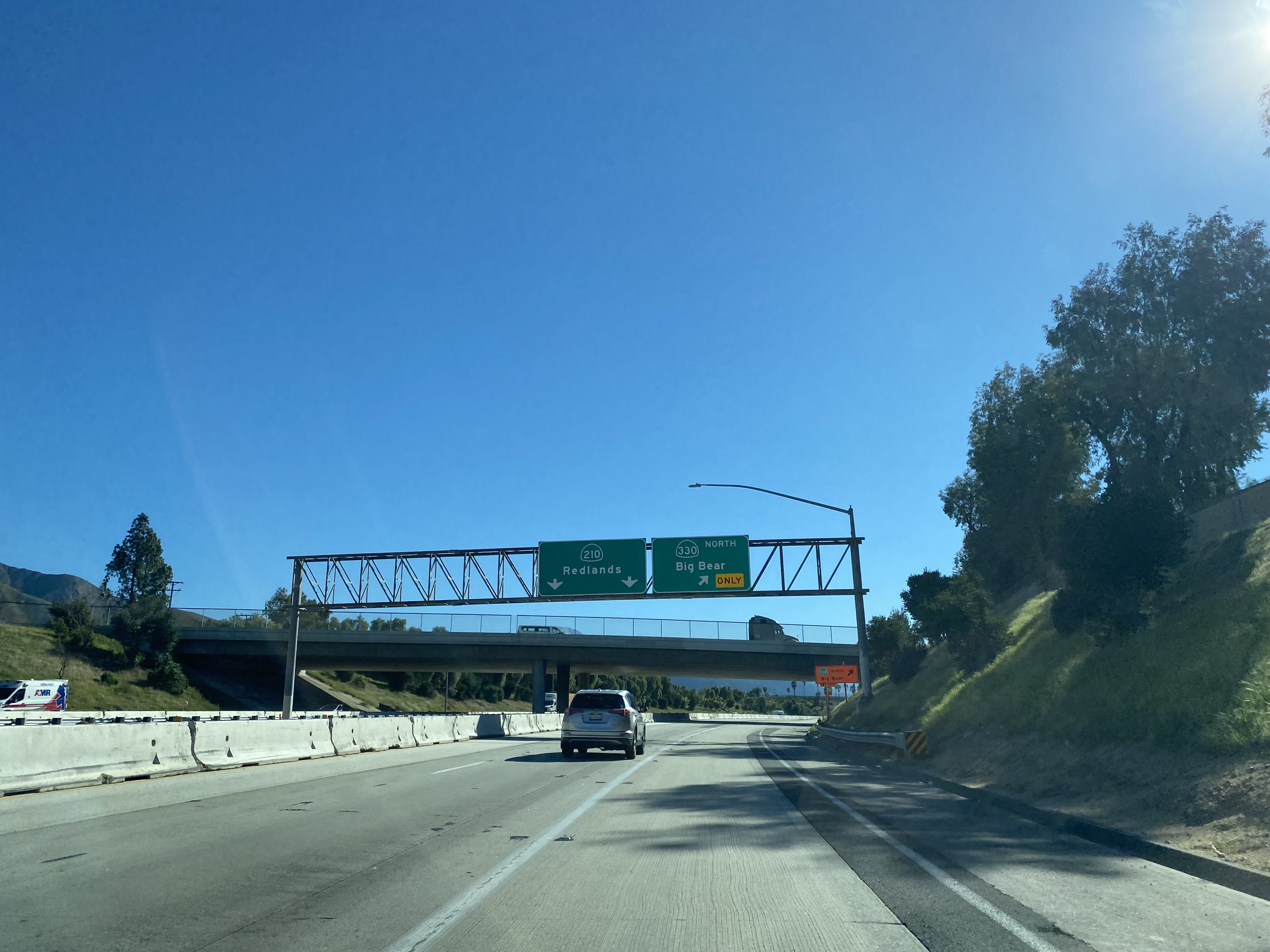
CA 330 eastbound begins in the city of Highland from CA 210 Exit 81.
CA 330 eastbound begins as a small freeway which has an unnumbered Exit at Highland Avenue.
CA 330 east of Highland Avenue is signed as Steve Faris Memorial Highway.
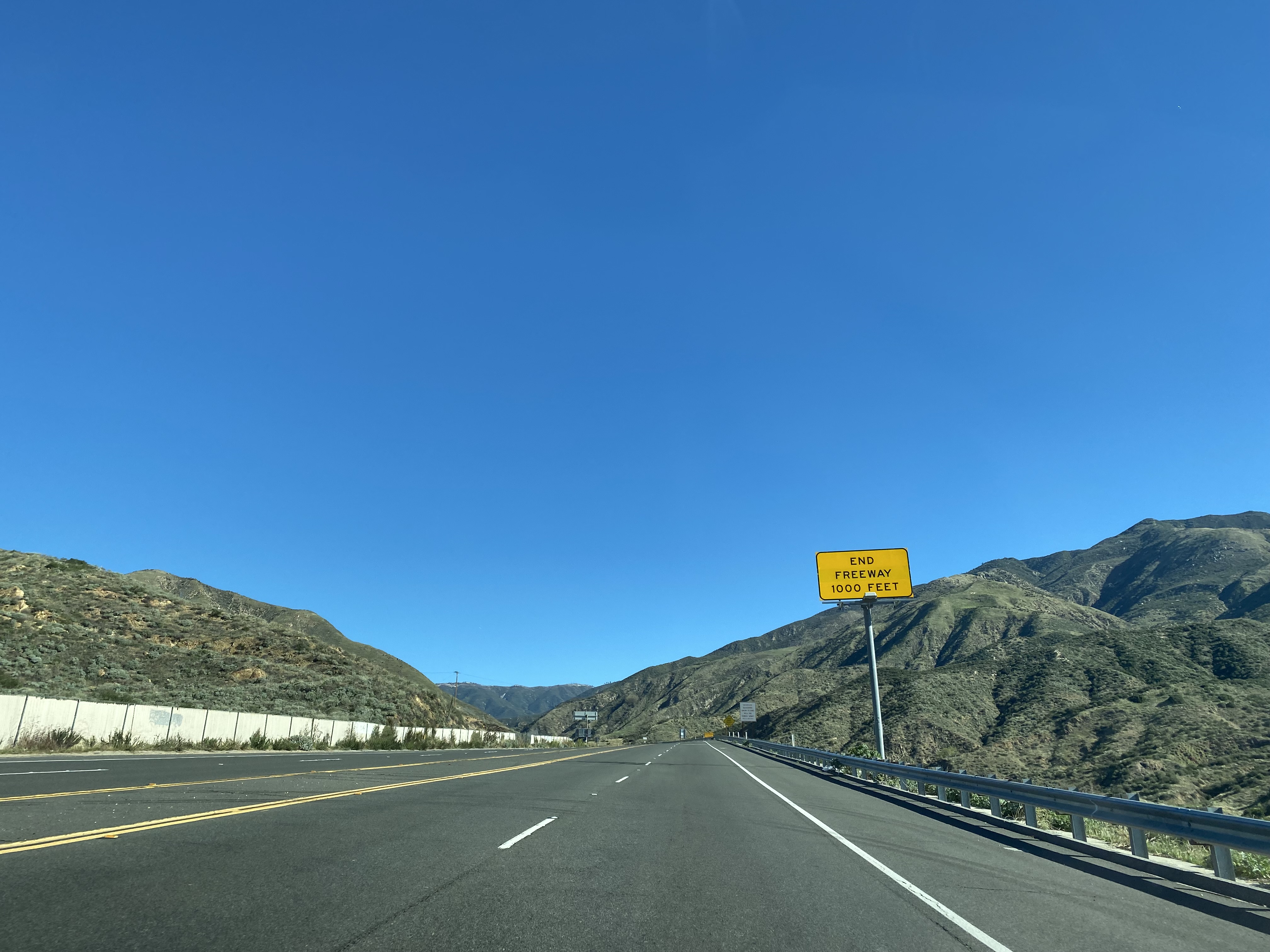
CA 330 transitions off the end of it's freeway grade onto City Creek Road.
At Postmile SBD 31.23 CA 330 eastbound enters San Bernadino National Forest. Notably the Postmiles on CA 330 are inherited from the 1964 definition of CA 30.
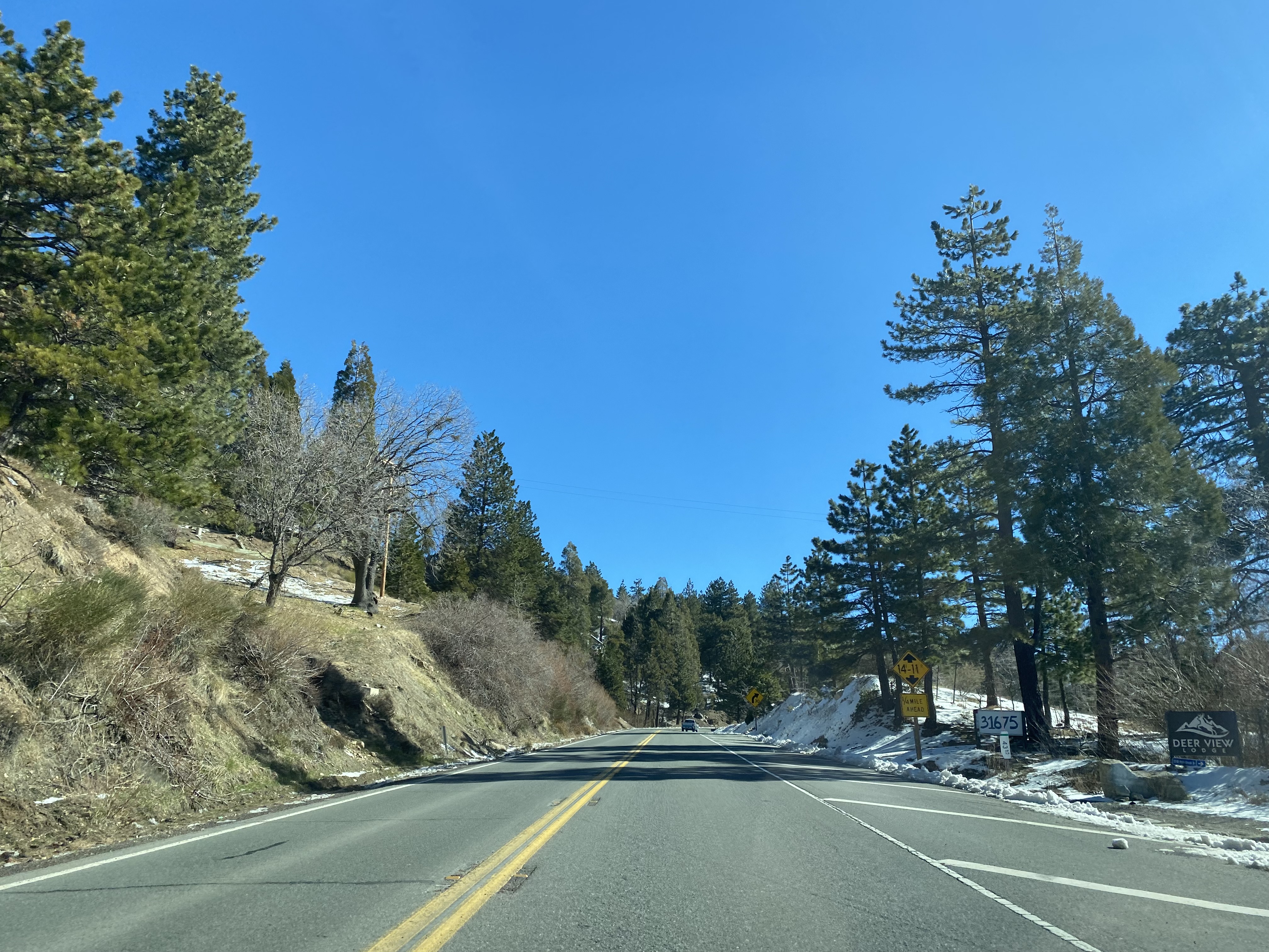
Traffic on CA 330 is advised to turn off air conditioning during the 14 mile climb east through the San Bernadino Mountains to Running Springs.
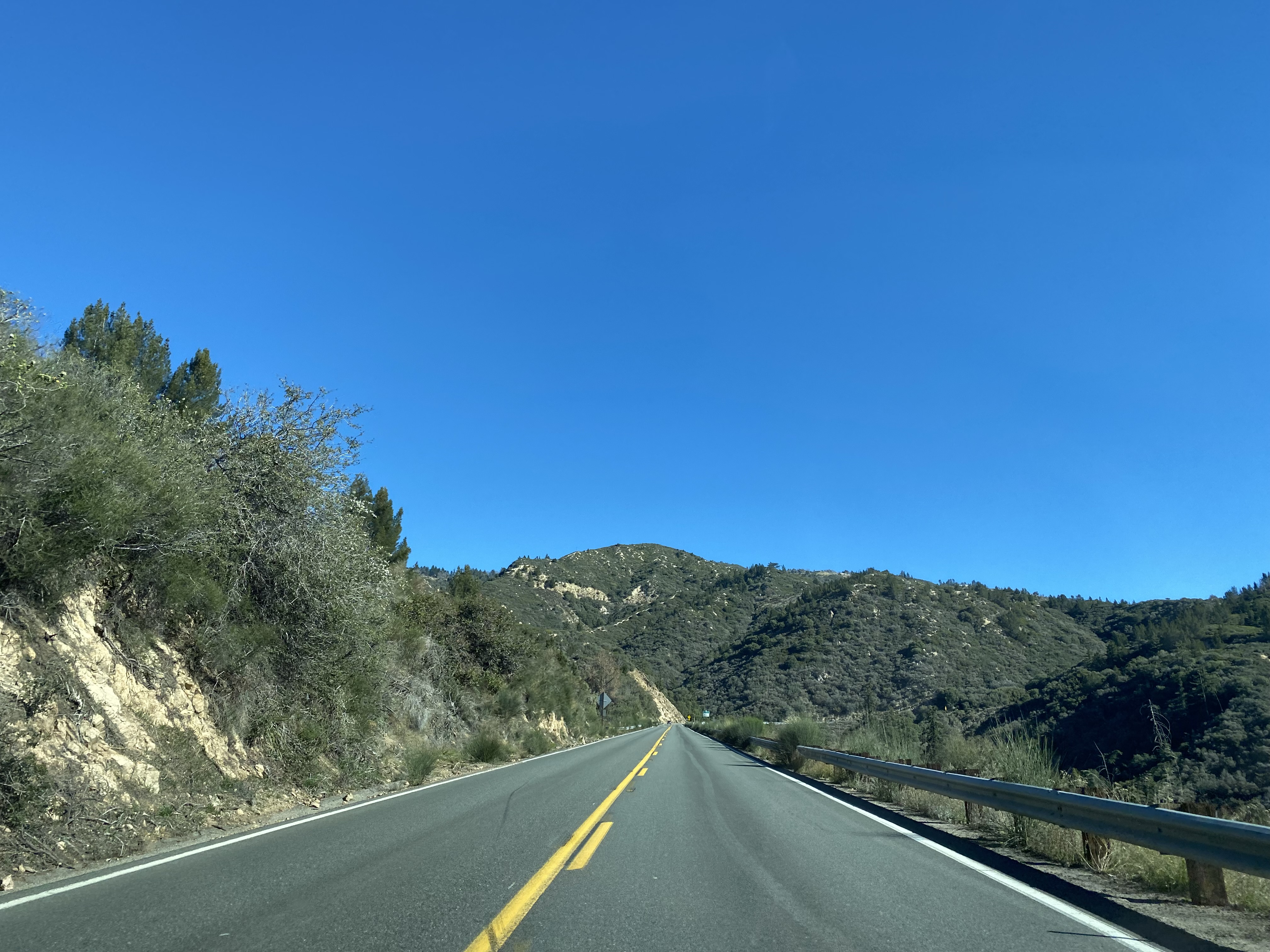
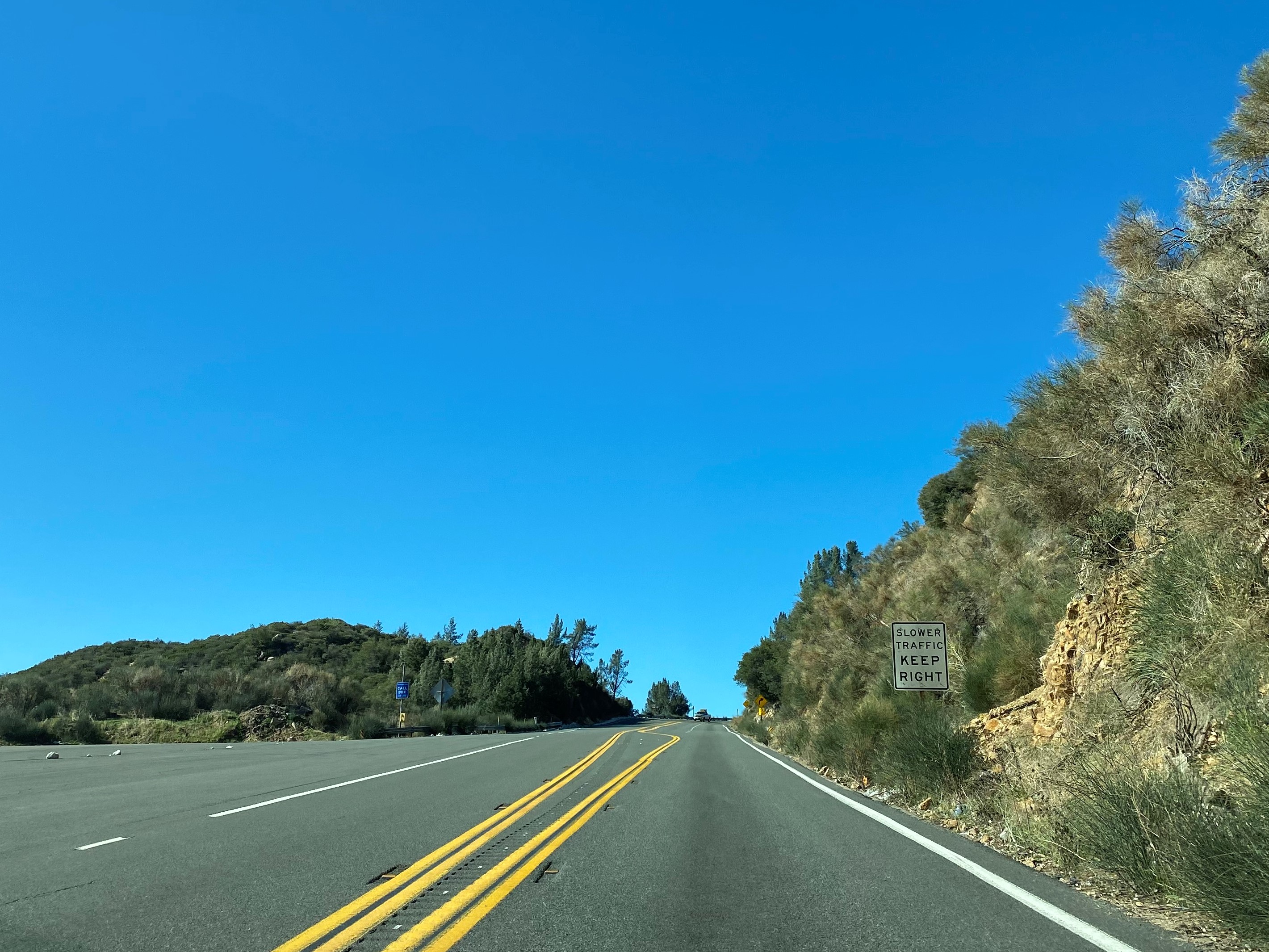
CA 330 eastbound ascends through the San Bernardino Mountains as a largely two-lane expressway intermixed with four-lane passing zones. CA 330 eastbound climbs to 4,000 feet above sea level at approximately Postmile SBD 37.80.
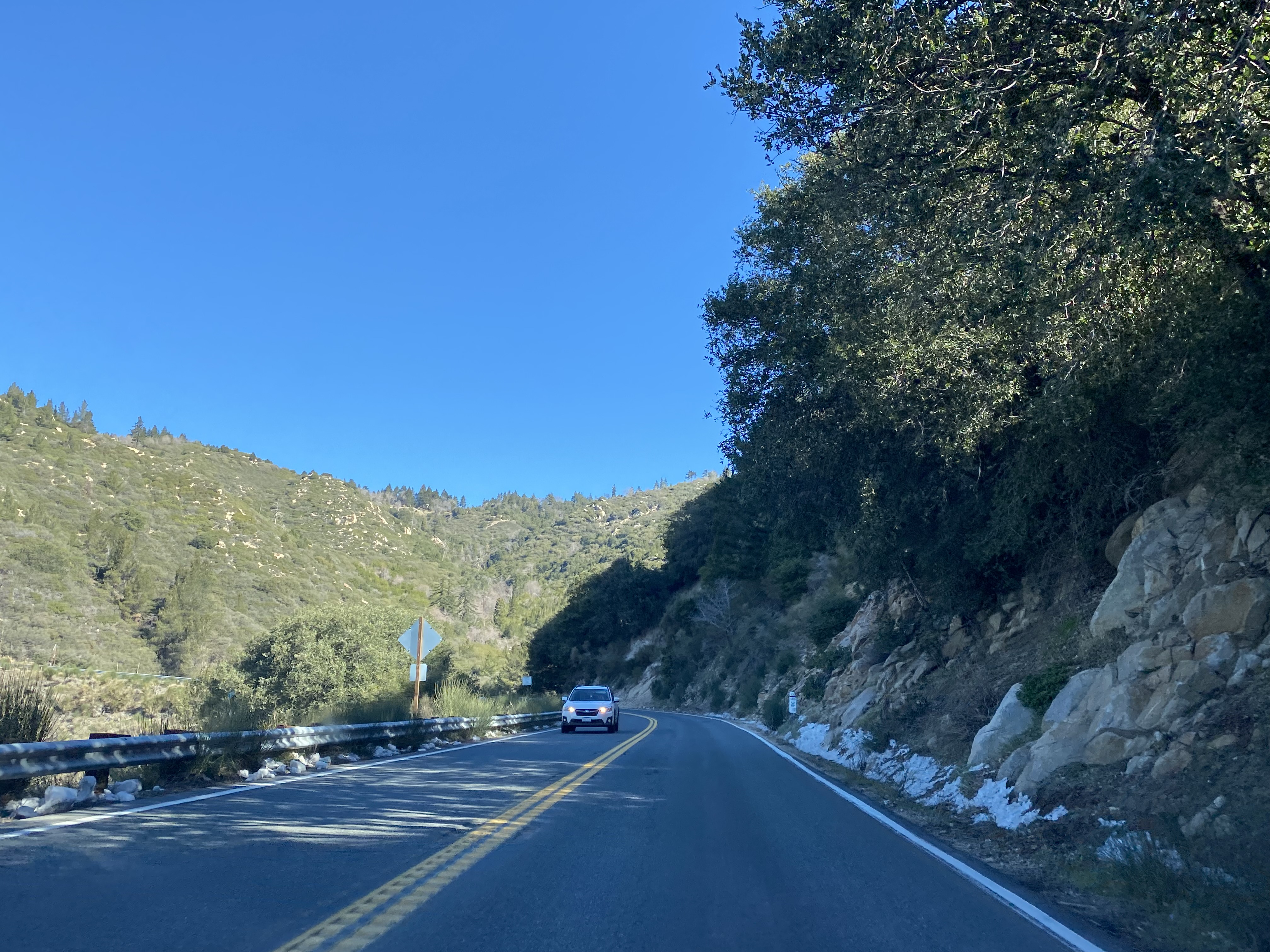
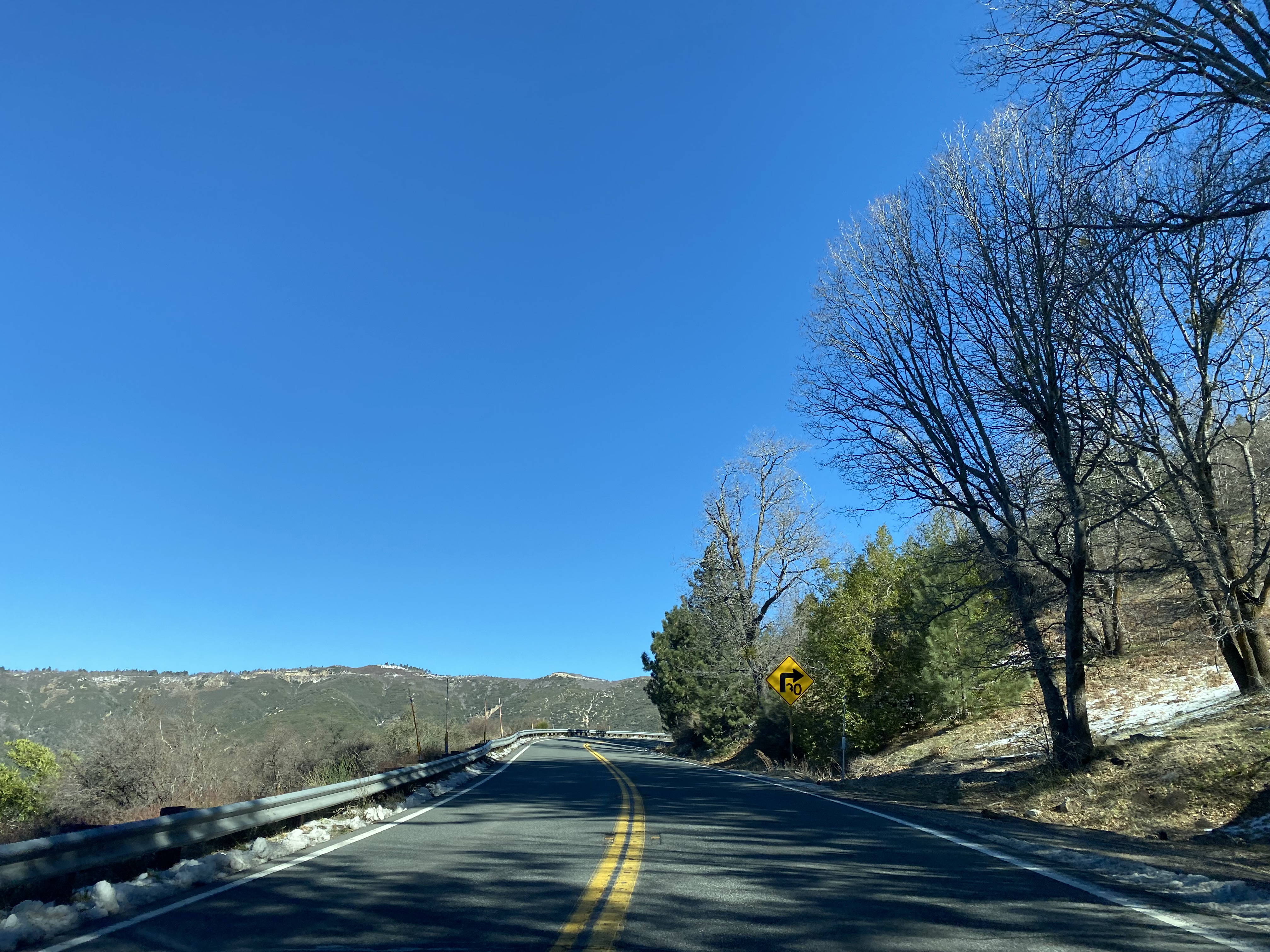
CA 330 eastbound continues to climb towards Running Springs. Approaching Running Springs CA 330 eastbound intersects Old City Creek Road several times with final instance coming at Postmile SBD 42.66.
CA 330 enters Running Springs and passes under CA 18. Traffic headed into Running Springs is directed to Exit onto CA 18 whereas Big Bear traffic is directed to stay on CA 330. Running Springs lies at an elevation of 6,109 feet above sea level.
CA 330 eastbound terminates at CA 18 at Postmile SBD 44.10 in Running Springs.


Comments