
A Few Thoughts on Binghamton's "SNOWVID Emergency"


The icy confluence of the Chenango (left) and Susquehanna (right) Rivers in downtown Binghamton

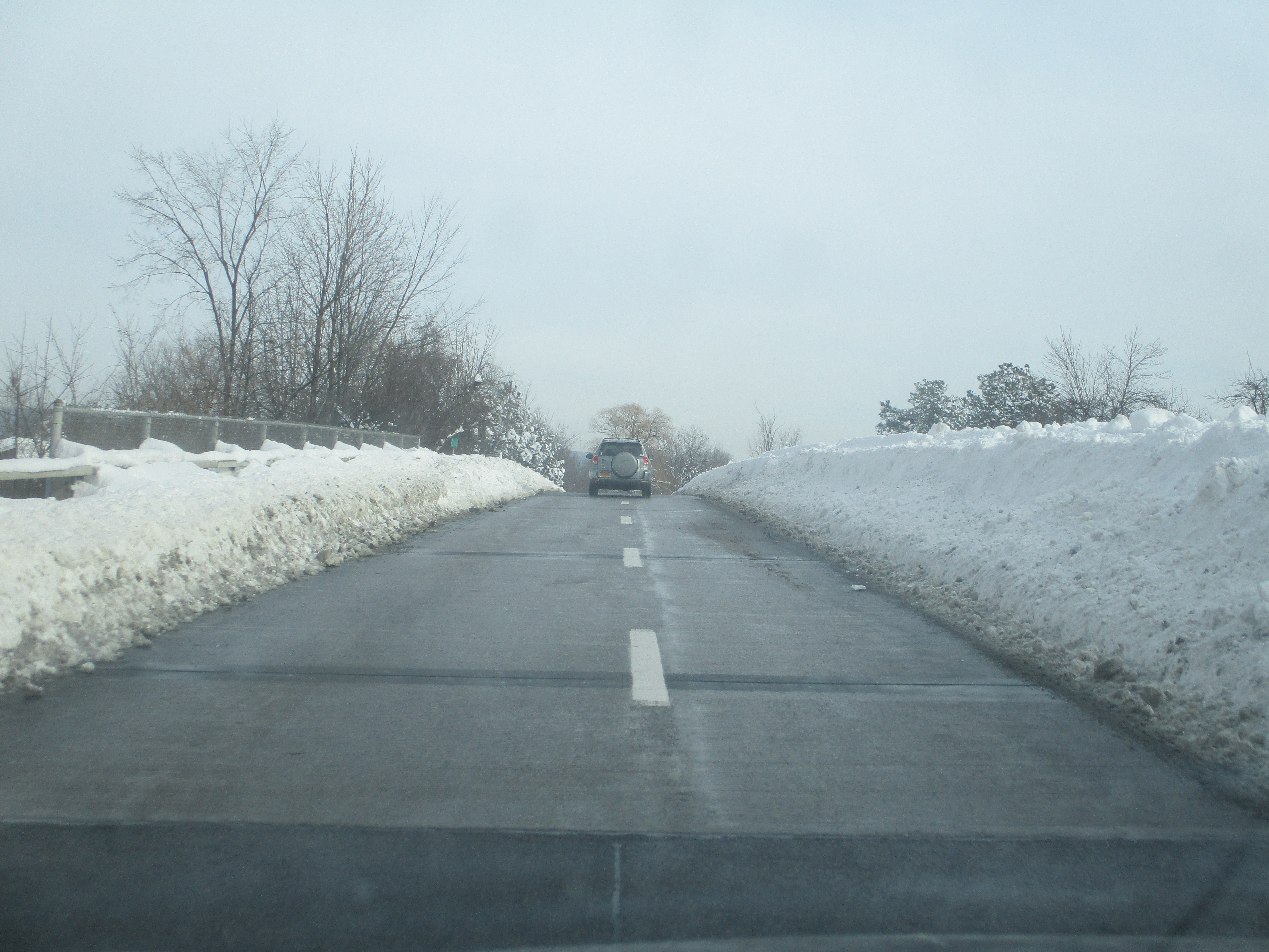
In a typical winter season, the city of Binghamton, NY (located at the confluence of Interstates 81, 86, and 88 in New York State's Southern Tier region) receives around 60 inches of snowfall on average and is among the "Snow Capitals" of the state. It is not the “flagship” location for big snowfall in New York (see places such as Buffalo, Oswego, and Watertown), but this part of the state is no stranger to large-scale snowstorms, thanks to both Lake Effect and Nor’easter-type storm systems. During the Nor’easter of December 16-17, 2020, Binghamton and its surrounding communities recorded well in excess of three feet of snow within a 48-hour period, setting an all-time record for a two-day snowfall total. The locals immediately began cleverly calling this storm the “SNOWVID Emergency” and its immediate impact was to effectively paralyze travel across the region, both on the local street grid and on the major freeways of the area. Snow removal crews descended upon the region in the days after the storm – crews from New York State DOT responded in full force, as did an auxiliary set of crews offered to the area by the New York State Thruway Authority. Crews worked around the clock for days to make the streets and highways of the area passable again in an effort to reopen the city in time for the final days of the Christmas shopping season.

In the aftermath of this storm, I decided to make the 2+ hour journey up Route 17 to check out the big snowfall for myself. Having attended the University at Buffalo’s School of Engineering & Applied Sciences, I am no stranger to witnessing enormous snowfalls in New York’s “Snow Belt”, but it had been several years since I had seen one quite this big. I was very impressed with the progress that had been made in the snow removal category by the date of my visit (Saturday, 12/19). In general, shoulder lanes and auxiliary travel lanes were not always completely clear, and areas along on/off ramps were problematic due to lack of snow-clearing and overall lack of visibility due to the tall mounds of snow working to block typical sight lines at interchanges. However, considering that these scenes were captured about 48 hours after the storm’s conclusion, the major roads and streets across the area were in fairly good shape and generally open to traffic. It was great to see folks out and about doing their part to get things open again – this is the kind of event that folks around this corner of the world are typically better prepared for than most.

What follows is a pictorial guide to the “Triple Cities” area of the Southern Tier (referring to the area around neighboring Binghamton, Johnson City, and Endicott) as we take a look at the impressive aftermath of one of the area’s biggest snowfall events in recorded history. The story of this storm will be told by residents and travelers of this area for many years to come.

 
Entering the city of Binghamton from the east on Route 17/I-81/I-86 westbound

Ground-level views of the Prospect Mountain Interchange - where I-81 & I-86/NY 17 meet north of downtown

Aerial views of the Prospect Mountain Interchange, which was recently reconstructed to improve connections between the two highways and the surrounding local streets

Scenes along the State Street Bridge & North Shore Drive/NY 363 in/near downtown

A snow-covered Washington Street Bridge spanning the Susquehanna downtown

Ground level views of partially-cleared Binghamton city streets

Aerial views of Binghamton's bridges and city streets

Johnson City Circle & Johnson City Flyover on NY 201, viewed from the air

Johnson City neighborhoods and the NY 201 Expressway viewed from the air

Susquehanna River Railroad Bridge in Johnson City viewed from the air


Ground-level views of Johnson City Circle & the NY 201 Expressway through Johnson City

A Gateway to Johnson City... and Winter 2020 - get out there and enjoy it if you can!

Comments

Unknown said…
Impressive although we often see deeper snow near Donner Summit, CA https://youtu.be/OKE_XJDw2zc

Popular posts from this blog

Abandoned US Route 40 in the Truckee River Canyon

Within the Truckee River Canyon in the Sierra Nevada range numerous abandoned portions of US Route 40 can be found alongside modern Interstate 80.   This segment of highway was opened during 1926 as a bypass of the Dog Valley Grade which carried the early North Lincoln Highway and Victory Highway. The corridor of the Truckee River Canyon State Highway would be assigned as US Route 40 when the US Route System was commissioned during November 1926. During 1958 the segment of Interstate 80 between Boca, California and the Nevada state line was complete. When Interstate 80 opened east of Boca numerous obsolete portions of US Route 40 were abandoned. Some of these abandoned segments have been incorporated into the Tahoe-Pyramid Trail.  Part 1; the history of US Route 40 in the Truckee River Canyon The Truckee River Canyon for centuries has been an established corridor of travel known to native tribes crossing the Sierra Nevada range.  The first documented wagon crossi...

Former US Route 50 and the Pioneer Route Lincoln Highway on Johnson's Pass Road

Johnson's Pass Road is one of the oldest highway corridors in California.  Johnson's Pass was part of the Lake Tahoe Wagon Road as it was completed during 1856 over the Sierra Nevada.  The pass would later be incorporated into the Pioneer Branch of the Lincoln Highway in 1913 and US Route 50 in 1926.  Johnson's Pass Road would be bypassed by a new alignment of US Route 50 over Echo Summit in 1938.  A replacement of the Meyers Grade east of Johnson's Pass would be opened to traffic in 1947.   Johnson's Pass Road remains accessible to traffic and is still signed by the Lincoln Highway Association.  Pictured as the blog cover is the view from the top of Johnson's Pass Road overlooking modern US Route 50 and Lake Tahoe.   Part 1; the history of Johnson's Pass Much of the history of what become the Lake Tahoe Wagon Road is discussed in the  September 1950 California Highways & Public Works  during its Centennial Edition.  The or...

Former US Route 50 and the South Lincoln Highway from Folsom east to Placerville

The corridor of Folsom of Sacramento County east to Placerville of El Dorado County has been a long established corridor of overland travel dating back to the California Gold Rush.  The Folsom-Placerville corridor was once part of the path of the Lake Tahoe Wagon Road which became the first California State Highway and later the South Lincoln Highway.  In time the South Lincoln Highway's surface alignment was inherited by US Route 50.  The Folsom-Placerville corridor also includes the communities of; Clarksville, Shingle Springs and El Dorado. Part 1; the history of the Lake Tahoe Wagon Road, South Lincoln Highway and US Route 50 through Folsom-Placerville Folsom is located on the American River/Lake Natoma of eastern Sacramento County.  That lands now occupied by the City of Folsom were part of Rancho Rio de los Americanos prior to the finding of gold at Sutter's Mill during 1848.  During the California Gold Rush the lands of Rancho Rio de los Americanos were p...