
Nevada State Route 431 is a designation carried along Mount Rose Highway in Washoe County, Nevada. The 24.413-mile corridor begins at Interstate 580/US Route 395 in southern Reno and terminates at Nevada State Route 28 at Incline Village along the northeast shore of Lake Tahoe.
Mount Rose Highway crosses the namesake 8,911-foot-high Mount Rose Summit. The highway is the highest road corridor open all year in the Sierra Nevada range. The origins of Mount Rose Highway began with the development of a road up Galena Creek in 1906. During 1932 the Nevada Department of Highways commissioned Mount Rose Highway as Nevada State Route 27. The corridor was completed over Mount Rose Summit to Incline Village by the late 1930s and would be heavily modernized during the early 1950s. The current designation of "Nevada State Route 431" was commissioned in 1976 but was not signed in-field for several years.

Part 1; the history of Mount Rose Highway
Mount Rose is a 10,776-foot-high peak in the Carson sub-range of the larger Sierra Nevada range. The first European-American ascent of the peak was made by Dr. James Edward Church in 1895. Church would later go onto establish the Mount Rose Weather Observatory during June 1905. The observatory was partially accessible by road which constructed by Washoe County along Galena Creek towards the vicinity of Mount Rose Summit. This early county road would be in time would be incorporated into the original alignment of Mount Rose Highway.
During 1931 the Galena Fish Hatchery would open along the Mount Rose Observatory Road. Increasing usage of the Mount Rose area led to interest in extending the existing highway corridor to Incline Village along the northeast shore of Lake Tahoe.
The first reference to Mount Rose Highway appearing in the Nevada State Highway System can be seen on the 1932 Official Highway Map of Nevada. The entire corridor is shown as part of Nevada State Route 27 and as a Federal Aid portion of the State Highway System. None of the route is shown to be constructed to State Highway standards.


The Nineth Biennial Report of the Nevada Department of Highways for the July 1, 1932, to June 30, 1934, period provides an update on the progress of construction of Mount Rose Forest Highway. 5.20 miles of highway originating at Reno Hot Springs west to Galena Creek are noted to have been oiled by the Bureau of Public Roads.

Mount Rose Highway is shown complete on both sides of National Forest lands on the 1936 Official Highway Map of Nevada.

Mount Rose Highway is shown to be complete on the 1937 Official Highway Map of Nevada. East of Mount Rose Summit (shown as 9,000 feet above sea level) the highway is shown to be paved towards Nevada State Route 3. West of the summit is shown to be a gravel surface to Nevada State Route 28 at Incline Village.

The Twelfth Biennial Report of the Nevada Department of Highways for the July 1, 1938, to June 30, 1940, time period announced Mount Rose Highway had been kept open to Grass Lake during winter months.

The Seventeenth Biennial Report of the Department of Highways for the July 1, 1948, to June 1, 1950, time period announced Mount Rose Highway was improved between the Ski Bowl and Mount Rose Lodge. Much of Mount Rose Highway east of Mount Rose Summit would be realigned onto gentler grades by the early 1950s. The original portions are now signed as "Old Mount Rose Highway" in places.

The Twenty First Biennial Report of the Department of Highways for the 1957-1958 Fiscal Years announced a contract had been awarded to reconstruct Mount Rose Highway from Incline Village to Mount Rose Summit.

The Twenty Second Biennial Report of the Department of Highways for the 1959-1960 Fiscal Year announced three of the four construction contracts to build a new alignment of Mount Rose Highway from Incline Village to Mount Rose Summit had been completed.

As part of the wider 1976 Nevada State Highway Renumbering what was Nevada State Route 27 along Mount Rose Highway was replaced with Nevada State Route 431. The new number insinuated it was among a cluster of state highways originating the northwest part of the state. The new number was not prioritized for several years and first appears on the 1982 Nevada Department of Transportation map.

On June 27, 1996, the Nevada Department of Transportation designated twenty miles of Nevada State Route 431 as Mount Rose Scenic Byway.
Part 2; a drive on Mount Rose Highway
Westbound Mount Rose Highway begins from Interstate 580/US Route 395 Exit 24 at the southern city limits of Reno. The same exit can be used to access Nevada State Route 341 and the Geiger Grade towards Virginia City.


Westbound Mount Rose Highway is initially four lanes as it climbs through unincorporated Washoe County. The highway drops to two lanes at Bordeaux Drive and enters Humboldt-Toiyabe National Forest.


Mount Rose Highway crosses Galena Creek.


Westbound Mount Rose Highway makes a rapid ascent through a series of switchbacks and passes Mount Rose Ski Tahoe.


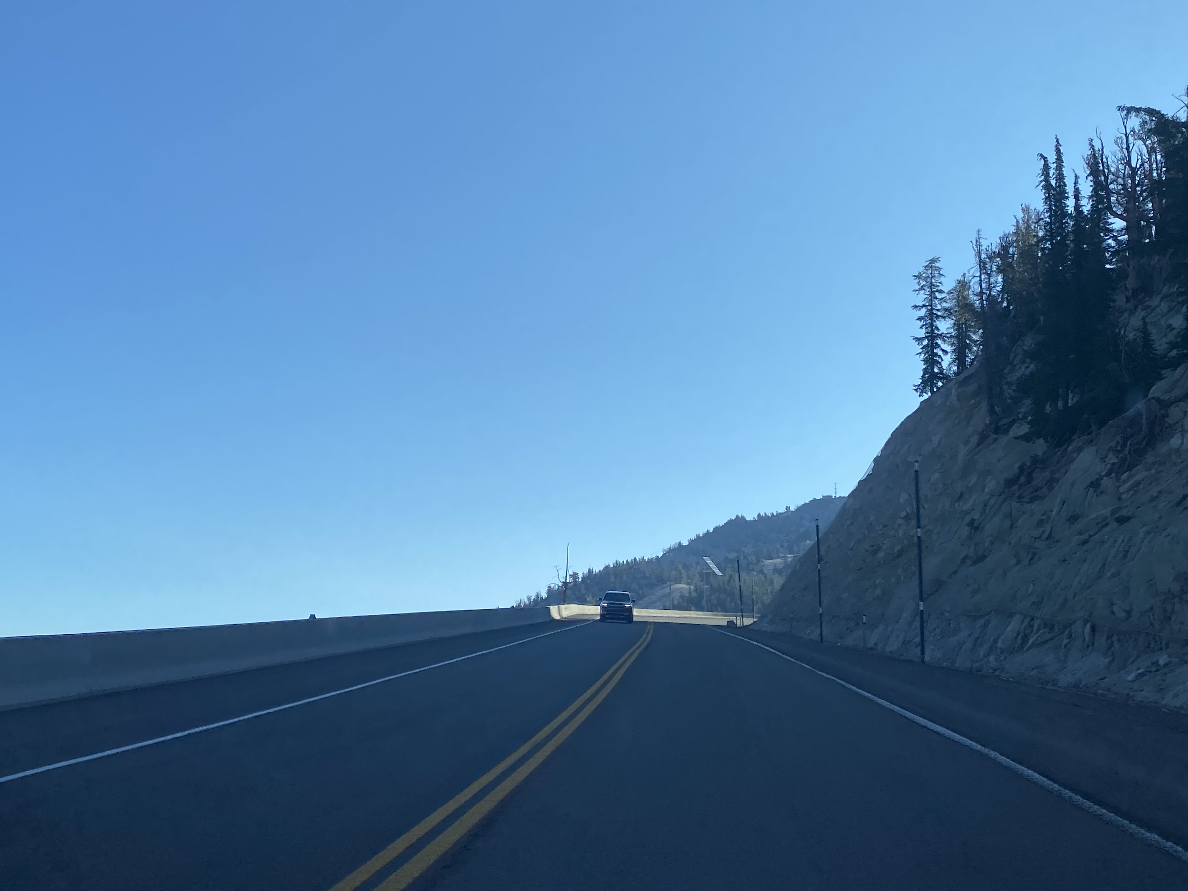
Mount Rose Highway makes final ascent to Mount Rose Summit which is located 8,911 feet above sea level. Mount Rose Summit is the highest pass open all-year in the Sierra Nevada range.



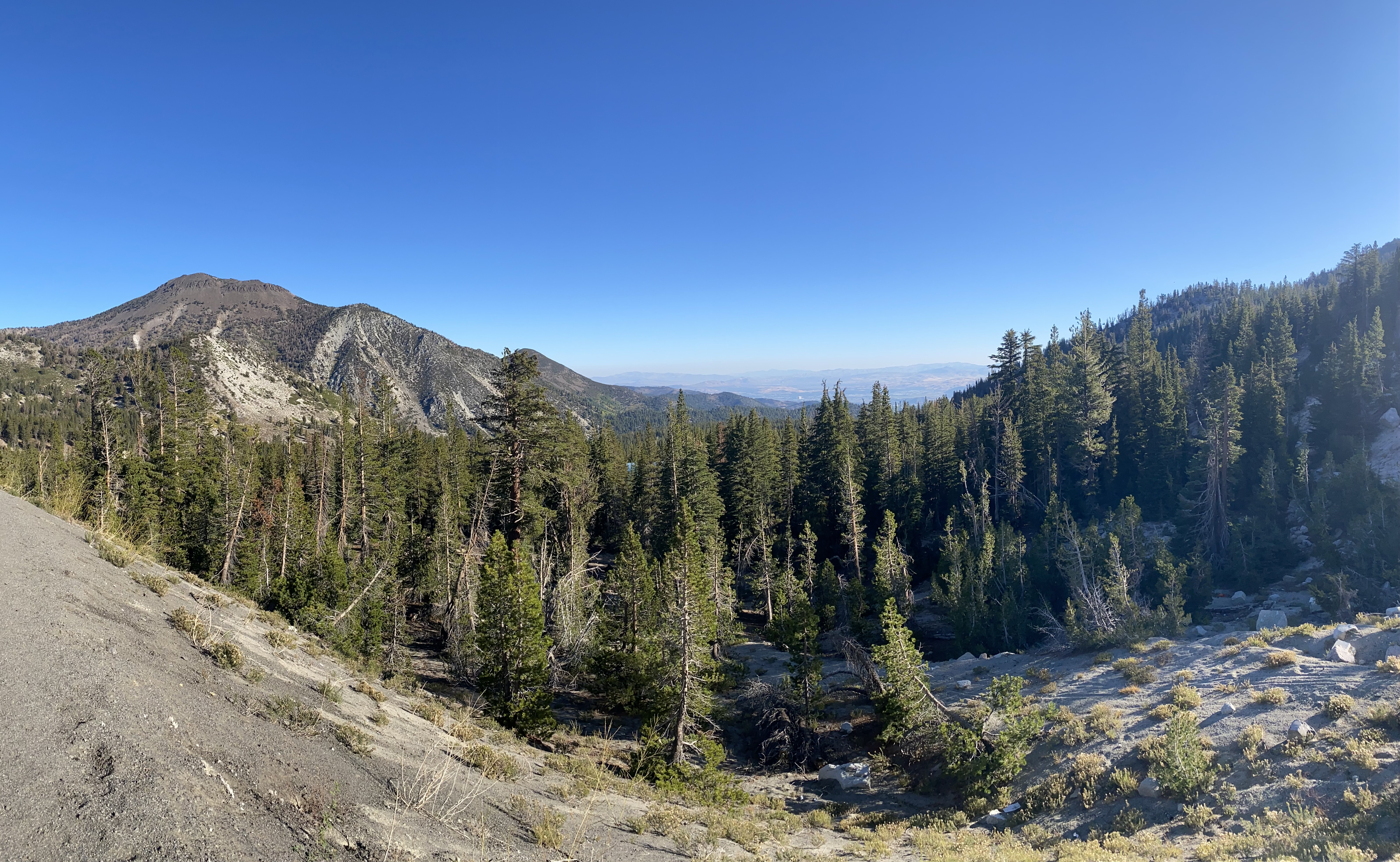
Reno can be seen facing northeast from Mount Rose Summit.
A historical marker regarding Mount Rose Weather Observatory can be found near the trailhead to Mount Rose.

Westbound Mount Rose Highway begins rapid descent towards Lake Tahoe and Incline Village. The Lake Tahoe Viewpoint can be found at an elevation of 7,562 feet above sea level.


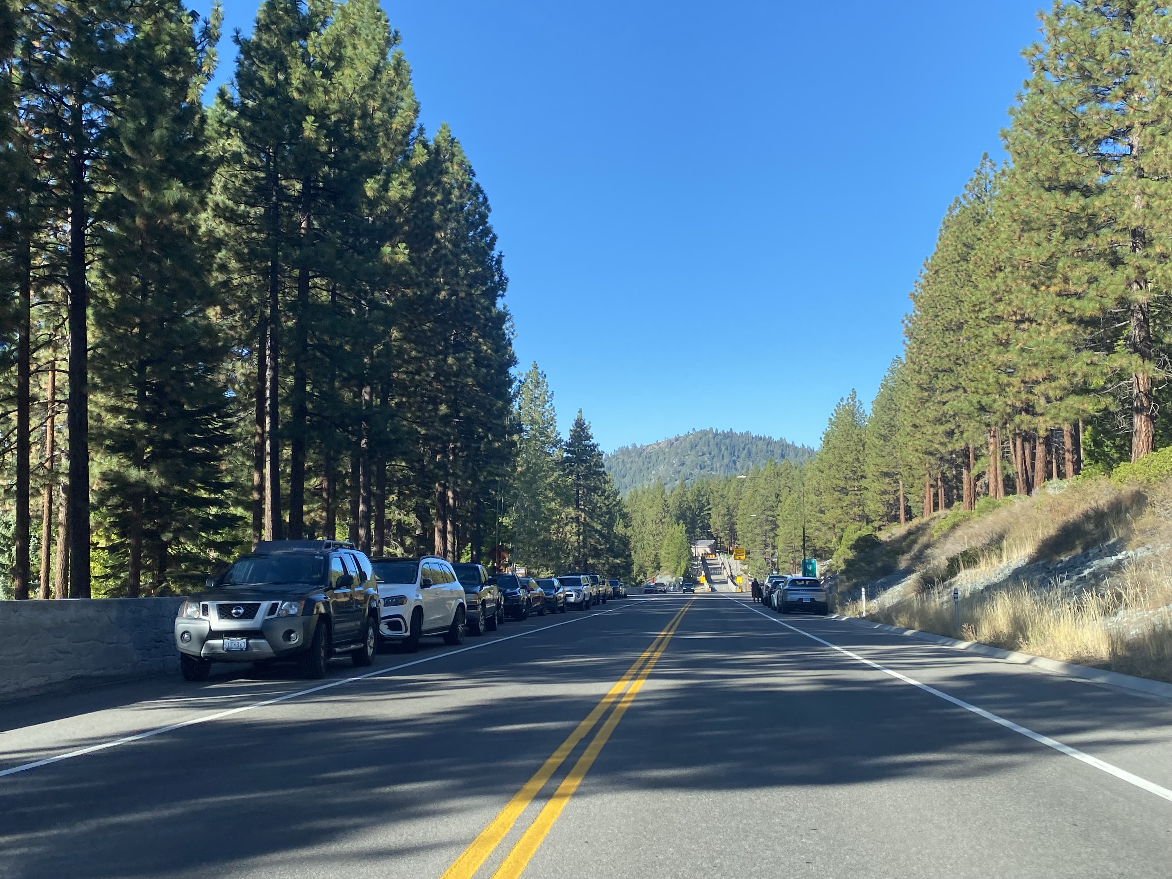
Mount Rose Highway continues to descend and terminates at Nevada State Route 28 in Incline Village.




Comments