
Boston Mill Roads is an approximately ten-mile-long Summit County Highway which passes through Cuyahoga Valley National Park. The roadway (signed as Summit County Route 32) begins at Ohio State Route 21 and extends east via Cuyahoga Valley to Ohio State Route 303. Boston Mills Road is named after the community of Boston Mills which was plotted on the Ohio & Erie Canal in 1827. The roadway offers a scenic descent to the Cuyahoga River and has been present since the formation of Summit County in 1840.

Part 1; the history of Boston Mills and Boston Mills Road
Boston Mills was plotted along the Cuyahoga River following the completion of the Ohio & Erie Canal in 1827. By 1842 two years after Summit County created the community reached a peak population of approximately 300 residents. The name of Summit County refers to it being the place which had the elevation point of the Ohio & Erie Canal. During the community's prime the plot of Boston Mills had a sawmill, a warehouse, a hotel, several stores and dry docks for boat construction.
Boston Mills can be seen in the heart of Summit County along the Cuyahoga River and Ohio & Erie Canal on the 1845 Tanner map of Ohio.

Boston Mills can be seen within Boston Township in Summit County on the 1868 H.H. Lloyd & Company Atlas of Ohio. Boston Mills Road can be seen beginning in Richfield Township and extending east through Boston Township to near Hudson in the namesake Hudson Township.

In 1861 freight traffic on the Ohio & Erie Canal was shuttered which led to an economic decline at Boston Mills. The canal was repurposed to serve to supply water to the industrial communities mostly located along the Cuyahoga River. Boston Mills saw a revival when it became a stop along the Valley Railway which opened as a short line between Cleveland and Zoarville in 1880. The community can be seen along the then new rail line the 1884 Mitchell map of Ohio.

In 1900 the Cleveland-Akron Bag Company would open operations at Boston Mills. The community can be seen below in a 1910 era photo (courtesy Conservancy for Cuyahoga Valley National Park and Peninsula Library & Historical Society). The Cleveland-Akron Bag Company building can be seen on the left along the west bank of the Cuyahoga River whereas the Valley Railway can be seen left-to-right. Boston Mills Road can be crossing the Cuyahoga River via a covered bridge next to company general store (constructed in 1905).

The Ohio & Erie Canal would be abandoned in 1913 after it was severely damaged by floods. The sawmill at Boston Mills was torn down in 1923 which was followed by Cleveland-Akron Bag Company facility being sold in 1928. The community would stagnate after the 1920s but would never fully disappear.
Cuyahoga Valley National Recreation Area was declared in December 1974 which brought Boston Mills into the boundary of a National Park Service managed area. During 1975 an abandoned portion of the Valley Railway would reopen as the Cuyahoga Valley Scenic Railroad which included a stop at Boston Mills.
The Boston Mills Historic District was declared on November 9, 1992, when it was added to the National Register of Historic Places. During October 2000 Cuyahoga Valley National Recreation Area would become a National Park. During October 2019 the Cleveland-Akron Bag Company General Store was reopened as the new National Park Visitor Center.
Part 2; a drive on Boston Mills Road to Boston Mills
Eastbound Boston Mills Road begins via a left-hand turn from southbound Ohio State Route 21 (formerly US Route 21) near Richfield. Boston Mills Road is signed as Summit County Route 32.


Boston Mills Road continues east and has to take a jog on Black Road to cross under Interstate 80. The roadway was bisected during the construction of the Ohio Turnpike.


Boston Mills Road continues east to the boundary of Cuyahoga Valley National Park and Boston Township.


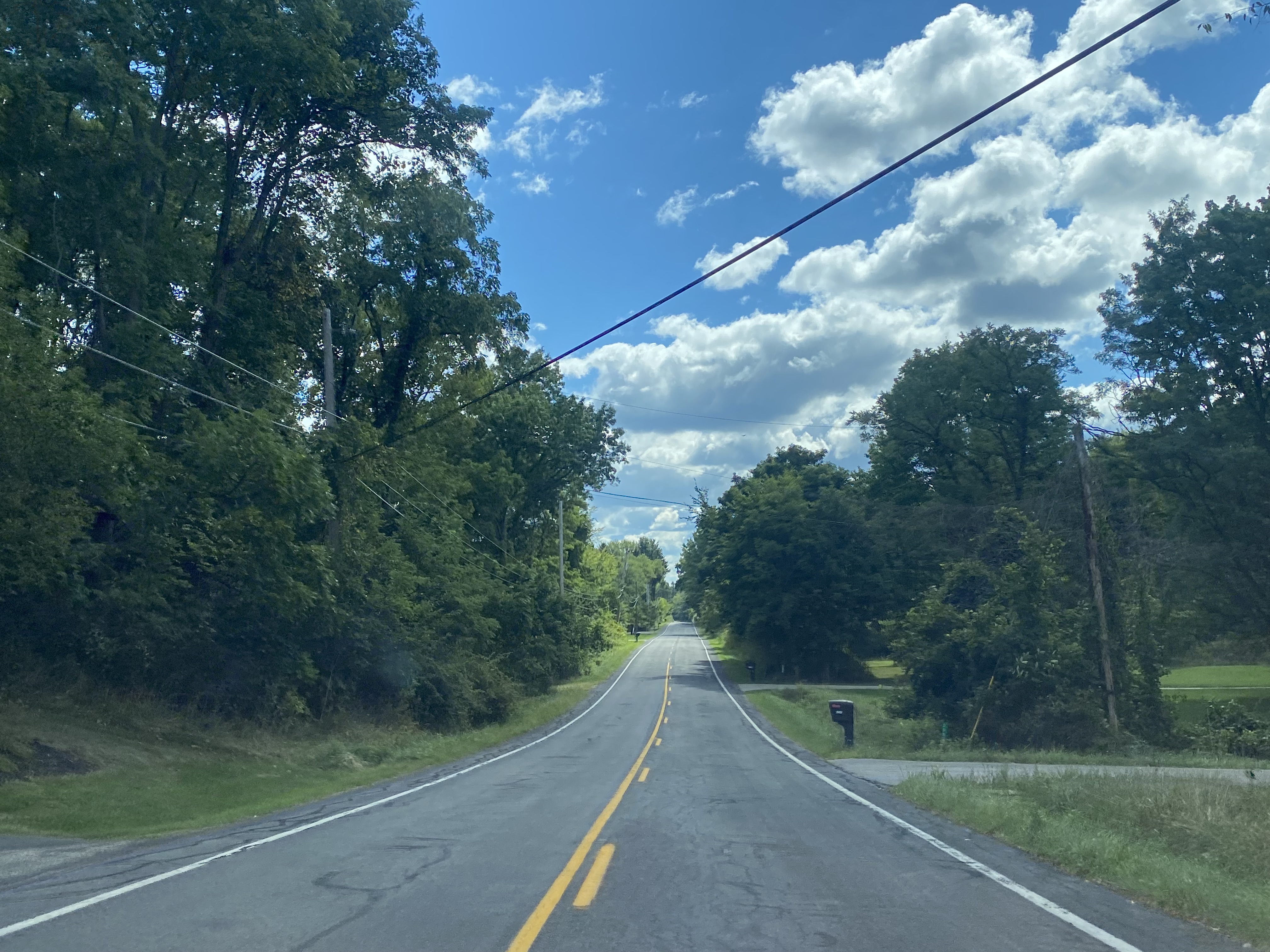

Boston Mills Road descends rapidly to Cuyahoga Valley and reaches Boston Mills at Riverview Road.


The repurposed Cleveland-Akron Bag Company General Store can now be found near the Cuyahoga Valley Scenic Railroad tracks on the west side of the Cuyahoga River.


The general store as it was in 2014 prior to it being restored.

A pedestrian footbridge was constructed in 2019 over the Cuyahoga River. To the south Interstate 271 can be seen looming overhead the community.


The restored M.D. Garage can be found on Boston Mills Road east of the Cuyahoga River.


Boston Mills Road east of M.D. Garage splits from Hines Hill Road. The latter road is used to access Brandywine Falls. Boston Mills Road continues east to Ohio State Route 303 near Hudson and has access to the Ohio State Route 8 freeway.

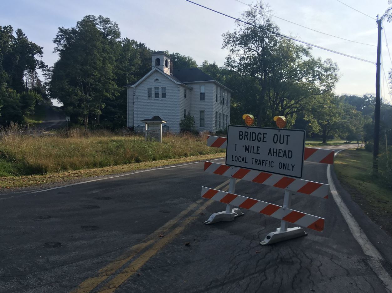
In both 2014 and 2017 the bridge carrying Boston Mills Road over Interstate 80 was out of commission.
Comments