Legislative Route Number 141 was a State Highway and western bypass of the city of Bakersfield which existed before the 1964 California State Highway Renumbering. Legislative Route Number 141 was brought into the State Highway System during 1933 and never was assigned a Sign State Route. At it's fullest extent Legislative Route Number 141 began from US Route 99 at Golden State Avenue and followed Pierce Road, Rosedale Highway, Oak Street and Brundage Lane to US Route 99-399 at Union Avenue. Elements of Legislative Route Number 141 were incorporated into the US Route 99 and California State Route 58 bypasses of downtown Bakersfield. Above as the blog cover Legislative Route Number 141 via the then new Oak Street Overhead can be seen as it was during November 1939.
The history of Legislative Route Number 141
Legislative Route Number 141 (LRN 141) was brought into the State Highway System as part of 1933 Legislative Chapter 767. The original definition of LRN 141 was as follows:
"LRN 4 (US Route 99) via Brundage Lane and Oak Street to LRN 4 near Beardsley School."
The routing of LRN 141 appears to have always been intended to meet the realigned routing of US Route 99 and LRN 4 through downtown Bakersfield.
The June 1934 California Highways & Public Works announced the bypass route of US Route 99/LRN 4 around downtown Bakersfield via Golden State Avenue opened to traffic as of June 2, 1934. The new alignment of US Route 99/LRN 4 on Golden State Avenue split northwest from Union Avenue at 20th Street. US Route 99/LRN 4 on Golden State Avenue crossed through it's former alignment at Chester Avenue via the new 320-foot diameter Garces Traffic Circle (which had been completed in 1933). Chester Avenue north of Golden State Avenue would be incorporated into LRN 142.
The August 1934 California Highways & Public Works announced the initial run of Sign State Routes which did not include LRN 141. LRN 141 would never be assigned a Sign State Route.
The January 1935 California Highways & Public Works announced allocations had been made for construction of three bridges along LRN 141 on Oak Street for the 87th-88th Fiscal Year.
LRN 141 appears in detail as a western bypass loop of US Route 99/LRN 4 in Bakersfield on the 1935 Division of Highways Map. LRN 141 can be seen following Pierce Road, overlapping California State Route 178/LRN 58 briefly on Rosedale Highway, Oak Street and Brundage Lane.
The January 1939 California Highways & Public Works announced an awarded contract to construct a railroad overpass over the ATSF Railroad switch yard on Oak Street.
The May 1939 California Highways & Public Works announced the Oak Street rail overhead along LRN 141 as part of Federal-Aid Rail Grade Programs for 1938-39.
The Oak Street Overhead on LRN 141 was featured in the November 1939 California Highways & Public Works. The completed Oak Street Overhead was accepted by Division of Highways on October 17, 1939, as a completed contract. The Oak Street Overhead crossed the Bakersfield ATSF switching yard which saw an average of 250 switching movements per day. The Oak Street Overhead is noted to be 1,607 feet in length with a 26-foot-wide roadway which was designed for future widening.


The
September/November 1959 California Highways & Public Works notes right-of-way for a relocated US Route 99 freeway through Bakersfield was in the process of being obtained. The article stub is posted next to a map showing the planned routing of the US Route 99 and US Route 466 freeways in Bakersfield. Both the planned US Route 99 and US Route 466 freeways are shown to bypass downtown Bakersfield via the general corridor of LRN 141.
The planned Bakersfield Bypass route of US Route 99 appears in full detail on the
1961 Division of Highways Map. The Bakersfield Bypass appears as part of a planned realignment of LRN 4 as opposed to LRN 141.
The US Route 466 freeway appears as part of a planned realignment of LRN 58 south of Brundage Lane as opposed to LRN 141 on the
1962 Division of Highways Map.

The
November/December 1962 California Highways & Public Works announced 13.1 miles of the US 99 Bakersfield Bypass was opened to southbound traffic in August 1962. The northbound lanes of the Bakersfield Bypass were cited to be ready for traffic upon the completion of the final 5.3-mile segment which was scheduled for October 1963.


The
September/October 1963 California Highways & Public Works discusses US Route 99/LRN 4 moving to the completed West Bakersfield Freeway. The completed West Bakersfield Freeway is cited to have had an opening ceremony held on July 23, 1963. The West Bakersfield Freeway is stated to have originated 13 miles south of Bakersfield and extended northward 18.5 miles over a new alignment which bypassed Union Avenue and Golden State Avenue. The West Bakersfield Freeway saw the relinquishment of Union Avenue south of Brundage Lane/LRN 141 which truncated US Route 399 out of Bakersfield to US Route 99 at Pumpkin Center on Taft Highway. US Route 466 was left as the standalone mainline route on Golden State Avenue. The US Route 99 Business Route followed the former alignment of US Route 99 on Union Avenue and multiplexed US Route 466 on Golden State Avenue.


1963 Legislative Route Chapter 1698 changed the routing of LRN 141 to "LRN 4 via Brundage Lane, Union Avenue and Golden State Avenue to LRN 4 near Bakersfield." Legislative Chapter 1698 was preempted by 1963 Legislative Chapter 385 which made Brundage Lane from US Route 99 east to Union Avenue part of California State Route 204 as part of the greater 1964 State Highway Renumbering. Brundage Lane appears as a component of California State Route 204 on the
1964 Division of Highways Map.


Brundage Lane was deleted from the definition of California State Route 204 upon the completion of the California State Route 58 freeway in Bakersfield via 1978 Legislative Chapter 287. The origin of California State Route 204 was truncated to California State Route 204 at Union Avenue.
Part 2; a drive on former Legislative Route Number 141
From modern California State Route 204 (former US Route 99) southbound on Golden State Avenue traffic can access former LRN 141 exiting onto Buck Owens Boulevard (formerly Pierce Road).
Former LRN 141 followed Buck Owns Boulevard south to 24th Street/Rosedale Highway where it turned left onto a what was California State Route 178/Legislative Route Number 58. During 2006 the surface alignment of California State Route 178 was relinquished in Bakersfield and the highway was truncated to California State Route 204.
LRN 141 followed 24th Street/former California State Route 178 east over the Kern River and departed via right-hand turn onto southbound Oak Street.
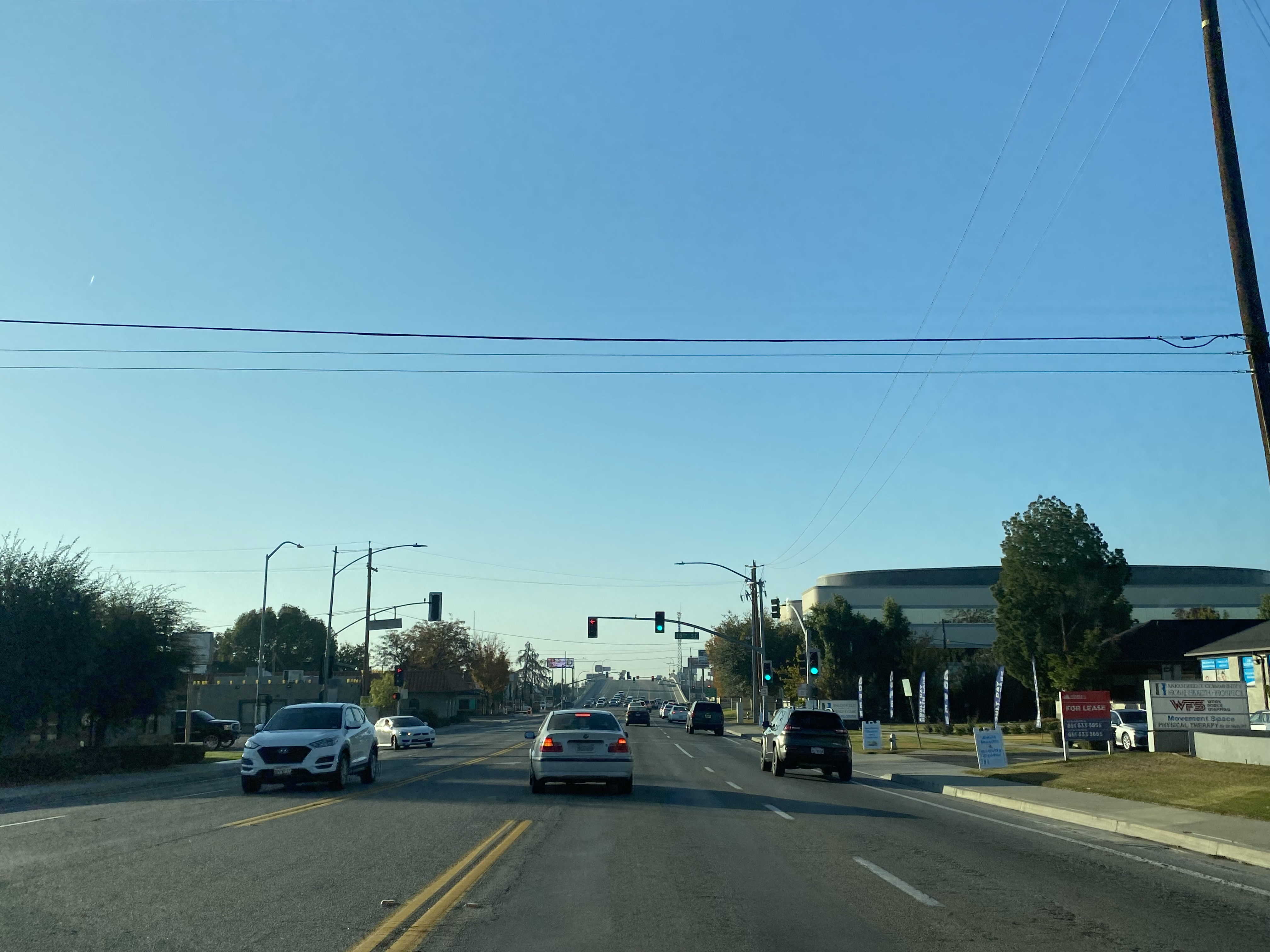
LRN 141 followed southbound Oak Street over the Oak Street Overpass to Brundage Lane where the highway made a left-hand turn eastward.
LRN 141 followed Brundage Lane east to a terminus at California State Route 204 (formerly US Route 99-399) at Union Avenue.




Comments