Depicted as the blog cover is a westward view along the descent on Old Priest Grade Road of Tuolumne County, California. Below Old Priest Grade Road one can observe California State Route 120 across Grizzly Gulch on New Priest Grade Road. Old Priest Grade Road is often claimed to have a maximum gradient of 17-20% and is one of the steepest roadways in the western Sierra Nevada Mountains.
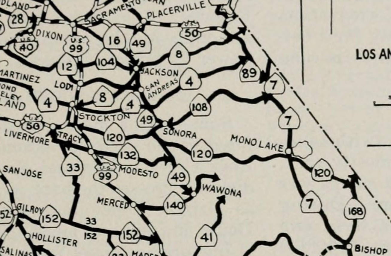
What is new Old Priest Grade Road opened in 1859 as an alternate to Wards Ferry Road between Sonora and the Big Oak Flat-Groveland area. New Priest Grade Road was completed in 1913 as a replacement for what is now Old Priest Grade Road. New Priest Grade Road features a sustained gradient slightly exceeding 5% but is two and a half times longer than Old Priest Grade Road. New Priest Grade Road was added to the State Highway System by way of 1915 Legislative Chapters 396 and became part of California State Route 120 during August 1934. Below California State Route 120/New Priest Grade Road and Old Priest Grade Road can be seen on the
1935 Division of Highways Map of Tuolumne County.
Part 1; the history of Old Priest Grade Road and New Priest Grade Road
The Big Oak Flat-Groveland area is tied to the beginnings of the California Gold Rush in the Sierra Nevada Mountains. In 1848 James Savage staked out gold claims in what which came be known as Savage's Diggings. Savage's Diggings was located near an Oak Tree which was used as a landmark which led to the community to assume the name Big Oak Flat. Garrote was founded near Big Oak Flat and the claims of James Savage. Following the emergence of tourism traffic to Yosemite upon the completion of Big Oak Flat Road in 1874 the community's name of Garrote would be changed to Groveland.
Early access to Big Oak Flat and Garotte was initially difficult as only a haggard foot trail on the southern flank of Grizzly Gulch existed in the early California Gold Rush. Travelers ascending the Grizzly Gulch Trail would pass by what ultimately become Priest Station which had been established in 1849 as a mining supply store. A ferry crossing across the Tuolumne River across what is now known as Murderer's Gulch was developed by Joseph Ward during 1850.
Wards Ferry included a new highway which provided direct access between Sonora and the Big Oak Flat-Groveland area.
In 1853 the Grizzly Gulch Trail was declared a public highway by Tuolumne County. By 1859 a new highway was completed along the southern flank of Grizzly Gulch as a franchise toll road. This highway at the time was known as the Grizzly Gulch Wagon Road and provided direct access from Jacksonville to the Big Oak Flat-Groveland area. The Grizzly Gulch Wagon Road proved not to be as popular as Wards Ferry from Sonora due to the high gradients and longer distance traveled. In time the Grizzly Gulch Wagon Road would come to be known as the Priest Grade (alternatively Priest Hill). Priest Grade Road can be seen linking Jacksonville to Big Oak Flat on the
1882 Bancroft's Map of California & Nevada.

According to yosemitechamber.org by the emergence of the 20th Century it could take
wagon trains two days to travel from Chinese Camp to reach Big Oak Flat. The slow pace of travel was largely dictated by the heavy climb on the Priest Grade which made it difficult for large loads to ascend. By 1901 some early steam cars were able to ascend the Priest Grade but it proved to be nearly impossible for early gasoline powered cars. In 1912 the communities of Big Oak Flat and Groveland hired a surveyor to locate a new grade along the northern flank of Grizzly Gulch as replacement for the Priest Grade. Construction of a seven-foot-wide roadway along northern Grizzly Gulch began in 1912 via local donations. The original Priest Grade Road can be seen between Jacksonville and Big Oak Flat on the
1912 United States Geological Map of the Sonora area.

By 1913 the New Priest Grade Road was completed. Both New Priest Grade Road was purchased by Tuolumne County as a public roadway. New Priest Grade Road permitted easier travel to the Big Oak Flat-Groveland area for automobiles. The State of California added the New Priest Grade Road as part of
Legislative Route Number 40 (LRN 40) via 1915 Legislative Chapter 396. Specifically, the New Priest Grade Road and the Big Oak Flat Road were brought into the State Highway System as:
"that certain toll road in Tuolumne and Mariposa counties known as the Big Oak Flat and Yosemite Toll Road beginning at a point near the former location of Jack Bell Sawmill in Tuolumne Cty and extending thence in an E-ly direction through a portion of Mariposa Cty at Hamilton Station, thence again into Tuolumne Cty, past Hearden Ranch, Crocker Station, Crane Flat, and Gin Flat to the boundary line of the original Yosemite Grant near Cascade Creek."


The
April 1927 California Highways & Public Works discusses the modernization of New Priest Grade Road to State Highway standards and the history of the corridor. The article stub notes during the construction of the Grizzly Gulch Wagon Road during 1859 laborers were paid $1 a day. The article stub notes a surveyor living at Priest Station was hired in 1912 by locals to locate a replacement to the original Priest Grade. The article stub notes Old Priest Grade Road was in heavy use until 1913 when the New Priest Grade Road was completed. Early gasoline powered cars using Old Priest Grade Road are stated to have often resorted to driving uphill backwards due to the gravity feed systems common of the time. Tuolumne County is noted to have widened New Priest Grade Road to twelve feet by the time (1914 according to monument on New Priest Grade posted in the Union Democrat article posted
here) it was added to the State Highway System on May 19, 1915. The State is described in the article stub as having widened New Priest Grade Road to between fourteen-sixteen feet by 1924. Via cooperative effort with the City of San Francisco's Hetch Hetchy Water Service Department the New Priest Grade Road was further widened to permit ease of two-way traffic beginning during December 1926 through to March 1927.


The initial Sign State Routes were announced in the
August 1934 California Highways & Public Works. California State Route 120 was announced as being aligned from US Route 99 in Manteca to California State Route 168 near Benton. California State Route 120 followed New Priest Grade Road, Big Oak Flat Road and Tioga Pass Road through Yosemite National Park over the Sierra Nevada Mountains. Outside of Yosemite National Park the crossing of the Sierra Nevada Mountains taken by California State Route 120 comprised of components of LRN 40.


During 1935 the Division of Highways submitted a proposal to extend US Route 6 into California. A June 1935 sketch map from the Division of Highways shows US Route 6 with two proposed alignments in California, one included utilizing New Priest Grade Road. The first alignment displays US Route 6 entering California via California State Route 168 near Benton. US Route 6 is shown terminating to the south at Long Beach by way of Owens Valley and Los Angeles. The Benton-Long Beach proposed alignment of US Route 6 was a violation of it's even numbering which was intended to denote a US Route with a cardinal east/west orientation.
A second proposal displayed US Route 6 following the entirety of California State Route 120 over the Sierra Nevada Mountains which included Tioga Pass Road, much of the Big Oak Flat Road and New Priest Grade Road. The proposed alignment of US Route 6 to San Francisco via Tioga Pass would have maintained its east/west orientation. The Tioga Pass-San Francisco alignment of US Route 6 is shown entering California via California State Route 168 to Benton, all of California State Route 120 west to US Route 50, US Route 50 over Altamont Pass to Hayward, LRN 105 from Hayward to the original 1929 San Mateo-Hayward Bridge, west over San Francisco Bay via the 1929 San Mateo-Hayward Bridge and north via multiplex of US Route 101 into downtown San Francisco.

The American Association of State Highway Transportation Officials Database does not provide an explanation as to why US Route 6 to San Francisco via Tioga Pass and New Priest Grade Road was passed over in favor of the proposed extension to Long Beach. A likely explanation would the then primitive nature of California State Route 120 west of Benton coupled that of the Tioga Pass Road. The proposal to extend US Route 6 to Long Beach appears on the 1936 American Association of State Highway Officials list of recommended additions to the US Route System. US Route 6 was approved to be extended to Long Beach on February 8, 1937, by the American Association of State Highway Officials Executive Committee. New Priest Grade Road would never again be part of a proposed US Route.
A
The
March 1939 California Highways & Public Works features California State Route 120/LRN 40 crossing under the Hetch Hetchy Railroad entering Big Oak Flat near the top of the Priest Grades. Following the completed heightening of O'Shaughnessy Dam at Hetch Hetchy in 1938 the Hetch Hetchy Railroad went defunct. The remains of the Hetch Hetchy Railroad grade were not fully removed until 1949.
The
November/December 1951 California Highways & Public Works announced California State Route 120/LRN 40 was to be graded and re-surfaced between Stevens Bar-Groveland for the 1952-53 Fiscal Year. The Stevens Bar-Groveland project is stated to include a new bridge over Moccasin Creek.
The
May/June 1954 California Highways & Public Works featured the completed upgrades to California State Route 120/LRN 40 on New Priest Grade Road between Moccasin Creek Road and Priest Station. The improvement to New Priest Grade Road is stated to have been completed by August 1953 which included a fully paved road surface which had been widened to twenty-eight feet. A summer bridge project at Moccasin Creek is stated to be planned as replacement for the existing span.


The
November/December 1962 California Highways & Public Works announced a public hearing was held May 18, 1962, in Sonora to discuss the relocation of California State Route 120/LRN 40 from Yosemite Junction to Groveland due to the proposed expansion of the Don Pedro Reservoir. The proposed realignment of California State Route 120 also would include portions of California State Route 49 through the Chinese Camp and Jacksonville area. The notice does not describe in detail the proposed realignment of California State Route 120 around the Priest Grades.
The
July/August 1963 California Highways & Public Works announced that an adopted realignment corridor of California State Route 120 and California State Route 49 between Yosemite Junction-Moccasin had been selected in anticipation of the Don Pedro Reservoir being expanded.
As part of the 1964 State Highway Renumbering the Legislative Route Numbers were dropped in favor of field signage. This measure thusly made California State Route 120 the only highway designation over New Priest Grade Road.
The
May/June 1964 California Highways & Public Works announced a freeway alignment of California State Route 120 from the top of the Priest Grades eastward bypassing Big Oak Flat and Groveland had been selected during the May/June California Highway Commission meetings. The project zone map depicts a freeway replacement of New Priest Grade Road as already having a previously adopted (likely in 1962). The planned Priest Grade Freeway appears to dip south from Priest Station unlike the two existing Priest Grades.
The
1967 Division of Highways Map is first map to fully display the planned realignment of California State Route 120 around the Priest Grades. California State Route 120 and California State Route 49 are shown to have a planned realignment between Chinese Camp to Moccasin which would be above the waters of the planned expansion of the Don Pedro Reservoir.

Construction on the expansion of Don Pedro Dam began in August 1967 and was formally dedicated upon completion during May 1971. California State Route 120 and California State Route 49 were realigned in the Chinese Camp-Moccasin corridor to a new two-lane expressway. Ultimately the California State Route 120 freeway bypasses of the Priest Grades, Big Oak Flat and Groveland were never constructed. This was likely caused by the National Environmental Policy Act of 1969 which had been enacted by 1970. The National Environmental Policy Act would have required any post-1970 construction project to go through the process of Environmental Impact Study. The process of Environmental Study would likely have made the realignment of California State Route 120 prime for challenge via lawsuit. Despite the obstructions the planned realignment of California State Route 120 around the Priest Grades, Big Oak Flat and Groveland all still appear with a determined routings on the
1975 Caltrans Map.

The realignment of California State Route 120 and California State Route 49 tied the former more directly with the bottom of the Priest Grades. The older alignment of California State Route 120 previously had joined New Priest Grade Road via what is now Grizzly Road.
The realignment of California State Route 120 around the Priest Grades disappears from State Highway Maps beginning with the
1982 Caltrans Map.
The planned bypasses of Big Oak Flat and Groveland still appear on Caltrans maps until the
1990 edition. It is unclear if the California State Route 120 freeway bypasses of the Priest Grades, Big Oak Flat and Groveland were ever formally cancelled.
Approaching modern times there was increasing concerns over the viability of maintaining Old Priest Grade Road as a public roadway. In an article dated
August 31, 2002, it was reported the Tuolumne County Board of Supervisors elected to install modern striping and signage on Old Priest Grade Road. The Tuolumne County Board of Supervisors had considered restricting Old Priest Grade Road to eastbound-only traffic or closing it completely. Old Priest Grade Road is stated to have a daily traffic count of 2,500 vehicles compared to 2,000 on New Priest Grade Road. The article notes there was thirty-four reported accidents on Old Priest Grade Road between April 1996 and March 2001.
Part 2; a drive on California State Route 120 on New Priest Grade Road
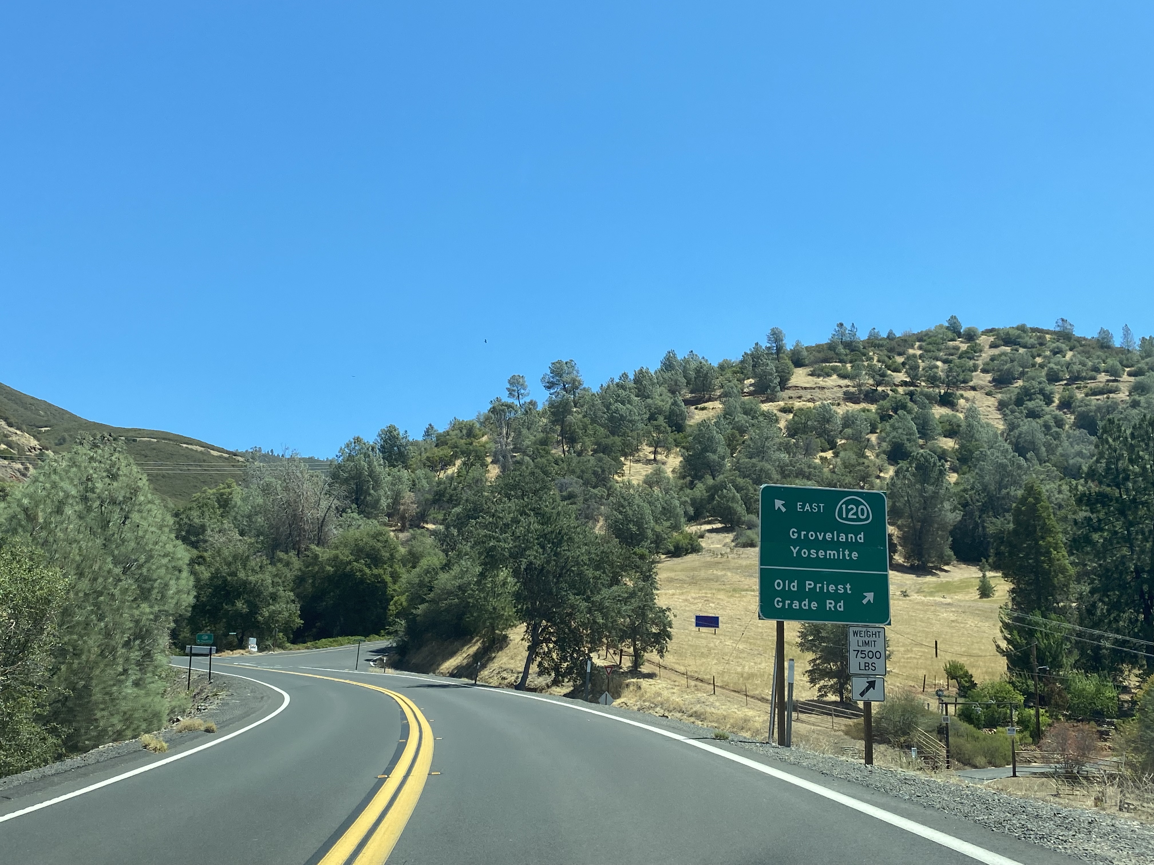
Modern California State Route 120 approaches New Priest Grade Road east of the split with the California State Route 49 near Moccasin.
Upon joining New Priest Grade Road, California State Route 120 eastbound traffic is given a 30-feet length advisory and Big Oak Flat is signed as being 6 miles away.
At Postmile TUO R24.09 California State Route 120 eastbound on New Priest Grade Road crosses the Moccasin Creek Bridge. Traffic is advised the entrance to Yosemite National Park is 32 miles to the east. The "R" Postmile denotes the Moccasin Creek Bridge is the first post-1964 realignment of California State Route 120. The Moccasin Creek Bridge has stampings indicating it was completed during 1971.
California State Route 120 eastbound traffic on New Priest Grade Road is advised vehicles over 7,500lbs, buses, motorhomes, trucks and trailers are prohibited on Old Priest Grade Road. Traffic on California State Route 120 is advised to shut off air conditioning for the 5-mile climb on New Priest Grade Road.
California State Route 120 eastbound on New Priest Grade Road switches to Temporary Postmiles at TUO T24.467 which denoted by the "T" suffix. The T suffix Postmiles are an artifact of the planned freeway realignment of California State Route 120 around the Priest Grades.
California State Route 120 eastbound on New Priest Grade Road passes the turnoff for Moccasin at Postmile TUO T24.53. Moccasin is located at 935 feet above sea level.
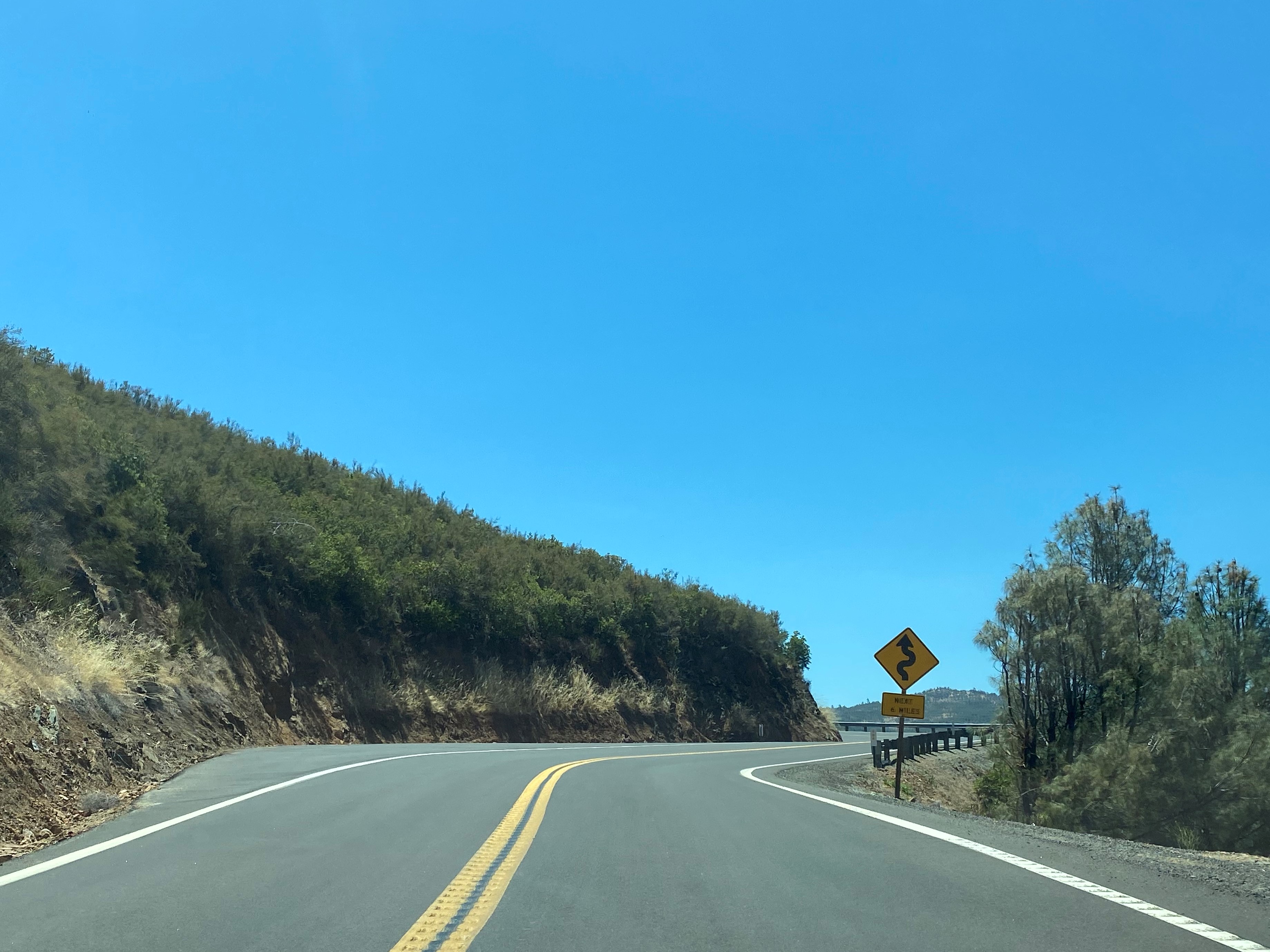
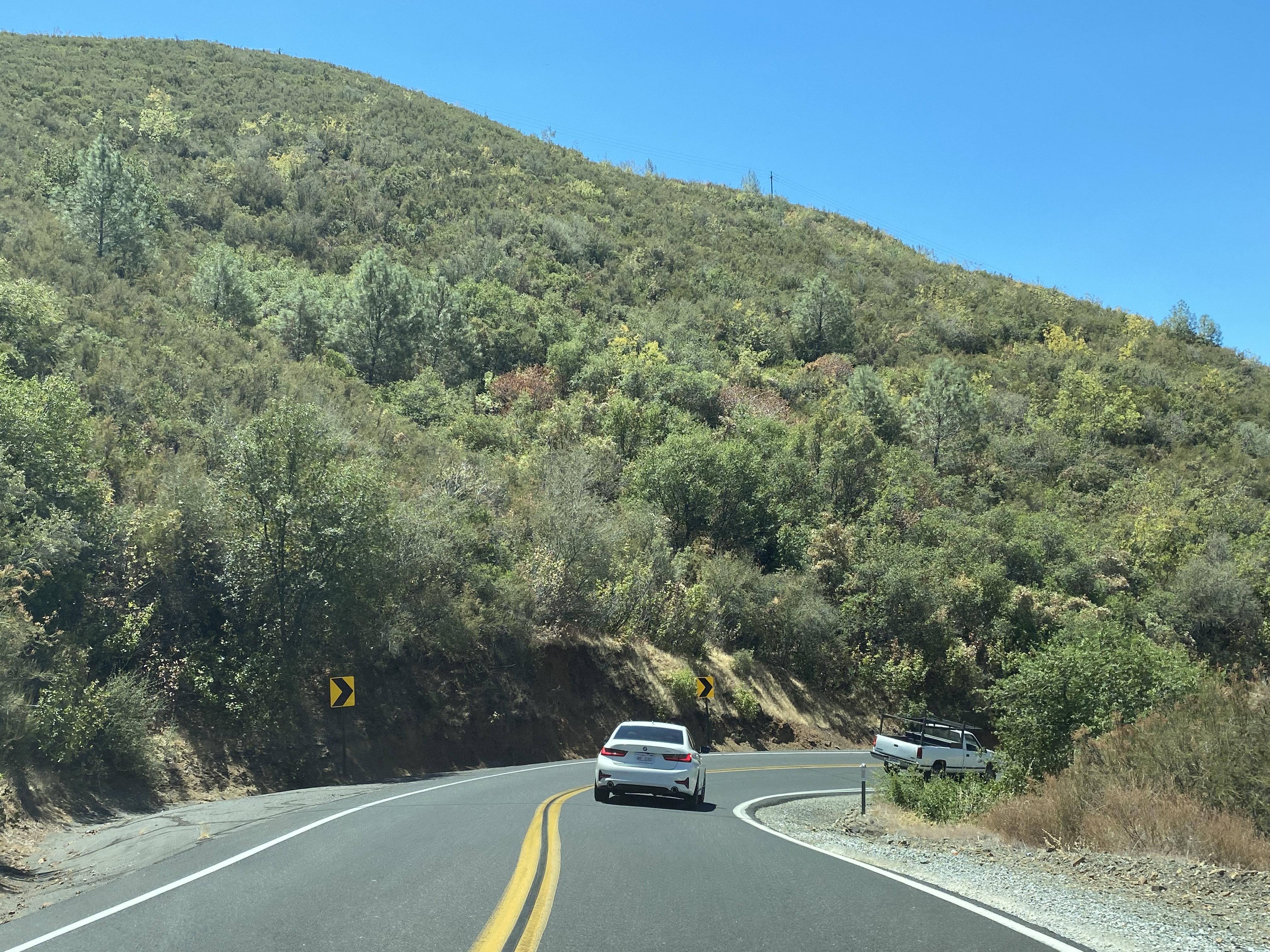
California State Route 120 eastbound on New Priest Grade Road intersects Old Priest Grade Road at Postmile TUO T24.64. The copious amounts of California State Route 120 signage is intended to keep traffic on New Priest Grade Road.
California State Route 120 eastbound climbs New Priest Grade Road to the original alignment of the highway at Grizzly Road. The T suffix Postmiles on California State Route 120 cease at Grizzly Road at TUO T25.44.
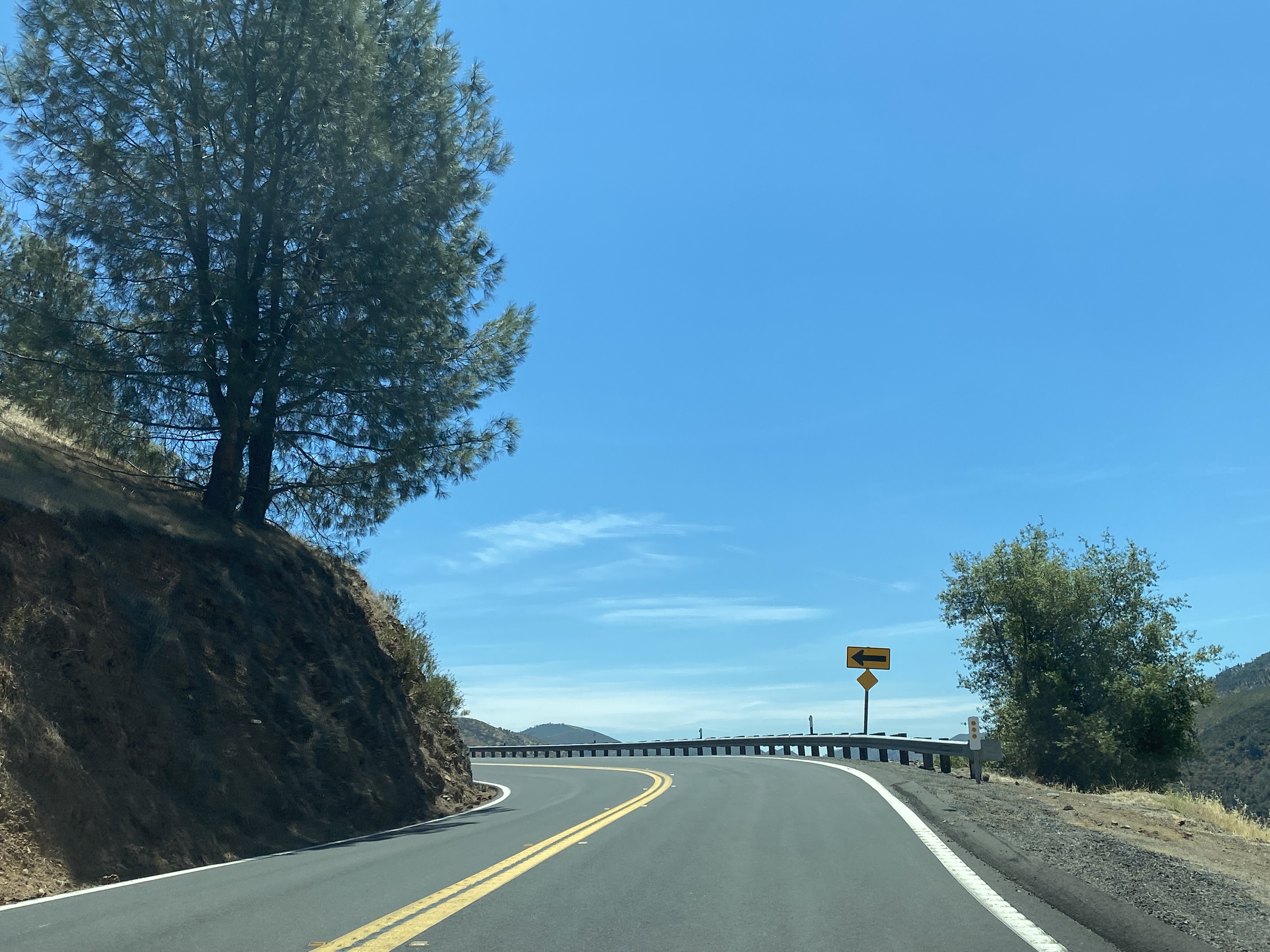
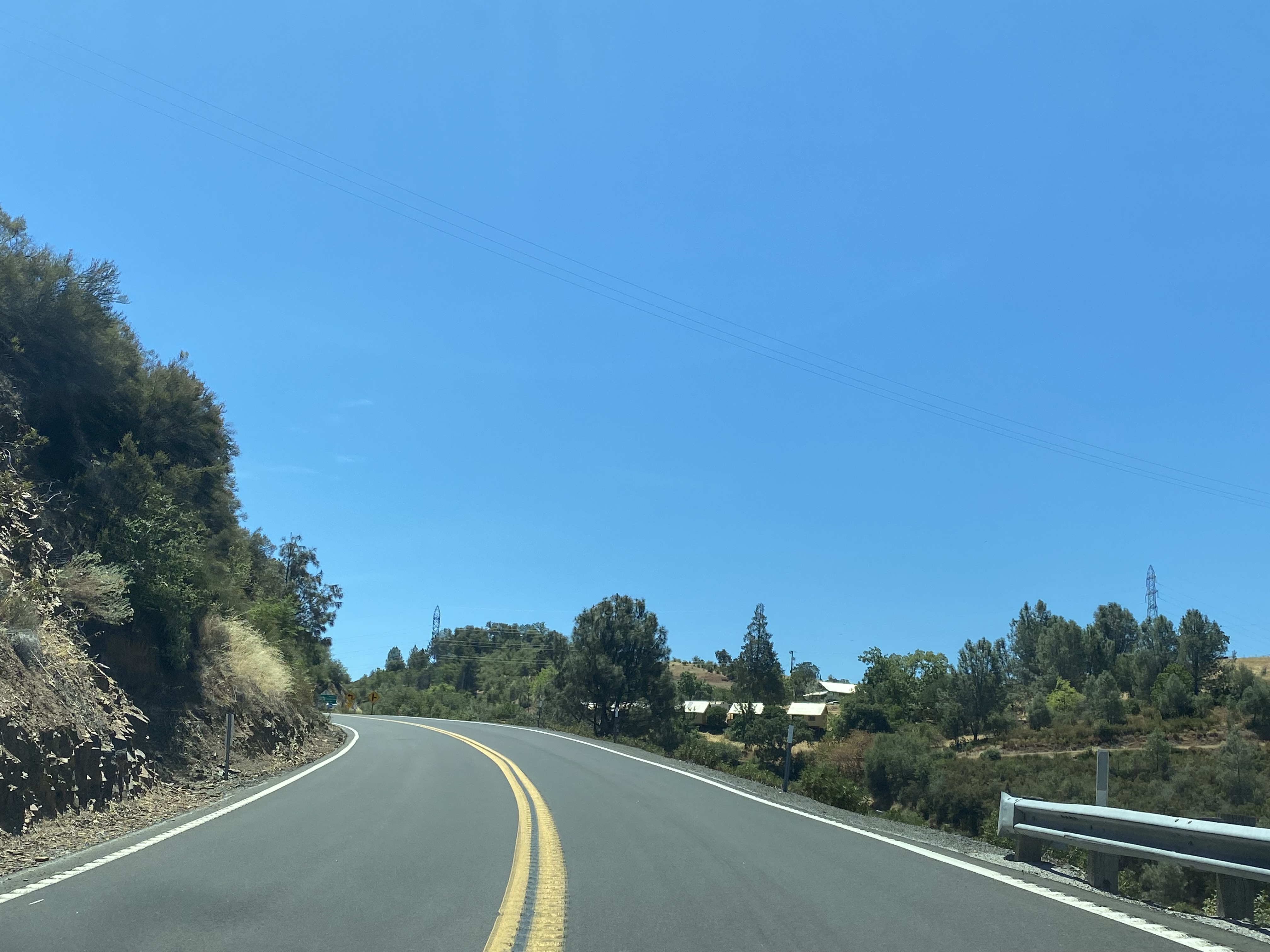
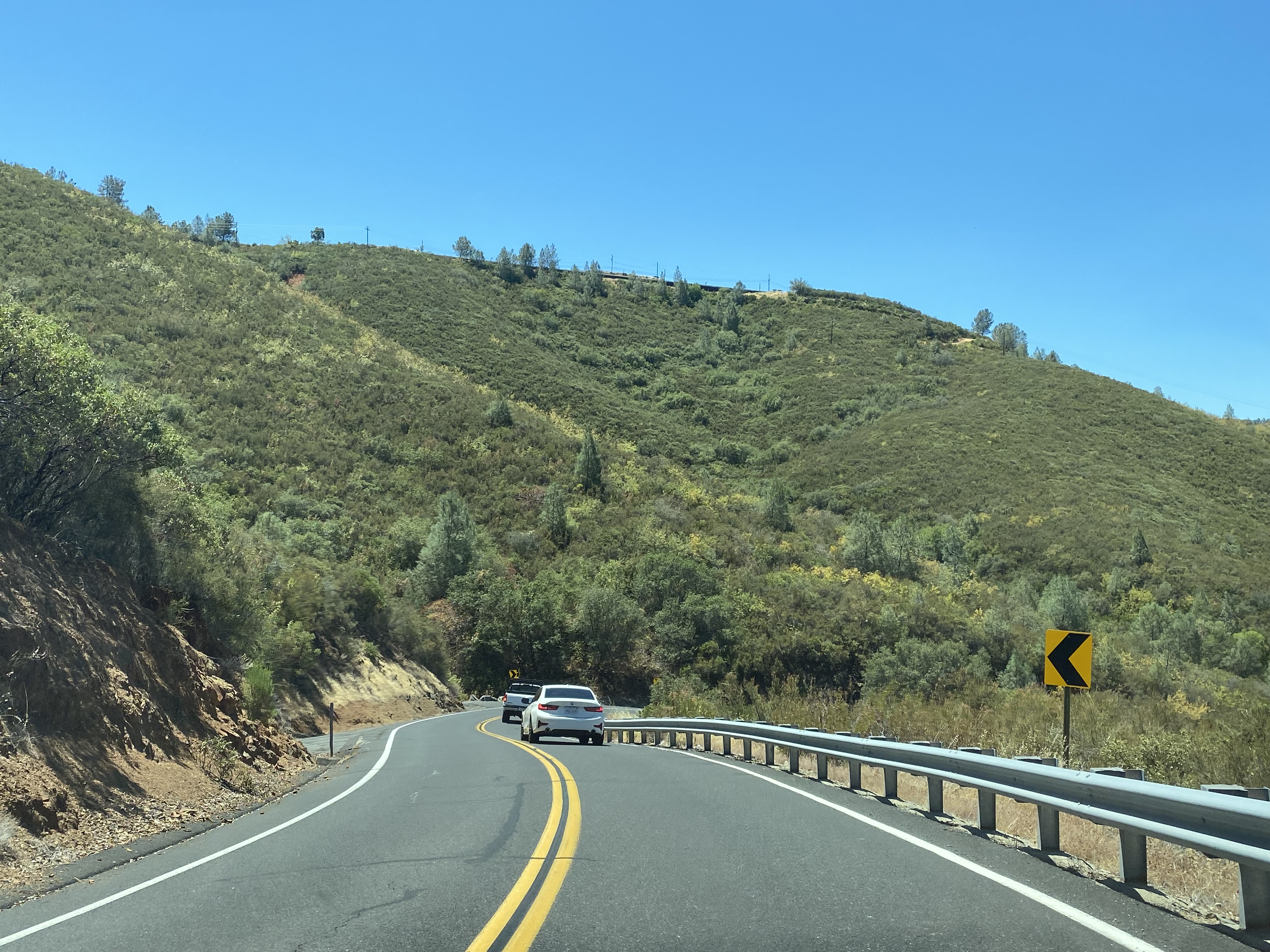
California State Route 120 eastbound continues to ascend through the curves of New Priest Grade Road. A vista of Moccasin can be found on several of the shoulders of New Priest Grade Road. Moccasin is a company town owned by the city of San Francisco and is the location of the Moccasin Powerhouse. The Moccasin Powerhouse was completed by August 1925 as part of hydroelectric projects stemming from
Hetch Hetchy Valley in Yosemite National Park.
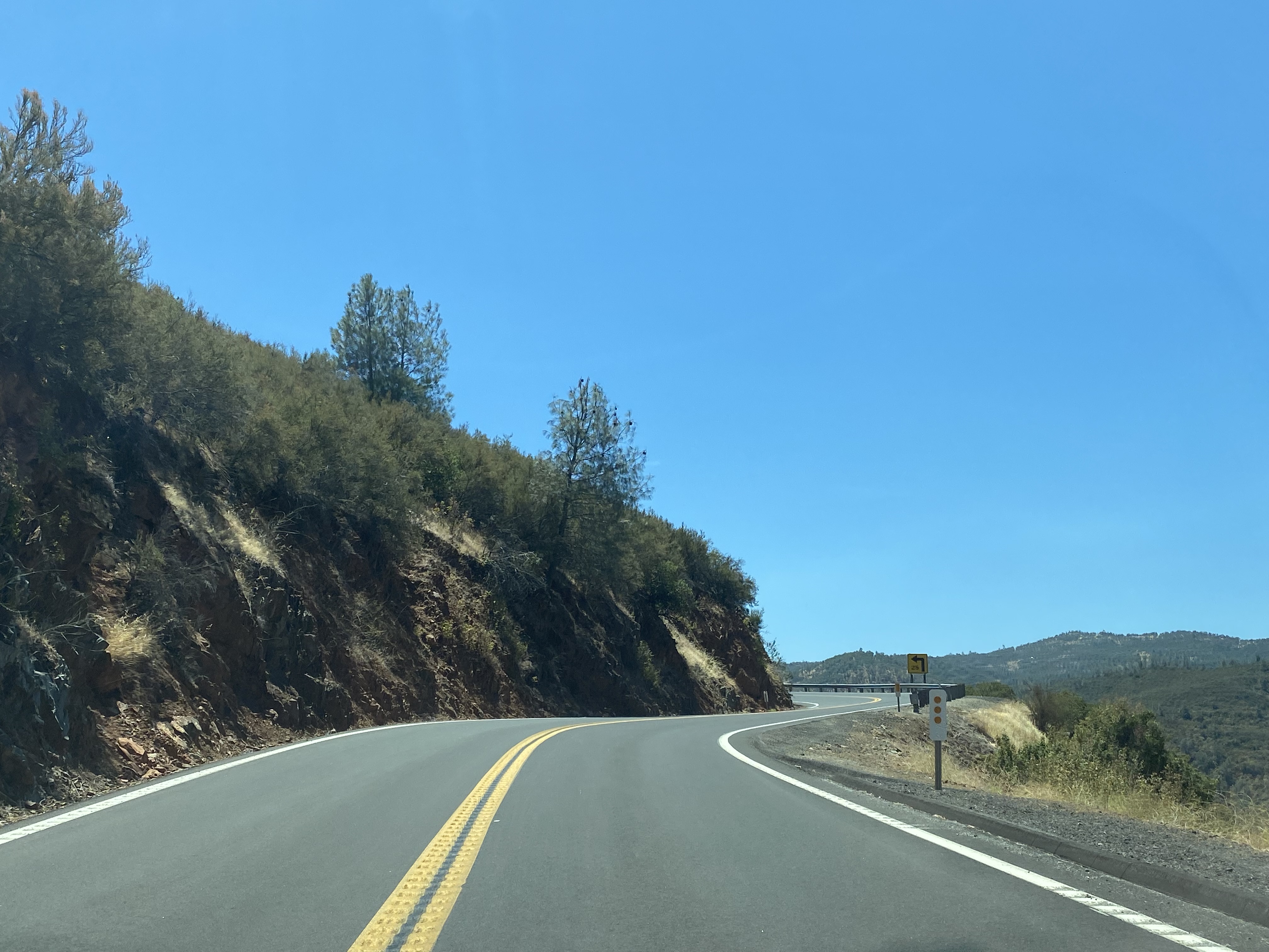
California State Route 120 eastbound continues to climb New Priest Grade Road and ascends over 2,000 feet above sea level.
As California State Route 120 eastbound nears the top of New Priest Grade Road a vista overlooking Grizzly Gulch can be found on a shoulder. From the vista both New Priest Grade Road and Old Priest Grade Road can be seen climbing Grizzly Gulch.
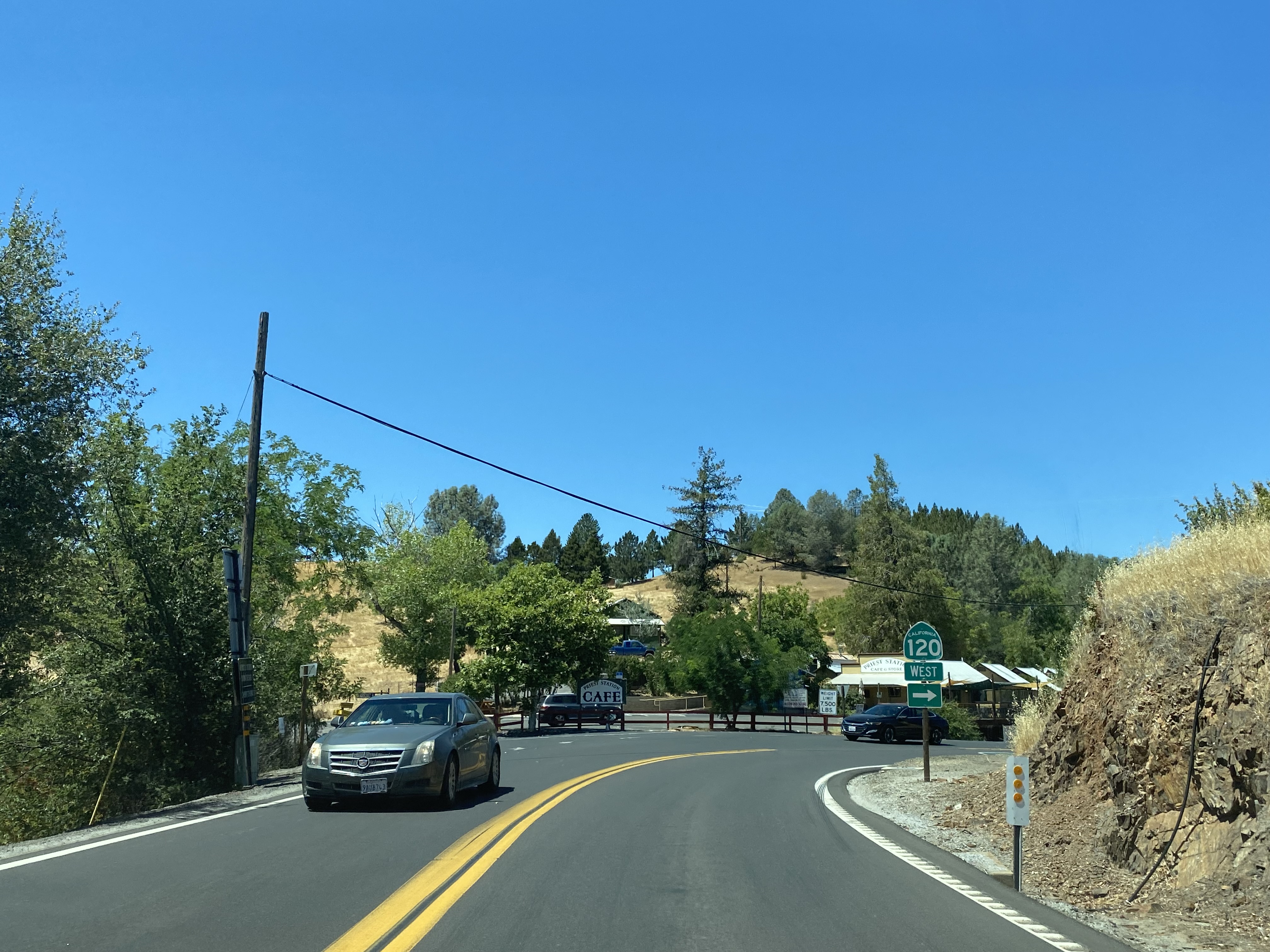
At Postmile TUO 29.24 California State Route 120 eastbound summits New Priest Grade Road and intersects Old Priest Grade Road at Priest Station. Priest-Coulterville Road can also be accessed at Priest Station.
Priest Station lies about 1,600 feet higher than Moccasin at approximately 2,530 feet above sea level. As noted in Part 1 what is now Priest Station was established in 1849 as a mining supply store. In 1853 said mining store was sold to Margaret and Alexander Kirkwood. Alexander Kirkwood would die several years later, and Margaret would marry the first Yosemite National Park Commissioner W.M. Priest. The Priests would build at stage station and a hotel at their property which became popular with travelers to Yosemite National Park. The Priest Hotel would burn during 1926 as New Priest Grade Road was being modernized to State Highway standards. The current Priest Station Cafe opened during August 2009.
Part 3; a drive on Old Priest Grade Road
As westbound California State Route 120 departs Big Oak Flat traffic can observe San Joaquin Valley approaching Priest Station.
As California State Route 120 westbound approaches Priest Station traffic is given the same warnings about Old Priest Grade Road noted in Part 2.
From Priest Station traffic can divert onto Old Priest Grade Road from California State Route 120 westbound. Signage is placed specifically to discourage the causal traveler from diverting from New Priest Grade Road.
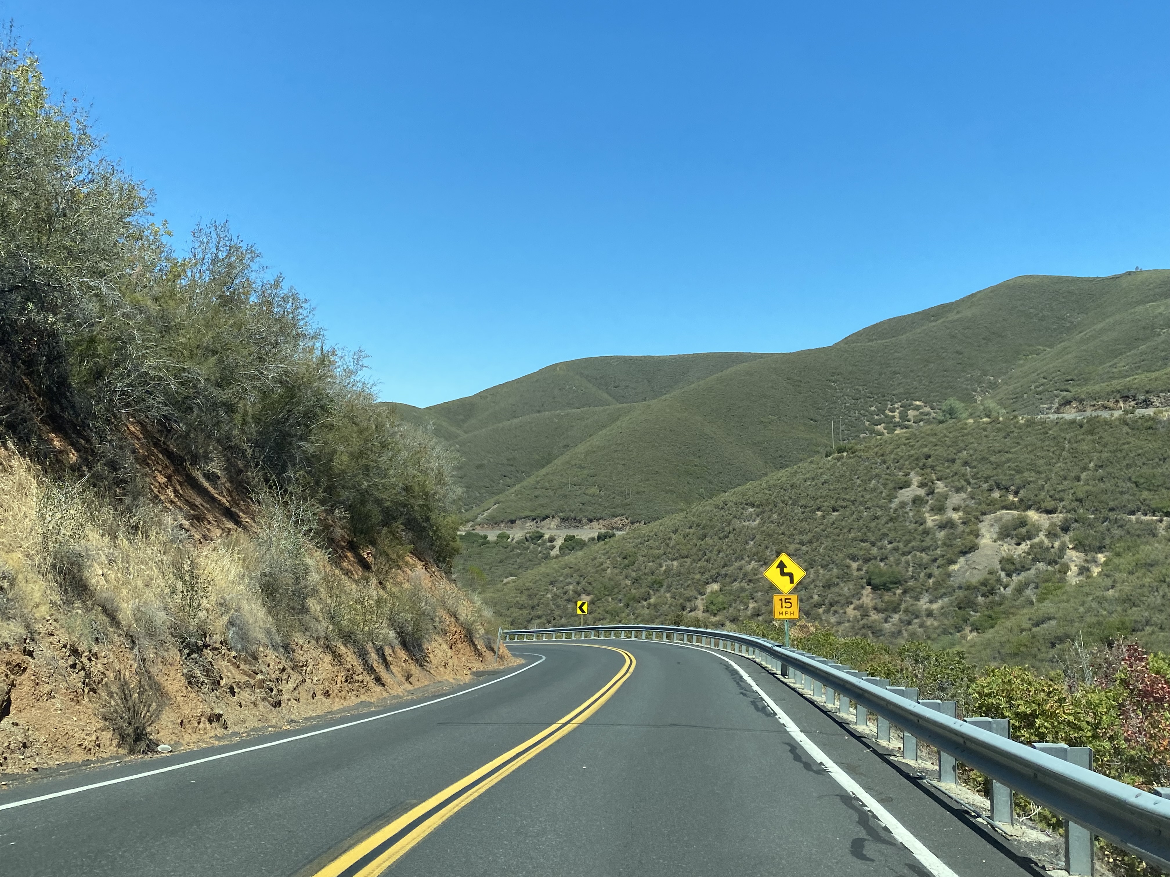
Traffic on Old Priest Grade Road westbound is advised to use low gears. Old Priest Grade Road is signed with a 25 mile per hour speed limit. The gradient of Old Priest Grade Road is not listed but is generally accepted to range between 17% to 20%.
Old Priest Grade Road westbound has a commanding view of Grizzly Gulch. The best views of New Priest Grade Road can be found approximately halfway through the descent on Old Priest Grade Road.
Old Priest Grade Road has several curves on the bottom half of the descent to California State Route 120. Old Priest Grade Road ends after a sharp curve at California State Route 120 and New Priest Grade Road near Moccasin.


Comments