
Livingston is a city located in Merced County, California which was on the alignment of what was US Route 99. When the US Route System was created during November 1926, US Route 99 was aligned through Livingston via what is now Court Street. US Route 99 moved to Campbell Boulevard when the Livingston Underpass was opened to traffic during February 1939. US Route 99 would be decommissioned in California by June 1965 and the highway on Campbell Boulevard would become part of California State Route 99. Campbell Boulevard in Livingston was the location of the last traffic light on California State Route 99 between Wheeler Ridge and Sacramento. Campbell Boulevard was bypassed by the current California State Route 99 freeway which opened during December 1996. Pictured above is US Route 99 passing through the Livingston Underpass as featured in the March 1939 California Highways & Public Works. Below US Route 99 can be seen passing through Livingston on Court Street on the 1935 Division of Highways Map of Merced County.

This blog is part of the larger Gribblenation US Route 99 Page. For more information pertaining to the other various segments of US Route 99 and it's three-digit child routes check out the link the below.
The history of US Route 99 and California State Route 99 in Livingston
What is now Livingston was settled in 1862 by David Baldwin Chester. During the construction of the Southern Pacific Railroad within San Joaquin Valley the property of Chester would supply workers building the line. Livingston was plotted as a siding of the Southern Pacific Railroad in 1873 off the lands of William Little. Early Livingston lost in a vote to become the new Merced County Seat to the community of Merced. Livingston was intended to be named in honor the famous Doctor David Livingstone, but a Post Office Service application error during 1873 led to the community being misnamed.
Livingston can be seen along the Southern Pacific Railroad on the 1882 Bancroft's Map of California & Nevada. Livingstone's Post Office closed in 1882 but would reopen again during 1883.

The emergence of the automobile in the early 20th Century in California led to the 1909 First State Highway Bond Act which was approved by voters during 1910. The majority of the highways approved as part of the First State Highway Bond Act were largely well-established routes of travel. One such highway was Legislative Route Number 4 ("LRN 4") which was defined as a highway from "Sacramento to Los Angeles."
A very early LRN 4 in Livingston can be seen on the 1917 California State Automobile Association Map. LRN 4 can be seen following Court Street through Livingston.

Livingston can be seen on LRN 4 which was assigned as the Auto Trail known as the Inland Route on the 1920 Clason Highway Map of California. Livingston would incorporate as a city on September 11th, 1922.

The 1924 Rand McNally Highway Map of California provides more detail on the alignment LRN 4 and the Inland Route in Livingston.

The initial draft of the US Route System was approved by the Secretary of Agriculture during November of 1925. The US Route System within California was approved by California Highway Commission with no changes recommended by January 1926. The initial alignment of US Route 99 ("US 99") was planned to follow LRN 4 from Sacramento to Los Angeles. US 99 is shown on a map published in the 1926 California Highways & Public Works following LRN 4 south from Sacramento through Livingston


During November of 1926 the US Route System was approved by the American Association of State Highway Officials (AASHO). US 99 can be seen aligned through Livingston via Court Street on the 1927 National Map Company Sectional Map.

The July 1932 California Highways & Public Works announced a new bridge would be constructed west of Livingston over the Merced River. A contract is announced as being put up for bid during July and the project would ultimately replace a structure built by Merced County during 1913.

US 99 can be seen passing through Livingston on Court Street on the 1935 Division of Highways Map of Merced County. An at-grade crossing of the Southern Pacific Railroad west of downtown Livingston is notably visible.
The January 1938 California Highways & Public Works announced a project to realign US 99/LRN 4 in Livingston via a 1.9-mile project zone which included an underpass of the Southern Pacific Railroad.

The February 1938 California Highways & Public Works details the planned realignment of US 99/LRN 4 in Livingston and the Livingston Underpass. A project map depicts the original alignment of US 99/LRN 4 on Court Street versus the planned realignment and Livingston Underpass. Photos depict the hazardous S-Curve alignment of US 99/LRN 4 over the Southern Pacific Railroad.


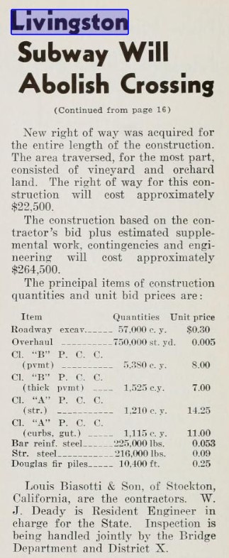
The March 1939 California Highways & Public Works featured the realignment of US 99/LRN 4 in Livingston and the Livingston Underpass. The Livingston Underpass is stated to have opened to traffic on February 21st, 1939 and carried four lanes of US 99/LRN 4. In time the new alignment of US 99/LRN 4 would come to be known as Campbell Boulevard.


The March/April 1949 California Highways & Public Works featured a new divided four-lane segment of US 99/LRN 4 between Atwater and Livingston. The new divided highway between Atwater and Livingston is stated to be 5.7 miles in length.


The May/June 1952 California Highways & Public Works announced a project to widen the Merced River Bridge west of Livingston.


The November/December 1952 California Highways & Public Works announced the widening of US 99/LRN 4 between Delhi and Livingston was budgeted for the 1953-54 Fiscal Year. The 3.6 miles project zone between Delhi and Livingston included the widening of the Merced River Bridge.

During the 1964 State Highway Renumbering the Legislative Route Numbers were deleted in favor of field signage. Thusly, US 99 remained the only through assigned to Campbell Boulevard in Livingston.
The AASHO Renumbering database shows that US 99 was approved to be truncated out of California to Ashland, Oregon by the AASHO Executive Committee on June 29th, 1965. This measure would have become effective on New Year's Day 1966. This measure saw California State Route 99 replace US 99 on Campbell Boulevard in Livingston.


CA 99 appears as the through route in Livingston on the 1967 Division of Highways Map.

As time progressed much of the remaining segments of CA 99 between Wheeler Ridge and Sacramento were converted to freeway grades. By the early 1990s Campbell Boulevard at Main Street in Livingston became the last location of a traffic light on CA 99 in the Wheeler Ridge-Sacramento corridor. The short approach to Main Street from CA 99 southbound on Campbell Avenue was notably hazardous due to the modern traffic approaching the traffic light with poor sight lines at high speeds. CA 99 appears on the 1990 Caltrans Map as an expressway.

The November 4th, 1996, San Francisco Gate announced the new freeway alignment of CA 99 in Livingston was scheduled to open fully during the following December. The San Francisco Gate article refers to CA 99 on Campbell Boulevard in Livingston as an infamous "Blood Alley" due to the high number of fatal accidents near the traffic light at Main Street. The southbound bypass lanes of CA 99 are stated to have been opened to traffic during the past September whereas the northbound lanes were scheduled to open around December 13th.
Further Reading
Continuing north on US Route 99 to the Turlock area?
Continuing south on US Route 99 to Atwater?
Comments