
Prior to the opening of Interstate 15 in the Virgin River Gorge of Arizona traffic on US Route 91 had to contend with an elongated trip from Beaver Dam, Arizona to St. George, Utah over the Beaver Dam Mountains. The trip was made even longer on the final jog from St. George to Washington by way of the Bigelow Tunnel.

Part 1; the history of US Route 91 between Beaver Dam, Arizona and Washington, Utah
What ultimately became US Route 91 ("US 91") between Beaver Dam, Arizona and Washington, Utah was largely inherited from the Arrowhead Trail, Salt Lake-Los Angeles Road and the Mormon Road. The Mormon Road was scouted by a party led by Jefferson Hunt which was searching for a supply route from Salt Lake City to Southern California through 1847-1848. The Mormon Road ultimately utilized much of the established trade routes of the Old Spanish Trail through the Mojave Desert which took it over the Beaver Dam Mountains. The Mormon Road was later reorganized and improved into the Los Angeles-Salt Lake Road by 1855 which was capable of facilitating wagon travel. The Los Angeles-Salt Road largely fell into disuse when the Los Angeles & Salt Lake Railroad was constructed between 1903 through 1905.
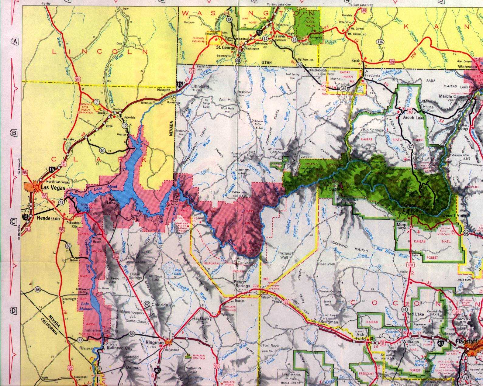
The Salt Lake-Los Angeles Road can be seen between Beaver Dam, Arizona and Washington, Utah on the 1873 Bancroft's Map of California, Nevada, Utah and Arizona. The Salt Lake-Los Angeles Road can be seen avoiding the narrow and treacherous Virgin River Gorge by way of the Beaver Dam Mountains.

The Arrowhead Trail was an Auto Trail which was plotted out in 1915 when promoter and race car driver Charles H. Bigelow drove the entire planned route from Salt Lake City to Los Angeles. The Arrowhead Trail largely followed the path of the Los Angeles-Salt Lake Road which took it over the Beaver Dam Mountains between Beaver Dam, Arizona and St. George, Utah. The Arrowhead Trail would ultimately incorporate into the Arrowhead Trails Association during December of 1916 in Los Angeles. The early Arrowhead Trail between Littlefield, Arizona and St. George, Utah can be seen ascending the Beaver Dam Mountains on the 1917 Arrowhead Trail Map.

Charles H. Bigelow can be seen at what is likely the 1911 Indianapolis 500 behind the wheel of his Mercer race car with his on-board mechanic. Charles H. Bigelow was born on August 26th, 1872 in Kilbourne, Illinois and died on June 8th, 1958 at Los Angeles, California.

Legislatively the Arrowhead Trail Utah became Utah State Route 1 ("UT 1") during the early 1920s. The Arrowhead Trail can be seen multiplexed with the Evergreen National Highway and National Park-to-Park Highway between Beaver Dam, Arizona and Washington, Utah on the 1924 Rand McNally Auto Trails Map of Utah, Colorado, New Mexico and Arizona.


Ultimately the US Route System was approved by the Secretary of Agriculture on November 11th, 1926. US 91 was subsequently applied to the existing Arrowhead Trail between Beaver Dam, Arizona and Washington, Utah. Through St. George the alignment of US 91 followed what is now; UT 8/Sunset Boulevard, Diagonal Street, Main Street and Tabernacle Street towards Washington. According to wchsutah.org the Arrowhead Trail originally followed the base of Foremaster Hill towards Washington.
During the 1920s the Bigelow Tunnel (named after Charles H. Bigelow) was carved through Red Hill as part of US 91/UT 1. The Bigelow Tunnel is approximately 500 feet in length, 21 feet wide, and 13.5 feet high. The completed Bigelow Tunnel saw US 91/UT 1 realigned between St. George and Washington via what is now Industrial Road and Middleton Drive towards Telegraph Street in Washington. According to wchsutah.org US 91/UT 1 was realigned through St. George via what is now UT 18/Bluff Street and UT 34/St. George Boulevard during the 1930s.
According to the 1927-1928 Utah Road Commission Biennial Report the Bigelow Tunnel was completed through Middleton Ridge by April 1927.


The Bigelow Tunnel can be seen in these images hosted on wchsutah.org's page on the Bigelow Tunnel. The photos are cited as having come from the Lynn Clark Collection.


The Bigelow Tunnel and proceeding alignment of the Arrowhead Trail appear in the 1929-1930 Utah Highway Commission Biennial Report.


The red line in the two drawings below depict what US 91/UT 1 would have looked like through St. George towards Washington via the Bigelow Tunnel around 1940.


During the early 1950s an excavated cut between St. George and Washington was dug which bypassed the functionally obsolete Bigelow Tunnel. US 91/UT 1 was realigned onto this new cut which is presently occupied by Interstate 15. The Bigelow Tunnel was maintained for a time as an active roadway but eventually became a storage facility. This excavation and bypass of the Bigelow Tunnel is noted in the 1953-1954 Utah Road Commission Biennial Report as being part of Federal Aid Primary 79.


The Federal Highway Aid Act was signed into law on June 29th, 1956 which saw the creation of the Interstate Highway System. US 91 in Arizona and Utah were slated to be eventually replaced by Interstate 15. In 1962 UT 1 was dropped as a legislative designation for US 91 in Utah. By 1965 Interstate 15 had been completed in Arizona from the Nevada State Line to Beaver Dam which included a multiplexed US 91. Within Washington County, Utah the surface route of US 91 was replaced with Interstate 15 between Bluff Street in St. George east through Washington by 1964. The remaining gap in Interstate 15 through the Virgin River Gorge was a considerably larger project which saw US 91 remain active between Beaver Dam, Arizona and St. George, Utah over the Beaver Dam Mountains. By 1966 US 91 had been truncated from Barstow, California to California State Route 127 in Baker near the Nevada State Line.
Interstate 15 can be seen on the 1971 Arizona Highway Department Map with a gap in the Virgin River Gorge between Littlefield, Arizona and St. George, Utah. This gap in Interstate 15 was bridged by US 91 over the Beaver Dam Mountains.

Interstate 15 was opened to traffic through the Virgin River Gorge on December, 14th, 1973. On April 24th, 1974 the Arizona Highway Department petitioned the AASHO in concurrence with California, Nevada and Utah to decommission US 91 between Beaver Dam, Arizona and St. George, Utah. The decommissioning of US 91 between Beaver Dam, Arizona and St. George, Utah was considered at the June 1974 AASHO Executive Committee Meeting. This would ultimately result in US 91 being truncated from Baker, California to Brigham City, Utah. Ultimately much of US 91 between Beaver Dam, Arizona and St. George, Utah would become Mohave/Washington County Route 91.


Part 2; a drive on former US Route 91 between Beaver Dam, Arizona and St. George, Utah
Interstate 15 in Mohave County, Arizona accesses former US 91/County Route 91 at Exit 8 in Beaver Dam.


Former US 91/County Route 91 northbound crosses under Interstate 15. St. George is signed as 32 miles away whereas Interstate 15 is signed as 36 miles away.


Former US 91/County Route 91 northbound crosses through Beaver Dam and Beaver Dam Creek. Beaver Dam Creek takes it's name from Jefferson Hunt who observed a beaver dam holding back the creek waters while routing his wagon party through the area in 1847. The community of Beaver Dam was later plotted out by Mormon settlers in 1863.


An ADOT maintenance yard can be found in Beaver Dam along former US 91.

Former US 91/County Route 91 continues northward from Beaver Dam to the Utah State Line and Washington County.


Looking south on former US 91 towards the Arizona State Line reveals a view of the Virgin River Gorge. The mouth of the Virgin River Gorge (on the left) stands in stark contrast to the gentle slope of former US 91 through the Mojave Desert.

Former US 91/County Route 91 enters the Beaver Creek Wilderness Conservation Area. St. George is signed as 29 miles away.


Former US 91/County Route 91 northbound intersects the Mojave Desert Joshua Tree Road Scenic Backway.


Former US 91/County Route 91 ascends into the Beaver Dam Mountains to a summit located at approximately 4,500 feet above sea level.


Former US 91/County Route 91 begins to descend through the Beaver Dam Mountains and enters the Shivwits Paiute Indian Reservation. Former US 91/County Route 91 passes through the Shivwits lands over the course of the next 9 northbound miles.


Former US 91/County Route 91 descends through the Beaver Dam Mountains amid views the nearby exterior rim of Snow Canyon to the Santa Clara River where it intersects Gunlock Drive.


Former US 91/County Route 91 enters the community of Shivwits where numerous ruined structures can be found. Shivwits along with nearby Shem are the only two named communities located on the Shivwits Tribal Lands. The Shivwits Reservation was founded in 1891 and was Federally recognized for a second time during 1980 by President Jimmy Carter. The Shivwits Tribal headquarters is located near Ivins and it isn't fully clear if the community of Shivwits functionally is a true ghost town.


Former US 91/County Route 91 crosses the Santa Clara River.


Former US 91/County Route 91 tracks eastward past the Shivwits Tribal headquarters and community.


Former US 91/County Route 91 leaves the Shivwits Reservation and enters the City of Ivins. Mormon settlers founded Ivins in 1911 when construction of a canal from Shem to a smelter began. Ivins would incorporate during 1935 and became a City during 1998.


Former US 91/County Route 91 continues eastward and enters the City of Santa Clara on Sunset Boulevard. Santa Clara was settled by Jacob Hamblin in 1854 who was assigned to a mission attached to the Shivwits Paiute tribe. This led to the construction of Fort Santa Clara during the winter of 1855-1856. Fort Santa Clara was destroyed by floods during 1862 and the community was subsequently rebuilt.


Former US 91 follows Sunset Boulevard into the City of St. George and picks up UT 8 at Dixie Drive. Present UT 8 is only 1.3 miles in length and was created in 1996 from what had been UT 300. UT 300 as originally designated ran from UT 18 southward through Snow Canyon State Park to the City Limits of Ivins. Resolutions passed by Utah Transportation Commission in 1991 extended what was UT 300 back to UT 18 south of Snow Canyon State Park. Upon these improvements being completed in 1996 the current UT 8 was thusly designated. Much of UT 8 was absorbed by the Utah Division of Parks & Recreation which saw the highway truncated to it's current size. The current UT 8 is the second time the number has been designated.


Former US 91 follows UT 8/Sunset Boulevard to it's eastern terminus at UT 18/Bluff Street where it would have turned south towards downtown St. George.


Former US 91 follows UT 18/Bluff Street southward to UT 34/St. George Boulevard where it would have made a left turn eastward into downtown St. George. UT 18 was originally plotted out in 1918 as a State Highway but obtained it's number designation in 1927 when it spanned from US 91/UT 1 north to UT 56. UT 18 was extended southward over US 91 in 1969 to UT 34/St. George Boulevard in anticipation of the multiplex being removed upon completion of Interstate 15 through the Virgin River Gorge. UT 18 was extended to Interstate 15 in 1974 over what had been US 91/UT 34 on Bluff Street south of St. George Boulevard.


Part 3; accessing the Bigelow Tunnel
As noted in Part 1 the Bigelow Tunnel is no longer a through route and is presently used as a storage facility. The south portal of the Bigelow Tunnel cannot be approached due to it being on private property but the north portal is easily seen from Cottonwood Springs Road in St. George.


Comments