Over the course of the past year I drove the entirety of California State Route 132 and it's County Route continuation; J132.

Part 1; the history of CA 132
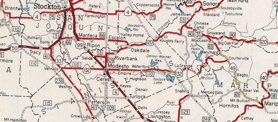
CA 132 is a 76 mile east/west State Highway which stretches from I-580 in San Joaquin County eastward to CA 49/CR J132 in Mariposa County.

According to CAhighways.org CA 132 was part of Legislative Route 110 which was adopted in 1933. CA 132 was announced in an August 1934 Department of Public Works Guide as a State Highway from Vernalis eastward to Mariposa (interestingly and somewhat oddly) by way of Coulterville.
Of note; the same 1934 Department of Public Works Guide shows that CA 49 also terminated in Mariposa. In theory as originally defined CA 49 and CA 132 were meant to multiplex south of Coulterville on LRN 65 through the Merced River Canyon to Mariposa.

In field signage CA 132 seems to have never multiplexed CA 49 south of Coulterville. The 1935 Goshua Highway Map of California shows CA 132 ending at CA 49 in Coulterville.

Likewise, the 1938 Division of Highways Map of California shows CA 132 terminating at CA 49 in Coulterville. The 1938 Division of Highways Map was the map to display the Signed State Highways.

The corridor of CA 132 west of CA 99 was slated to become part of I-5W. Specifically the corridor of CA 132 was selected to become I-5W as part of the 1947 version of the Interstate Highway system which ultimately never was built. In the 1947 Interstate plan I-5 was to be routed up US 99 where it would have split into I-5W and I-5E in Modesto. I-5W was to planned to use the following current state highways:
- Modern CA 132 west to I-580.
- Modern I-580 west to I-80.
- Modern I-80 east to I-505.
- Modern I-505 to I-5.
As the second Interstate System was being drafted the path of I-5 was shifted to the western part of San Joaquin Valley which was planned as LRN 238. I-5W was planned to split from I-5 at the present junction of CA 132/I-5. The first segment of I-5W was an extension of LRN 110 which was extended west to US 50 near Tracy by the State Legislature in 1957. The proposed extension to LRN 110 can be seen on the 1958 Division of Highways State Map.

By 1959 the State Legislature approved widening LRN 110 into a bypass of Tracy which is when the final planned routes of what became CA 132, I-580 from I-5 to I-205 near Tracy took form. This can be seen on the 1960 Division of Highways State Map.

What ultimately prevented I-5W from becoming fully to fruition was likely the 1964 State Highway renumbering which discontinued the use of suffixed routes. The current highway designations that were slated for the corridor of I-5W first appear on the 1964 Division of Highways State Map.

Some time between 1967 and 1969 CA 132 was extended to I-580. The path of CA 132 between I-580 and I-5 was built to freeway starts and serves as a trace reminder of the much grander plans of I-5W and can be first observed on the 1969 Division of Highways State Map.

In recent years there has been traction towards building on the right-of-way west of downtown Modesto obtained originally for the construction of I-5W. Beginning in 2017 there was finally forward momentum to building CA 132 west of CA 99 to an expressway west to Dakota Avenue. Dakota Avenue was approved by the California Transportation Commission in June of 2019 as a temporary connector route from the new CA 132 expressway south to CA 132 on Maze Avenue. A secondary project to build the new CA 132 expressway west to Gates Road is scheduled to begin in 2025. More detail on both expressway segments of CA 132 west of CA 99 can be found on the CAhighways.org Page on CA 132 linked above.
Part 2; Driving California State Route 132
My approach to CA 132 east was from I-580 east in San Joaquin County south of Tracy.


CA 132 east of I-580 is a full fledged freeway to I-5, albeit one that is not completely four lanes.. Approaching I-5 the route of CA 132 begins a 19 mile Safety Corridor and crosses the California Aqueduct.


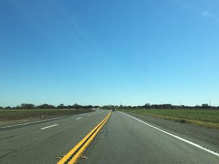
Modesto is signed as being 19 miles east of I-5 along CA 132. CA 132 east of I-5 drops to a two-lane expressway all the way to the junction with CA 33 near Vernalis.


East of CA 33 the route of CA 132 is a two-lane roadway that is signed on Maze Boulevard all the way to Modesto. CA 132 east enters Stanislaus County past the junction with CA 33.

CA 132 east crosses the San Joaquin River, San Joaquin National Wildlife Refuge and open farm country before entering the City Limits of Modesto at Carpenter Road. The CA 132 Safety Corridor ends approaching the City of Modesto but there is a Pedestrian Safety Corridor signed within the City.


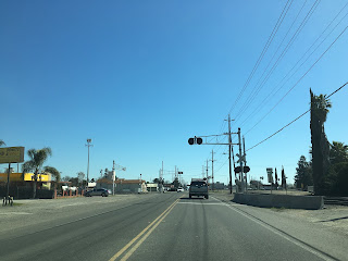
CA 132 east approaches downtown Modesto and meets CA 99 on L Street.


CA 132 east of CA 99 on L Street is signed as the "Modesto Police Officer Leo Volk Jr. Police Sergeant Steve May Memorial Highway." Interestingly CA 108 east begins at CA 99 and multiplexes CA 132 through much of downtown Modesto.


CA 132 east/CA 108 east cross the Union Pacific Mainline and make a right hand turn onto 9th Street.


CA 108 east splits from CA 132 east at K Street.

CA 132 east on 9th Streets passes by the 1915 Southern Pacific Depot at J Street. The 1915 Southern Pacific Depot no longer serves passenger traffic but is now the bus depot for the City of Modesto. Passenger service in Modesto is accessed via the BNSF line on the eastern outskirts of the City.

CA 132 east on 9th Street is co-signed as CA 99 Business.

CA 132 east makes a left hand turn onto D Street, Empire is signed as 5 miles away.


CA 132 east makes a right hand turn onto Yosemite Boulevard.


At Claus Road CA 132 east picks up Signed County Route J7 and begins a short multiplex to Empire.

CA 132 east/CR J7 south multiplex over two sets of rails before the latter splits off onto Santa Fe Avenue.


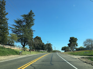
CA 132 east traverses through Empire and begins to follow the course of the Tuolumne River. CA 132 east meets CR J14 at Geer Road.


CA 132 east enters Waterfort and meets CR J9 at Hickman Road.


CA 132 east of Waterfort largely follows the course of the Tuolumne River through hilly country side. At Reservoir Road access to the Modest Reservoir is signed from CA 132 east.


CA 132 east enters Roberts Ferry at Roberts Ferry Road. Roberts Ferry was located 3/8ths of a mile to the west and was established in 1850. Roberts Ferry was moved to the present community location by 1862 and it became the principal crossing of the Tuolumne River on the Stockton-Los Angeles Road.


The most interesting aspect to Roberts Ferry is the 2000 Roberts Ferry Covered Bridge over the Tuolumne River on Roberts Ferry Road. Roberts Ferry was replaced by a wooden bridge in 1887 which was replaced by a steel truss structure in 1915. Floods on the Tuolumne River in 1997 took out the 1915 truss bridge which led to the construction of the 2000 Roberts Ferry Covered Bridge.

CA 132 east of Roberts Ferry begins more closely follow the course of the Tuolumne River. As the Tuolumne River swings northeast CA 132 east crosses over it near the Old Basso Bridge.


Access to the Old Basso Bridge and Turlock Lake State Park is signed from CA 132 east via Lake Road.


Just before the Old Basso Bridge there is a historic marker for the La Grange Dredging Company mining camp which was abandoned by 1951.


The Old Basso Bridge is the original crossing CA 132 used to take over the Tuolumne River. The Old Basso Bridge was constructed in 1912 and is a truss design. The old road deck of the Old Basso Bridge can still be crossed on foot which has a nice view of the new span and Tuolumne River.


CA 132 east of the Old Basso Bridge continues to La Grange which is located at CR J59.


Shortly before the junction with CR J59 the route of CA 132 east passes by the remains of the 1845 La Grange French Cemetery. The La Grange French Cemetery overlooks the Tuolumne River.


East of CR J59 the alignment of CA 132 enters La Grange.


Coulterville is signed as being 22 miles to the east on CA 132 in La Grange.
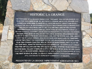
La Grange dates back to the 1840s just before the onset of the California Gold Rush and was organized as a formal community in 1852. In 1854 Stanislaus County was formed and La Grange was selected as the County Seat from 1856 to 1862.
Various historic structures remain in La Grange on CA 132 such as 1897 La Grange Saloon.


Immediately west of the La Grange Saloon is the Layette Historical Lodge which dates back to 1857.


CR J59 used to cross through La Grange on Old La Grange Road. The 1914 Old La Grange Bridge is still located on the Tuolumne River as a walking path.


CA 132 snakes through La Grange at the edge of the La Grange Regional Park.


The La Grange Museum hosts several historic structures such as the 1850 La Grange Trading Post and the 1856 Stanislaus County Jail.


Immediately east of La Grange CA 132 begins to ascend in elevation. The route of CA 132 crosses a small vintage bridge over a canal following La Grange Dam Road. There was a new placard displaying the name and date of the bridge that I missed in my photos, I believe the bridge dated to 1912.

CA 132 east of La Grange appears to largely be on it's original alignment. CA 132 starts to get curvy as it crosses another bridge over Dunn Creek.


East of Dunn Creek CA 132 crosses into Tuolumne County.

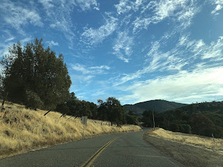
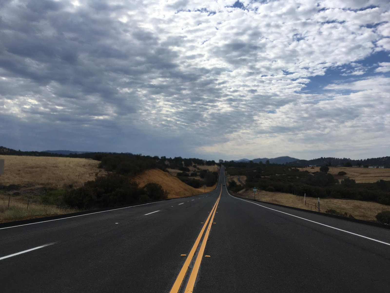
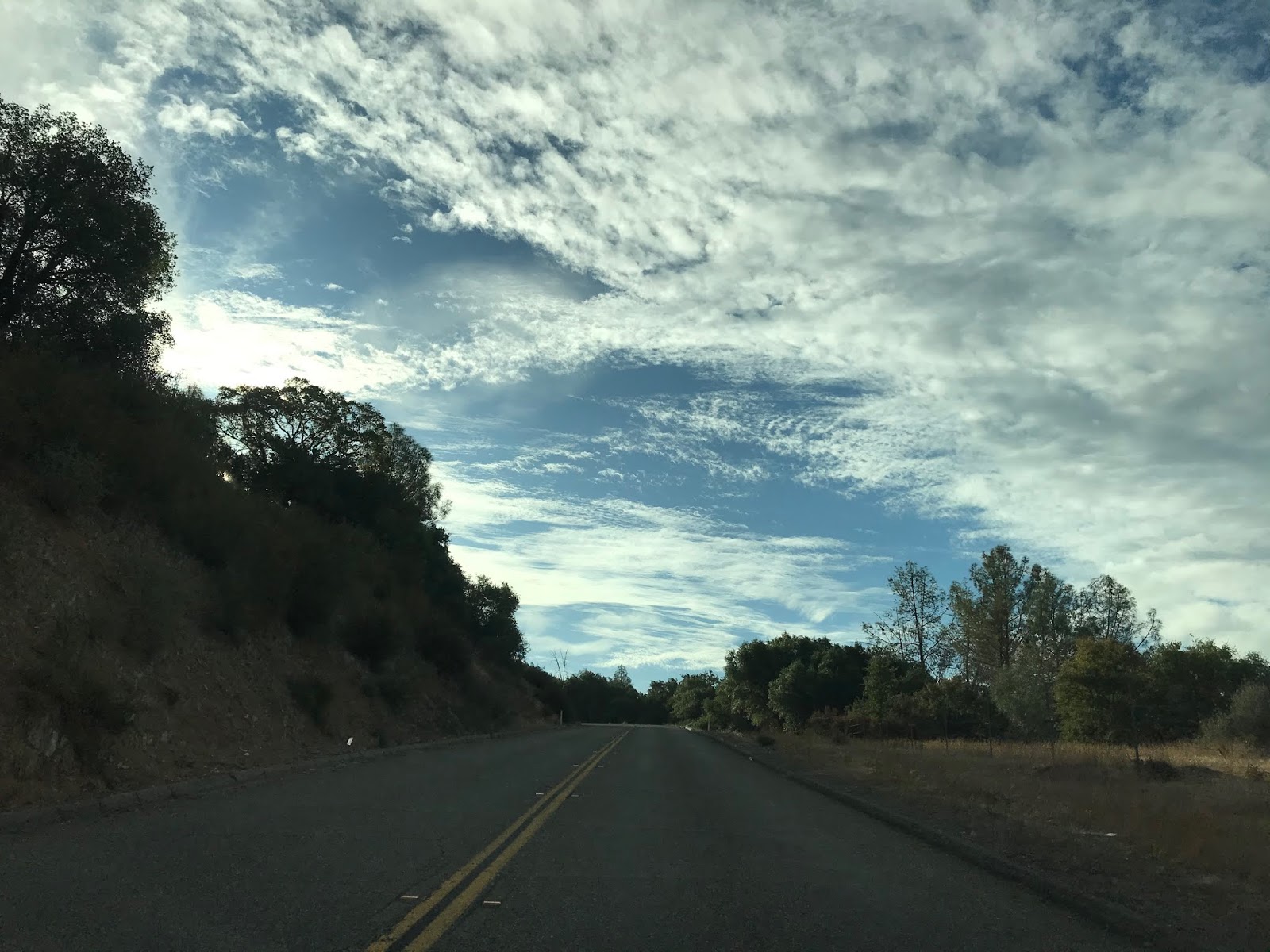
As the alignment of CA 132 ascends into the Sierra Foothills it starts to dip which provides some nice distant views of the mountains ahead. It isn't long before CA 132 dips into Mariposa County where it passes a small community called Hayward.


After another vista view CA 132 dips quickly back into Tuolume County.


CA 132 passes by a cove of the Don Pedro Reservoir while in Tuolumne County.


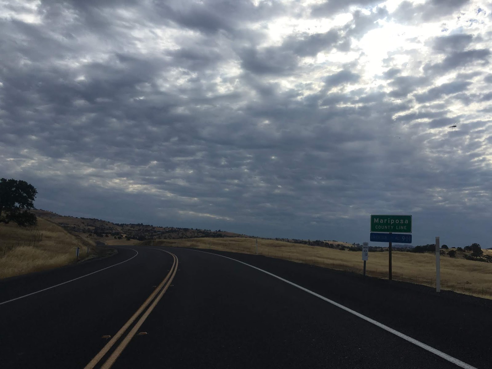
Near Merced Falls Road CA 132 eastward crosses into Mariposa County for a final time.

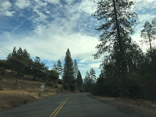
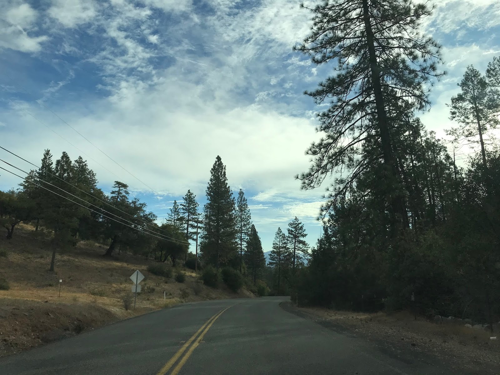
CA 132 passes through a small community known as Granite Springs as it begins to ascend higher into the Sierras.


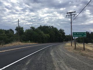
CA 132 takes one final climb towards Coulterville just to the north of Lake McClure and the Merced River.


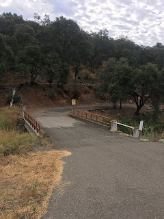
On the outskirts of Coulterville CA 132 has a junction with Old Highway 49. There is a small one-lane bridge over Maxwell Creek which possibly was part of Old CA 49. The current Maxwell Creek Bridge in Coulterville to the east shows a completion date of 1963 which suggests CA 132 ended here for almost four decades.

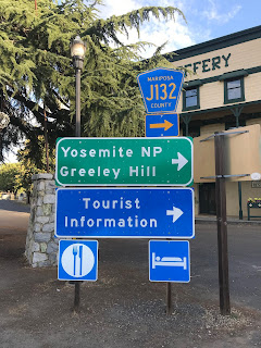
CA 132 ends in downtown Coulteville at CA 49.


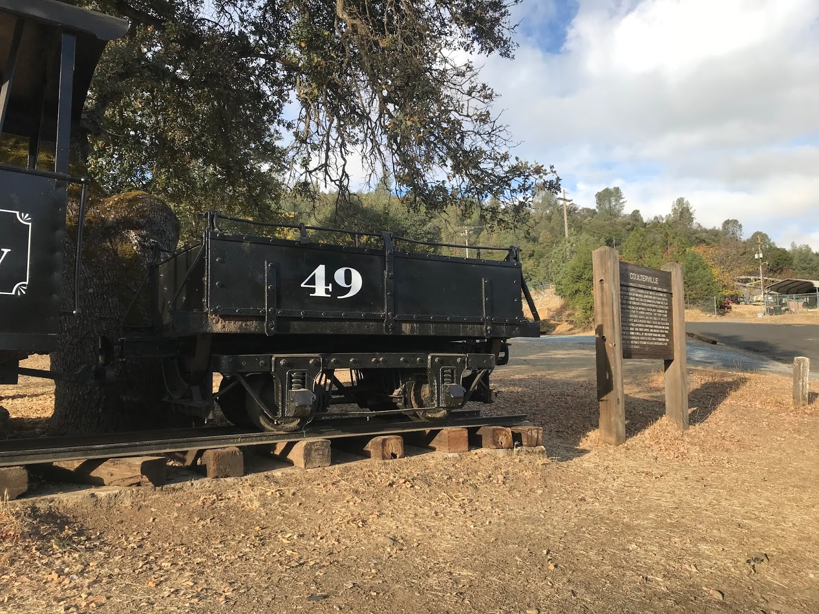
Coulterville is another classic California Gold Rush town. CA 132 has an implied continuation along CR J132 which begins in Coulterville on Greeley Hill Road and continues northeast to CA 120.


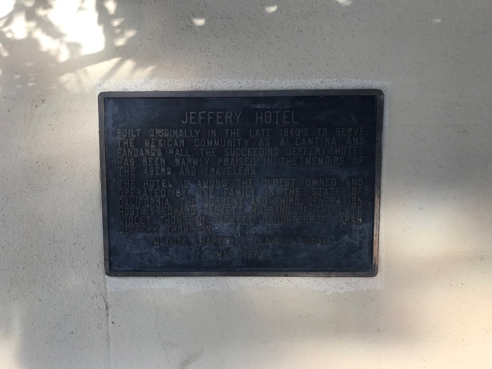
Coulterville was founded in 1850 along Maxwell Creek and is named after George Coulter. Originally Coulterville was called Maxwell Creek but it was changed to the modern name by 1853. Coulterville has numerous buildings from the 1850s which remain in the community today. Some of the more notable buildings that I took photos of were; the Hotel Jeffery which was completed in 1851, the Barrett Blacksmith Shop which was built in the 1850s is now a Mini-Mart, and the Wells Fargo building from 1856 is new a museum.


Part 3; Signed County Route J132
According to CAhighways.org CR J132 was defined in 1961. It seems likely the definition fell in line with the realigned CA 49 pushing CA 132 into downtown Coulterville with the completion of the 1963 Maxwell Creek Bridge. According CAhighways.org CR J132 was originally signed as CR J20 and was shown with said designation on at least one commercial map as late as 1995.
J132 is approximately 14.72 mile County Route between CA 49/CA 132 in Coulterville northeast to CA 120. From CA 49/CA 132 the route of J132 uses; Main Street, Greeley Hill Road and Smith Station Road to reach CA 120.

J132 eastbound begins at CA 49/CA 132 on Main Street next to the Hotel Jeffery.

J132 on Main Street is co-signed as the Historic John Muir Route. Traffic on J132 east is advised that Coulterville is considered a Historic Town.

J132 eastbound traverses downtown Coulterville and splits from Main Street onto Greeley Hill Road at Chinatown Main Street.


Main Street continues into the former Chinatown District of Coulterville. Coulterville much like many of the Gold Rush Era communities relied heavily on Chinese mining labor and was segregated. The Chinese Miners along with Mexican Miners apparently arrived just before George Coulterville in 1850. Today there is only one building in Coulterville's Chinatown which shows evidence of what it once was.

As CA 132 on Greeley Hill Road continues east of Coulterville it passes by Dogtown Road. Dogtown Road was part of the first Stage Route to Yosemite Valley which was known as the Coulterville Toll Road and was completed by June of 1874.

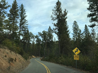
Traffic on J132 east on Greeley Hill Road is advised of 8 miles of curves ahead. The next major junction on J132 eastbound is at Priest-Coulterville Road.


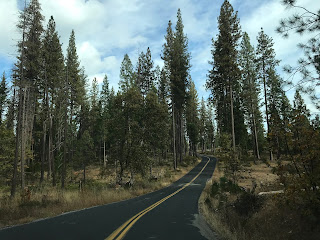
J132 east on Greeley Hill Road begins to ascend a series of switchbacks to the community of Greeley Hill.


J132 on Greeley Hill Road passes through Greeley Hill and enters the community of Redcould Park.


East of Redcould Park J132 descends a series of hills and splits from Greeley Hill Road onto Smith Station Road.


J132 from the split onto Smith Station Road is signed as 6 miles from CA 120 and 23 miles from Yosemite National Park.

J132 eastbound on Smith Station Road winds through the mountains to the Tuolumne County Line.


J132 on Smith Station Road has a noticeable difference in asphalt quality. J132 eastbound winds through a series of private residences and mountain roads to an eventual terminus at CA 120.


Part 1; the history of CA 132
CA 132 is a 76 mile east/west State Highway which stretches from I-580 in San Joaquin County eastward to CA 49/CR J132 in Mariposa County.

According to CAhighways.org CA 132 was part of Legislative Route 110 which was adopted in 1933. CA 132 was announced in an August 1934 Department of Public Works Guide as a State Highway from Vernalis eastward to Mariposa (interestingly and somewhat oddly) by way of Coulterville.
Of note; the same 1934 Department of Public Works Guide shows that CA 49 also terminated in Mariposa. In theory as originally defined CA 49 and CA 132 were meant to multiplex south of Coulterville on LRN 65 through the Merced River Canyon to Mariposa.
In field signage CA 132 seems to have never multiplexed CA 49 south of Coulterville. The 1935 Goshua Highway Map of California shows CA 132 ending at CA 49 in Coulterville.

Likewise, the 1938 Division of Highways Map of California shows CA 132 terminating at CA 49 in Coulterville. The 1938 Division of Highways Map was the map to display the Signed State Highways.

The corridor of CA 132 west of CA 99 was slated to become part of I-5W. Specifically the corridor of CA 132 was selected to become I-5W as part of the 1947 version of the Interstate Highway system which ultimately never was built. In the 1947 Interstate plan I-5 was to be routed up US 99 where it would have split into I-5W and I-5E in Modesto. I-5W was to planned to use the following current state highways:
- Modern CA 132 west to I-580.
- Modern I-580 west to I-80.
- Modern I-80 east to I-505.
- Modern I-505 to I-5.
As the second Interstate System was being drafted the path of I-5 was shifted to the western part of San Joaquin Valley which was planned as LRN 238. I-5W was planned to split from I-5 at the present junction of CA 132/I-5. The first segment of I-5W was an extension of LRN 110 which was extended west to US 50 near Tracy by the State Legislature in 1957. The proposed extension to LRN 110 can be seen on the 1958 Division of Highways State Map.

By 1959 the State Legislature approved widening LRN 110 into a bypass of Tracy which is when the final planned routes of what became CA 132, I-580 from I-5 to I-205 near Tracy took form. This can be seen on the 1960 Division of Highways State Map.
What ultimately prevented I-5W from becoming fully to fruition was likely the 1964 State Highway renumbering which discontinued the use of suffixed routes. The current highway designations that were slated for the corridor of I-5W first appear on the 1964 Division of Highways State Map.

Some time between 1967 and 1969 CA 132 was extended to I-580. The path of CA 132 between I-580 and I-5 was built to freeway starts and serves as a trace reminder of the much grander plans of I-5W and can be first observed on the 1969 Division of Highways State Map.

In recent years there has been traction towards building on the right-of-way west of downtown Modesto obtained originally for the construction of I-5W. Beginning in 2017 there was finally forward momentum to building CA 132 west of CA 99 to an expressway west to Dakota Avenue. Dakota Avenue was approved by the California Transportation Commission in June of 2019 as a temporary connector route from the new CA 132 expressway south to CA 132 on Maze Avenue. A secondary project to build the new CA 132 expressway west to Gates Road is scheduled to begin in 2025. More detail on both expressway segments of CA 132 west of CA 99 can be found on the CAhighways.org Page on CA 132 linked above.
Part 2; Driving California State Route 132
My approach to CA 132 east was from I-580 east in San Joaquin County south of Tracy.


CA 132 east of I-580 is a full fledged freeway to I-5, albeit one that is not completely four lanes.. Approaching I-5 the route of CA 132 begins a 19 mile Safety Corridor and crosses the California Aqueduct.


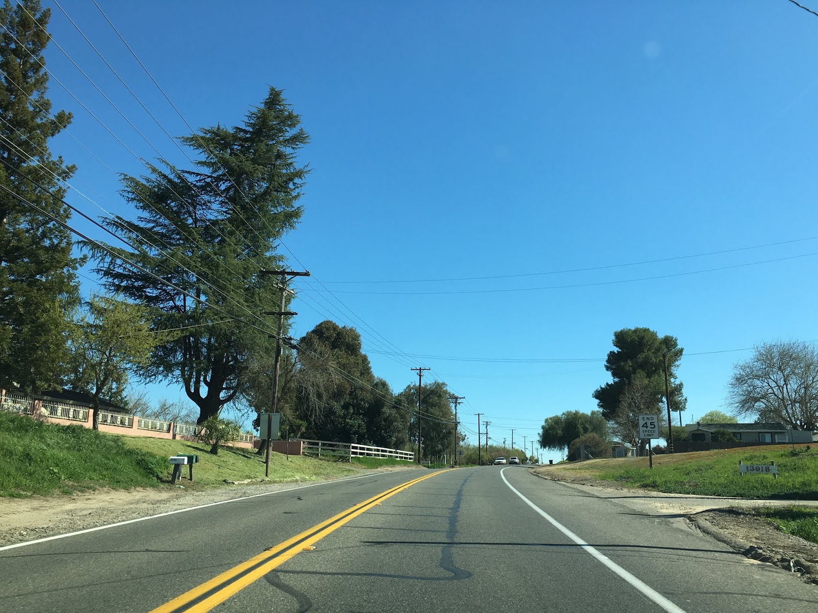
Modesto is signed as being 19 miles east of I-5 along CA 132. CA 132 east of I-5 drops to a two-lane expressway all the way to the junction with CA 33 near Vernalis.


East of CA 33 the route of CA 132 is a two-lane roadway that is signed on Maze Boulevard all the way to Modesto. CA 132 east enters Stanislaus County past the junction with CA 33.

CA 132 east crosses the San Joaquin River, San Joaquin National Wildlife Refuge and open farm country before entering the City Limits of Modesto at Carpenter Road. The CA 132 Safety Corridor ends approaching the City of Modesto but there is a Pedestrian Safety Corridor signed within the City.


CA 132 east of CA 99 on L Street is signed as the "Modesto Police Officer Leo Volk Jr. Police Sergeant Steve May Memorial Highway." Interestingly CA 108 east begins at CA 99 and multiplexes CA 132 through much of downtown Modesto.


CA 132 east/CA 108 east cross the Union Pacific Mainline and make a right hand turn onto 9th Street.


CA 108 east splits from CA 132 east at K Street.

CA 132 east on 9th Streets passes by the 1915 Southern Pacific Depot at J Street. The 1915 Southern Pacific Depot no longer serves passenger traffic but is now the bus depot for the City of Modesto. Passenger service in Modesto is accessed via the BNSF line on the eastern outskirts of the City.

CA 132 east on 9th Street is co-signed as CA 99 Business.

CA 132 east makes a left hand turn onto D Street, Empire is signed as 5 miles away.


CA 132 east makes a right hand turn onto Yosemite Boulevard.


At Claus Road CA 132 east picks up Signed County Route J7 and begins a short multiplex to Empire.

CA 132 east/CR J7 south multiplex over two sets of rails before the latter splits off onto Santa Fe Avenue.


CA 132 east traverses through Empire and begins to follow the course of the Tuolumne River. CA 132 east meets CR J14 at Geer Road.


CA 132 east enters Waterfort and meets CR J9 at Hickman Road.


CA 132 east of Waterfort largely follows the course of the Tuolumne River through hilly country side. At Reservoir Road access to the Modest Reservoir is signed from CA 132 east.


CA 132 east enters Roberts Ferry at Roberts Ferry Road. Roberts Ferry was located 3/8ths of a mile to the west and was established in 1850. Roberts Ferry was moved to the present community location by 1862 and it became the principal crossing of the Tuolumne River on the Stockton-Los Angeles Road.


The most interesting aspect to Roberts Ferry is the 2000 Roberts Ferry Covered Bridge over the Tuolumne River on Roberts Ferry Road. Roberts Ferry was replaced by a wooden bridge in 1887 which was replaced by a steel truss structure in 1915. Floods on the Tuolumne River in 1997 took out the 1915 truss bridge which led to the construction of the 2000 Roberts Ferry Covered Bridge.

CA 132 east of Roberts Ferry begins more closely follow the course of the Tuolumne River. As the Tuolumne River swings northeast CA 132 east crosses over it near the Old Basso Bridge.


Access to the Old Basso Bridge and Turlock Lake State Park is signed from CA 132 east via Lake Road.


Just before the Old Basso Bridge there is a historic marker for the La Grange Dredging Company mining camp which was abandoned by 1951.


The Old Basso Bridge is the original crossing CA 132 used to take over the Tuolumne River. The Old Basso Bridge was constructed in 1912 and is a truss design. The old road deck of the Old Basso Bridge can still be crossed on foot which has a nice view of the new span and Tuolumne River.


CA 132 east of the Old Basso Bridge continues to La Grange which is located at CR J59.


Shortly before the junction with CR J59 the route of CA 132 east passes by the remains of the 1845 La Grange French Cemetery. The La Grange French Cemetery overlooks the Tuolumne River.


East of CR J59 the alignment of CA 132 enters La Grange.


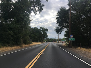
Coulterville is signed as being 22 miles to the east on CA 132 in La Grange.

La Grange dates back to the 1840s just before the onset of the California Gold Rush and was organized as a formal community in 1852. In 1854 Stanislaus County was formed and La Grange was selected as the County Seat from 1856 to 1862.

Various historic structures remain in La Grange on CA 132 such as 1897 La Grange Saloon.


Immediately west of the La Grange Saloon is the Layette Historical Lodge which dates back to 1857.


CR J59 used to cross through La Grange on Old La Grange Road. The 1914 Old La Grange Bridge is still located on the Tuolumne River as a walking path.


CA 132 snakes through La Grange at the edge of the La Grange Regional Park.


The La Grange Museum hosts several historic structures such as the 1850 La Grange Trading Post and the 1856 Stanislaus County Jail.


Immediately east of La Grange CA 132 begins to ascend in elevation. The route of CA 132 crosses a small vintage bridge over a canal following La Grange Dam Road. There was a new placard displaying the name and date of the bridge that I missed in my photos, I believe the bridge dated to 1912.

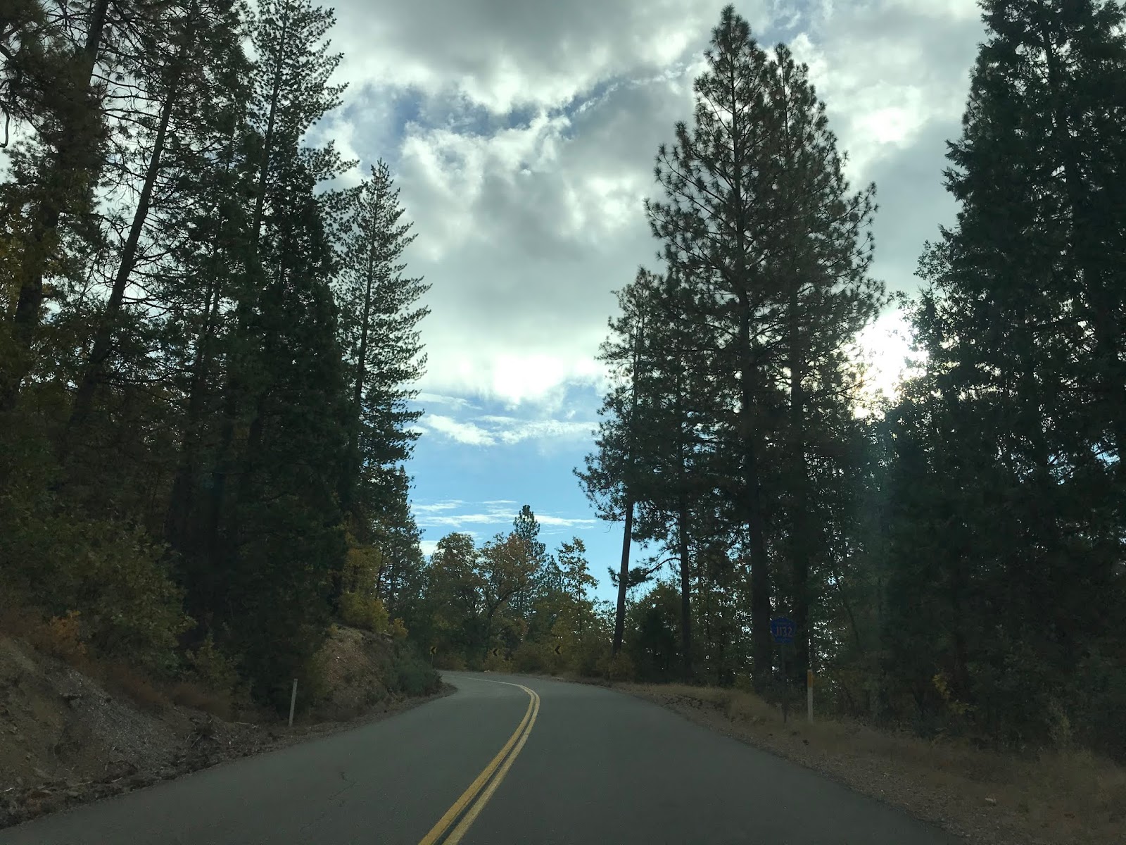
CA 132 east of La Grange appears to largely be on it's original alignment. CA 132 starts to get curvy as it crosses another bridge over Dunn Creek.


East of Dunn Creek CA 132 crosses into Tuolumne County.


As the alignment of CA 132 ascends into the Sierra Foothills it starts to dip which provides some nice distant views of the mountains ahead. It isn't long before CA 132 dips into Mariposa County where it passes a small community called Hayward.

After another vista view CA 132 dips quickly back into Tuolume County.


CA 132 passes by a cove of the Don Pedro Reservoir while in Tuolumne County.


Near Merced Falls Road CA 132 eastward crosses into Mariposa County for a final time.

CA 132 passes through a small community known as Granite Springs as it begins to ascend higher into the Sierras.


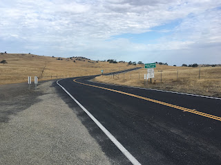
CA 132 takes one final climb towards Coulterville just to the north of Lake McClure and the Merced River.


On the outskirts of Coulterville CA 132 has a junction with Old Highway 49. There is a small one-lane bridge over Maxwell Creek which possibly was part of Old CA 49. The current Maxwell Creek Bridge in Coulterville to the east shows a completion date of 1963 which suggests CA 132 ended here for almost four decades.


CA 132 ends in downtown Coulteville at CA 49.


Coulterville is another classic California Gold Rush town. CA 132 has an implied continuation along CR J132 which begins in Coulterville on Greeley Hill Road and continues northeast to CA 120.


Coulterville was founded in 1850 along Maxwell Creek and is named after George Coulter. Originally Coulterville was called Maxwell Creek but it was changed to the modern name by 1853. Coulterville has numerous buildings from the 1850s which remain in the community today. Some of the more notable buildings that I took photos of were; the Hotel Jeffery which was completed in 1851, the Barrett Blacksmith Shop which was built in the 1850s is now a Mini-Mart, and the Wells Fargo building from 1856 is new a museum.


Part 3; Signed County Route J132
According to CAhighways.org CR J132 was defined in 1961. It seems likely the definition fell in line with the realigned CA 49 pushing CA 132 into downtown Coulterville with the completion of the 1963 Maxwell Creek Bridge. According CAhighways.org CR J132 was originally signed as CR J20 and was shown with said designation on at least one commercial map as late as 1995.
J132 is approximately 14.72 mile County Route between CA 49/CA 132 in Coulterville northeast to CA 120. From CA 49/CA 132 the route of J132 uses; Main Street, Greeley Hill Road and Smith Station Road to reach CA 120.

J132 eastbound begins at CA 49/CA 132 on Main Street next to the Hotel Jeffery.


J132 on Main Street is co-signed as the Historic John Muir Route. Traffic on J132 east is advised that Coulterville is considered a Historic Town.

J132 eastbound traverses downtown Coulterville and splits from Main Street onto Greeley Hill Road at Chinatown Main Street.


Main Street continues into the former Chinatown District of Coulterville. Coulterville much like many of the Gold Rush Era communities relied heavily on Chinese mining labor and was segregated. The Chinese Miners along with Mexican Miners apparently arrived just before George Coulterville in 1850. Today there is only one building in Coulterville's Chinatown which shows evidence of what it once was.

As CA 132 on Greeley Hill Road continues east of Coulterville it passes by Dogtown Road. Dogtown Road was part of the first Stage Route to Yosemite Valley which was known as the Coulterville Toll Road and was completed by June of 1874.

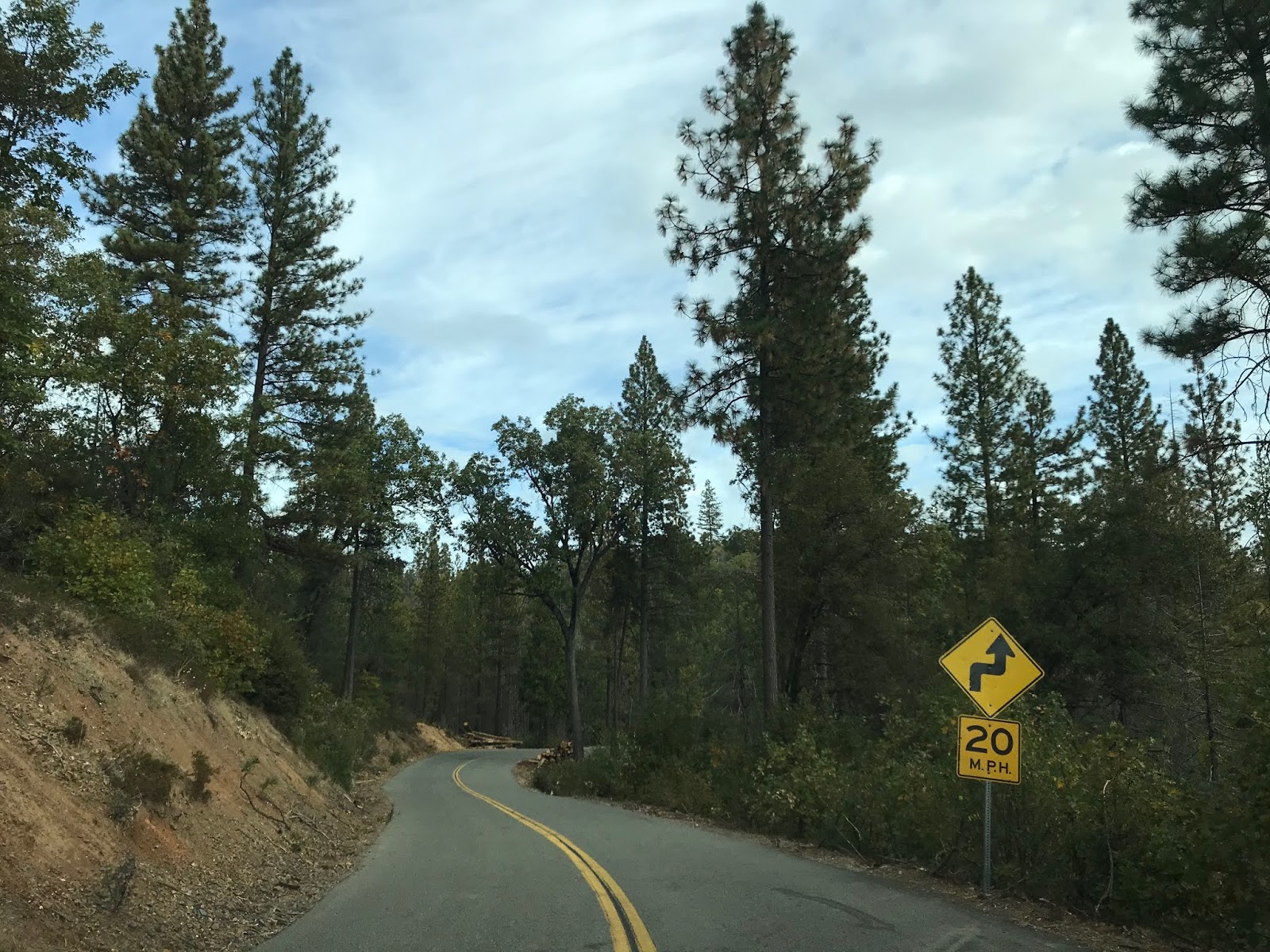
Traffic on J132 east on Greeley Hill Road is advised of 8 miles of curves ahead. The next major junction on J132 eastbound is at Priest-Coulterville Road.


J132 east on Greeley Hill Road begins to ascend a series of switchbacks to the community of Greeley Hill.


J132 on Greeley Hill Road passes through Greeley Hill and enters the community of Redcould Park.


East of Redcould Park J132 descends a series of hills and splits from Greeley Hill Road onto Smith Station Road.


J132 from the split onto Smith Station Road is signed as 6 miles from CA 120 and 23 miles from Yosemite National Park.

J132 eastbound on Smith Station Road winds through the mountains to the Tuolumne County Line.


J132 on Smith Station Road has a noticeable difference in asphalt quality. J132 eastbound winds through a series of private residences and mountain roads to an eventual terminus at CA 120.


Comments