Friant Road is an approximately eleven-mile Fresno County expressway which spans from California State Route 41/Blackstone Avenue in Fresno to the community Friant via a gorge running along the San Joaquin River. Portions of the original alignments of Friant Road also served as part of early California State Route 41. Friant Road was modernized during the 2000s into the expressway seen today. The Lewis S. Eaton Trail was largely built over the initial grade of Friant Road which was part of early California State Route 41.
Part 1; the history of Friant RoadFriant Road takes it's name from the community of Friant which is located near Millerton Lake and Friant Dam. The community of Friant was established as Converse Ferry during 1852 on the San Joaquin River downstream Fort Miller and the community of Millerton. Upon the formation of the Stockton-Los Angeles Road the site of Converse Ferry would become increasingly important as a crossing of the San Joaquin River. During 1863 Converse Ferry changed hands would be renamed as "Jones Ferry."
Jones Ferry can be seen south of Millerton along the road the road to Fresno (which would become Friant Road) on the 1882 Bancroft's Map of California. Note: Jones Ferry was renamed to "Hamptonville" during 1881 but it was not captured on the 1882 Bancroft's Map.
Hamptonville and the road to Fresno can be seen on the
1891Thompson Map of Fresno County. Note: during 1891 the community of Hamptonville would be renamed to "Pollasky" after the community received railroad service. Pollasky was a reference to Southern Pacific Railroad official Marcus Pollasky.
The ferry crossing at Pollasky would be replaced by a new concrete bridge which opened to traffic during 1906. The new concrete bridge connected Pollasky directly to the North Fork Road (now Road 206) in Madera County. The then so-called Pollasky Bridge can be seen in a photo from the 1913 book "
The Concrete Bridge." Note: Pollasky would assume the modern community's name of "Friant" during 1907. The name "Friant" is a reference to local lumber company executive Thomas Friant.

Friant, Friant Road and the North Fork Road Bridge can all be seen on the 1914 Weber Map of Fresno County.
Friant Road from Herndon Avenue/Blackstone Avenue near Pinedale to Lanes Road was added to the State Highway System during 1933 (legislative chapter 767) as a component of Legislative Route Number 125. The same portion of Friant Road would be assigned as California State Route 41 when the initial run of Sign State Routes was announced in August 1934 California Highways & Public Works.
California State Route 41 can be seen following Friant Road from Herndon Avenue/Blackstone Avenue to Lanes Road on the
1935 Division of Highways Map of Fresno County. California State Route 41 and Legislative Route Number 125 are shown crossing the San Joaquin River into Madera County via the 1889 Lanes Bridge.

The 1889 Lanes Bridge was partially destroyed by an overloaded truck collapsing the road deck during 1940. California State Route 41 was realigned onto a temporary detour north of Lanes Road via Friant Road to Friant and the 1906 North Fork Road Bridge over the San Joaquin River. The
August 1940 California Highways & Public Works announced awarded contracts to construct a new Lanes Bridge along with other structures as an extension of Blackstone Avenue.
The
November 1941 California Highways & Public Works featured the opening of the new Lanes Bridge and realignment of California State Route 41 via the Blackstone Avenue extension. The new Lanes Bridge was dedicated and open to traffic on October 12, 1941. The realignment of California State Route 41 onto the new Lanes Bridge took Friant Road out of the State Highway System. The detour alignment of California State Route 41 to Friant via Friant Road is described as having been five miles longer than the new highway.
Despite Friant Dam being completed during 1942 the waters below the structure at Friant became too strong during 1951 and destroyed the 1906 North Fork Road Bridge. During 1952 a replacement bridge over San Joaquin River was constructed.
During the 1968s in the run up to Woodward Park opening the southern terminus of Friant Road was realigned to end at Blackstone Avenue at roughly where El Paso Avenue is now located. The former segment of Friant Road which ended at Blackstone Avenue and Herndon Avenue was reassigned as Abby Street. The realigned Friant Road can be seen on the 1982 United States Geological Survey Map of Fresno.
The expansion of Friant Road from Copper Avenue north to North Fork Road (Road 206) in Friant to four lanes received environmental approval on
April 13, 2004. Prior to being expanded Friant Road had become notable due to numerous head-on collisions which became more frequent as modern traffic continued to use the antiquated highway.
By 2008 the new California State Route 41 freeway was extended to the San Joaquin River and Friant Road was reconfigured again to intersect it at Exit 135. Obsolete portions of Friant Road were repurposed into the Lewis E. Eaton Trail and Old Friant Road. The current southern terminus of Friant Road can be seen on the 2012 United State Geological Survey map of Fresno.

Part 2; a drive on Friant Road
From California State Route 41 northbound in the city of Fresno, Friant Road can be accessed from Exit 135. Woodward Park, Millerton Lake and Table Mountain Casino are signed as locations all accessible via Friant Road.
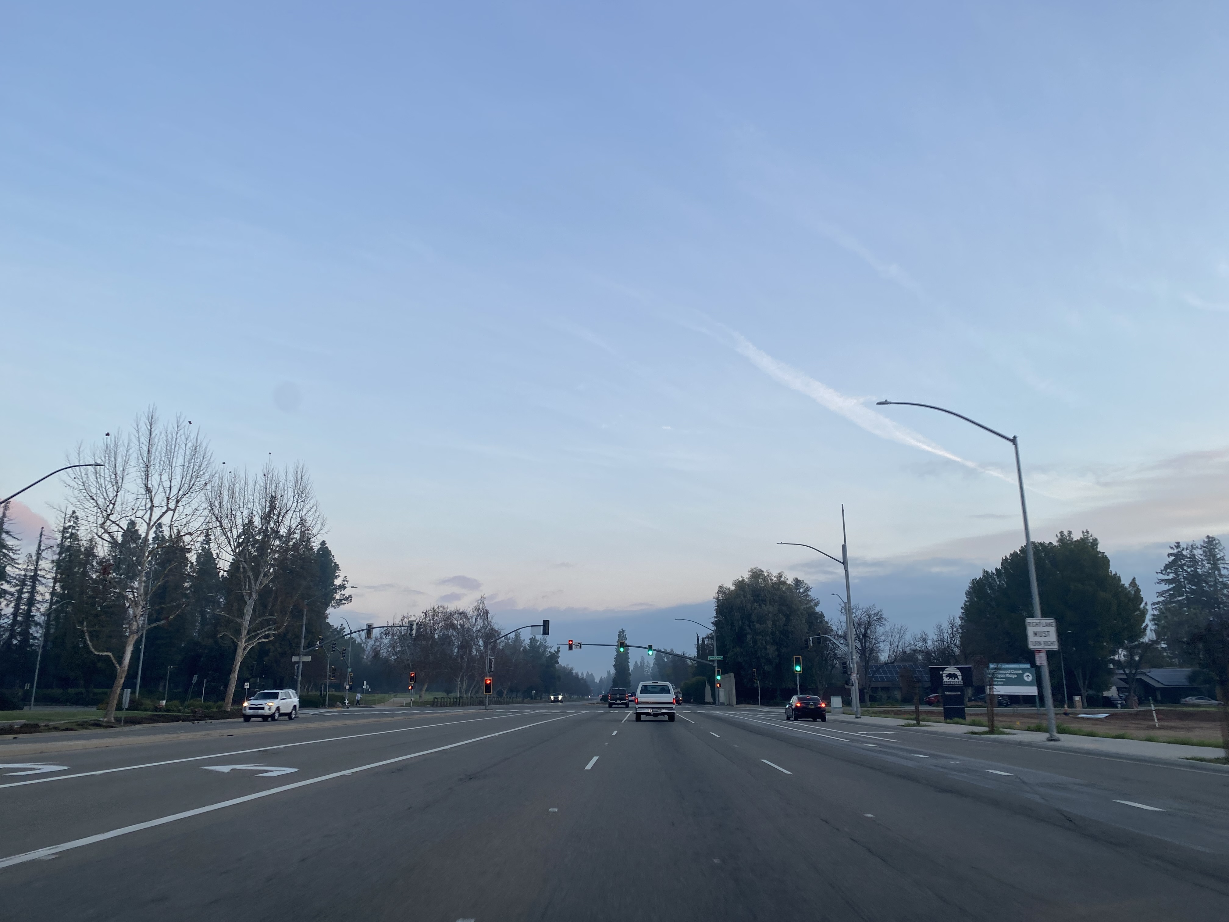
Friant Road northbound intersects Audubon Drive which can used to access Woodward Park. Woodward Park is a 300-acre park owned by the city of Fresno which opened during 1968.
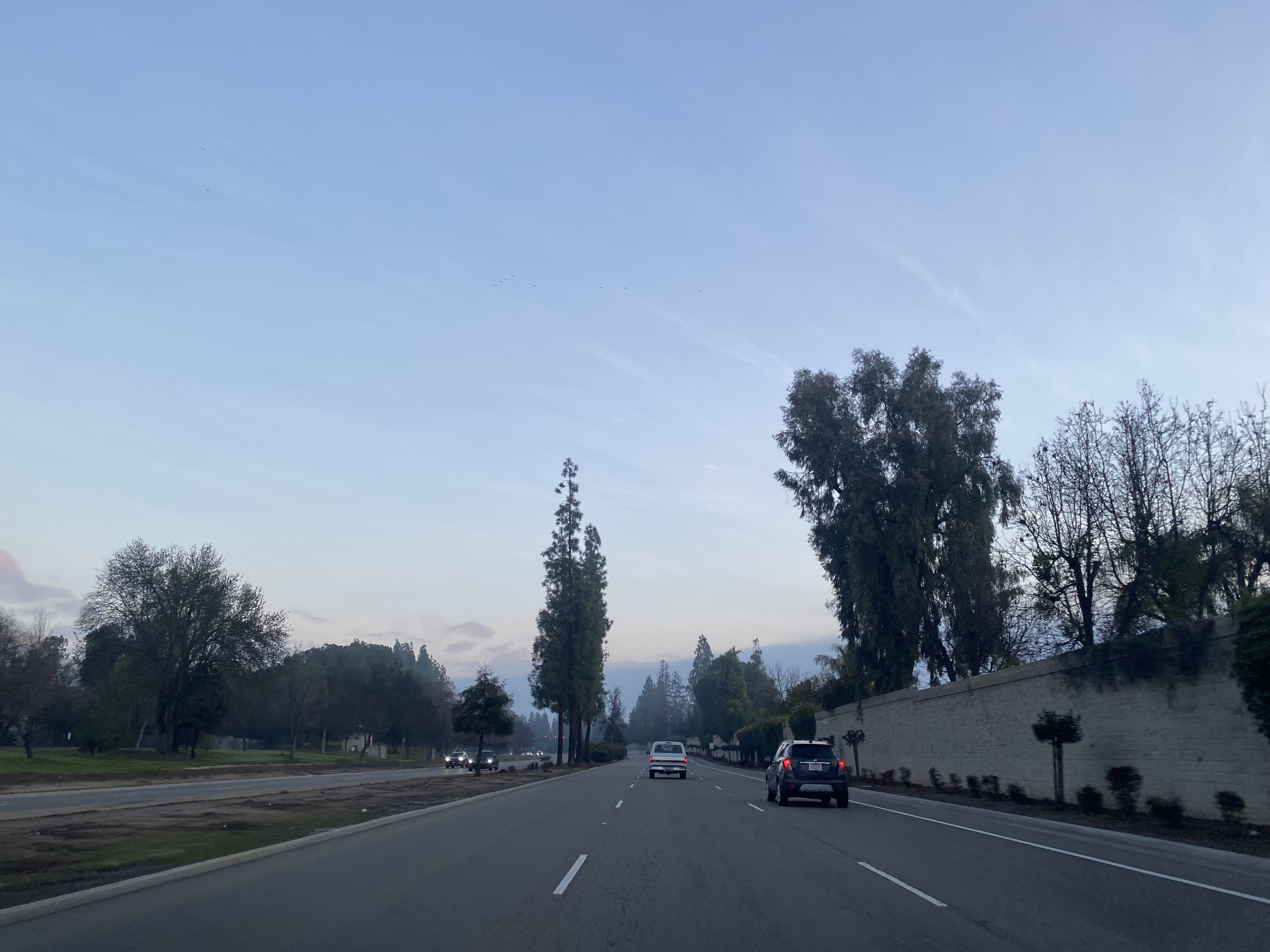
Northbound Friant Road skirts the edge of Woodward Park alongside the Lewis E. Eaton Trail. Friant Road intersects Rice Road which can be used to access Lanes Road and the site of the 1889 Lanes Bridge.
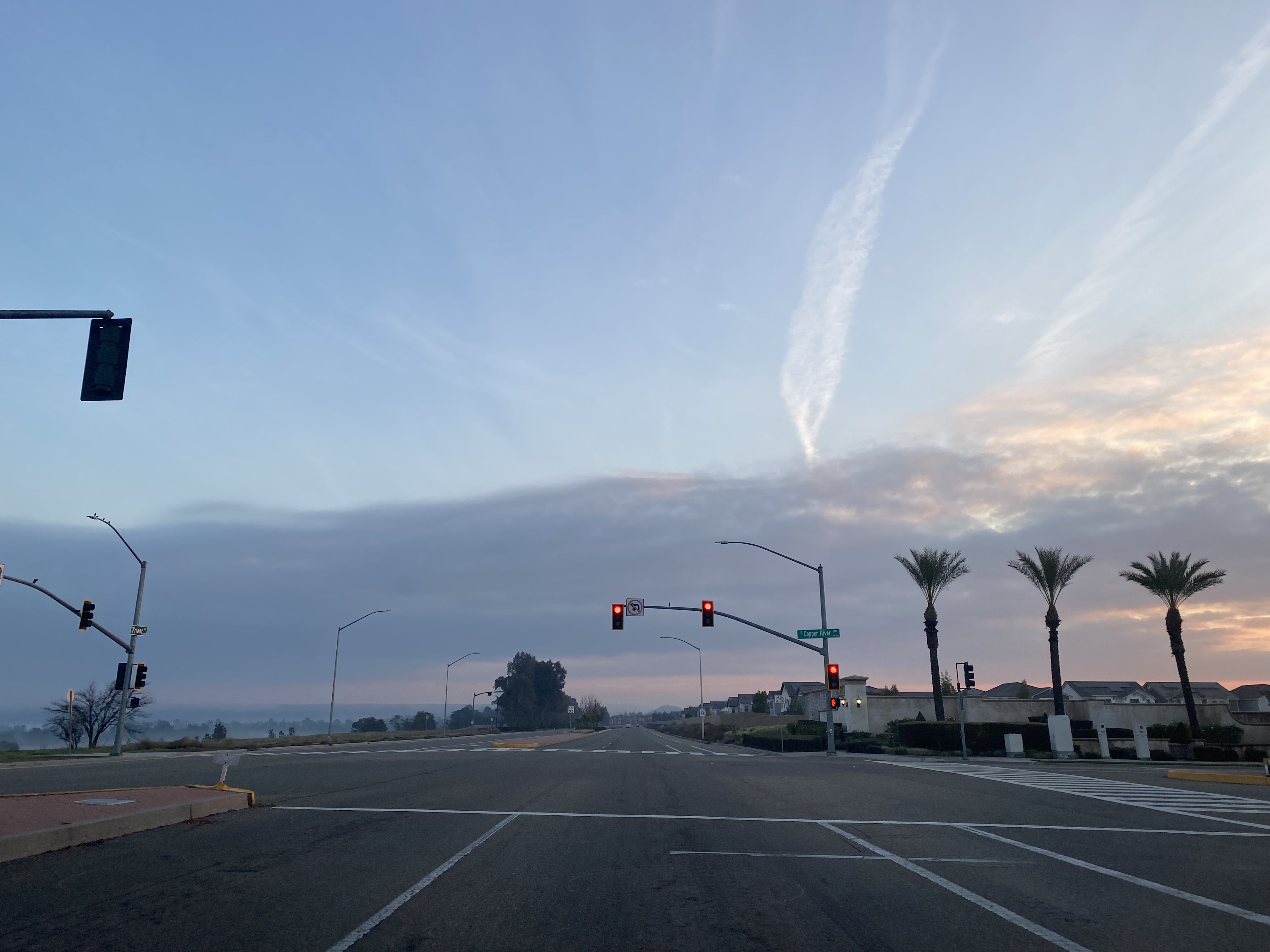
Friant Road northbound leaves the city limits of Fresno as it intersects Copper Avenue and Old Friant Road.
Shortly after departing the city limits of Fresno, northbound Friant Road intersects the opposite end of Old Friant Road.
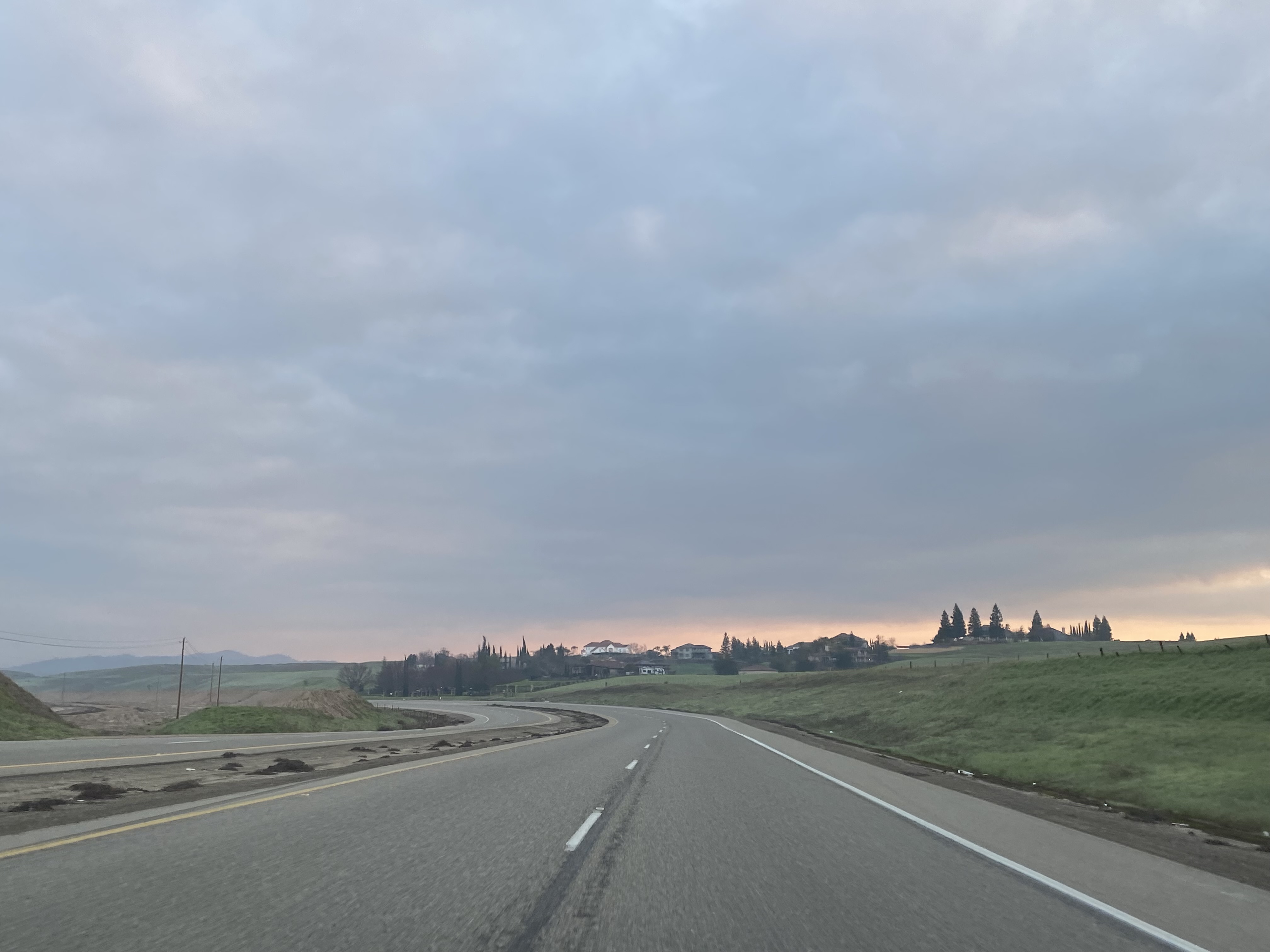
Northbound Friant Road follows a gorge alongside the San Joaquin River and enters the unincorporated community of Friant.
Friant Road northbound passes through Friant to a terminus at the intersection of North Fork Road and Millerton Road. Friant Dam can be seen from the northern terminus of Friant Road.
The 1952 North Fork Road Bridge still connects Friant Road over the San Joaquin River to North Fork Road/Road 206.
The ruins of the 1906 North Fork Road Bridge were never removed from the Madera County side of the San Joaquin River and can be easily observed south of the 1952 replacement span.










Comments