
Pincushion Peak and Sky Harbour Road


Sky Harbour Road is an approximate six-mile highway in the Sierra Nevada Mountains foothills of northern Fresno County.  Sky Harbour Road begins at Millerton Road at Table Mountain Rancheria.  From Millerton Road, Sky Harbour Road follows the eastern shore of Millerton Lake to the South Finegold Picnic Area.  The San Joaquin River Trail and Pincushion Peak Trail are both accessible from the South Finegold Picnic Area.  


Part 1; the history of Sky Harbour Road

The South Finegold Picnic Area is part of the Millerton Lake State Recreation Area.  The Millerton Lake State Recreation Area was formed as part of the completion of Friant Dam during 1944 along the San Joaquin River.  Millerton Lake flooded over the original Fresno County seat of Millerton but opened up numerous recreational opportunities.  

The Finegold Jeep Trail first appears on the 1965 United States Geological Survey Map of Millerton Lake and 1964 United States Geological Survey Map of Friant.  The Finegold Jeep Trail originated at Table Mountain Rancheria at Millerton Road and connected the trailheads for the San Joaquin River Trail and Pincushion Peak Trail.  


The Finegold Jeep Trail appears on the 1980 United States Geological Survey Maps of Millerton Lake and 1982 United States Geological Survey Map of Fresno as a paved road.  It is unclear when the name Sky Harbour Road was designated but it likely was concurrent with the Finegold Jeep Trail being paved.  


Part 2; a drive on Sky Harbour Road and hike up Pincushion Peak

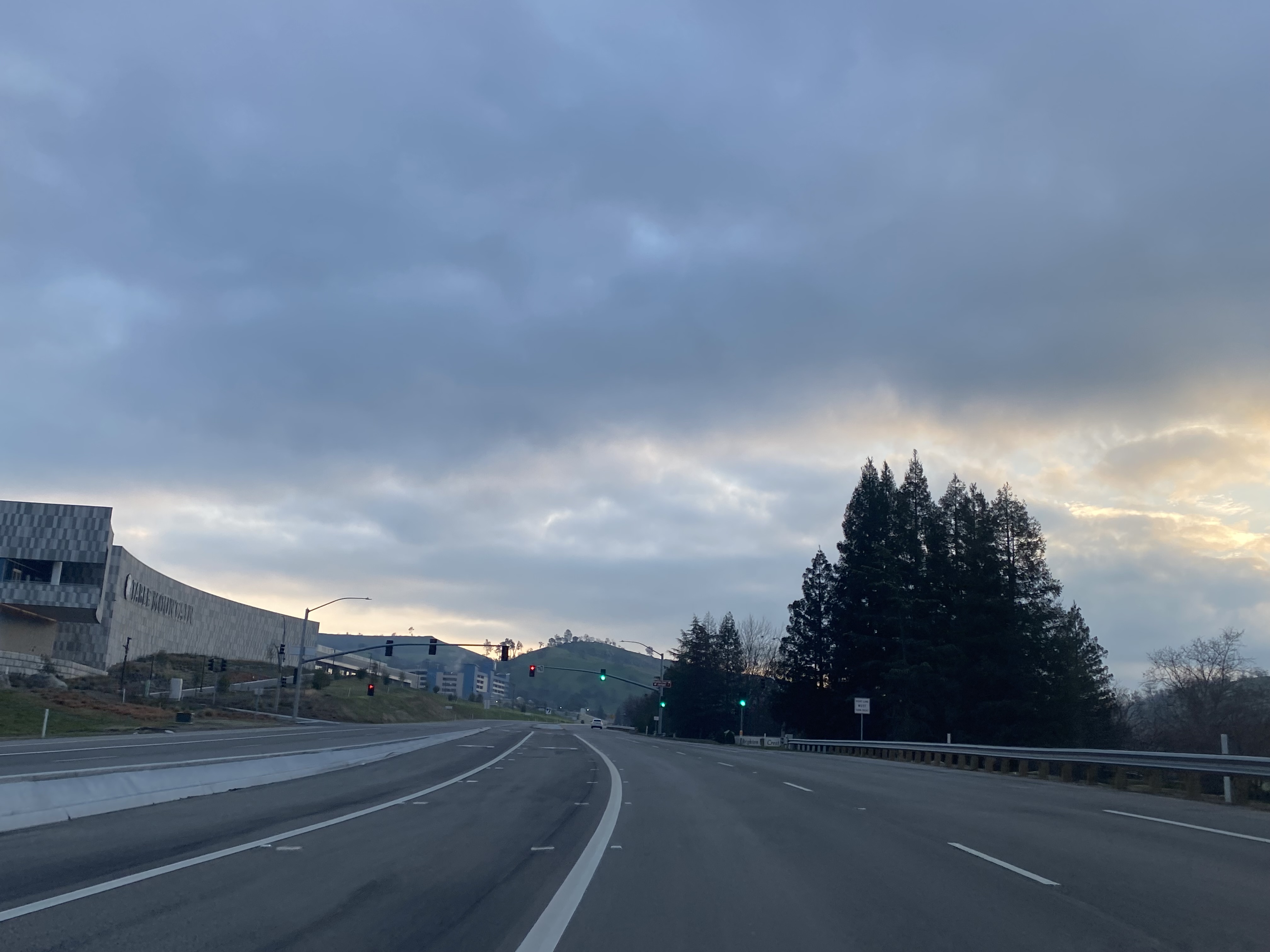
Sky Harbour Road northbound begins from Millerton Road at Table Mountain Rancheria near the entrance to Table Mountain Casino. 


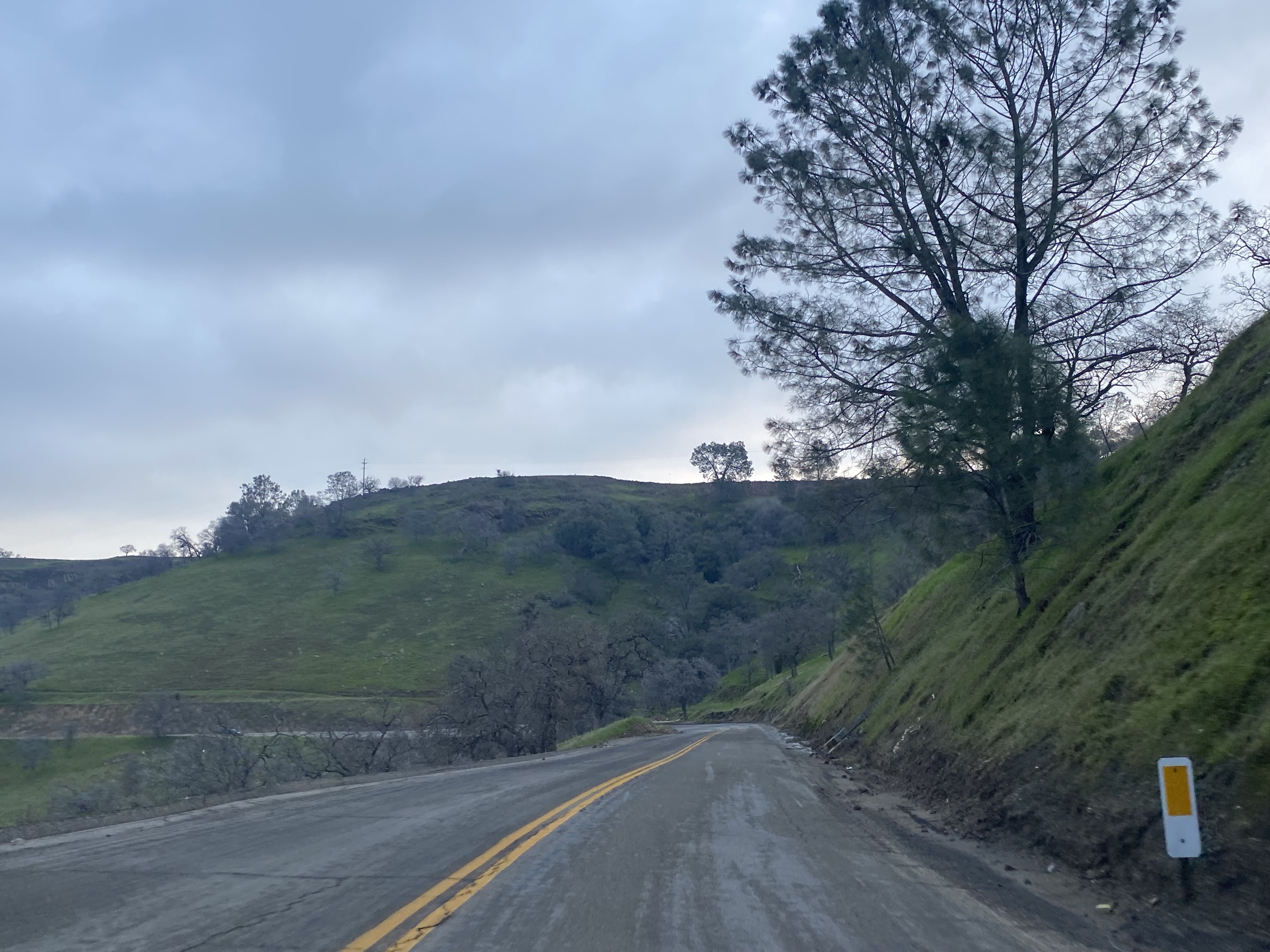
Northbound Sky Harbour Road begins with a climb through an excavated cut which emerges onto a bluff near the Table Mountain Rancheria tribal office.  


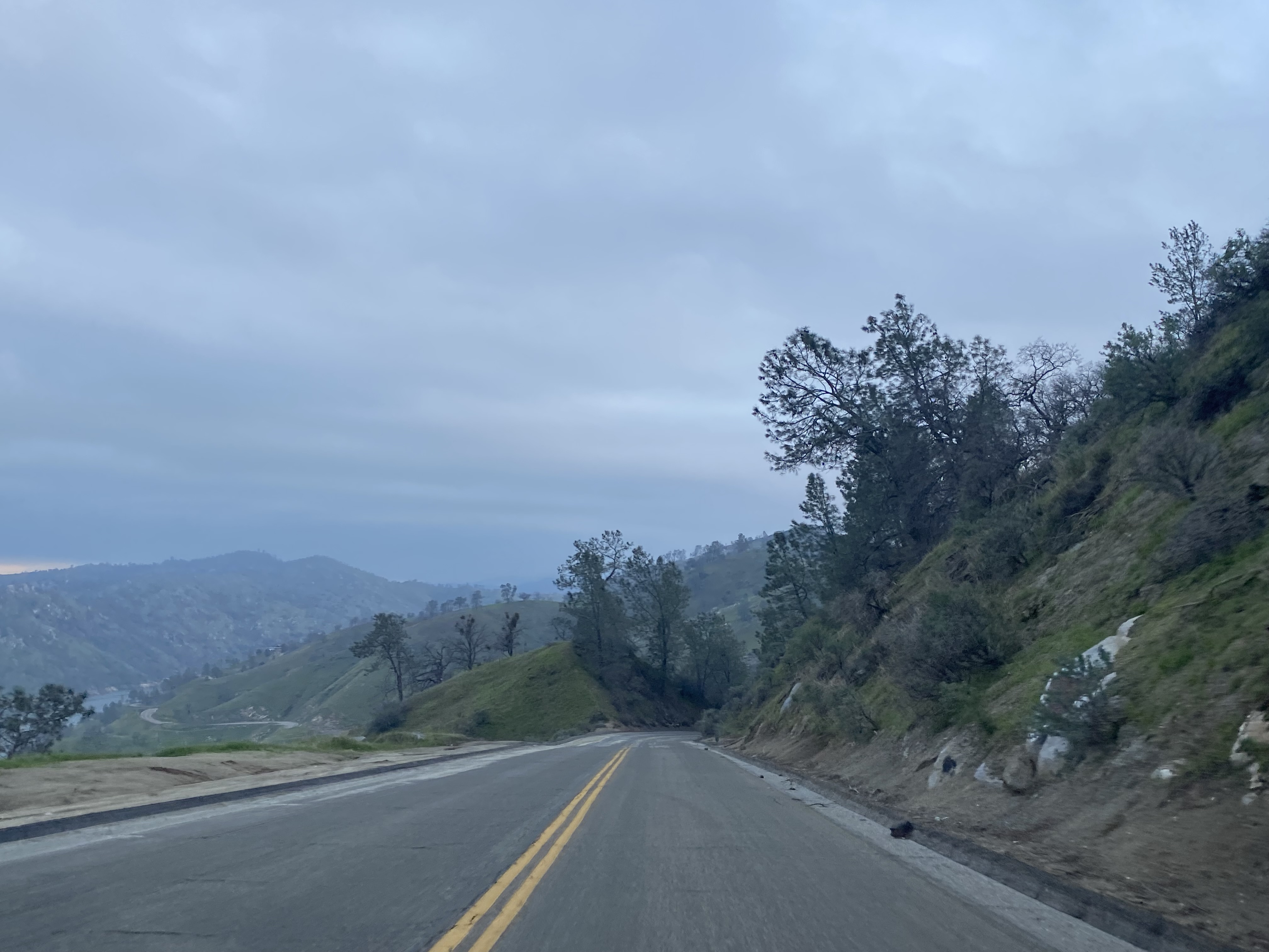
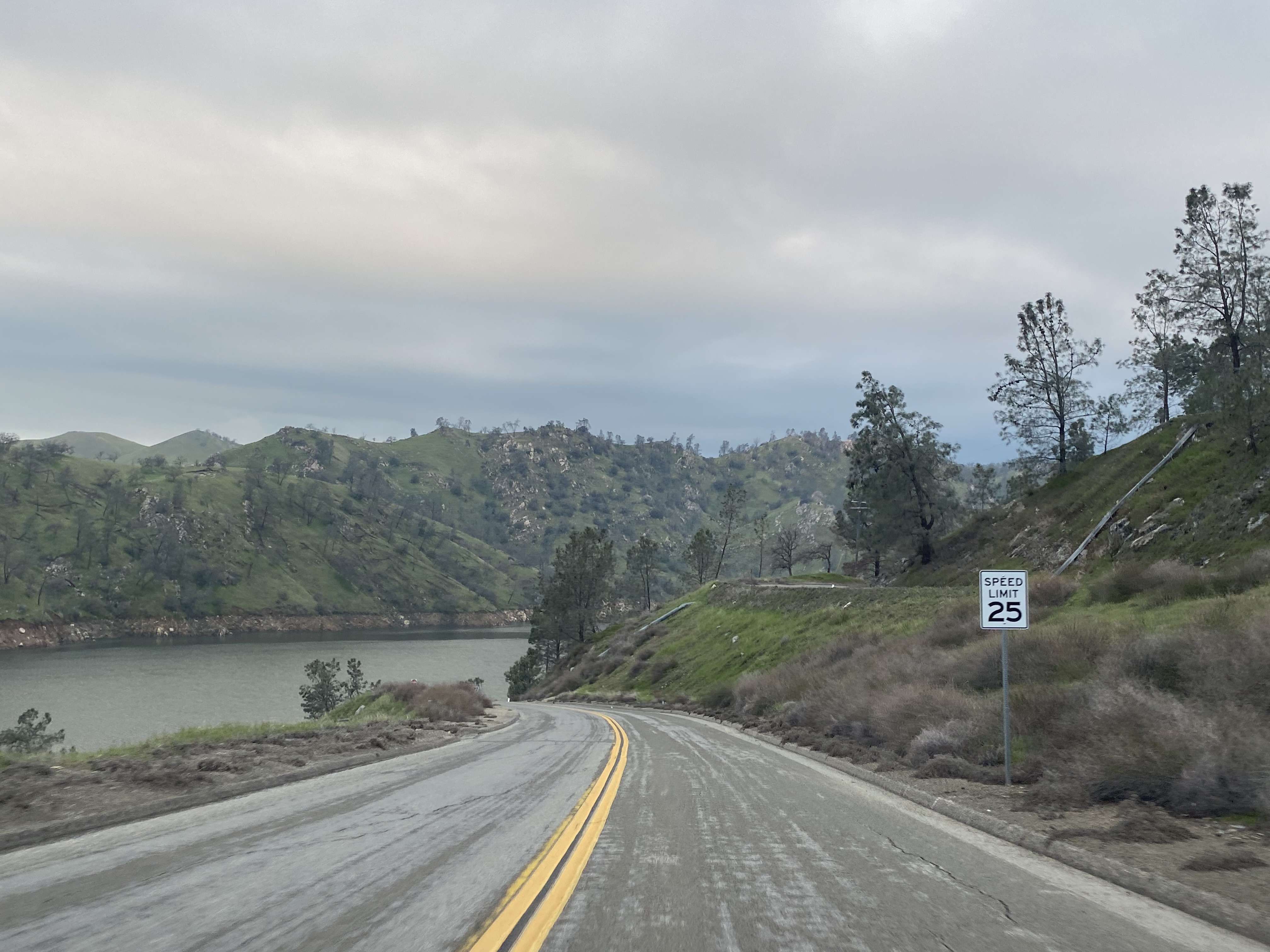
Northbound Sky Harbour Road skirts the edge of the Millerton Lake State Recreation Area and passes by the southern trailhead of the Pincushion Peak Trail. 


Sky Harbour Road passes through a series of lakeside homes and ends at the gate for the South Finegold Picnic Area.  


Pincushion Peak is listed as 1.2 miles from the San Joaquin River Trailhead.  


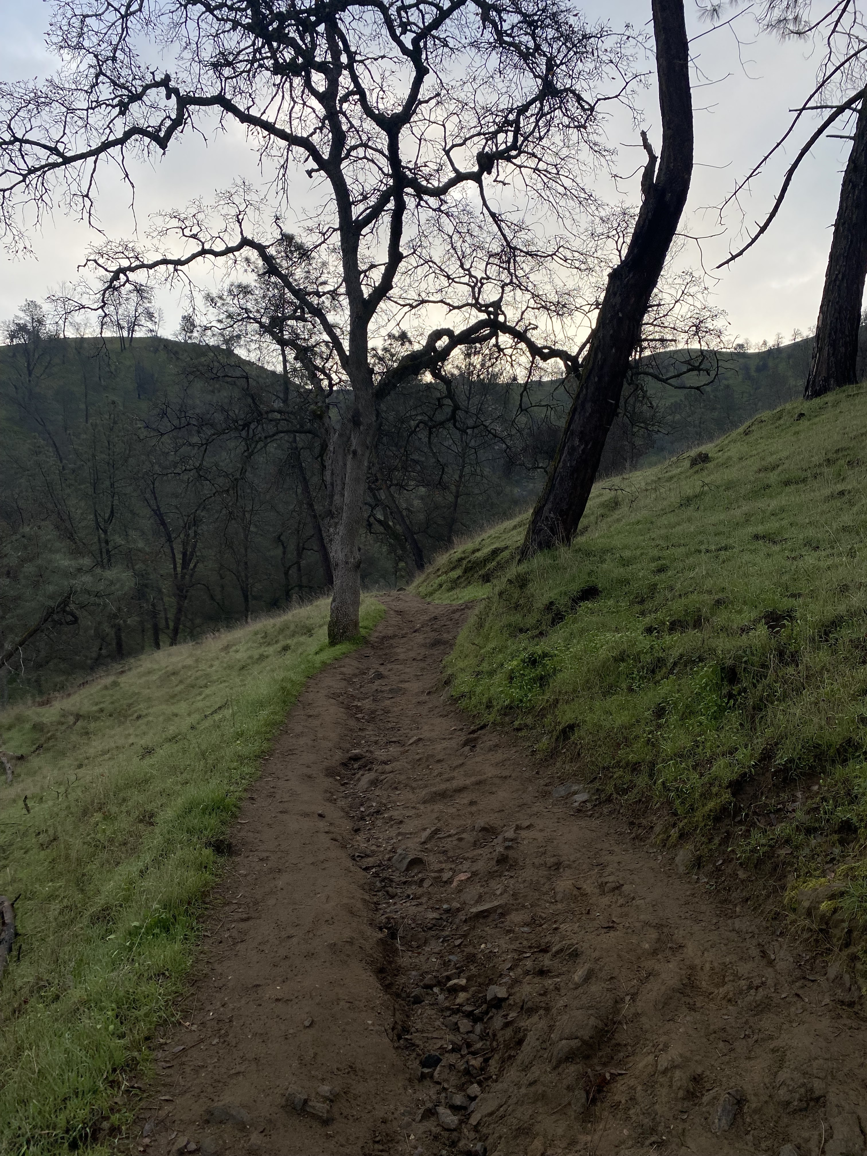
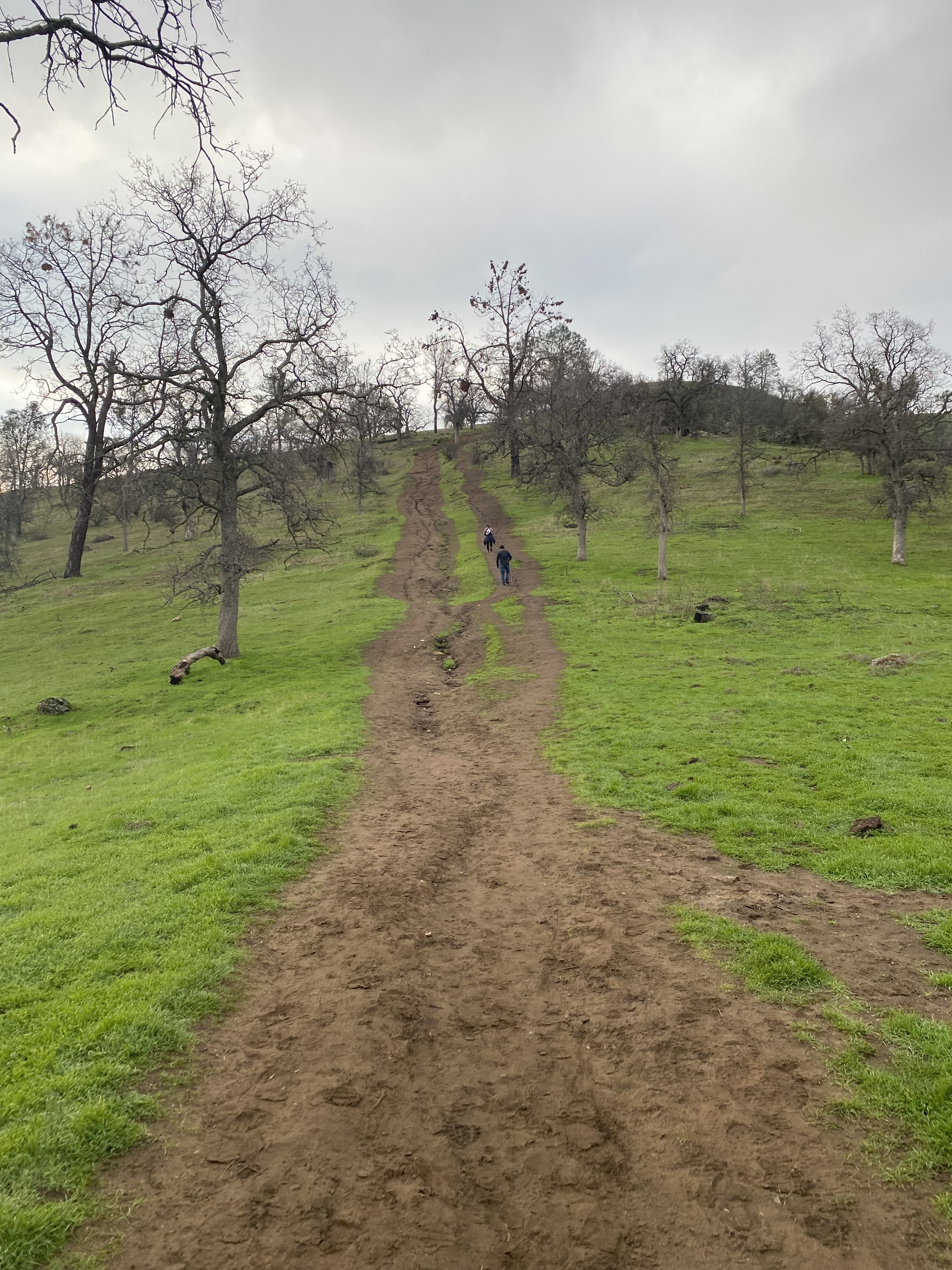
The San Joaquin River Trail gradually climbs to the unmarked north trailhead for the Pincushion Peak Trailhead.  The right branch on the last photo below is the north trailhead towards Pincushion Peak. 


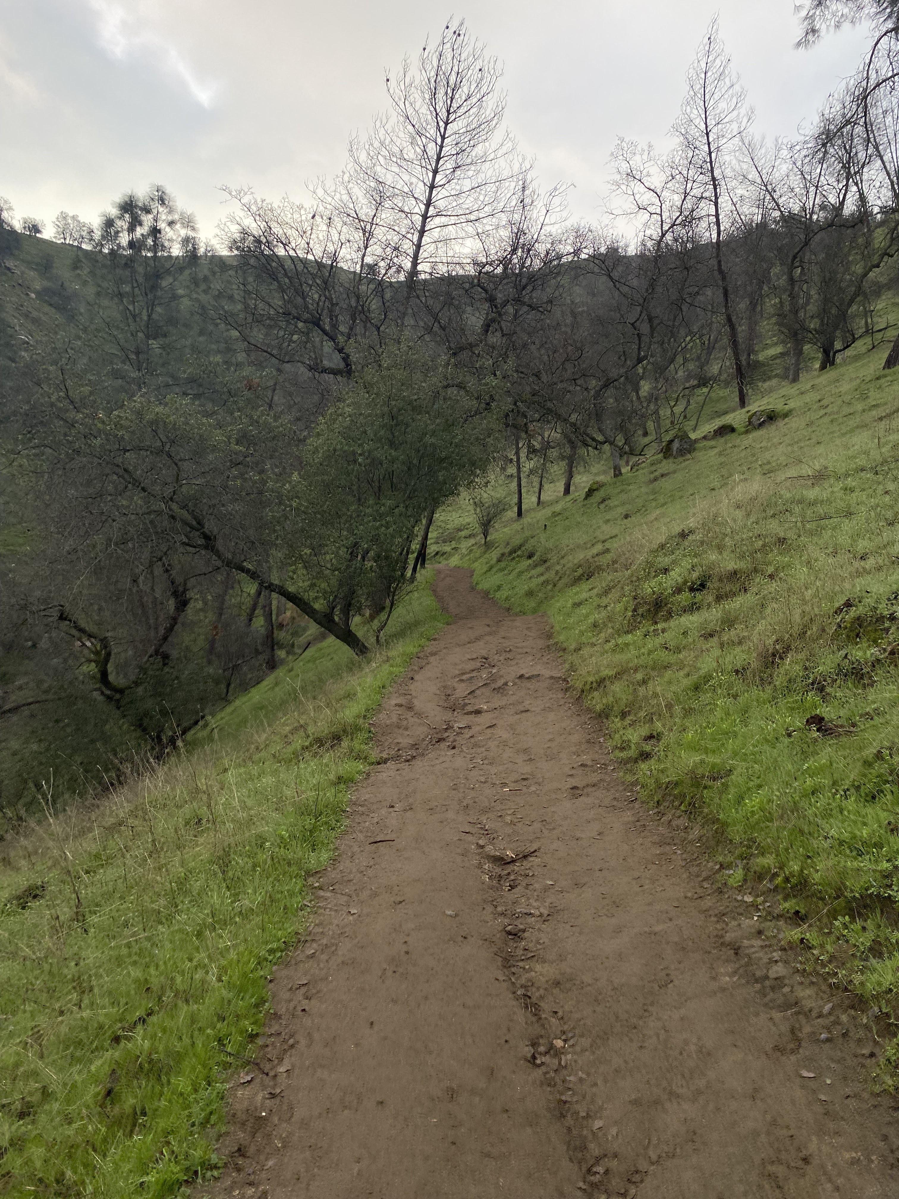
From the San Joaquin River Trail, the trail up to Pincushion Peak is heavily inclined and gains approximately 500 feet in elevation in less than a half mile.  


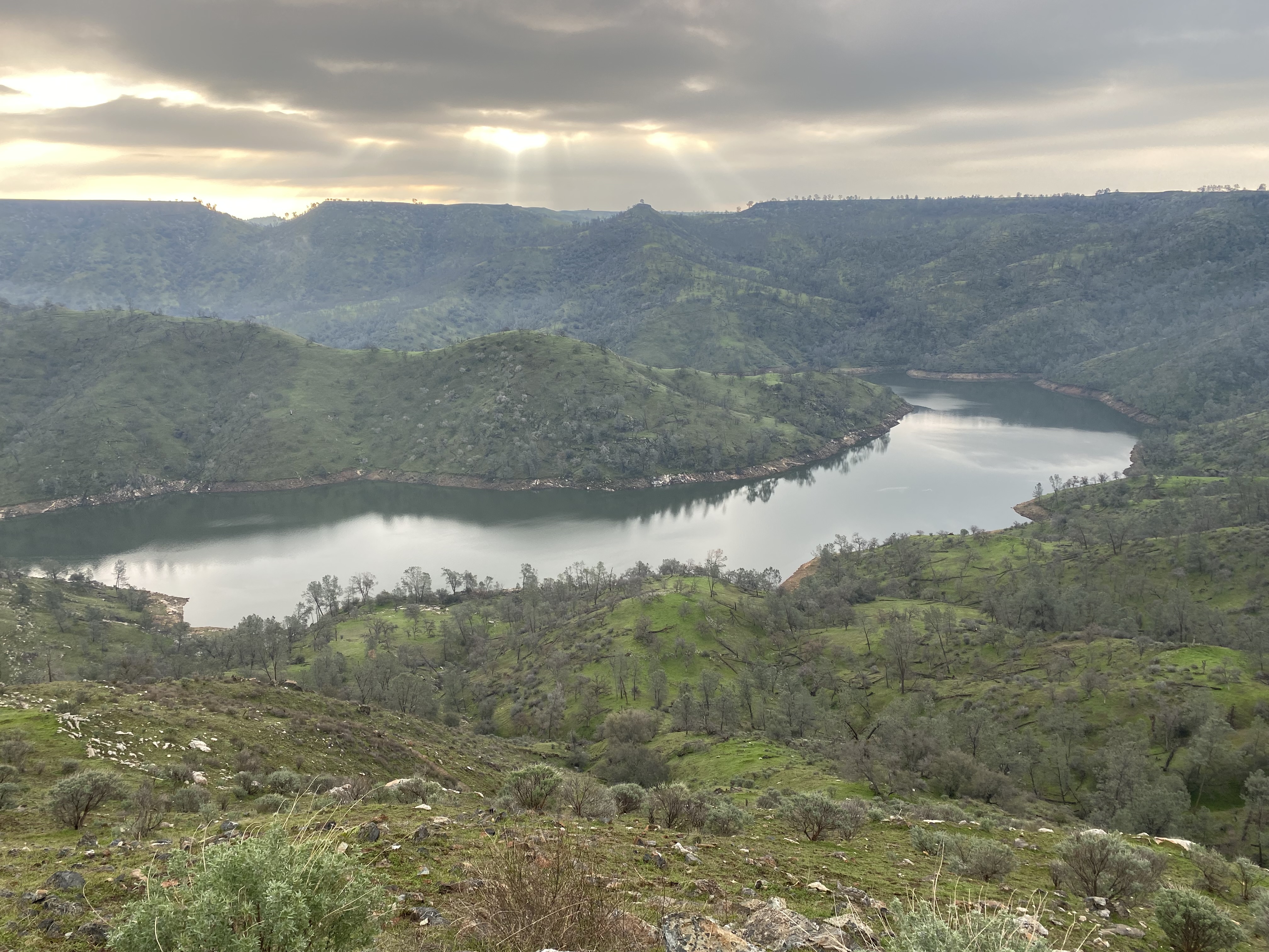
From Pincushion Peak there are unobstructed vistas of the San Joaquin River Gorge and Millerton Lake.


Comments

Popular posts from this blog

North Carolina Continues to Move Forward with Rail

2023 and the first half of 2024 have seen continued growth in North Carolina's passenger rail system.  From increased daily trains from Raleigh to Charlotte, federal funds for studying additional corridors, and receiving a historic grant to begin the construction of high-speed rail between Raleigh and Richmond, the last 18 months have been a flurry of activity at NCDOT's Rail Division.  And that's just the tip of the iceberg. As ridership and routes increase - the engine of North Carolina passenger rail trains will become a more common sight. (Adam Prince) Increased Passenger Train Service: On July 10, 2023, a fourth Piedmont round-trip rail service between Raleigh and Charlotte commenced.  The four Piedmont trains plus the daily Carolinian (to Washington, DC, and New York) bring the total of trains serving the two cities daily to five. The current daily Piedmont and Carolinian schedule between Charlotte and Raleigh (NCDOT) The result was over 641,000 passengers utilized pa

US Route 101 in Benbow, Garberville and Redway

The communities of Benbow, Garberville and Redway can all be found along US Route 101 within southern Humboldt County.  The former surface alignment of US Route 101 in Garberville and Redway once crossed the Garberville Bluffs along what is now Redwood Drive via a corridor constructed as part of the Redwood Highway during the 1910s.  US Route 101 through Benbow, Garberville and Redway was modernized by 1935.  US Route 101 would eventually be upgraded to freeway standards in Benbow, Garberville and Redway by extension of the Redwood Freeway during 1966-68.  As the cover photo the original grade of US Route 101 and the Redwood Highway can be seen at the Garberville Bluffs during 1934.  US Route 101 can be seen in the communities of Benbow, Garberville and Redway on the 1935 Division of Highways Map of Humboldt County .   The history of US Route 101 in Benbow, Garberville and Redway Benbow, Garberville and Redway lie on the banks of the South Fork Eel River of southern Humboldt County.  D

The Midway Palm and Pine of US Route 99

Along modern day California State Route 99 south of Avenue 11 just outside the City limits of Madera one can find the Midway Palm and Pine in the center median of the freeway.  The Midway Palm and Pine denotes the halfway point between the Mexican Border and Oregon State Line on what was US Route 99.  The Midway Palm is intended to represent Southern California whereas the Midway Pine is intended to represent Northern California.  Pictured above the Midway Palm and Pine can be seen from the northbound lanes of the California State Route 99 Freeway.   This blog is part of the larger Gribblenation US Route 99 Page.  For more information pertaining to the other various segments of US Route 99 and it's three-digit child routes check out the link the below. Gribblenation US Route 99 Page The history of the Midway Palm and Pine The true timeframe for when the Midway Palm and Pine (originally a Deadora Cedar Tree) were planted is unknown.  In fact, the origin of the Midway Palm and Pine w