
California State Route 247 is an approximately 78-mile State Highway located in the Mojave Desert of San Bernardino County. The first segment of California State Route 247 begins at California State Route 62 in Yucca Valley and terminates at California State Route 18 in Lucerne Valley via Old Woman Springs Road. The second segment of California State Route 247 begins at California State Route 18 in Lucerne Valley and follows Barstow Road to Interstate 15 in Barstow. The definition of the two segments of California State Route 247 creates an odd situation where California State Route 247 crosses over itself in Lucerne Valley at the intersection of Old Woman Springs Road and Barstow Road. California State Route 247 was constructed to State Highway standards during the early 1970s.

Part 1; the history of California State Route 247
As noted in the introduction, California State Route 247 is comprised of Old Woman Springs Road and Barstow Road. Both Old Woman Springs Road and Barstow Road appear on the 1935 Division of Highways Map of San Bernardino County as major county highways.

Old Woman Springs Road certainly ranks as one of the strangest road names in the California. The name comes from the Old Woman Springs which was located in the 1850s by Colonel Henry Washington along what is now California State Route 247. As the story goes the springs were well known to local tribes and the name came from the frequent visits made by elderly tribal women. More on the story behind the name of Old Woman Springs Road can be found on desertusa.com.
desertusa.com on Old Woman Springs
desertusa.com on Old Woman Springs
What was to become California State Route 247 along Old Woman Springs Road was defined by 1959 Legislative Chapter 1062. Legislative Chapter 1062 extended Legislative Route Number 187 (LRN 187) from Morongo Valley to Lucerne Valley. The Morongo Valley-Lucerne Valley segment of LRN 187 was initially defined as part of the Freeways & Expressways System. The Morongo Valley-Lucerne Valley segment of LRN 187 appears for the first time on the 1960 Division of Highways Map as a planned State Highway.


The two defined segments of California State Route 247 created a crossover in Lucerne Valley. California State Route 247 continues west of Barstow Road along Old Woman Springs Road to California State Route 18 via approximately Postmiles SBD 44.615-44.85. The Postmiles along California State Route 18 begin to ascend again from California State Route 18 at Postmile SBR 44.86 northward on Barstow Road towards Barstow. Normally a situation like this would be handled with "S" prefix Postmiles to denote a Spur State Highway.


1994 Legislative Chapter 1220 clarified the north terminus of California State Route 247 as being located at Interstate 15 in Barstow instead of near it.
Part 2; a drive on California State Route 247
California State Route 247 southbound begins from Interstate 15 Exit 183 towards Barstow Road.


California State Route 247 southbound departs the city limits of Barstow along Barstow Road.


California State Route 247 southbound along Barstow Road passes by Slash Ranch X Cafe at Postmile SBD 68.958.


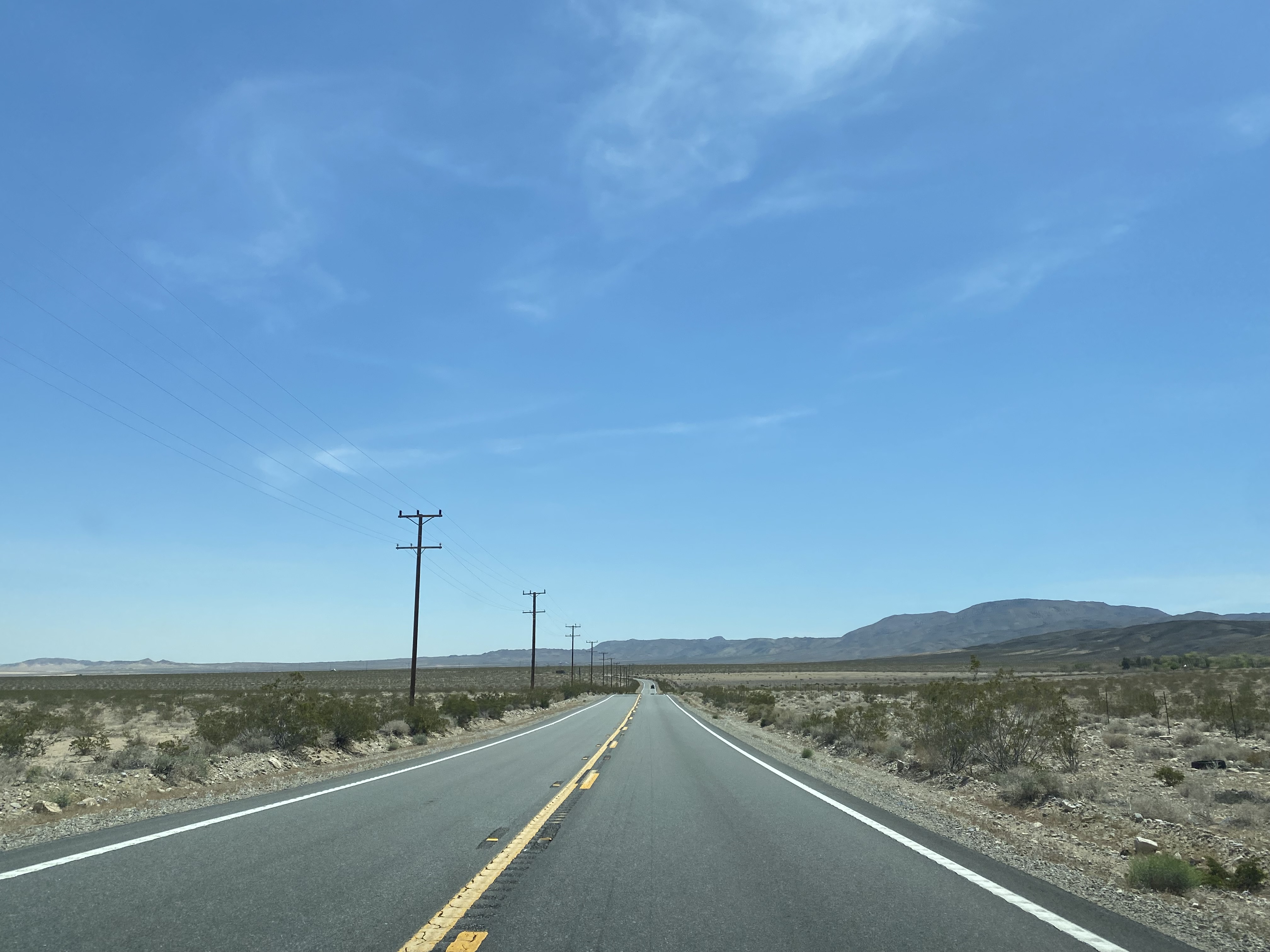
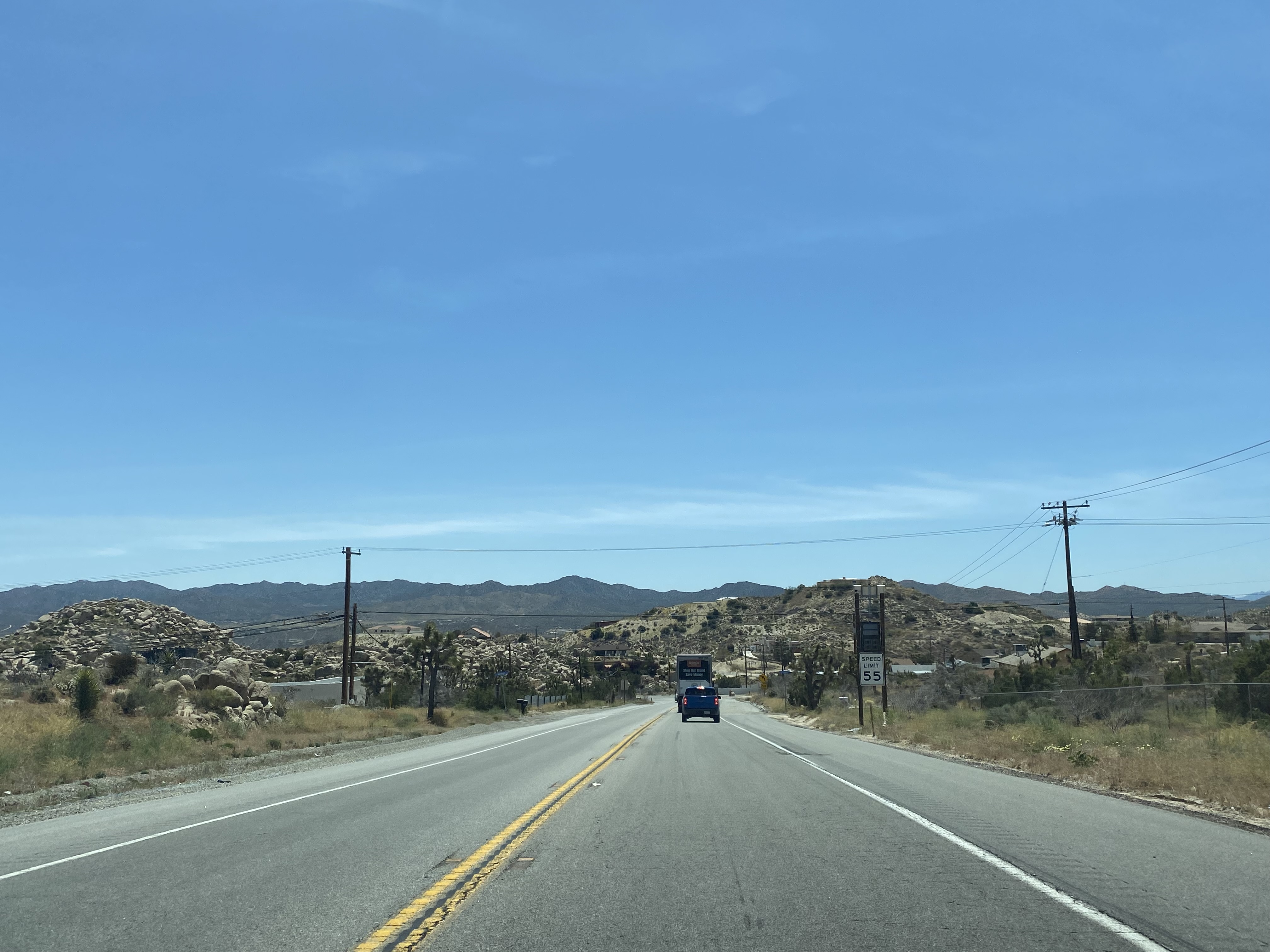
California State Route 247 southbound crosses an unnamed 4,148-foot elevation summit.


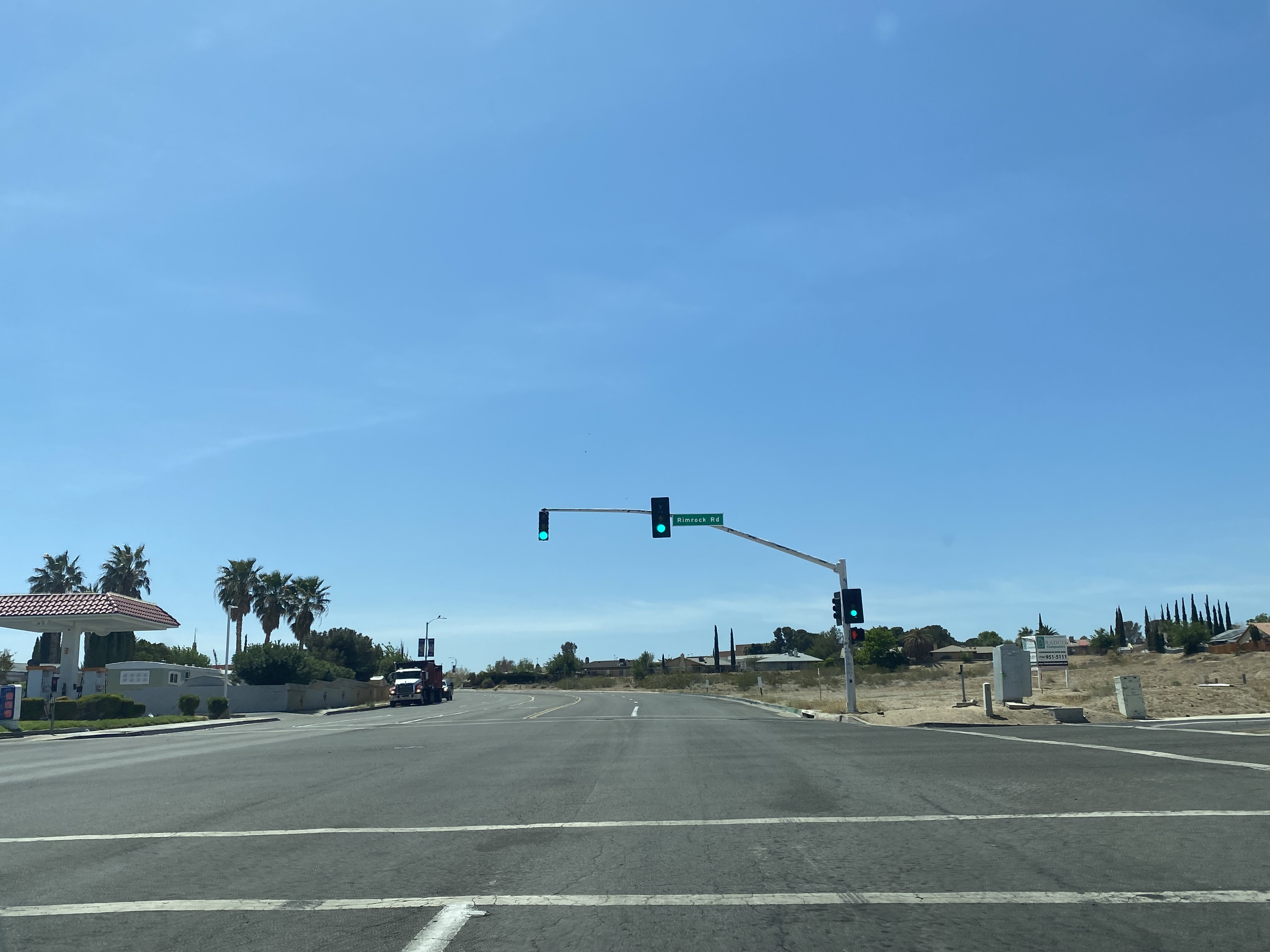
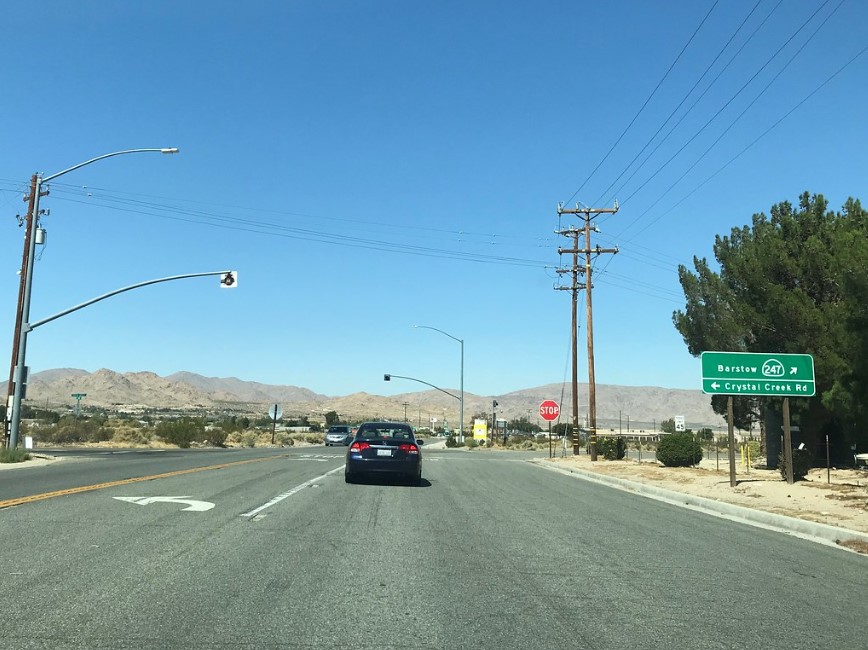
California State Route 247 southbound follows Barstow Road into Lucerne Valley where it intersects Old Woman Springs Road at Postmile SBD 45.1. Southbound California State Route 247 is directed to turn left onto Old Woman Springs Road towards Yucca Valley. Traffic heading towards Big Bear is directed to California State Route 247 along Barstow Road which is signed as "To California State Route 18" along Route 247 Postmiles SBD 45.1-44.86. Traffic heading towards Victorville is directed west along Old Woman Springs Road as "To California State Route 18" along Route 247 Postmiles SBD 44.615-44.85.


Along California State Route 18 descending from Big Bear traffic is advised Barstow Road is part of California State Route 247.
From California State Route 18 entering Lucerne Valley from Big Bear, Old Woman Springs Road is also signed California State Route 247. California State Route 247 along Old Woman Springs Road is signed as 34 miles from Landers and 44 miles from Yucca Valley.

Cafe 247 can be at the northwest corner of the Barstow Road and Old Woman Springs Road intersection in Lucerne Valley.


California State Route 247 southbound follows Old Woman Springs Road and enters Landers at approximately Postmile SBD 9.91.


The Safety Corridor along California State Route 247 ends south of Landers. California State Route 247 departing Landers is signed as the Deputy Greg A. Gariepy Memorial Highway.


California State Route 247 follows Old Spring Springs southbound and terminates at California State Route 62 in Yucca Valley.


- Originally published on 4/23/2019.
- First updated on 5/17/2023.
Comments