
The last covered bridges of the California State Highway System (California State Route 96)


California has numerous covered bridges which once served the highways and roads of the State.  In modern times most of the existing covered bridges in California have been converted to pedestrian use and a state of preservation.  The California State Highway System had two covered bridge holdouts which were active on California State Route 96 in Siskiyou County until 1950.  This blog examines the history of the Dillon Creek and Clear Creek Covered Bridges which were the last two structures of their kind on a California State Highway System.  Pictured above as the blog cover is the Dillon Creek Covered Bridge as it was prior to being demolished during 1950.  


The history of the Dillon Creek and Clear Creek Covered Bridges

What is now California State Route 96, and the Klamath River Highway was first defined by the 1919 Third State Highway Bond Act as Legislative Route Number 46 (LRN 46).  The original definition of LRN 46 was as follows:

"Klamath River Bridge on LRN 3 (future US Route 99) to LRN 1 (future US Route 101)"

The planned route of LRN 46 and the Klamath River Highway appears on the 1920 California Highway Commission Map.  


The August 1934 California Highways and Public Works announced the original run of Sign State Routes.  The entirety of LRN 46 and the Klamath River Highway was assigned as California State Route 96.  The attached article map displays California State Route 96 being applied over the completed portions of LRN 46 and the Klamath River Highway.  The Klamath River Highway between Klamath Glen and the Yurok Reservation ultimately was never constructed.  


The November/December 1950 California Highways & Public Works contains an article regarding the removal of the last two covered bridges from the State Highway System. The Clear Creek and Dillon Creek Covered Bridges are noted to have been located on California State Route 96 in Siskiyou County. The Clear Creek and Dillon Creek Covered Bridges were constructed during 1921-1922 by the United States Bureau of Public Roads when the Klamath River Highway was in a primitive state of repair. The Clear Creek Covered Bridge is noted to have been built with an eleven-foot-wide road deck whereas the Dillon Creek Covered Bridge had a fifteen-foot nine-inch-wide road deck. The modernized spans over Dillon Creek and Clear Creek are displayed in contrast to their covered bridge predecessors.


The modern Clear Creek Bridge can be found on California State Route 96 at Postmile SIS 32.65.


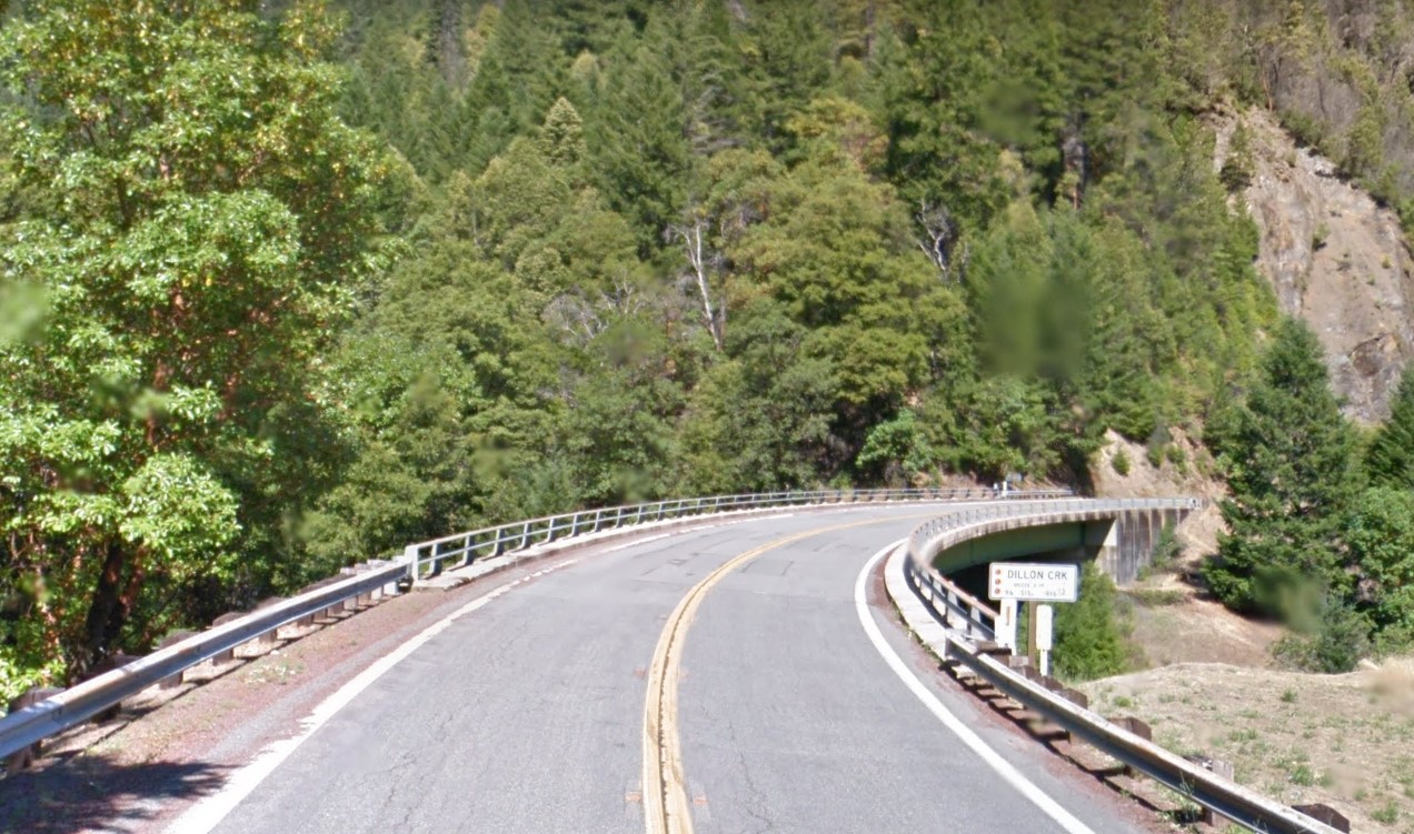
The modern Dillon Creek Bridge can be found on California State Route 96 at Postmile SIS R16.18.

Comments

Popular posts from this blog

Crescent City Connection (New Orleans, LA)

The Crescent City Connection is a massive dual-span steel truss bridge that spans the lower Mississippi River at downtown New Orleans, about 95 river miles upstream from the mouth of the great river at the Head of Passes Light. If counted as a single bi-directional highway bridge, the parallel spans combine to form the single busiest bridge on the Mississippi River and its importance as a linchpin in the region’s transportation network cannot be overstated. While there have been various schemes over the years to construct bridges downriver from Algiers Point, this bridge has been the southernmost bridge on the Mississippi River since its initial construction in the 1950s. The years immediately following the end of World War II were a transformational period in the history of New Orleans. Already one of the great economic and cultural centers of the American Deep South, it was recognized at this time that major changes and improvements to the city’s transportation infrastructure would b...

Old US Route 99 through Tipton, Tulare, and Tagus Ranch

This summer I had a look into the alignment history of US Route 99 through the Tulare County communities of Tipton, Tulare, and Tagus Ranch.  While this slab below might seem like much it is one of the few remaining reminders of how US Route 99 was during the 1920s in Tulare County. This blog is part of the larger Gribblenation US Route 99 Page.  For more information pertaining to the other various segments of US Route 99 and it's three-digit child routes check out the link the below. Gribblenation US Route 99 Page Part 1; the history of US Route 99 in Tipton, Tulare, and Tagus Ranch Tipton and Tulare were both founded in 1872 as sidings of the Southern Pacific Railroad.  The Southern Pacific Railroad laid the groundwork for development of southern San Joaquin Valley.  Previous to the Southern Pacific Railroad travel via wagon or foot in Central California tended to avoid San Joaquin Valley in favor of the Stockton-Los Angeles Road.  The Stockton Los Ange...

Former US Route 101 and California State Route 41 through Paso Robles

Paso Robles is a city located on the Salinas River of San Luis Obispo County, California.  As originally configured the surface alignments of US Route 101 and California State Route 41 converged in downtown Paso Robles.  US Route 101 originally was aligned through Paso Robles via Spring Street.  California State Route 41 entered the City of Paso Robles via Union Road and 13th Street where it intersected US Route 101 at Spring Street.  US Route 101 and California State Route 41 departed Paso Robles southbound via a multiplex which split near Templeton.   Pictured above is the cover of the September/October 1957 California Highways & Public Works which features construction of the Paso Robles Bypass.  Pictured below is the 1935 Division of Highways Map of San Luis Obispo County which depicts US Route 101 and California State Route 41 intersecting in downtown Paso Robles.   Part 1; the history of US Route 101 and California State Route 41 i...
