
The Edmonds-Kingston Ferry is a component of Washington State Route 104. The Edmonds-Kingston Ferry carries westbound Washington State Route 104 from Sunset Avenue in Edmonds (Snohomish County) over Puget Sound to Northeast 1st Street in Kingston (Kitsap County). The Edmonds-Kingston Ferry takes approximately thirty minutes to cross Puget Sound and carries approximately 2.1 million vehicles annually.

The Edmonds-Kingston Ferry began on May 16, 1923, as a private venture owned by the Joyce Brothers of Mukilteo. During it's initial run the Edmonds-Kingston Ferry broke down and the first completed ferry trip took place on May 20, 1923 (according to Historic Edmonds). The original ferry vessel on the Edmonds-Kingston Ferry route was 56 feet in length and could only carry 12 vehicles. The initial fare for a one-way trip on the Edmonds-Kingston Ferry was $1.25 and $4 for a round trip.
The Edmonds-Kingston Ferry can be seen on the 1925 Rand McNally Map of Washington State. The western approach to the Edmonds-Kingston Ferry through Kingston is shown to be part of Primary State Highway 21. The eastern approach to the Edmonds-Kingston Ferry is not shown as part of the State Highway System.

During 1931 ferry service from Edmonds to Port Townsend began which was followed by service to Victoria, British Columbia by 1935. The Edmonds-Port Townsend Ferry was short lived and was discontinued during 1939.
During 1937 the Secondary State Highway System was created. Secondary State Highway 1W linked US Route 99 the Edmonds-Kingston Ferry in Edmonds. Primary State Highway 21 and Secondary State Highway 1W can both be seen reaching the terminals of the Edmonds-Kingston Ferry on the 1940 State Farm Insurance Map of Washington State.

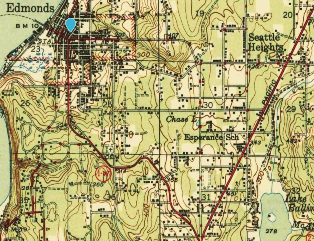
From the landing of the Edmonds-Kingston Ferry the alignment of Secondary State Highway 1W followed Main Street, South 5th Avenue and Edmonds Way through Edmonds to US Route 99. The alignment of Secondary State Highway 1W can be seen on the 1942 United States Geological Survey Map of Edmonds.
On June 1, 1951, the Washington State Ferries System began. The Edmonds-Kingston Ferry was purchased by the State of Washington as of one initial routes in the system. The Edmonds-Kingston Ferry can be seen connecting Primary State Highway 21 and Secondary State Highway 1W on the 1956 Shell Highway Map of Washington.

As part of the 1964 State Highway Renumbering the Edmonds-Kingston Ferry was added to Washington State Route 104. The initial approaching alignments to the Edmonds-Kingston Ferry remained the same as what had been inherited from Primary State Route 21 and Secondary State Route 1W.
During 1974 a new approach alignment to the Edmonds-Kingston Ferry for Washington State Route 104 and holding area was constructed in Edmonds. The new alignment of Washington State Route 104 shifted the highway to what is now an extension of Edmonds Way and Sunset Avenue. Washington State Route 524 was subsequently extended over Main Street from 3rd Avenue North to Sunset Avenue.
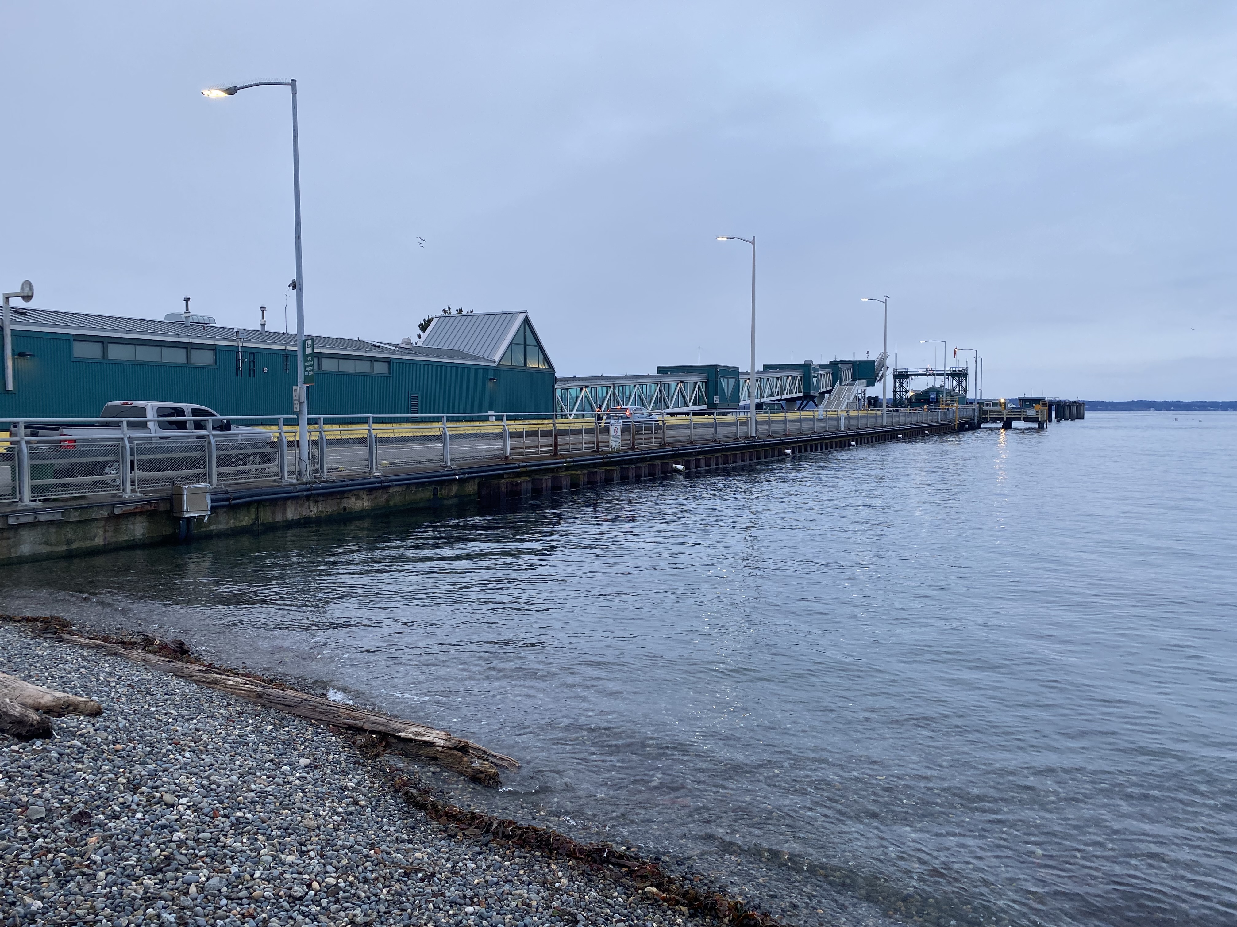
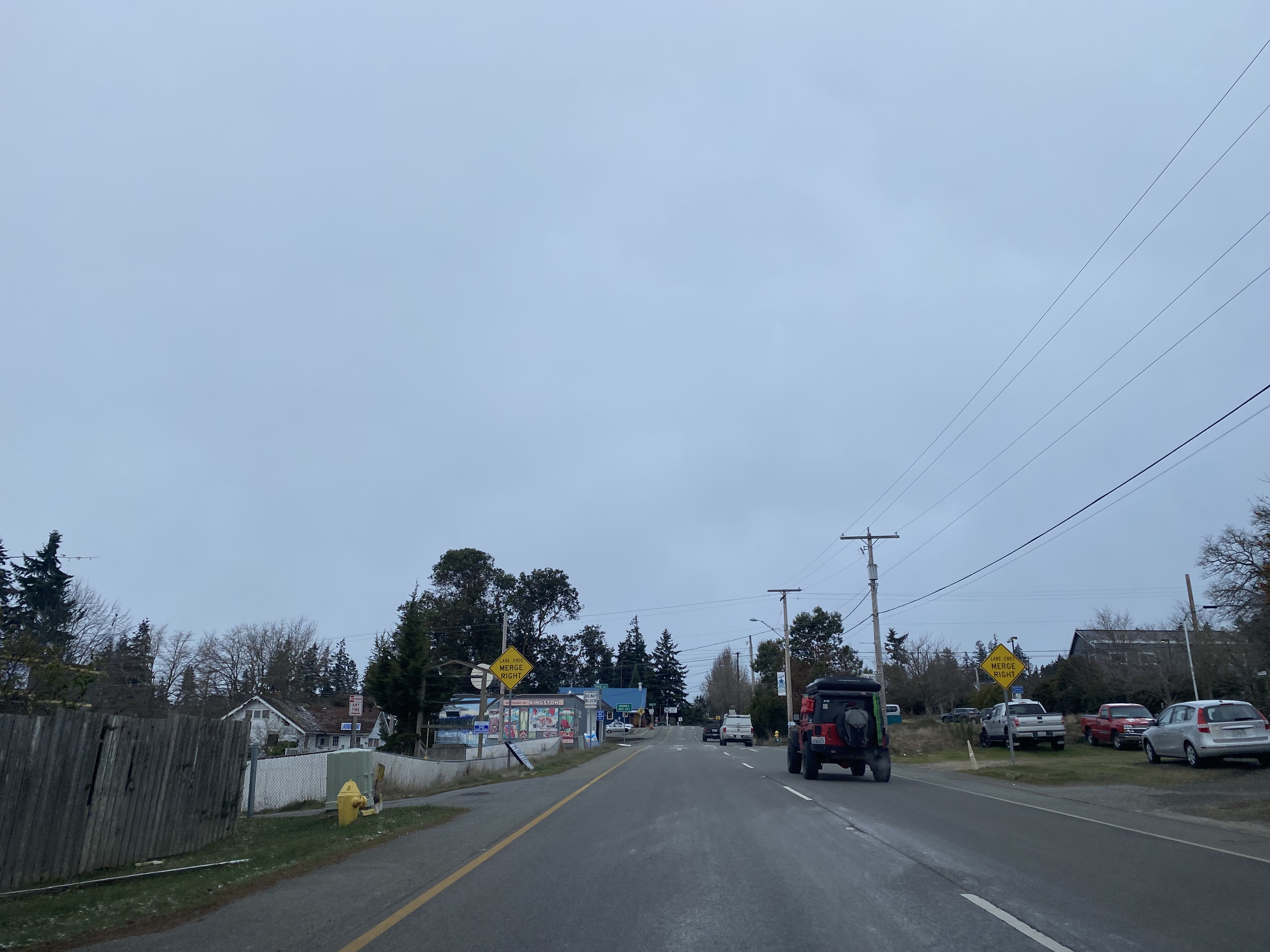
During the 2000s the Edmonds-Kingston Ferry terminal in Kingston was twinned. Westbound Washington State Route 104 traffic now departs the Edmonds-Kingston Ferry via Northeast 1st Street.
Part 2; a ride on the Edmonds-Kingston Ferry
From Interstate 5 traffic can be access the Edmonds-Kingston Ferry by utilizing Exit 177 and transitioning to westbound Washington State Route 104.


Westbound Washington State Route 104 follows Northeast 205th Street into the city of Edmonds and transitions onto Edmonds Way. Washington State Route 104 intersects Washington State Route 99 (former US Route 99) along Edmonds Way.


Washington State Route 104 westbound follows Edmonds Way to a ferry transition ramp approaching South 5th Avenue. Washington State Route 104 westbound no longer can access it's original alignment of South 5th Avenue.


Washington State Route 104 westbound follows Edmonds Way and Sunset Avenue to the Edmonds-Kingston Ferry holding area. Presently the fare for passenger vehicles on the Edmonds-Kingston Ferry is $17.20.


The Edmonds-Kingston Ferry terminal is located next to Brackett's Landing. Brackett's Landing commemorates the site of where logger George Brackett landed during a storm in 1870. George Brackett purchased 147 acres of land during 1872 and settled at his landing site during 1876. A small community known as Brackett's Landing soon developed and eventually expanded into the plotted town site of Edmonds during 1884. The name "Edmonds" was intended to honor George Franklin Edmonds a Senator from Vermont who George Brackett admired. Edmonds would go on to incorporate as a city on August 14, 1890.
From Brackett's Landing the Edmonds-Kingston Ferry terminal, Whidbey Island and Kitsap Peninsula can be observed. Numerous historical plaques can also be found at Brackett's Landing.


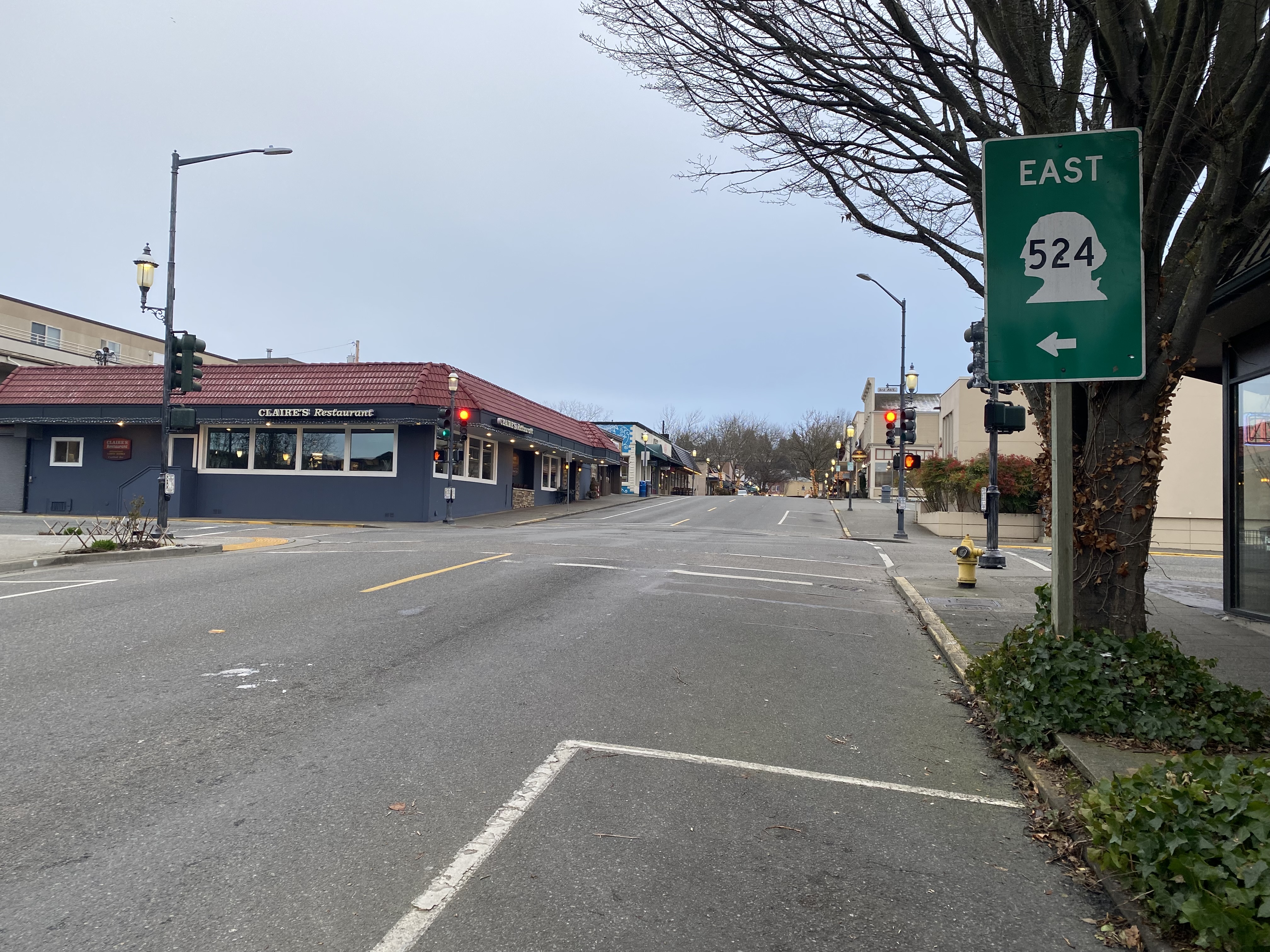
The view on eastbound Washington State Route 104 from the Edmonds-Kingston Ferry faces towards unsigned Washington State Route 524 on Main Street.

The first eastbound Washington State Route 524 reassurance shield can be found on Main Street at 3rd Avenue North.


Comments