
Old Stage Road is an approximately 30-mile rural highway comprised of Tulare County Mountain Road 1, Kern County Mountain Road 447 and Tulare County Mountain Road 109. Old Stage originates at Jack Ranch Road near Posey and ends at the outskirts of Porterville at Deer Creek. Old Stage Road notably is comprised of two 19th Century stage routes. From White Mountain Road northwest to Fountain Springs, Old Stage Road overlays Thomas Baker's 1860s era stage road to Linn Valley (now Glennville) and the Kern River Gold Rush Claims. From Fountain Springs to Deer Creek, Old Stage Road is comprised of the 1853 Stockton-Los Angeles Road.
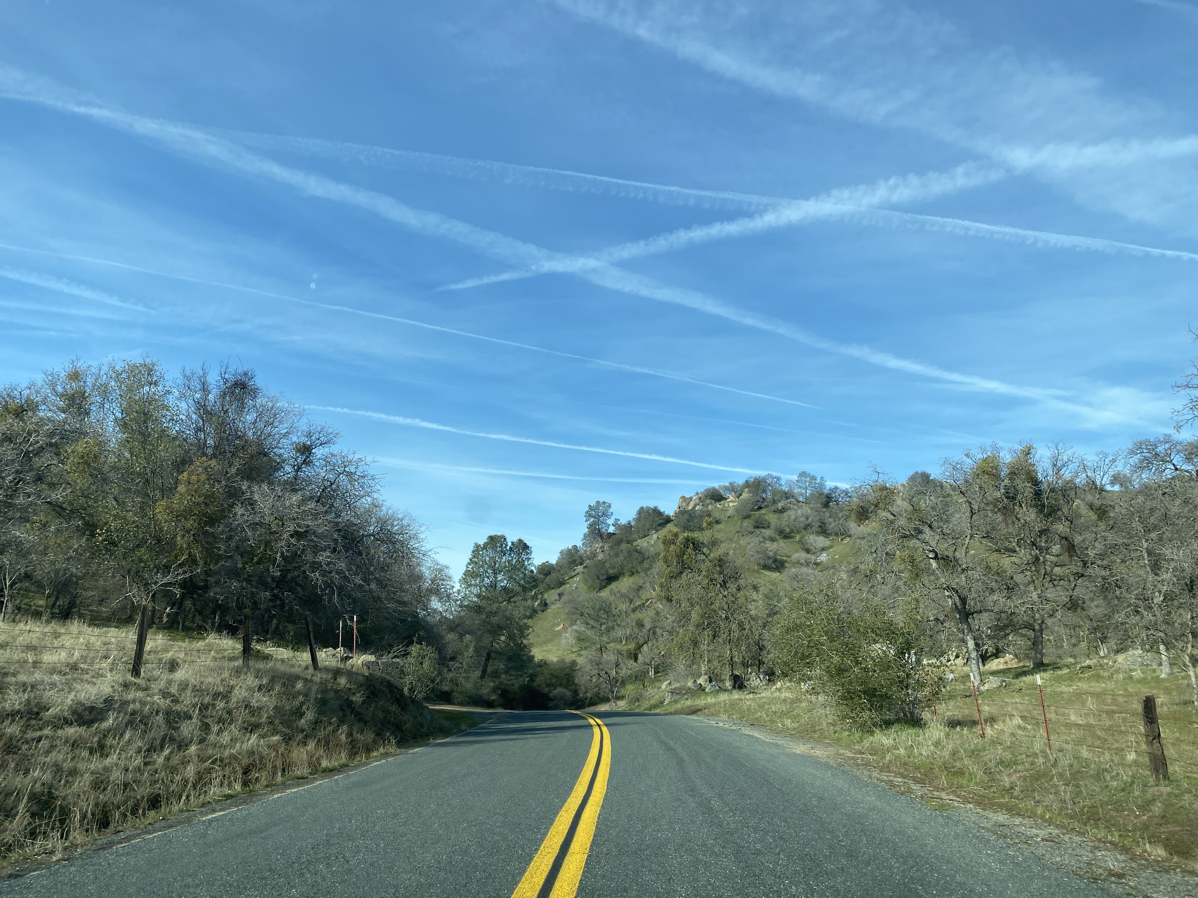
Featured as the blog cover is the northward descent on Old Stage Road along Arrastre Creek to the town site of White River. What became White River was settled along a spur of the Stockton-Los Angeles Road as "Dog Town" when gold was discovered nearby. By 1856 the community had been renamed Tailholt. A stage road from Tailholt to Linn Valley would later be connected to the Kern River by the efforts of Thomas Baker by 1860. The community of Tailholt would assume the name "White River" during 1870. By the turn of the 20th Century White River was a virtual ghost town as the price of gold had significantly dropped.
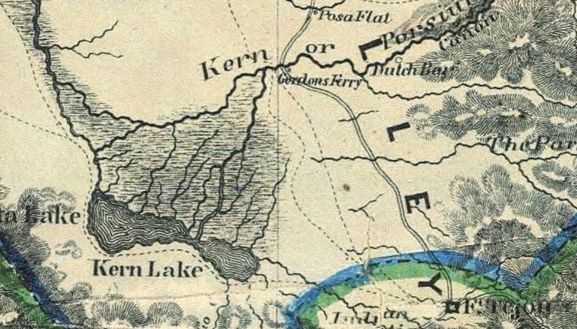
Below White River can be seen near the junction of the Stockton-Los Angeles Road and the stage road of Thomas Baker on the 1873 Bancroft's Map of California.

Part 1; the history of Old Stage Road
When California became an American State on September 9, 1850, the lands now comprising Tulare County were part of Mariposa County. Tulare County would split from southern Mariposa County during 1852.
The Stockton-Los Angeles Road came into use after the 1853 Kern River Gold Rush began. The Stockton-Los Angeles Road was a replacement of the earlier El Camino Viejo. Unlike the El Camino Viejo the Stockton-Los Angeles Road avoided the dense Tule Marches in San Joaquin Valley. The Stockton-Los Angles Road stayed close to the Sierra Nevada Mountain foothills near the new claims on the Kern River watershed. The corridor of Stockton-Los Angeles Road was also part of the 1858-61 alignment of the southern Butterfield Overland Mail Route.
On April 30, 1855, Buena Vista County was formed by the State Legislature out of what had been the dividing line of Township 20 and Township 21 of Tulare County. The Stockton-Los Angeles Road can be seen on the 1857 Britton & Rey's Map of California heading south from the vicinity of Visalia to the Buena Vista County line via Woodville. The Stockton-Los Angeles Road in Buena Vista County continued south over the Tule River to Stickney's Ferry near Tailholt (displayed as Whites). A trail connecting Tailholt to Linn Valley and the Kern River via Greenhorn Summit is displayed branching from the Stockton-Los Angeles Road. From Stickney's Ferry the Stockton-Los Angeles continued south to Poso Creek and Posey Station (displayed as Posa Flat). From Poso Creek the Stockton-Los Angeles Road southbound crossed the Kern River at Gordon's Ferry and continued to Fort Tejon in Grapevine Canyon.


Buena Vista County was dissolved during 1859 and reabsorbed back into Tulare County. During 1860 a stage road would be created out of the previous trail from Tailholt to the Kern River by way of state funds utilized by Thomas Baker. Thomas Baker's stage road is sometimes referred to in historic record as the "the old Bull Road." The Bull Road continued south from the Kern River towards Tehachapi Pass via Havilah. Much of the Bull Road today east from Linn Valley and Glennville forms the basis of California State Route 155 in addition to Caliente-Bodfish Road.
Another attempt to split southern Tulare County occurred during 1864 in the form of proposed Coso County. Coso County would have comprised lands which make up present-day Kern County and Inyo County. The proposed Coso County was to be voted upon during 1864 but the election never took place.
Kern County would be formed out of southern Tulare County on April 2, 1866. Kern County comprised the former lands of Tulare County below the Township 24 and Township 25 line. The new Tulare/Kern county line was located just south of Tailholt and near the Stockton-Los Angeles Road/Bull Road spur junction.
The popularity of the Stockton-Los Angeles Road began to decline rapidly as the Central Pacific Railroad line through San Joaquin Valley was built during the 1870s. Farm diversions for irrigation in San Joaquin Valley and the presence of various rail sidings along the Central Pacific Railroad spurred infrastructure development which made travel through previous wetlands easier.
The 1873 Bancroft's Map of California shows White River (previously Tailholt) located south of the main junction of the Stockton-Los Angeles Road and Bull Road. The primary junction of the Stockton-Los Angeles Road and Bull Road is displayed branching at Fountain Springs.
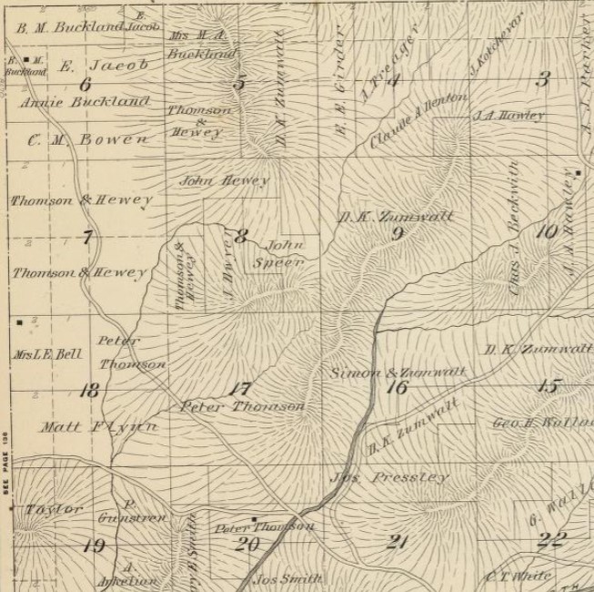
The 1892 Thompson Atlas of Tulare County displays the Stockton-Los Angeles Road and Bull Road in detail south of Fountain Springs to the Kern County Line. The map of Township 23, Range 28 shows the junction of the Stockton-Los Angeles Road and Bull Road at Fountain Springs.

Township 24, Range 28 displays the Stockton-Los Angeles Road continuing south to the White River and Kern County Line. A spur route can be seen branching east along the north bank of the White River to the community of the same name. Upon entering Kern County, the Stockton-Los Angeles Road continued south towards the outskirts of the community of Woody towards Woody Road. Sometimes the Stockton-Los Angeles Road from the Tulare/Kern County line south to California State Route 155 appears as "White River Road" on modern maps.


Township 24, Range 29 displays the Bull Road passing through White River and entering Kern County along the South Fork White River (now Arrastre Creek). The Stockton-Los Angeles Road spur can be seen entering White River over Coko Creek onto what is now modern Camp Drive.

The 1917 California State Automobile Association Map displays both the Stockton-Los Angeles Road and Bull Road south of Fountain Springs to the Kern County line as active roadways. The Bull Road to White River is shown as a major highway whereas the Stockton-Los Angeles Road is shown as a minor.

The 1925 California State Automobile Association Map displays only the Bull Road south of Fountain Springs to the Kern County line as being an active roadway. It is unclear when the Stockton-Los Angeles Road south of Fountain Springs to the Kern County line was abandoned.

The 1935 Division of Highways Map of Tulare County displays the Bull Road south of Fountain Springs to the Kern County line as a major county highway.

The 1935 Division of Highways Map of Kern County displays the Bull Road straddling the Kern/Tulare County line and branching southward via what is now White River Road to Glennville via the site of Laver's Crossing at Poso Creek.

During 1968 County Sign Route J22 was defined with an eastern terminus ending at Old Stage Road at Fountain Springs via Avenue 56. County Sign Route J24 was defined with an eastern terminus at Old Stage Road via Avenue 96 during 1970. It is unclear why Old Stage Road was never given a Sign County Route designation. A possible explanation might simply be that Kern County never opted to include their highways in the County Sign Route program.
Part 2; a drive on Old Stage Road
Following Old State Road northbound requires travelers begin their journey at Linn Valley and Glennville from California State Route 155.

From California State Route 155 some evidence of the Stockton-Los Angeles Road can still be found. At approximately California State Route 155 Postmile 23.00 a plaque regarding the Garces Baptismal site can be found. What became the Stockton-Los Angeles Road originated as a local Native American trail. The Garces Baptismal site was located approximately three miles north of California State Route 155 at a Yokut Village on Grizzley Gulch. Grizzley Gulch would go on to become a waypoint along the Stockton-Los Angeles Road.


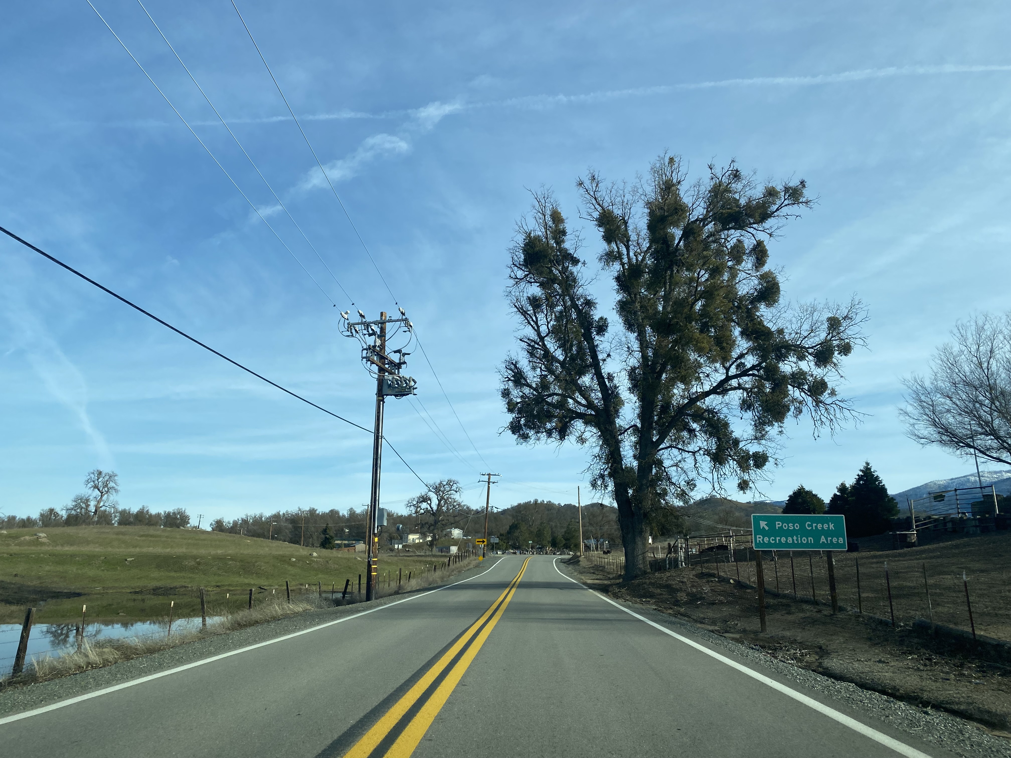
The gate below can be found at approximately California State Route 155 Postmile KER 26.00. This gate appears on most GPS mapping software as White River Road and would have been approximately where the Stockton-Los Angeles Road crossed modern California State Route 155 west of Woody.


At the intersection of California State Route 155 and Woody Road in the community of Woody a historic plaque regarding the community can be found. Woody was settled during 1862 by Dr. Sparrell W. Woody. Copper was discovered near Woody during 1891 which was followed by quartz gold being discovered at Blue Mountain during 1894. Woody was subdivided into a town site during 1909.


Glennville is located 10 miles east of Woody on California State Route 155.


California State Route 155 eastbound enters Glennville, crosses Poso Creek intersects Jack Ranch Road. Glennville lies in Linn Valley and is centered around Poso Creek. The first European settlers of what is now Glennville arrived during 1854. The community of Linn's Valley would receive Post Office service during 1860 and community would change it's name to "Glennville" during 1872. The name "Glennville" is a reference to settler James Madison Glenn who opened a blacksmith shop in Linn Valley during 1857.


Old Stage Road can be accessed by following Jack Ranch Road north from California State Route 155 in Glennville. At the intersection of Jack Ranch Road and White River Road the Bull Road of Thomas Baker would have crossed the site of Laver's Crossing. Laver's Crossing was settled during 1854 by John C. Reid during the height of the Kern River Gold Rush. Laver's Crossing would become the location of a stage house and hotel along the Bull Road. Laver's Crossing was the primary community in Linn Valley until being surpassed by Linn's Valley (Glennville) during 1870.


White River Road no longer connects as a public highway northwest from Jack Ranch Road to Old Stage Road. White River Road was part of the original grade of Thomas Baker's Bull Road.

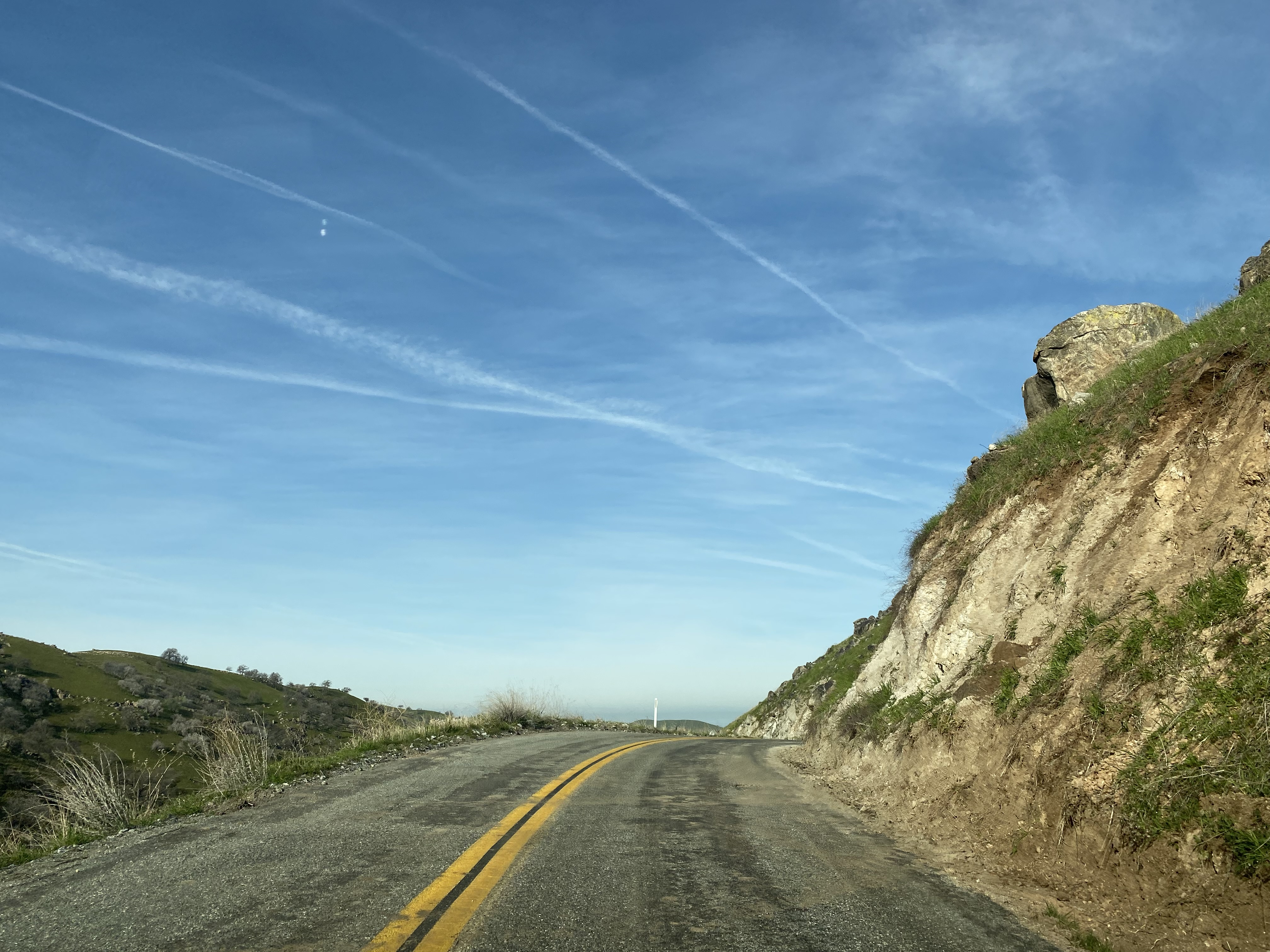
Jack Ranch Road continues north and crosses the Tulare Line at Poso Creek. Upon crossing Poso Creek, Jack Ranch Road ends at Old Stage Road near Posey. Old Stage Road is initially carried by Tulare County Mountain Road 1. Porterville is signed as being 32 miles to the north from the beginning of Old Stage Road. Old Stage Road begins at an approximate elevation of 3,300 feet above sea level.


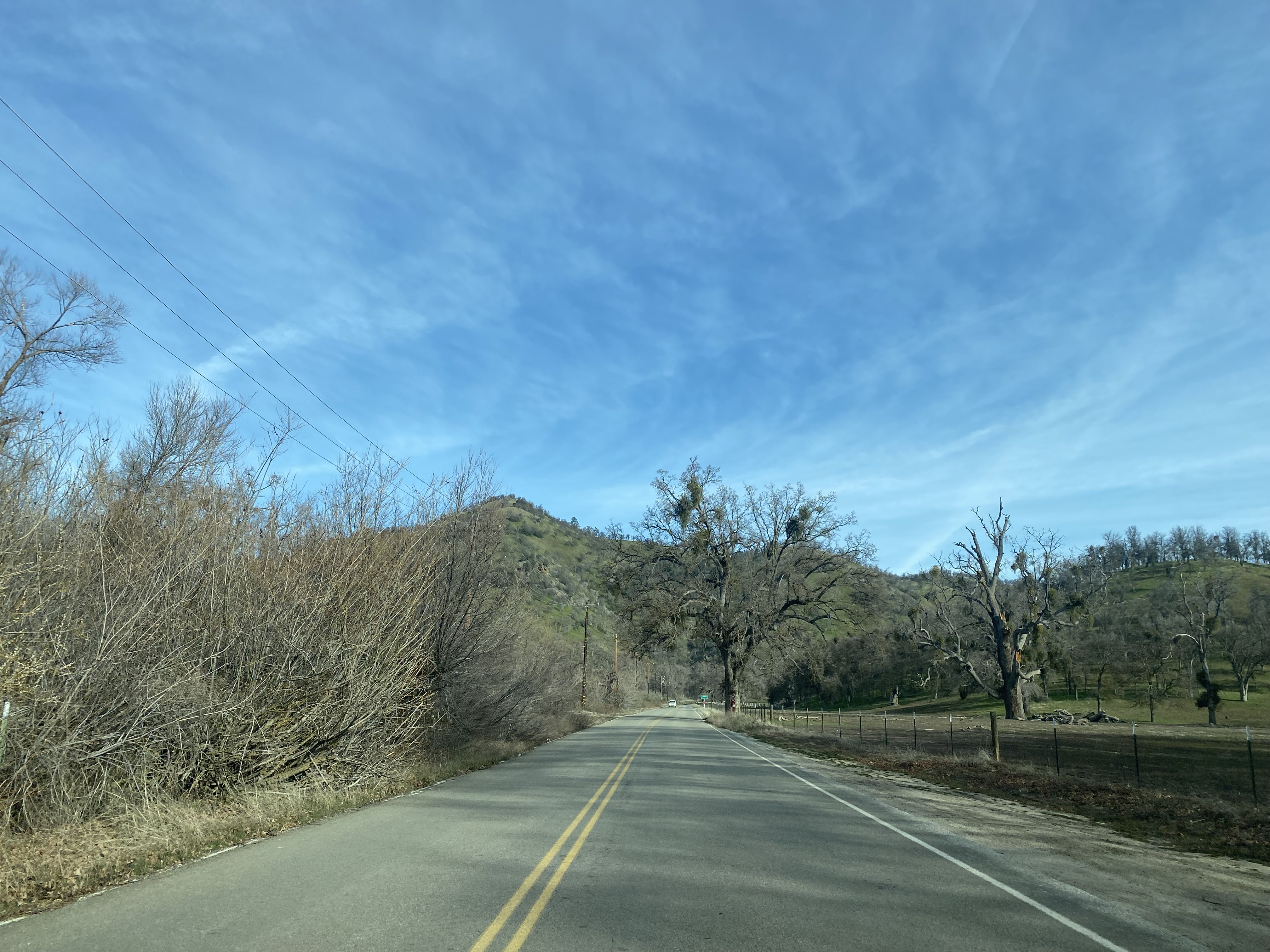


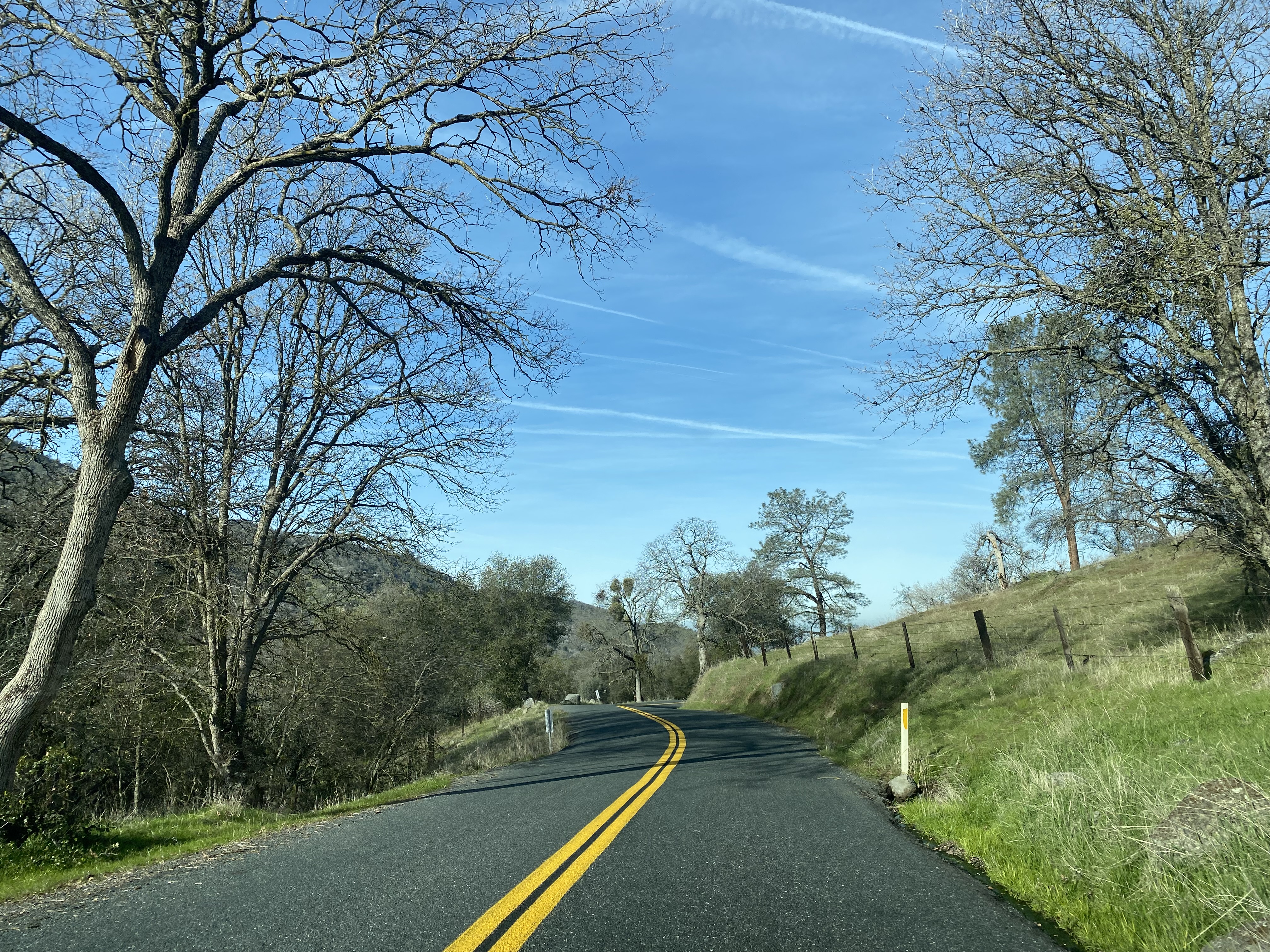
Northbound Old Stage Road dips back into Kern County via an unmarked crossing. The boundary of Kern County is easily identified by the differing asphalt surface on Old Stage Road. Old Stage Road has occasional Postmiles signed as Kern County Mountain Road 447.


Old Stage Road upon entering Kern County picks up the northern end of White River Road. Facing south on White River Road gives the impression of what travel conditions along the Bull Road once looked like.

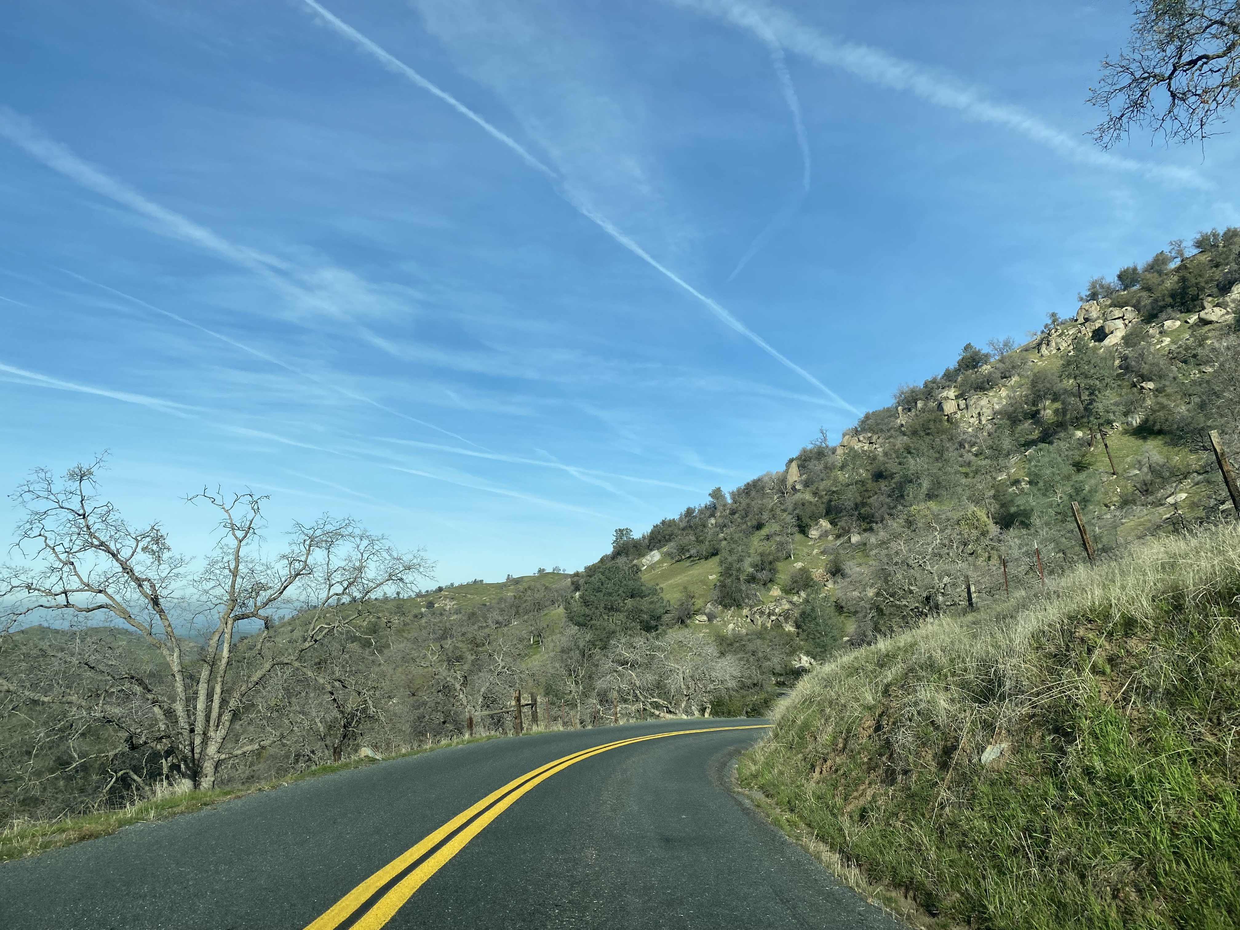
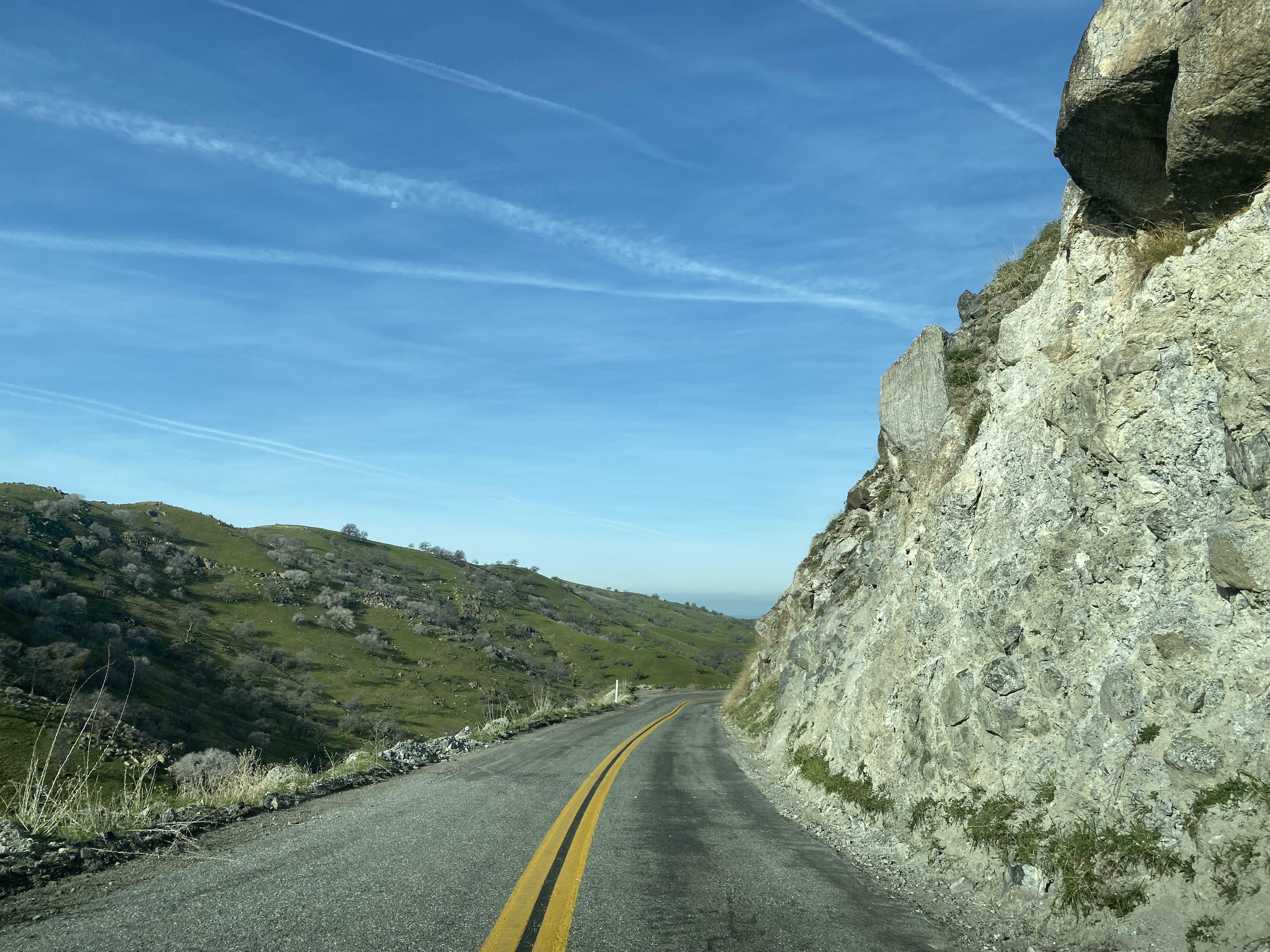
Old Stage Road northbound picks up the alignment of the Bull Road and begins to follow Arrastre Creek. Old Stage Road northbound reenters Tulare County via an unmarked crossing and becomes Tulare County Mountain Road 109. Once again, the change in the asphalt surfacing can be used to observe the Kern/Tulare county line.


Old Stage Road northbound continues descend along Arrastre Creek and enters the site of White River as it intersects Tulare County Mountain Road 12.


A historic plaque regarding the history of Tailholt and White River can be found at the intersection of Old Stage Road and Tulare County Mountain Road 12 (Tailholt Road).


The first known gold claim near White River was made during 1853 by DeWitt Clinton Briggs and Andrew J. Maltby. Upon the discovery of gold there was an influx of settlers at the confluence of the South Fork (now Arrastre Creek) and North Fork of the White River. A small shanty town known as Dog Town (one of many in California by that name) soon sprang up around the gold claims. The community's name would change to "Tailholt' sometime around 1856.
The origin of the community name "Tailholt" isn't clear. Local conjecture has it that the name is a reference to a cow's tail which was hung as an entry handle on the first cabin in the community. Another origin story involves a woman grabbing the tail of her dog to prevent it from falling off a stage wagon while passing through the community.
Tailholt is thought to have reached a peak at population ranging from 1,000-3,000 residents by 1862. By 1870 the community's name was changed to White River. The declining price of gold approaching the start of the 20th century led to the decline of White River given the community was entirely centered around mining activity.
Much of the above information on the history of White River was sourced from the tularecountytreasure.com article regarding the history of Tailholt. The page is an excellent read and contains numerous vintage photos of the White River community.
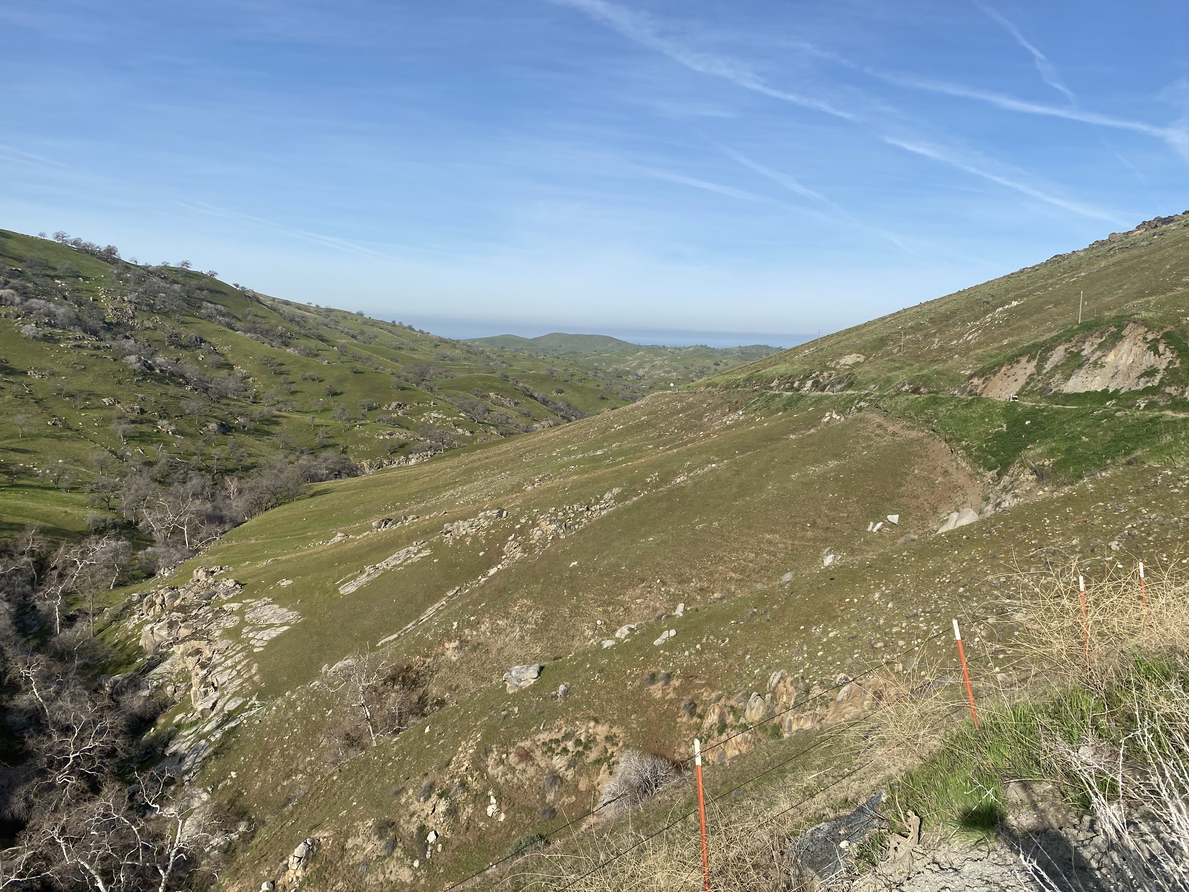
The view on Tailholt Road/Tulare County Mountain Road 12 facing south.


Old Stage Road continues northwest following the grade of the Bull Road. Departing the White River area, a vista of the Sierra Nevada Mountains can be observed facing eastward.


Old Stage Road continues northwest and drops below the 1,000-foot elevation mark. Old Stage Road enters Fountain Springs approaching the intersection with Tulare County Route J24/Avenue 56 and Hot Springs Road/Tulare County Mountain Road 56.


The Fountain Springs Old Stage Station has numerous historical plaques. The first plaque contains a brief description of the story of the Pegleg Gold and "El Cojo."

The second plaque contains a brief history of the Stockton-Los Angeles Road. The Native American trails and expeditions which formed the basis of the Stockton-Los Angeles Road are listed.


The final plaque contains a brief history of Fountain Springs. Fountain Springs was established at the junction of the Stockton-Los Angeles Road and what was to become the Bull Road sometimes around 1855.


The view east from Fountain Springs along Hot Springs Road/Tulare County Mountain Road 56 towards Johnsondale.

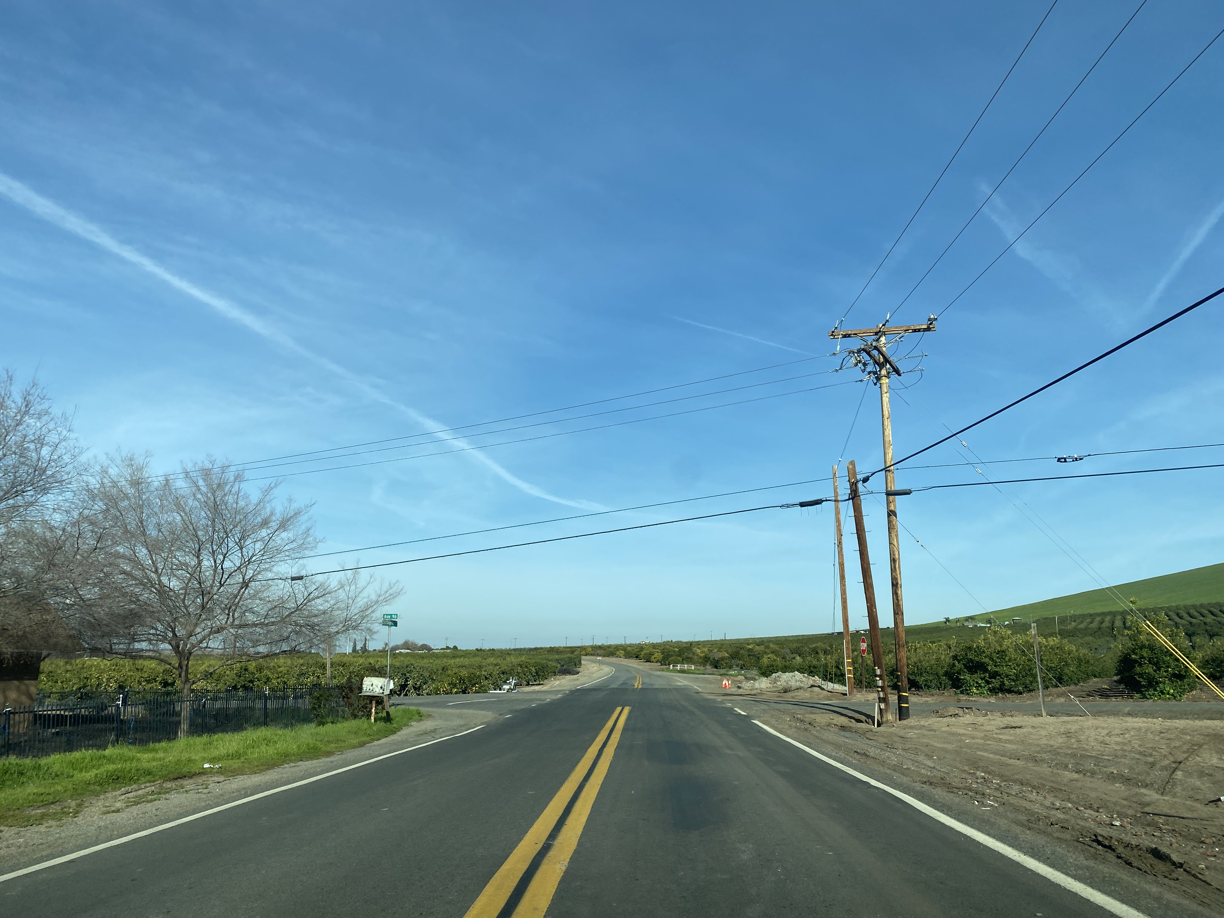
North of Fountain Springs the grade of Old Stage Road transitions to that the Stockton-Los Angeles Road. Old Stage Road continues north towards Porterville and intersects Tulare County Route J22 at Avenue 96.


Old Stage Road continues north and terminates at the Deer Creek Bridge where the through road becomes Avenue 116.


Comments