
The combined Interstate 210/California State Route 210 corridor of the Foothill Freeway is approximately 85.31-miles. The Interstate 210/California State Route 210 corridor begins at Interstate 5 at the northern outskirts of Los Angeles and travels east to Interstate 10 in Redlands of San Bernardino County. Interstate 210 is presently signed on the 44.9-mile segment of the Foothill Freeway between Interstate 5 and California State Route 57. California State Route 210 makes up the remaining 40.41 miles of the Foothill Freeway east to Interstate 10. Interstate 210 is still classified by the Federal Highway Administration as existing on what is now signed as California State Route 57 from San Dimas south to Interstate 10. The focus of this blog will mostly be on the history of Interstate 210 segment of the Foothill Freeway.

Part 1; the history of Interstate 210 and California State Route 210
Interstate 210 (I-210) was approved as a chargeable Interstate during September of 1955 according to CAhighways. As noted above I-210 was originally aligned between I-5 and I-10. In 1998 California State Route 30 (CA 30) was legislatively redefined as part of Route 210. In 1999 a request to add CA 30 to I-210 was submitted to the AASHTO but was quickly withdrawn. The adding of CA 30 to the Interstate System required it be rebuilt to Interstate Standards. It wasn't until late 2009 that CA 210 fully replaced CA 30 as a field signed route (hence why CA 30 appears on the map above since it is a scan from the 2005 Caltrans State Map). Since 1999 no agency in California has sought to reapply to have CA 210 added to be the Interstate System.
The Foothill Freeway is discussed during the January/February 1957 California Highways and Public Works Guide as being added to the early Interstate System. The Foothill Freeway is cited to be the only planned Interstate freeway route around Los Angeles not to have a determined routing.

Understanding the development of I-210/CA 210 requires a baseline understanding of the history of many notable highways that have crossed the Los Angeles and San Bernardino areas. The history of the I-210/CA 210 corridor will be broken iinto the following segments below:
- From I-5 in northern Los Angeles to Pasadena.
- Pasadena east to Glendora.
- Glendora east to Redlands.
Part 1A; Northern Los Angeles east to Pasadena; a historic corridor of California State Route 118
The early State Highway between Northern Los Angeles and San Fernando east to Pasadena was part of Legislative Route 9 (LRN 9). LRN 9 was first added to the State Highway System during the First State Highway Bond Act of 1909. The original definition of LRN 9 was from San Fernando east to San Bernardino. LRN 9 bypassed downtown Los Angeles by way San Fernando east to Pasadena via the following route:
- East from San Fernando Road/LRN 4 on Maclay Avenue.
- Maclay Avenue east to Michigan Avenue (now Foothill Boulevard).
- Michigan Avenue east to Montana Street.
- Montana Street east to Fair Oaks Avenue.
- Fair Oaks Avenue north into Altadena to Altadena Drive (previously Foothill Boulevard).
- Altadena Drive east to US Route 66/US Route 99 in Pasadena.
The original route of LRN 9 between San Fernando and Pasadena can be partially seen on the 1930 Division of Highways State Map. The map mistakenly displays US Route 99 (US 99) as bypassing Los Angeles whereas it was actually aligned on LRN 4 into the city via San Fernado Road.

1933 was a landmark year in terms of Statewide transportation. The State Legislature removed restrictions that prevented State Funds from being used to maintain urban roadways. This change by the Legislature led to the addition of numerous urban highways being adopted including the extension of LRN 9 to Ventura.
In the August 1934 California Highways and Public Works the Signed State Routes were announced. CA 118 was announced to be aligned along LRN 9 from US 101/LRN 2 near El Rio via San Fernando to US 66/LRN 9 in Pasadena. CA 118 can be seen on a Statewide Map on Page 21 and the routing can be seen on Page 32.


The route of early CA 118 between Pasadena and San Fernando can be seen on this 1935 Goshua Highway Map of Los Angeles. The 1935 Goshua Highway Map shows all the roadways described above between Pasadena and Los Angeles signed as Foothill Boulevard. The alignment of CA 118 appears to take a simplified route from US 66/LRN 9 on Colorado Street up Fair Oaks Boulevard and Lincoln Avenue to Foothill Boulevard on a bypass of Altendena.

In December of 1940 the Arroyo Seco Parkway was completed which led to US 66 being realigned. The shift in US 66 appears to have extended CA 134 east on Colorado Street past the eastern terminus of CA 118 on Fair Oaks Boulevard. This can be seen on the 1940 Division of Highways State Map City Insert.

According to CAhighways.org in 1955 part a small part of CA 118 between Gould Avenue in La Canada Flintridge and Montana Avenue in Pasadena was completed to freeway standards. This new segment of freeway can be seen on the 1958 Division of Highways State Map City Insert and was later bypassed by I-210 on the Foothill Freeway when it was built over the Arroyo Seco in 1974.

CA 118 between Gould Avenue in La Canada Flintridge to Montana Avenue is seen on the January/February 1957 California Highways and Public Works Guide as a completed freeway in a District 7 report.

CA 118 essentially went through the 1964 California State Highway Renumbering unchanged in regard to field signage. That said, the route of CA 118 was slated to undergo massive changes starting with the 1964 State Highway Renumbering. CA 118 between Pasadena and San Fernando was assigned LRN 210 in anticipation I-210/Foothill Freeway being built eastward towards I-10. CA 118 itself was legislatively extended from San Fernando through the San Gabriel Mountains via Big Tujunga Canyon on what had been defined as LRN 266 in 1963 to the planned CA 249. All changes relating to CA 118 during the California State Highway Renumbering can be observed by comparing the 1963 Division of Highways State Map to the 1964 Edition.
1963 Division of Highways Map

1964 Division of Highways Map

The 1979 Caltrans State Highway Map City Insert shows the Simi Valley Freeway completed between Balboa Boulevard east to I-210. CA 118 and I-210 are shown to be co-signed on the incomplete Foothill Freeway east to Pasadena.

The 1981 Caltrans State Highway Map City Insert shows CA 118 truncated to an east terminus at I-210 on the Foothill Freeway near San Fernando. I-210 is shown to be complete from Northern Los Angeles east to Pasadena. The final segment of I-210 to be built to Interstate Standards between San Fernando and Pasadena was Osborn Street to Sunland Boulevard by 1983 according to CAhighways.org.

Part 1B; the corridor of US Route 66/US Route 99/LRN 9 and Legislative Route 240 from Pasadena to Glendora
Traditionally the historic corridor between Pasadena and Glendora was part of US 66 on LRN 9 and became part of the highway when the US Route System was created by the American Association of State Highway Officials (AASHO) on November 11, 1926. As noted above in Part 1A this segment of LRN 9 was part of the 1909 First State Highway Bond Act. Also noted in Part 1A US 66 originally shared the corridor of LRN 9 between Pasadena and Glendora with US 99. US 66/US 99 can be seen on the 1930 Division of Highways Map City Insert departing Pasadena via Colorado Boulevard eastward before taking a northward jog on Altadena Drive.

US 66/US 99 eastward on LRN 9 would have taken Foothill Boulevard into Monrovia where they jogged south on Shamrock Avenue to Huntington Drive. US 66/US 99 on LRN 9 followed Huntington Drive onto Foothill Boulevard (then Center Street) approaching downtown Azusa. US 66/US 99 on LRN 9 continued east to Foothill Boulevard (then Alosta Avenue) towards Glendora. The 1934 Division of Highways Map shows US 66/US 99 on their original corridor on the City Insert but the State Map shows that LRN 161 (the Colorado Street Extension completed by Pasadena by 1932) was seemingly adopted circa 1933 to straighten the through highway. This corridor of LRN 161 east of Pasadena was aligned on Colorado Boulevard, Colorado Place and Huntington Drive to Monrovia.


State Maintenance of LRN 26 and US 60 was extended to downtown Los Angeles to Aliso Street during 1933. A series of September 1934, letters by the California State Highway Engineer to the AASHO Executive Secretary noted a recommendation to move US 99 from Los Angeles to Redlands via LRN 26 through Pomona and Colton. The California State Highway Engineer noted traffic on US 99 would be better served traversing downtown Los Angeles and utilizing US 60/LRN 26 directly to reach Redlands. Notably the alignment the sketch map provided by the California State Highway Engineer shows existing US 99 following San Fernando Road to US 66 at Arroyo Seco Avenue and a multiplex on US 66/LRN 165 via Figueroa Street to Colorado Boulevard.
The same exchange of letters also notes US 70 had been extended into California with an endpoint following US 60/LRN 26 into downtown Los Angeles. The routing definition of US 70 indicated it would multiplex US 99/US 60 east from downtown Los Angeles to Pomona and onward to US 60 east to Beaumont.


In 1957 LRN 240 was added to the State Highway System according to CAhighways.org as a planned freeway route from the Hollywood Freeway east to Pomona. LRN 240 from the Hollywood Freeway to Pasadena ultimately would become part of CA 134 on the Ventura Freeway. LRN 240 from Pasadena east to Pomona was to become part of the Foothill Freeway. LRN 240 can be first seen on the 1958 Division of Highways Map.

The first completed segment of the Foothill Freeway between Pasadena and Glendora is shown on the 1969 Division of Highway State Map City Insert. The Foothill Freeway appears in a segment near Arcadia east to Duarte.

The 1970 Division of Highways State Map City Insert shows the Foothill Freeway expanded west towards Monrovia and east towards Azusa. I-210 first appears on the Pasadena/Glendora corridor for the first time. It appears that US 66 probably was multiplexed onto the Foothill Freeway by way of CA 39 in Azusa. Signage of US 66 was withdrawn to US 95 in Needles upon the completion I-40 in the Bristol Mountains circa 1972.

The 1975 Caltrans State Map City Insert shows I-210 on the Foothill Freeway complete from the eastern City Limit to I-10 in Pomona. Segments of former US 66 are shown to be legislatively CA 248 but signed as CA 66.

I-210 on the Foothill Freeway is shown complete through Pasadena and connecting to CA 118 on the 1977 Caltrans State Map City Insert.

Part 1C; the evolution of California State Route 30 into California State Route 210
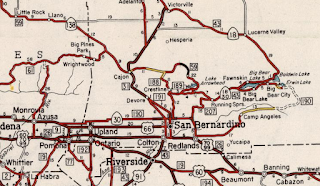
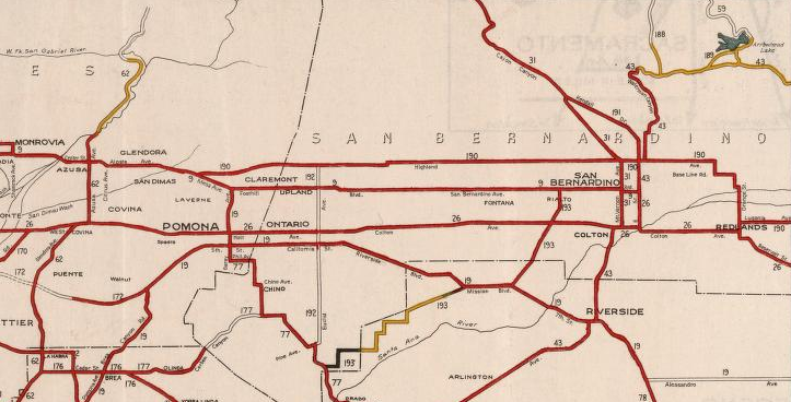
What is now CA 210 between Glendora east to Redlands was carved from what was the later alignment of CA 30. The corridor of what is now CA 210 between Glendora and Redlands first entered the State Highway System as a segment of LRN 190 (which had western origin point in San Dimas at LRN 9) in 1933 according to CAhighways. LRN 190 east in Redlands connected via spur to LRN 26/US 60/70/99 and continued eastward to Big Bear Lake. LRN 190 can be first seen on the 1934 Division of Highways State Map.

LRN 190 east from LRN 9 in San Dimas utilized Base Line Road over the San Bernardino County Line. LRN 190 continued east onto 16th Street where it made a northbound jog onto Mountain Avenue. From Mountain Avenue LRN 190 turned east onto 19th Street. LRN 190 made a jog from 19th Street north onto what is now Haven Avenue. From Haven Avenue LRN 190 made an eastern turn onto Highland Avenue. LRN 190 continued east through San Bernardino on Highway Avenue and made a southern jog at Boulder Avenue. LRN 190 continued south on Boulder Avenue and swung east onto Base Line Street. From Base Line Street LRN 190 swung towards LRN 26 on a zig-zag alignment of streets with a final connection being made via a spur on Orange Street. The primary route of LRN 190 continued east from Orange Street on Lugonia Avenue towards Big Bear. This alignment of LRN 190 can be seen on the 1935 Division of Highways Map of San Bernardino County.

CA 30 first appears on the 1954 Division of Highways State Map. CA 30 is shown originating at US 66/LRN 9 in San Dimas and following LRN 190 east to LRN 207/City Creek Road (LRN 207 was added to the State Highway System in 1937 according to CAhighways) onward towards CA 18/LRN 43 at Running Springs. CA 30 multiplexed CA 18 to Big Bear Dam and followed the southern Big Bear Lake spur of LRN 43 back to a terminus at CA 18. Note: some topographical maps show CA 30 originally having a western terminus at US 66/LRN 9 in Upland via Euclid Avenue on LRN 192.

The 1957 Division of Highways State Map overtly shows CA 30 multiplexing CA 18 east from Running Springs to Big Bear Lake.
During the 1964 State Highway Renumbering CA 106 was assigned on what had been LRN 190 from CA 30/City Creek Road south to I-10 in Redlands. CA 30 was truncated back to CA 18 in Running Springs. These changes can be seen on the 1964 Division of Highways State Map.

A new planned freeway alignment of CA 30 and CA 106 from I-15 to I-10 around San Bernardino appears on the 1965 Division of Highways State Map.

A small, proposed connector freeway for CA 30 to reach I-210 on the Foothill Freeway appears on the 1969 Division of Highways State Map between San Dimas east to Claremont.

The planned freeway route for CA 30 from I-210 east to CA 106 appears in far greater detail on the 1970 Division of Highways State Map. CA 30 from Alta Loma east to Muscoy was planned to be built to freeway standards directly over Highland Avenue.

According to CAhighways CA 30 was realigned over CA 106 in 1972. What had been CA 30 on City Creek Road was assigned to CA 330. These changes appear for the first time on the 1975 Caltrans State Map. The 1975 Caltrans Map also shows the first freeway segments of CA 30 complete in San Dimas and northern San Bernardino.

Part of CA 30 in Redlands in is shown on the 1986 Caltrans State Map to be moved to a new expressway alignment.

According to CAhighways CA 30 was moved to a freeway alignment between Highland and I-10 in Redlands during July 1993. In 1997 the remaining Los Angeles County freeway segment of CA 30 began being constructed. Through 1998 the remaining segments of the CA 30 freeway west from the I-15 interchange began construction. 1998 as noted above was also the year that CA 30 was legislatively changed to Route 210.

The first completed segment of the Foothill Freeway between Pasadena and Glendora is shown on the 1969 Division of Highway State Map City Insert. The Foothill Freeway appears in a segment near Arcadia east to Duarte.

The 1970 Division of Highways State Map City Insert shows the Foothill Freeway expanded west towards Monrovia and east towards Azusa. I-210 first appears on the Pasadena/Glendora corridor for the first time. It appears that US 66 probably was multiplexed onto the Foothill Freeway by way of CA 39 in Azusa. Signage of US 66 was withdrawn to US 95 in Needles upon the completion I-40 in the Bristol Mountains circa 1972.

The 1975 Caltrans State Map City Insert shows I-210 on the Foothill Freeway complete from the eastern City Limit to I-10 in Pomona. Segments of former US 66 are shown to be legislatively CA 248 but signed as CA 66.

I-210 on the Foothill Freeway is shown complete through Pasadena and connecting to CA 118 on the 1977 Caltrans State Map City Insert.

Part 1C; the evolution of California State Route 30 into California State Route 210
What is now CA 210 between Glendora east to Redlands was carved from what was the later alignment of CA 30. The corridor of what is now CA 210 between Glendora and Redlands first entered the State Highway System as a segment of LRN 190 (which had western origin point in San Dimas at LRN 9) in 1933 according to CAhighways. LRN 190 east in Redlands connected via spur to LRN 26/US 60/70/99 and continued eastward to Big Bear Lake. LRN 190 can be first seen on the 1934 Division of Highways State Map.
LRN 190 east from LRN 9 in San Dimas utilized Base Line Road over the San Bernardino County Line. LRN 190 continued east onto 16th Street where it made a northbound jog onto Mountain Avenue. From Mountain Avenue LRN 190 turned east onto 19th Street. LRN 190 made a jog from 19th Street north onto what is now Haven Avenue. From Haven Avenue LRN 190 made an eastern turn onto Highland Avenue. LRN 190 continued east through San Bernardino on Highway Avenue and made a southern jog at Boulder Avenue. LRN 190 continued south on Boulder Avenue and swung east onto Base Line Street. From Base Line Street LRN 190 swung towards LRN 26 on a zig-zag alignment of streets with a final connection being made via a spur on Orange Street. The primary route of LRN 190 continued east from Orange Street on Lugonia Avenue towards Big Bear. This alignment of LRN 190 can be seen on the 1935 Division of Highways Map of San Bernardino County.
CA 30 first appears on the 1954 Division of Highways State Map. CA 30 is shown originating at US 66/LRN 9 in San Dimas and following LRN 190 east to LRN 207/City Creek Road (LRN 207 was added to the State Highway System in 1937 according to CAhighways) onward towards CA 18/LRN 43 at Running Springs. CA 30 multiplexed CA 18 to Big Bear Dam and followed the southern Big Bear Lake spur of LRN 43 back to a terminus at CA 18. Note: some topographical maps show CA 30 originally having a western terminus at US 66/LRN 9 in Upland via Euclid Avenue on LRN 192.

The 1957 Division of Highways State Map overtly shows CA 30 multiplexing CA 18 east from Running Springs to Big Bear Lake.

During the 1964 State Highway Renumbering CA 106 was assigned on what had been LRN 190 from CA 30/City Creek Road south to I-10 in Redlands. CA 30 was truncated back to CA 18 in Running Springs. These changes can be seen on the 1964 Division of Highways State Map.

A new planned freeway alignment of CA 30 and CA 106 from I-15 to I-10 around San Bernardino appears on the 1965 Division of Highways State Map.

A small, proposed connector freeway for CA 30 to reach I-210 on the Foothill Freeway appears on the 1969 Division of Highways State Map between San Dimas east to Claremont.

The planned freeway route for CA 30 from I-210 east to CA 106 appears in far greater detail on the 1970 Division of Highways State Map. CA 30 from Alta Loma east to Muscoy was planned to be built to freeway standards directly over Highland Avenue.

According to CAhighways CA 30 was realigned over CA 106 in 1972. What had been CA 30 on City Creek Road was assigned to CA 330. These changes appear for the first time on the 1975 Caltrans State Map. The 1975 Caltrans Map also shows the first freeway segments of CA 30 complete in San Dimas and northern San Bernardino.

Part of CA 30 in Redlands in is shown on the 1986 Caltrans State Map to be moved to a new expressway alignment.

According to CAhighways CA 30 was moved to a freeway alignment between Highland and I-10 in Redlands during July 1993. In 1997 the remaining Los Angeles County freeway segment of CA 30 began being constructed. Through 1998 the remaining segments of the CA 30 freeway west from the I-15 interchange began construction. 1998 as noted above was also the year that CA 30 was legislatively changed to Route 210.
The undated/unsubmitted application by Caltrans to the AASHTO to extend I-210 to Redlands can be seen below. The application to extend I-210 notes a requested reclassification of the highway between CA 30 and I-10 as an extension of CA 57. The below application is stored in the 1997 files in the AASHTO database files.


Caltrans submitted a request to extend I-210 to Redlands to the AASHTO on September 16, 1998. The request was heard by the AASHTO Executive Committee on November 7, 1999. The AASHTO deferred acting on extending I-210 requesting clarification from Caltrans.


A letter from the Caltrans Direction to AASHTO Executive Director dated March 4, 1999, noted CA 30 had been reclassified as part of Route 210 by way of 1998 Assembly Bill 2388. The Caltrans Director noted the intention to sign CA 210 as part of I-210 upon completion of the corridor to Interstate standards. The Caltrans Director noted the agency requested the Federal Highway Administration reclassify existing I-210 between San Dimas-Pomona as CA 57 and included it as an attachment (dated February 19, 1999).


A letter by the AASHTO Executive Director to the Director of Caltrans dated March 19, 1999, noted receipt of a request to extend I-210 to Redlands. A handwritten attachment notes Caltrans withdrew the request to extend I-210 by phone call to AASHTO on March 24, 1999.


It is unclear if Caltrans submitted a withdrawal of the submission to the Federal Highway Administration to delete existing I-210 between San Dimas-Pomona. The segment still appears in the current Federal Highway Administration Interstate Route Log. Essentially by Federal Highway Administration classification CA 57 between San Dimas-Pomona is still I-210.
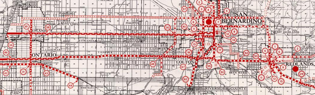
CA 210 opened as a freeway from Sierra Avenue in Fontana west to CA 57/I-210 during November 2002. According to CAhighways CA 30 remained signed east of I-215 whereas the remaining freeway segment was signed as CA 210. Oddly the 2005 Caltrans State Map shows I-210 cosigned with CA 30 from CA 57 east to I-215 (it appears that Caltrans may have been jumping the gun on the segment becoming I-210). Most of CA 30 east of I-215 is shown to be to freeway standards with a remaining expressway segment near CA 18/Waterman Avenue.

According to CAhighways the route of CA 210 was completed to freeway standards east of Sierra Avenue to I-10 by 2007. All freeway CA 30 reassurance shields were reported to be removed by 2008 although some surface shields have been to have remained up to 2009.

According to CAhighways the route of CA 210 was completed to freeway standards east of Sierra Avenue to I-10 by 2007. All freeway CA 30 reassurance shields were reported to be removed by 2008 although some surface shields have been to have remained up to 2009.
Part 2; a drive on Interstate 210 on the Foothill Freeway from Interstate 5 east to California State Route 57
My approach to I-210 and the Foothill Freeway was from I-5 south near Newhall Pass. Traffic is on I-5 south is advised at the CA 14 interchange that the I-210 is 1.5 miles away.

I-5 south passes under the CA 14 interchange and enters the City of Los Angeles. Upon entering Los Angeles traffic in the right-hand lanes of I-5 are directed onto I-210 eastbound.


I-210 eastbound climbs over I-5 on a flyover ramp and faces the San Gabriel Mountains.


I-210 eastbound Exit 1 accesses Yarnell Street.

I-210 eastbound enters the neighborhood of Sylmar.

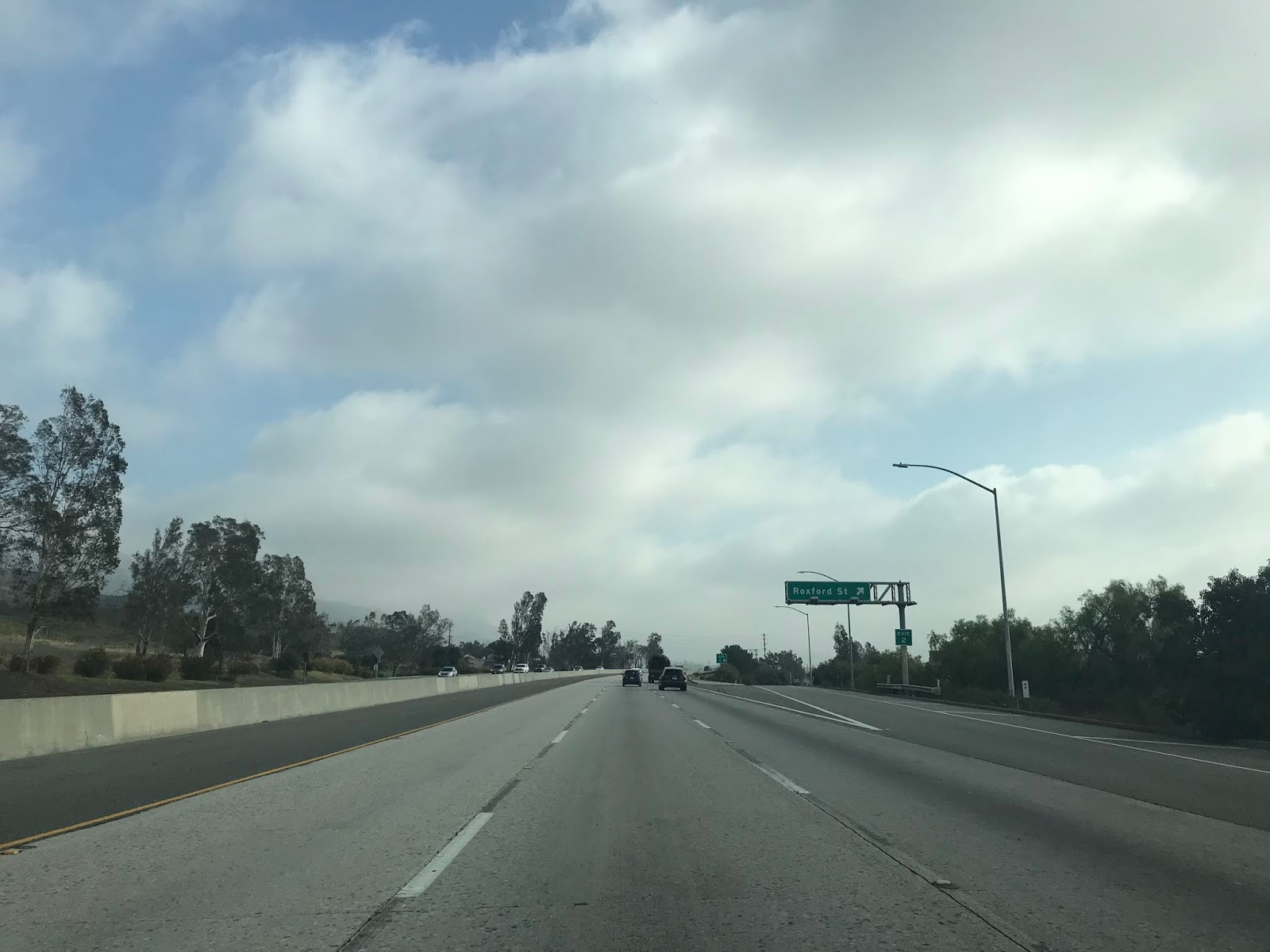
I-210 east Exit 2 accesses Roxford Street.
I-210 east Exit 3 accesses Polk Street.


I-210 eastbound Exit 4 accesses Hubbard Street.


I-210 eastbound Exit 5 accesses former CA 118 on Maclay Avenue and San Fernando.


I-210 eastbound intersects CA 118 at Exit 6A. Traffic headed to Paxton Street is directed to take Exit 6B.


East of CA 118 the alignment of I-210 is signed as 18 miles from Pasadena.


I-210 Exit 8 accesses Osborne Street.


I-210 eastbound Exit 9 accesses Wheatland Avenue.


I-210 eastbound begins to climb into the Foothills of the San Gabriel Mountains (hence the name Foothill Freeway) and accesses Sunland Boulevard at Exit 11.


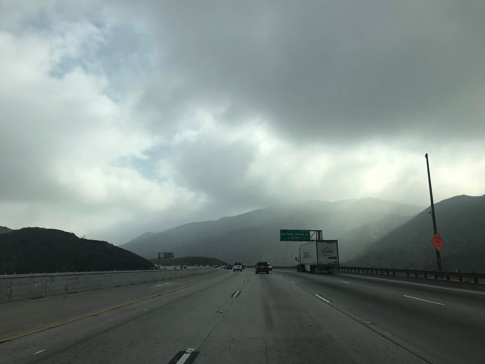
I-210 eastbound winds through a series of scenic canyons and accesses La Tuna Canyon Road at Exit 14.


I-210 east accesses Lowell Avenue at Exit 16 and enters the City of Glendale.


I-210 eastbound Exit 17 accesses Pennsylvania Avenue.


I-210 east Exit 18 accesses Ocean View Boulevard.


I-210 east enters La Canada Flintridge and accesses CA 2 southbound on the Glendale Freeway at Exit 19.


CA 2 multiplex I-210 east to Exit 20 where it departs onto Angeles Crest Highway.


I-210 eastbound Exit 21 accesses Gould Avenue.


I-210 eastbound enters the city of Pasadena and accesses Arroyo Boulevard at Exit 22B.


I-210 eastbound Exit 23 accesses Lincoln Avenue and Washington Boulevard.

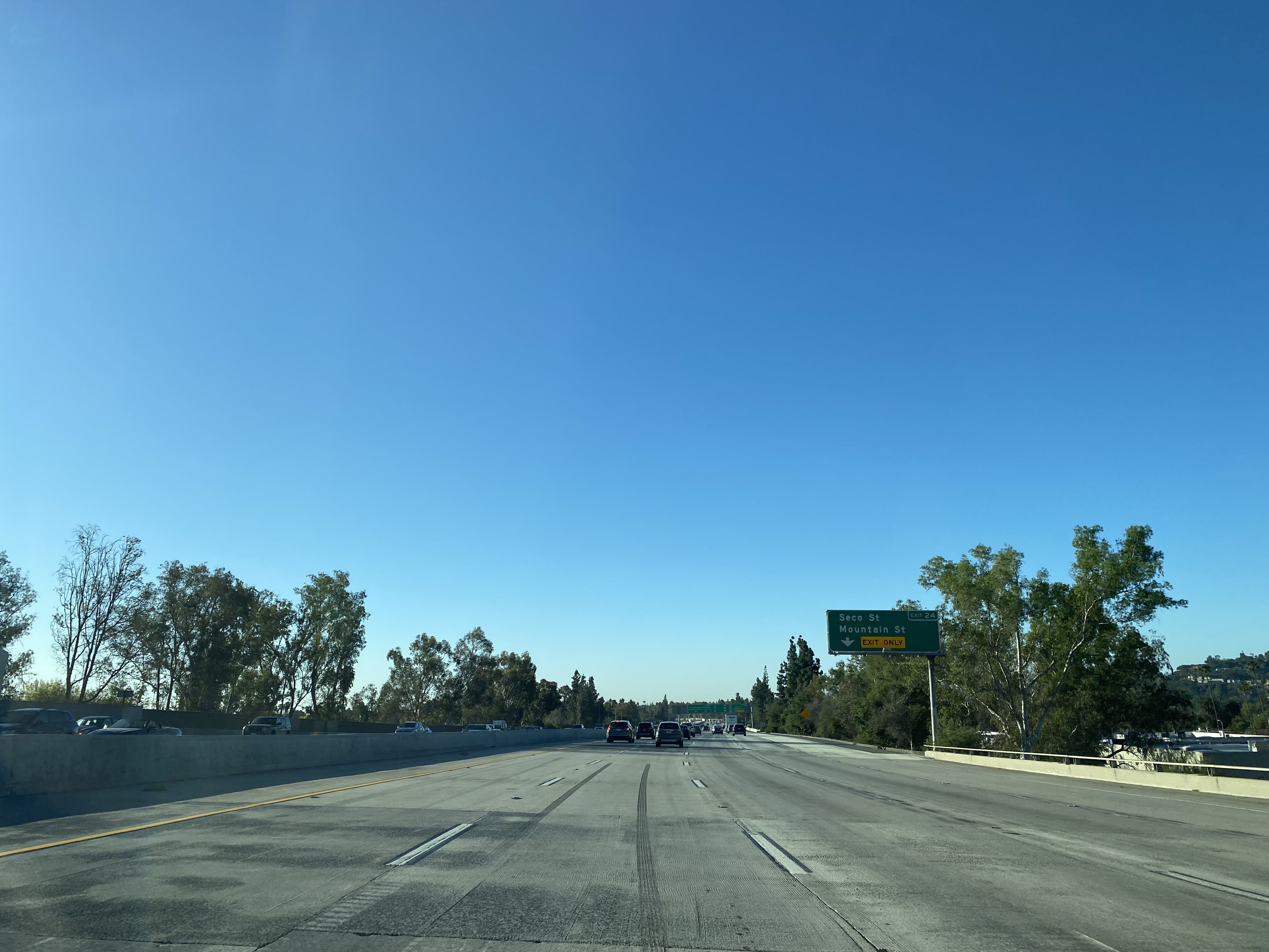
I-210 eastbound Exit 24 accesses Seco Street and Mountain Street.

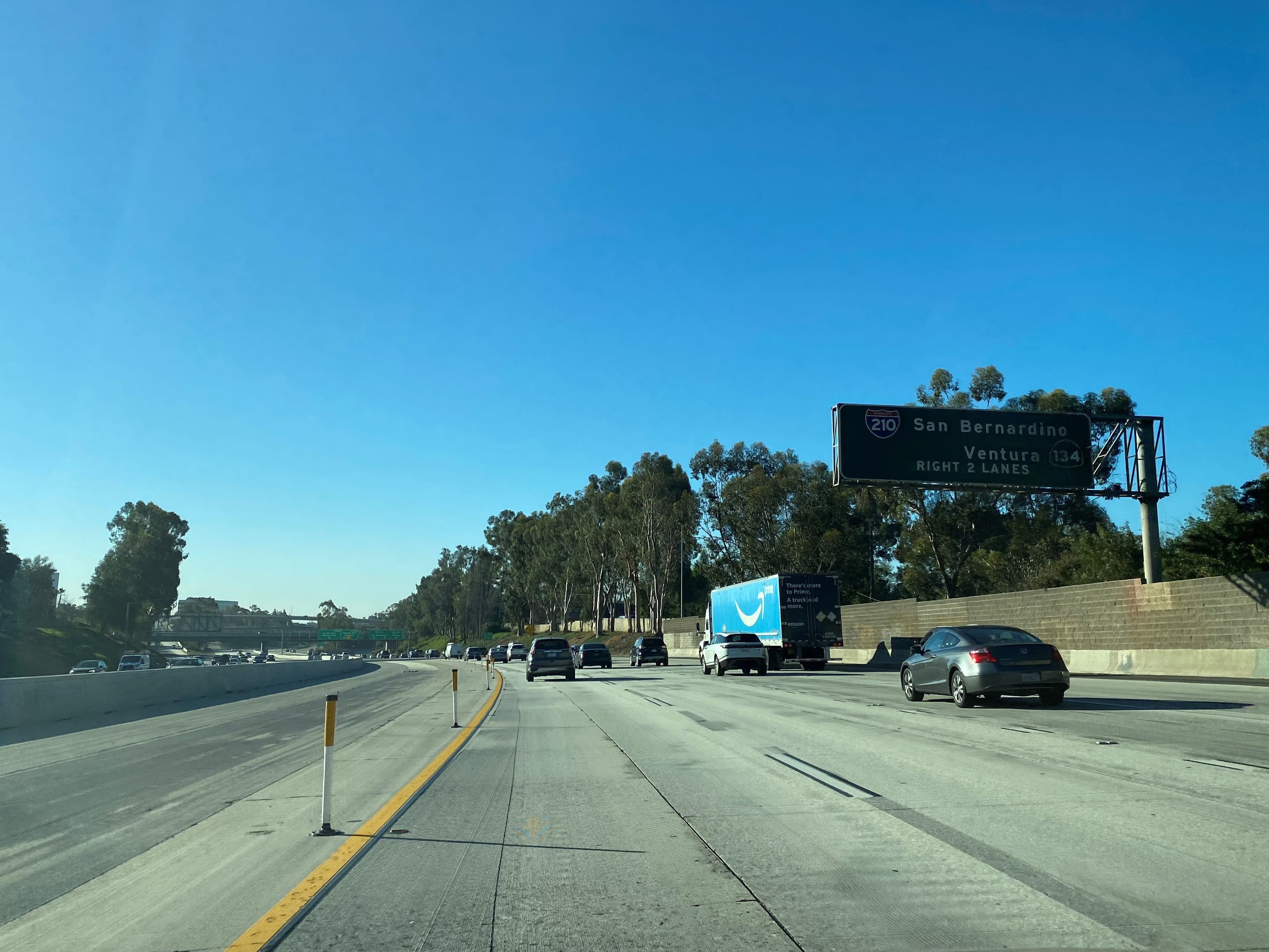
I-210 eastbound approaches the unsigned stub of CA 710/Long Beach Freeway at Exit 25A. Traffic on I-210 eastbound is required to stay right and cross over the Long Beach Freeway stub. Exit 25B from I-210 eastbound accesses CA 134/Ventura Freeway.

I-210 eastbound Exit 26 accesses Lake Avenue.

I-210 eastbound Exit 27 accesses Hill Avenue.

I-210 eastbound Exit 28 accesses Sierra Madra Boulevard and Altadena Drive.

I-210 eastbound Exit 29A accesses San Gabriel Boulevard whereas Exit 29B accesses Madre Street.


I-210 eastbound Exit 30A accesses CA 19 (unsigned CA 164) which is carried by Rosemead Boulevard. Exit 30B accesses northbound Rosemead Boulevard.


I-210 eastbound enters Arcadia and accesses Baldwin Avenue at Exit 31.

I-210 eastbound Exit 32 accesses Santa Anita Avenue.

I-210 eastbound enters Monrovia and accesses Huntington Drive at Exit 33.

I-210 eastbound Exit 34 accesses Myrtle Avenue.

I-210 eastbound enters Duarte and accesses Mountain Avenue at Exit 35A. Exit 35B accesses Buena Vista Street.


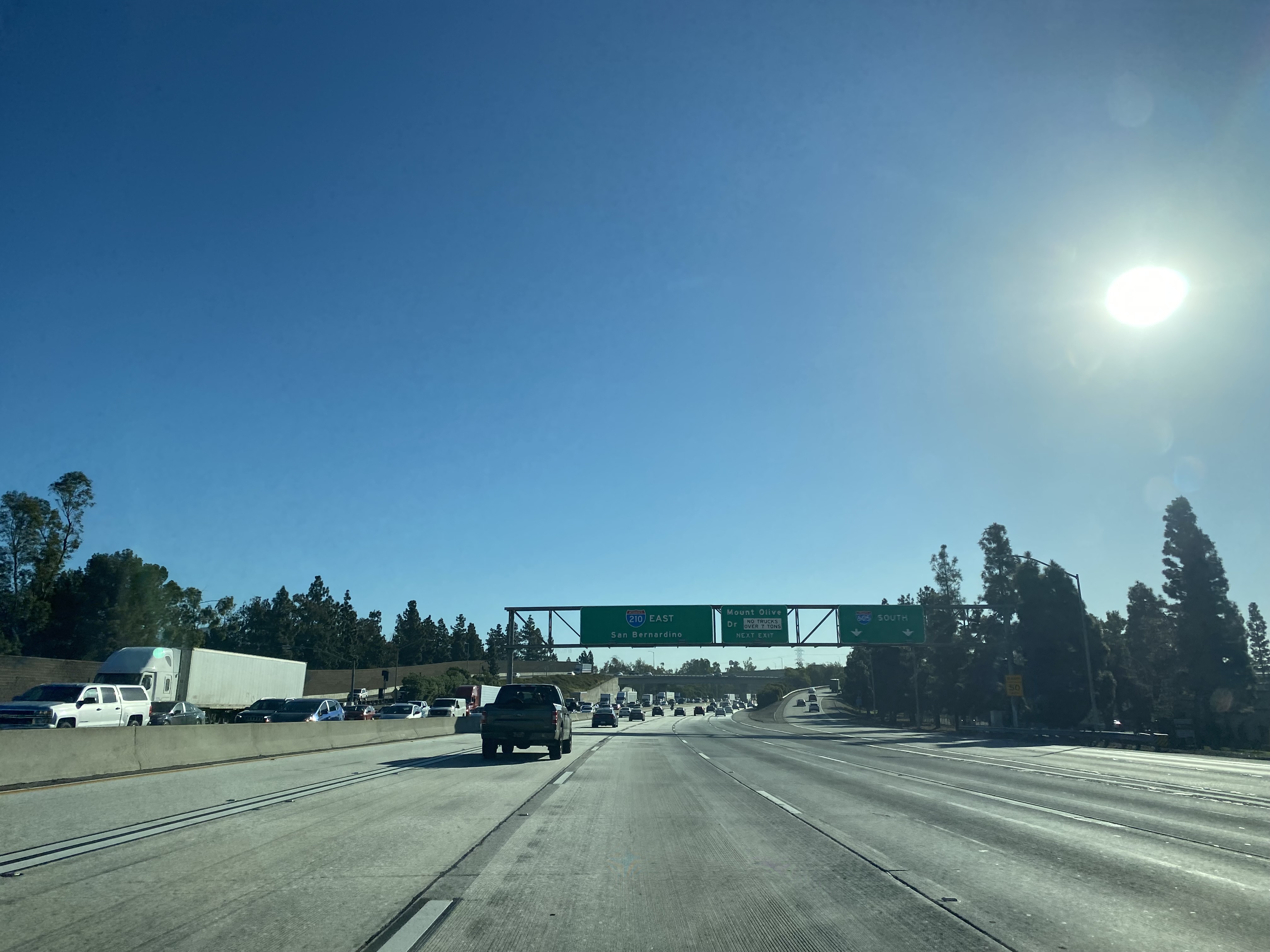
I-210 eastbound Exit 36A accesses I-605 whereas Exit 36B accesses Mount Olive Drive.


I-210 eastbound passes through Irwindale and accesses Irwindale Avenue at Exit 38.


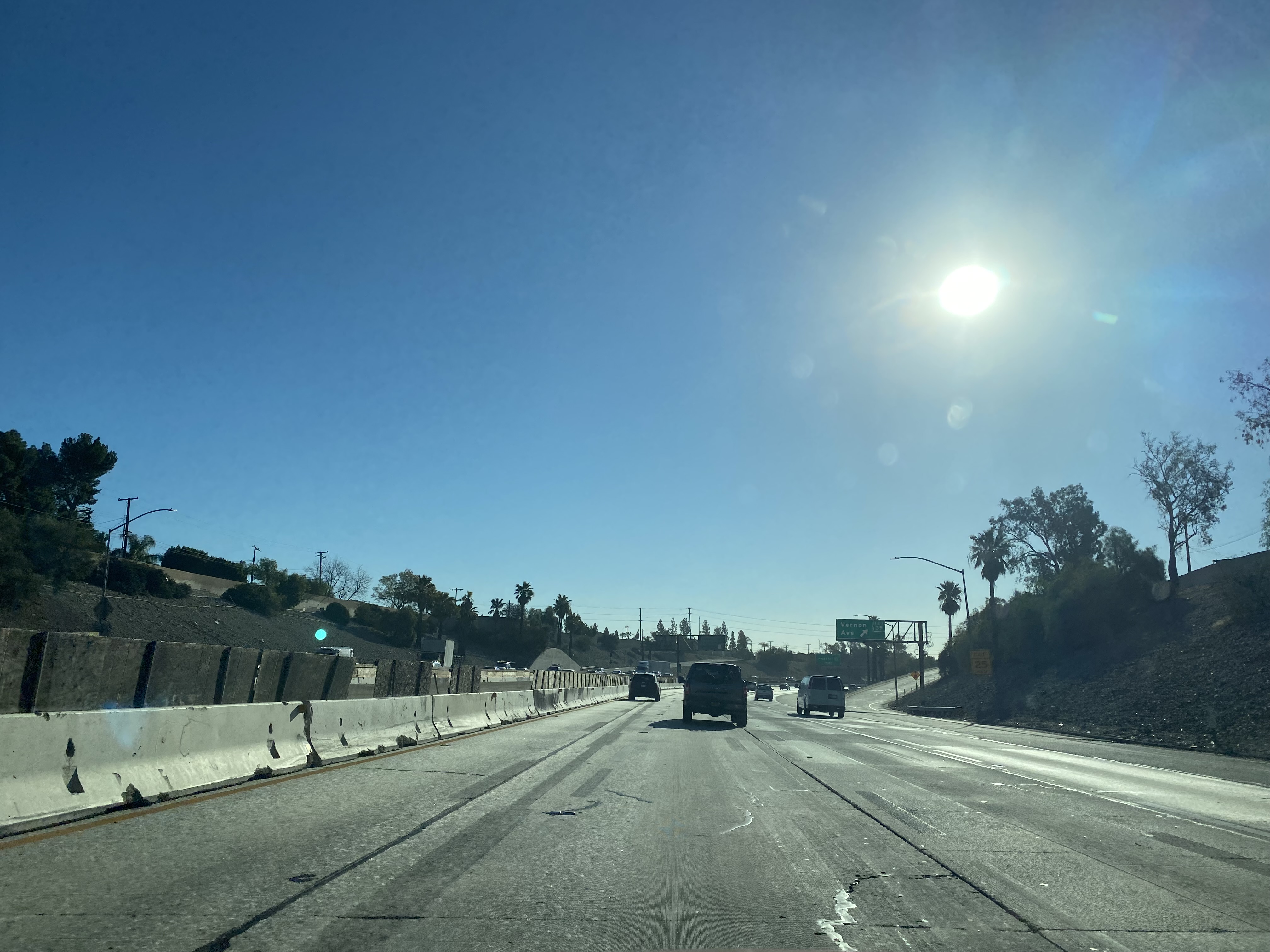
I-210 eastbound enters Azusa and accesses Vernon Avenue at Exit 39.
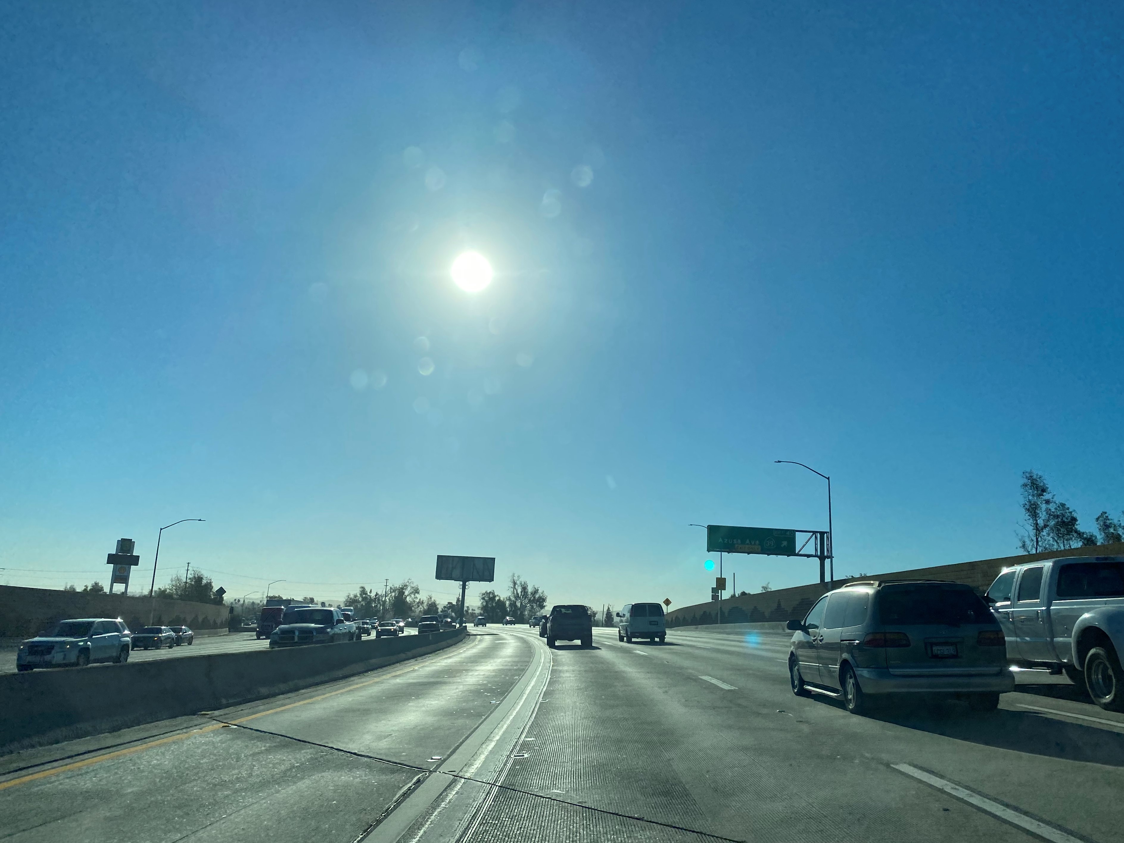
I-210 eastbound Exit 40 accesses CA 39 at Azusa Boulevard.

I-210 eastbound accesses Exit 41 accesses Citrus Avenue.

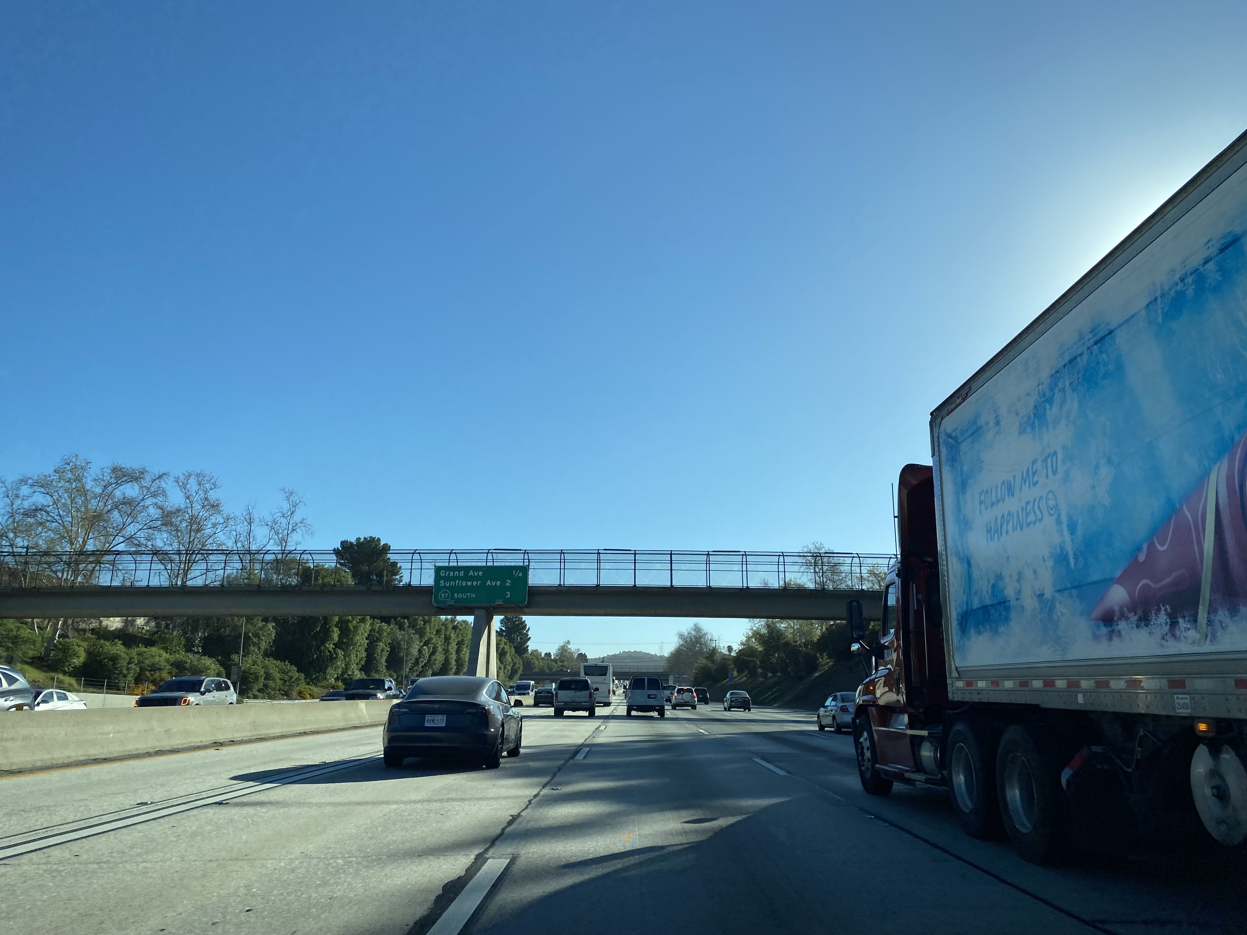

I-210 eastbound Exit 43 accesses Sunflower Avenue.

I-210 eastbound terminates at Exit 45 at CA 57. East of CA 57 the Foothill Freeway continues as CA 210. As noted in Part 1 the alignment of CA 57 south to I-10 in Pomona is still classified by the Federal Highway Administration as I-210.


Comments