In 2019, I had the occasion of visiting the scenic Flathead Valley in Montana twice, which involved taking US 93 between Whitefish and Missoula in bits and pieces. It is an incredibly scenic area, as you pass through the historic city of Kalispell, alongside Flathead Lake, through towns like Polson and down alongside the mountains to Missoula. For some, it is part of the drive to Glacier National Park. For others, it is a vital transportation link between the communities of western Montana. For me, it was a chance to check out some of the scenery in a place I don't get to visit much. It's about 135 miles between Whitefish and Missoula, but it's certainly a scenic 135 miles. It's also part of a much longer highway that runs from Arizona to Alberta, by way of Nevada, Idaho, Montana and British Columbia. Let's check it out, shall we...
Starting off in
Whitefish, a scenic town with a lot of specialty shops, resorts and a
historic train station that once served the Great Northern Railway. Today, Amtrak stops at the station in Whitefish as part of their
Empire Builder route. I actually took the Empire Builder back east from Whitefish. There's only a few communities along US 93 between Whitefish and the Canadian border, about 60 miles north.
Between Whitefish and Kalispell, US 93 becomes a busy four lane road, as it is an economic lifeline for the Flathead Valley and the many tourists who stay in Kalispell for recreational activities such as skiing, boating, or visiting Glacier National Park. Travelers to Glacier National Park may use MT 40 as a shortcut to Columbia Falls and West Glacier.
Situated at the junction of US 2 and US 93,
Kalispell is the heart of the Flathead Valley and the county seat of Flathead County.
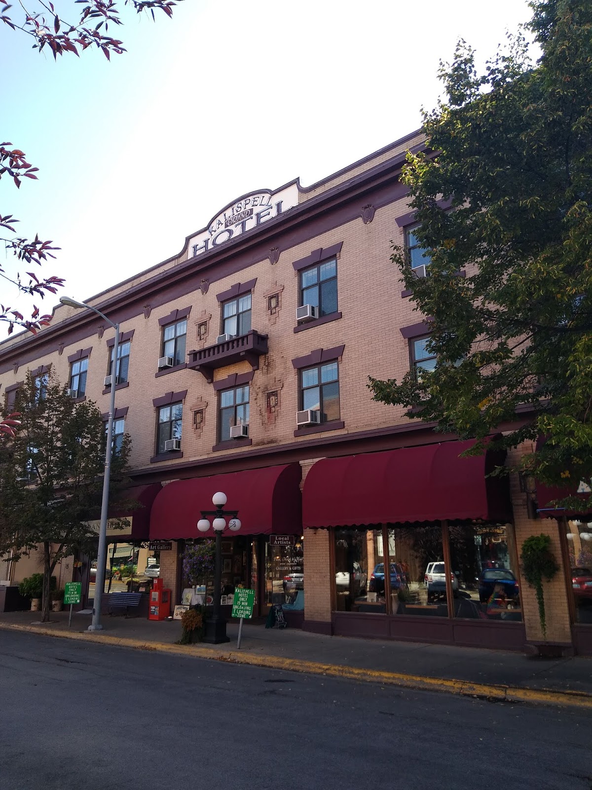
Kalispell has an old West flair to it, a bustling brewing industry and historic sites such as the historic
Kalispell Grand Hotel and the
Conrad Mansion. Travelers who choose to bypass downtown Kalispell can do so by taking US 93 Alternate around the west side of Kalispell.
Now that we've visited a couple of the towns along this stretch of US 93, let's start working our way south to Missoula. It's a good 120 miles from Kalispell. US 93 hugs the western shores of Flathead Lake fairly closely from the town of Somers (just south of Kalispell) to Polson. From there, US 93 makes a beeline south through the Flathead Reservation on its way to I-90, just northwest of Missoula proper.
 |
| Heading out of Kalipsell on US 93 southbound. |
 |
| A long way from Missoula. MT 28 is part of the way to I-90 for westbound travelers to Idaho and Washington State. |
 |
| Flathead Lake and some snow capped mountains in the background. Western Montana was the recipient of a lot of early season snow in late September 2019, and it had still lingered into early November. |
 |
| The drive reminded me a bit of driving through the Adirondacks. The next few photos are along the stretch of US 93 southbound between Lakeside and MT 28, just before Big Arm. |
 |
| I thought that I'd stop and get a picture of Flathead Lake while I was in Big Arm. Flathead Lake is the largest natural freshwater lake in the western United States of America, and the 79th largest freshwater lake in the world. |
 |
| Big Arm, Montana. |
 |
| Approaching Polson. Driving southbound, I found this to be one of the most incredible vistas on my drive. |
 |
| So nice, I had to take a picture twice! |
 |
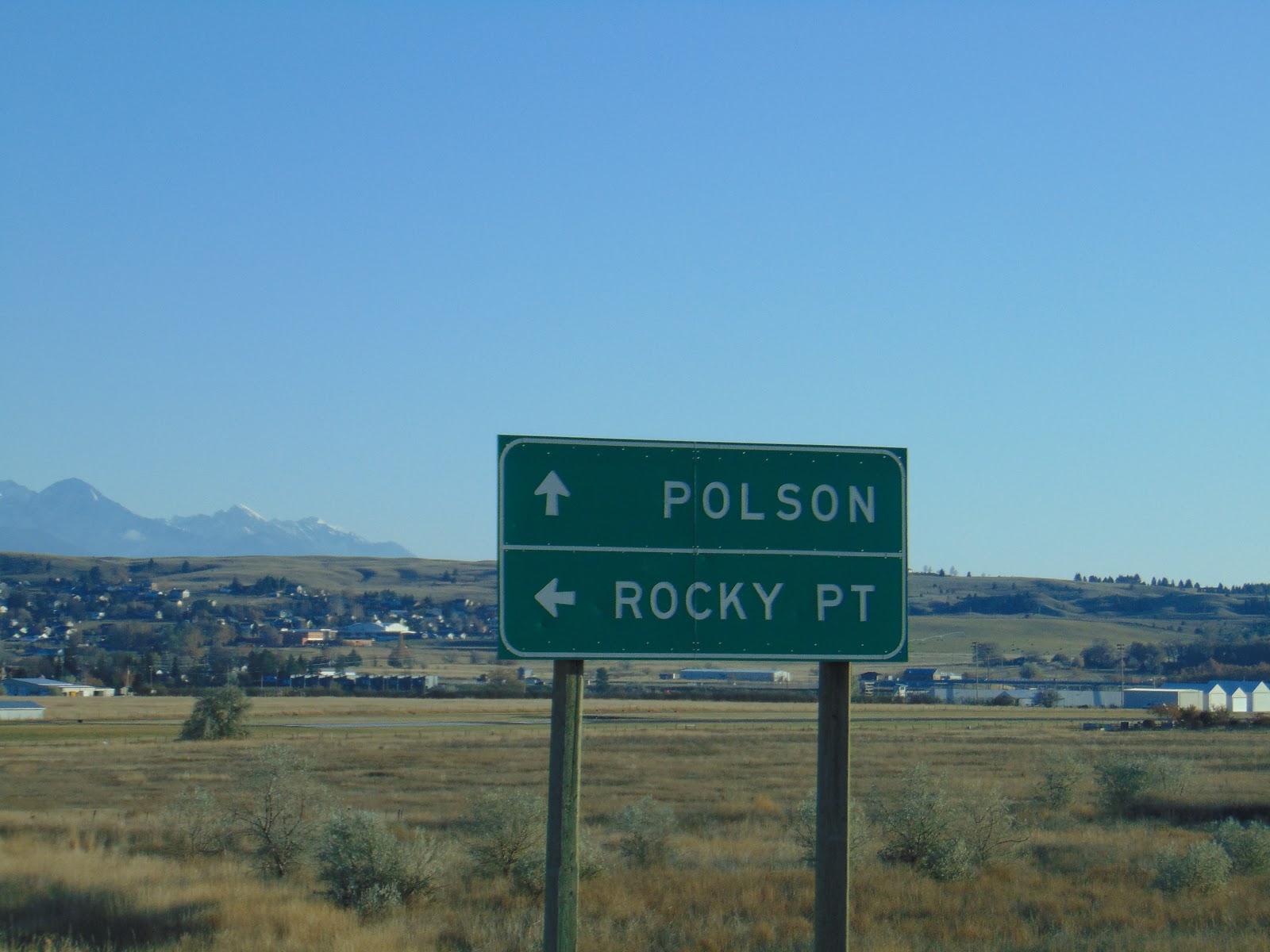
| Rocky Point is a town |
 |
| Crossing the Flathead River into Polson. You may notice that the sign is in two languages, English and Salish. The Salish language is used by the Pend d'Oreille and Salish tribes of the Flathead Reservation. You'll see more of this as we work our way south. |
 |
| Oh, that view. |
 |
| Charming Polson, Montana. The city was named for rancher David Polson and incorporated in 1910. |
 |
| MT 35 follows the east shore of Flathead Lake between Kalispell and Polson. If I have a reason to come back to this area, I'll give a drive along MT 35 a try. |
 |
| Starting to leave Polson. |
 |
| Ascending Polson Hill. There is a really nice scenic overlook, but it was only accessible to northbound travelers. |
 |
| Approaching MT 200, a long highway stretching over 700 miles from North Dakota to Idaho. It could be scenic or desolate, depending on your point of view. This is part of a longer multi state Highway 200 that runs from US 2 just west of Duluth, Minnesota all the way into Washington State, which continues as WA 20 out to the Puget Sound. |
 |
| US 93 and MT 200 have a play date all the way to I-90 in Missoula. |
 |
| There's that Salish language sign again. |
 |
| This is near Arlee, Montana, which is home to the Garden of One Thousand Buddhas. I didn't know about this place before writing this blog, and like the St. Ignatius Mission further up the road, I didn't really have the time to stop and check that out. |
 |
| Wilderness overpass. |
 |
| Getting close to I-90 now. |
 |
| US 93 and MT 200 join I-90. US 93 veers off a few miles to the east onto Reserve Road in Missoula. MT 200 lingers on and then ventures off on its own again just east of Missoula. |
Sources and Links:
Explore Montana's Highway 93 - Northwest Travel and Life
Top 5 FIT Attractions - Montana's U.S. Highway 93 - Glacier County Montana
U.S. 93 Reaching for the Border - Federal Highway Administration
U.S. 93 - AARoads.com


Comments