This past month I drove a segment of California State Route 116 from US Route 101 in Cotati east to CA 121 near Schellville.

CA 116 is a 46 mile east/west State Highway entirely located within Sonoma County. CA 116 begins near CA 1 in Jenner and travels easterly to a terminus at CA 121.

Part 1; the history of CA 116
What is now CA 116 entered the State Highway System as Legislative Route 104 in 1933 according to CAhighways.org. LRN 104 between Jenner and Sebastopol was added to Sign Route 12 in 1934. CA 12 can be seen on LRN 104 between Jenner and Sebastopol on the 1938 Division of Highways State Map.

During the 1964 State Highway Renumbering CA 12 west of Sebastopol was given a new planned alignment that was an unbuilt segment of LRN 51. All of LRN 104 was redefined with a new designation of CA 116. CA 116 included a multiplex of US 101 from Cotati south to Petaluma. The change from LRN 104 to CA 116 can be seen by comparing the 1963 Division of Highways Map to the 1964 Edition.
1963 Division of Highways Map

1964 Division of Highways Map

Part 2; a drive on CA 116 from US 101 in Cotati to CA 121 near Schellville
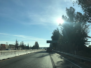
My approach to eastbound CA 116 was on US 101 south in Cotati. After an interchange at Exit 481B US 101 south picks up CA 116 east on a multiplex.


Petaluma is signed as 8 miles from Cotati on US 101 south/CA 116 east.

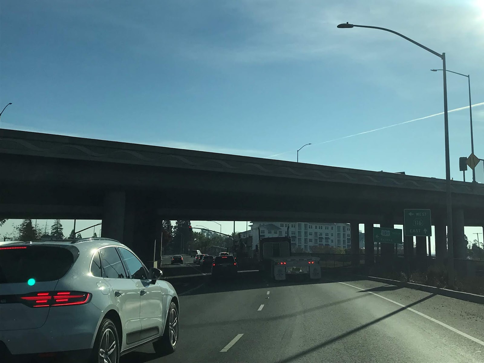
US 101 south/CA 116 east ascends over a small pass before descending into the City of Petaluma.


US 101 south/CA 116 east Exit 476 accesses Old Redwood Highway and Petaluma Boulevard.


US 101 south/CA 116 east next has an Exit at East Washington Street.

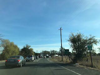
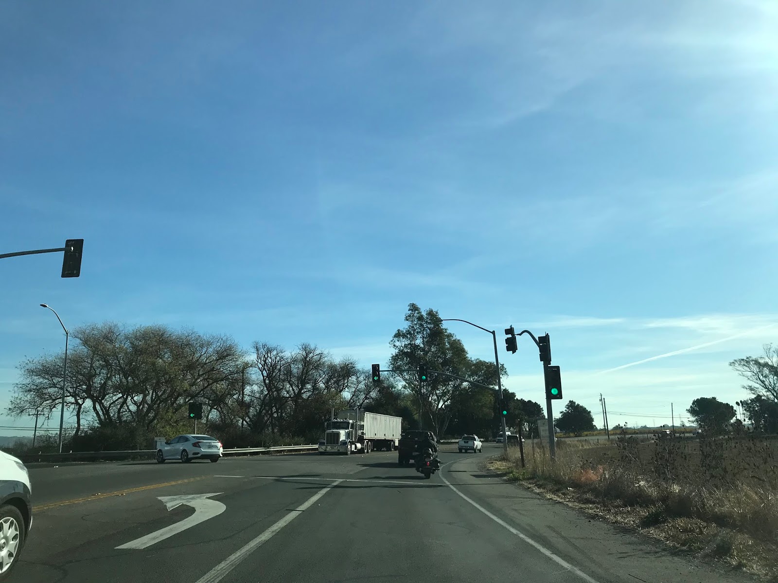
CA 116 east splits from US 101 south onto Lakeville Street at Exit 472B.


As CA 116 east exits onto Lakeville Highway there is signage directing traffic to Valejo's Petaluma Adobe.


CA 116 east follows Lakeville Highway to the City Limits of Petaluma where it enters a Safety Corridor.


CA 116 east follows Lakeville Highway to Post Mile SON 39.279 where it makes a left hand turn onto Stage Gulch Road.


CA 116 east ascends through Stage Gulch on the namesake Stage Gulch before making a right hand turn at Old Abode Road at Post Mile SON 41.799. The climb through Stage Gulch is probably the most interesting part of CA 116 east of US 101 and is actually quite scenic.


CA 116 east follows Stage Gulch Road to approximately Post Mile SON 44.83 where it transitions onto Arnold Drive.


CA 116 east follows Arnold Drive to a terminus at CA 121.


CA 116 is a 46 mile east/west State Highway entirely located within Sonoma County. CA 116 begins near CA 1 in Jenner and travels easterly to a terminus at CA 121.

Part 1; the history of CA 116
What is now CA 116 entered the State Highway System as Legislative Route 104 in 1933 according to CAhighways.org. LRN 104 between Jenner and Sebastopol was added to Sign Route 12 in 1934. CA 12 can be seen on LRN 104 between Jenner and Sebastopol on the 1938 Division of Highways State Map.

During the 1964 State Highway Renumbering CA 12 west of Sebastopol was given a new planned alignment that was an unbuilt segment of LRN 51. All of LRN 104 was redefined with a new designation of CA 116. CA 116 included a multiplex of US 101 from Cotati south to Petaluma. The change from LRN 104 to CA 116 can be seen by comparing the 1963 Division of Highways Map to the 1964 Edition.
1963 Division of Highways Map

1964 Division of Highways Map

Part 2; a drive on CA 116 from US 101 in Cotati to CA 121 near Schellville
My approach to eastbound CA 116 was on US 101 south in Cotati. After an interchange at Exit 481B US 101 south picks up CA 116 east on a multiplex.


Petaluma is signed as 8 miles from Cotati on US 101 south/CA 116 east.

US 101 south/CA 116 east ascends over a small pass before descending into the City of Petaluma.


US 101 south/CA 116 east Exit 476 accesses Old Redwood Highway and Petaluma Boulevard.


US 101 south/CA 116 east next has an Exit at East Washington Street.


CA 116 east splits from US 101 south onto Lakeville Street at Exit 472B.


As CA 116 east exits onto Lakeville Highway there is signage directing traffic to Valejo's Petaluma Adobe.


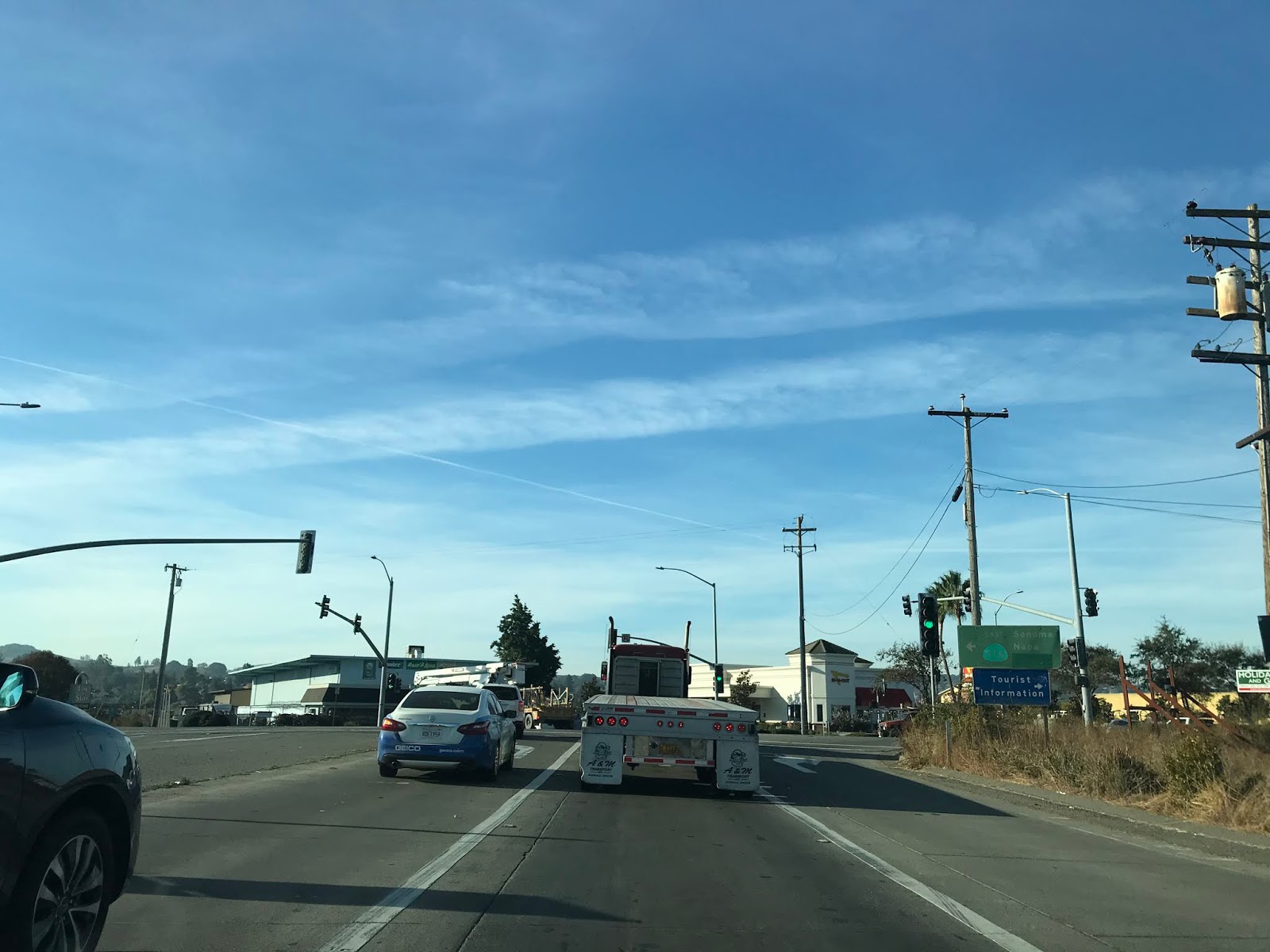
CA 116 east follows Lakeville Highway to the City Limits of Petaluma where it enters a Safety Corridor.


CA 116 east follows Lakeville Highway to Post Mile SON 39.279 where it makes a left hand turn onto Stage Gulch Road.


CA 116 east ascends through Stage Gulch on the namesake Stage Gulch before making a right hand turn at Old Abode Road at Post Mile SON 41.799. The climb through Stage Gulch is probably the most interesting part of CA 116 east of US 101 and is actually quite scenic.


CA 116 east follows Stage Gulch Road to approximately Post Mile SON 44.83 where it transitions onto Arnold Drive.


CA 116 east follows Arnold Drive to a terminus at CA 121.


Comments