
This past October I traveled through Joshua Tree National Park from Park Boulevard south to Box Canyon Road via Pinto Basin Road and Cottonwood Springs Road. Pinto Basin Road and Cottonwood Springs Road act as a continuous roadway which connects the Mojave Desert to the Sonoran Desert via a pass through the Cottonwood Mountains to the Sonoran Desert.
Pinto Basin Road is a 29.7 Park Service Road which connects Park Boulevard south through Mojave Desert to the Cottonwood Visitor Center at the foot the Cottonwood Mountains.
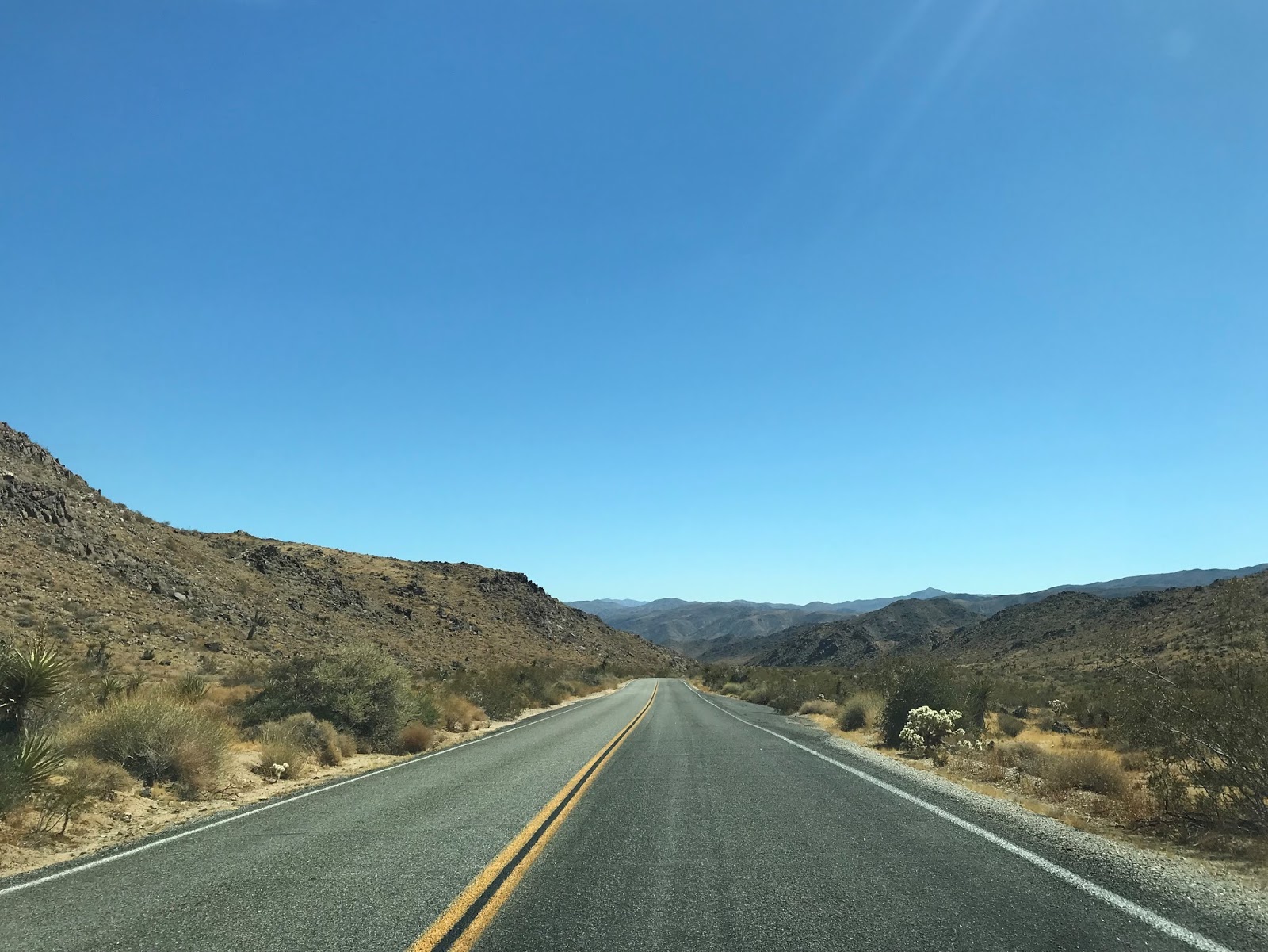
Cottonwood Springs Road from the Cottonwood Visitor Center traverses a pass in the Cottonwood Mountains 7.3 miles south to former US Route 60/70 on Box Canyon Road. Cottonwood Springs Road is the primary access point to Joshua Tree National Park from I-10 which is located just north of Box Canyon Road.

The National Park Service Map of Joshua Tree National Park illustrates that Pinto Basin Road and Cottonwood Springs Road act as a singular 37 mile connecting road.

Part 1; a brief history of Pinto Basin Road and Cottonwood Springs Road
In August of 1936 Joshua Tree National Monument was established over the Little San Bernardino Mountains and surrounding basins that were filled with the namesake Joshua Trees. By the 1930s the terrain that became Joshua Tree National Monument was mostly known for small scale mining operations. A primitive roadway along what is now Cottonwood Springs Road and Pinto Basin Road is shown connecting from Box Canyon Road near Shavers Well northeast to Old Dale Road and Black Eagle Mine Road on the 1935 California Division of Highways Map of Riverside County.

A National Automobile Club from 1926 also shows current Cottonwood Springs Road and Pinto Basin Road as part of the connecting route from Shavers Well north to New Dale/Old Dale. Old Dale (simply Dale at the time) was founded in 1884 on the shore of Dale Dry Lake. Water from Dale Lake was pumped from out of the ground to supply a mining operation which was six miles away. In 1910 the community of Dale was moved to "New" Dale which was in operation until the 1940s. Much of Pinto Basin Road and Cottonwood Springs Road likely were constructed to facilitate the mines of Old Dale and New Dale.

At some point between 1935 and the early 1940s most of the park roads of Joshua Tree National Monument were constructed. Pinto Basin Road is shown connecting all the way to Park Boulevard on a 1944 State Farm Insurance Map of California.

Joshua Tree National Monument was elevated to National Park status by Congress in October of 1994 as part of the California Desert Protection Act.
Part 2; a drive on Pinto Basin Road and Cottonwood Springs Road
My approach to Pinto Basin Road was from eastbound Park Boulevard in the Mojave Desert. I made a right hand turn onto Pinto Basin Road southbound at an intersection known as Pinto Wye. Cottonwood Visitor Center is signed as 30 miles away along with I-10 being shown as 36 miles away.


Pinto Basin Road southbound passes by Belle Campground, the Arch Rock Nature Trail, and White Tank Campground before entering Wilson Canyon.


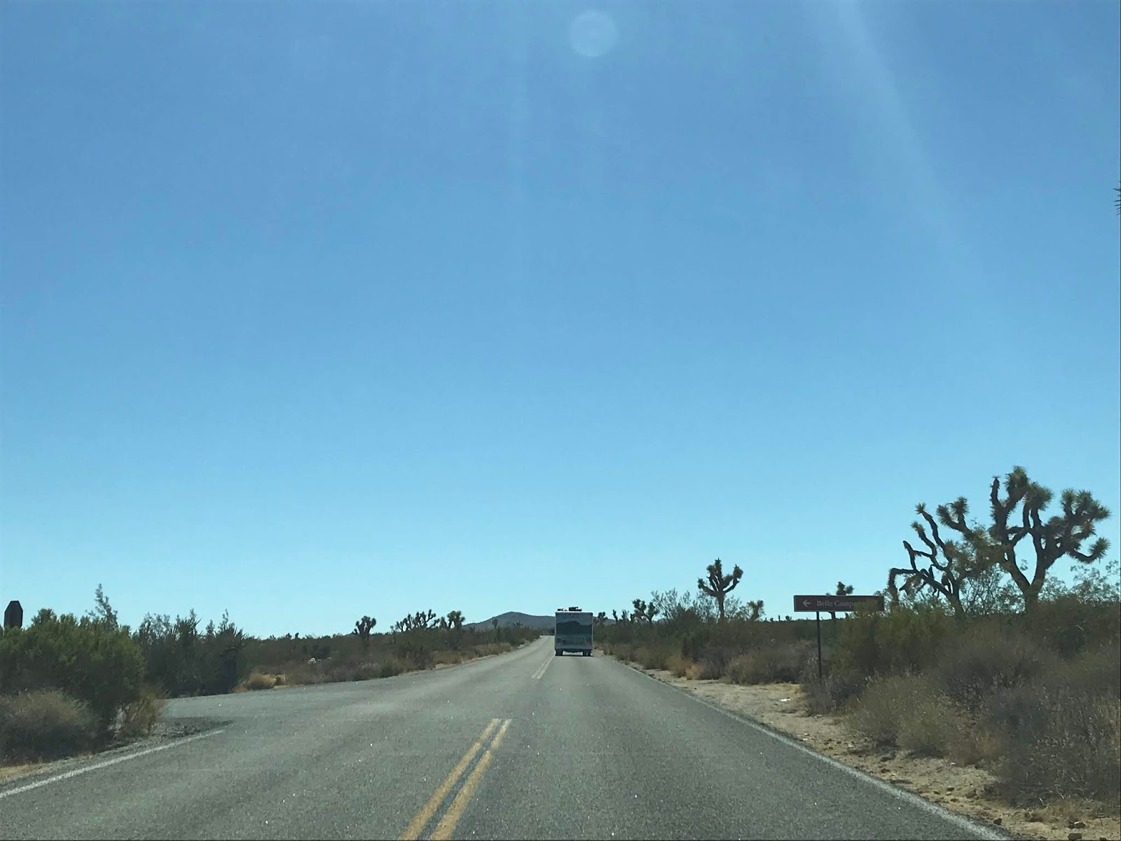


Pinto Basin Road southbound descends through Wilson Canyon and enters the namesake Pinto Basin at the Cholla Cactus Garden.


Pinto Basin Road crosses Pinto Basin in a generally southeast direction passing by the Ocotillo Patch. At the intersection of Old Dale Road/Black Eagle Mine Road the route of Pinto Basin Road swings southwest.


From Old Dale Road/Black Eagle Mine Road the route south on Pinto Basin Road shows Cottonwood Springs 8 miles away along with I-10 13 miles away.

Pinto Basin Road southbound generally follows Smoke Tree Wash to the Cottonwood Visitor Center.


The Cottonwood Visitor is a sparse facility which is located near the Cottonwood Campground. From Cottonwood Campground the namesake Cottonwood Springs and Lost Palm Oasis can be accessed by trail.

Cottonwood Springs Road begins at the Cottonwood Visitor Center and is signed as 7 miles from I-10.

Cottonwood Springs Road southbound crosses the Cottonwood Mountains out of the Joshua Tree National Park limits to I-10 in the Sonoran Desert.


Comments