

Modern road transportation over Altamont Pass didn't begin until 1910 following voter approval of the 1909 First State Highway Bond Act. The 1909 First State Highway Bond Act greatly expanded the roster of State Maintained Highways and the route from French Camp west over Altamont Pass ultimately became part of Legislative Route Number 5.
CAhighways.org Highway Chronology Chapter 1
In October of 1913 the Lincoln Highway was formally dedicated. The Lincoln Highway was routed from French Camp over Altamont Pass on the following alignment:

The Lincoln Highway appears to have been shifted out of Banta by 1918
onto the 11th Street Bypass which can be seen on the State Highway Map
of the same year. The 1918 Division of Highways State Map appears to show straightening of the Lincoln Highway around Mossdale at the San Joaquin River as well.

The alignment of US Route 48 ("US 48") was ultimately selected to be routed from French Camp
west over Altamont Pass and by proxy San Jose in 1926. In the initial
planning stages of the US Route system US 48 was planned as US 42 which
can be seen on a 1925 Rand McNally Highway map of California and Nevada.

The initial draft of the US Route System was approved by the Secretary
of Agriculture during November of 1925. The US Route System with in
California was approved by California Highway Commission with no changes
recommended by January 1926.
US 48 was largely planned to originate at US 99 in French Camp and travel southwest by way of Altamont Pass to San Jose. The proposed US Route 48 can
be seen in the January 1926 California Highways & Public Works.


US 48 ultimately appears between French Camp and San Jose on 1926/1927 commercial maps.
1926 American Association of State Highway Officials US Route Map

1927 Rand McNally Map of Denver, San Francisco and Los Angeles areas

In 1927 the Lincoln Highway was realigned directly west of Sacramento to the Carquinez Bridge which was a far more direct route to the San Francisco Bay Area than US 48 over Altamont Pass or even US 40 over the Benicia-Martinez Ferry. It is not completely clear when the California State Automobile Associate ("CSAA") began signing the US Routes but numerous sources city 1928. In 1928 State Maintenance of LRN 4 out of Stockton shifted to Mariposa Road. This eventually led to a request by the State of California to the AASHO to extend the east terminus of US 48 to Stockton and create a US 48N to Oakland. The request was for US 48 was borne out of US 99 moving out of French Camp to a direct alignment between Stockton-Manteca. The AASHO rejected this concept but offered an alternative which truncated US 48 from San Jose to Hayward and from French Camp to Mossdale. This alternative conceptualized US 101E and the US 99W/US 99E split from Stockton-Manteca. The truncation of US 48, creation of US 101E, and the US 99W/US 99E Stockton-Manteca split was approved in April of 1929 by the AASHO.


The State of California made a request to the AASHO to extend US 50 from Stockton to Oakland in 1931. The AASHO approved US 50 to subsume all of remaining US 48 by June of said year. The State of California would not attempt to resolve US 101E and the US 99W/US 99E Stockton-Manteca split by pursuing deletion of those routes until 1932.


The six custom maps below show the earliest route of the Lincoln Highway compared to that of US 48 based off of all known State Highway map data from French Camp west over Altamont Pass.


While drawing the above maps I was unaware that the Lincoln Highway Associate has a fully interactive map showing every alignment of the Lincoln Highway.
Official Map of the Lincoln Highway
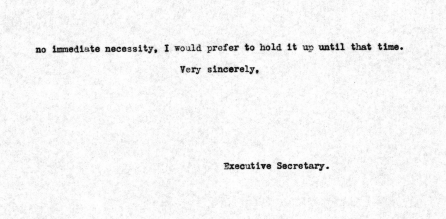
My drive on the Lincoln Highway and US 48 began at what was the eastern terminus of the latter at French Camp Road (former US 99) and Harlan Road. US 48 originally would have turned left and began its westward trek towards Altamont Pass from US 99 north in the photo below. The Lincoln Highway would have continued directly ahead toward I-5 onward to Stockton via was an ultimately an easterly route.

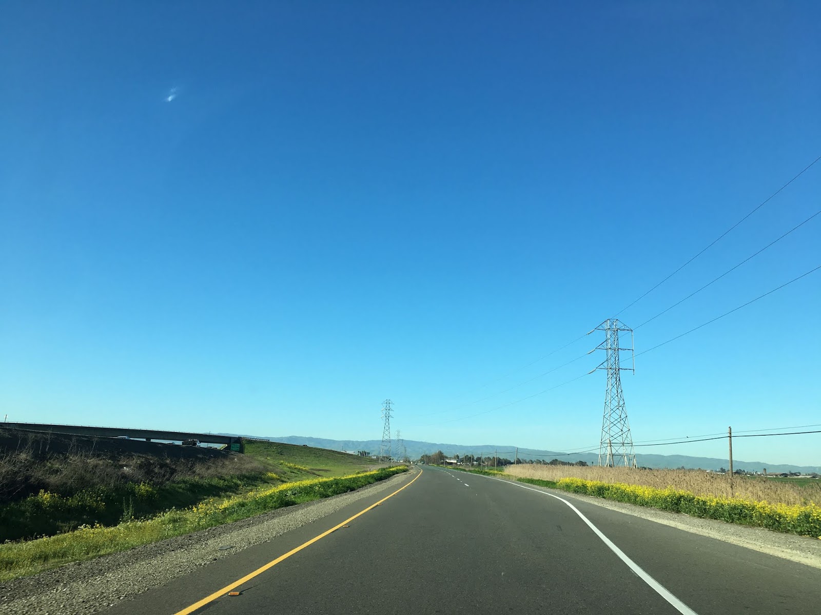
US 48/Lincoln Highway followed the railroad tracks on Harlan Road. Originally the Lincoln Highway continued on French Camp Road where it doubled back towards Harlan Road via Ash Street. Ash Street can be seen in the second photo below.


Harlan Road runs along the eastern flank of I-5 south from French Camp. Harlan Road has numerous Historic Lincoln Highway shields, the first can be seen in the third photo below.


Harlan Road traverses through Lathrop as a frontage road of I-5. The alignment of Harlan Road is shifted on elongated alignments away from I-5 at roadways that carry ramps to the Interstate. The older alignments of US 48 and the Lincoln Highway are largely present as service drives to local businesses.


At Louise Avenue the alignment of Harlan Road straightens one final time approaching a dead end at a Home Depot Distribution Center.


Ahead the junction of the CA 120 freeway and I-5 can be seen to the south. The Lincoln Highway originally ran directly south towards the railroad tracks and turned right towards Manthey Road. When the route of LRN 5 was straightened the alignment of Harlan Road would have eased over what is I-5 to what is Manthey Road. This second alignment would be inherited by US 48 and US 50.

The former convergence point of Harlan Road at Manthey Road is marked by a Lincoln Highway shield on the western flank of I-5.

The Lincoln Highway would have originally run alongside the railroad tracks in the photo below until the underpass was constructed. Just beyond the underpass the second eastern terminus of US 48 can be seen.

Emerging from the underpass the route of CA 120 west ending at I-5 south can be seen ahead. The ground up road on the left was once Yosemite Avenue and where US 99W would have met the second eastern terminus of US 48. US 99W south would have turned left onto Yosemite Avenue.

The former alignment of US 99W on Yosemite Avenue is much more obvious looking back to the north. One can almost envision US 48 east ending at US 99W at this junction. Yosemite Avenue would eventually become the beginning of CA 120 east until it was moved to a freeway alignment.

What was US 99W on Yosemite Avenue can now be walked as a trail underneath the junction of CA 120 and I-5.


Approaching the San Joaquin River the route of Manthey Road enters what is generally considered to be Mossdale. Just east of the San Joaquin River there is a historical marker detailing the 1846 landing of the ship known as the Comet. The Comet was the first sail propelled ship to traverse the San Joaquin River. The landing site of the Comet would later become a ferry crossing of the San Joaquin River in 1848.


There is a small boat launch to the San Joaquin River along Manthey Road known as Mossdale Crossing. From Manthey Road the 1926 Manthey Road Bridge can be seen along with the 1949 Mossdale Highway Bridge on the left. The Mossdale Highway Bridge was part of of a four lane expansion of US 50 and is now part of the ramp of CA 120 east onto I-5.


The Union Pacific San Joaquin River Bridge can be seen from Mossdale Crossing. Interestingly the First Transcontinental Railroad wasn't fully completed in Promontory, Utah but rather here when the first San Joaquin River Bridge opened in September of 1869. The first alignment of the Lincoln Highway would have crossed the rails into the boat launch area in Mossdale Crossing.

The 1926 Manthey Road Bridge shared a location with the 1917 Mossdale Highway Bridge. Both the Lincoln Highway and US 48 would have crossed the San Joaquin River here.


The Lincoln Highway is well signed west of the San Joaquin River along Manthey Road.

Former US 48/Lincoln Highway at Manthey Road has a gap through the junction of I-5 and I-205. The alignment essentially can be followed by jumping onto I-5 and taking to 11th Street which is part of the I-205 Business Loop at Exit 458A.


US 48 followed 11th Street all the way into Tracy. The Lincoln Highway originally split west from 11th Street towards Banta on Grant Line Road/Signed County Route J4.


The Lincoln Highway is well co-signed on CR J4 west to G Street in Banta.


The Lincoln Highway turned left at 7th Street in downtown Banta. From downtown Banta the Lincoln Highway originally followed F Street and Banta Road back to 11th Street on the outskirts of Tracy. Banta was a siding of the First Transcontinental Railroad and the community still has some structures dating back to it's heyday such as the 1879 Banta Inn.


US 48 never was routed through Banta and always used the 11th Street Bypass.

US 48 would have followed 11th Street into Tracy on the 1936 11th Street Rail Overpass. Lincoln Highway signage on 11th Street resumes west of Banta Road.


Tracy has similar rail siding roots dating back to the Central Pacific much akin to Banta. Whereas Banta never really grew beyond a rail siding Tracy is now a City which essentially is the eastward most suburban extension of the San Francisco Bay Area. 11th Street at Central Avenue in particular still resembles an early US Route from the nearby building motif.


West of Tracy Boulevard the route of 11th Street crosses a set of rails. Both US 48 and the Lincoln Highway would have turned immediately right after crossing the rails onto Byron Road. Byron Road no longer connects all the way to 11th Street.


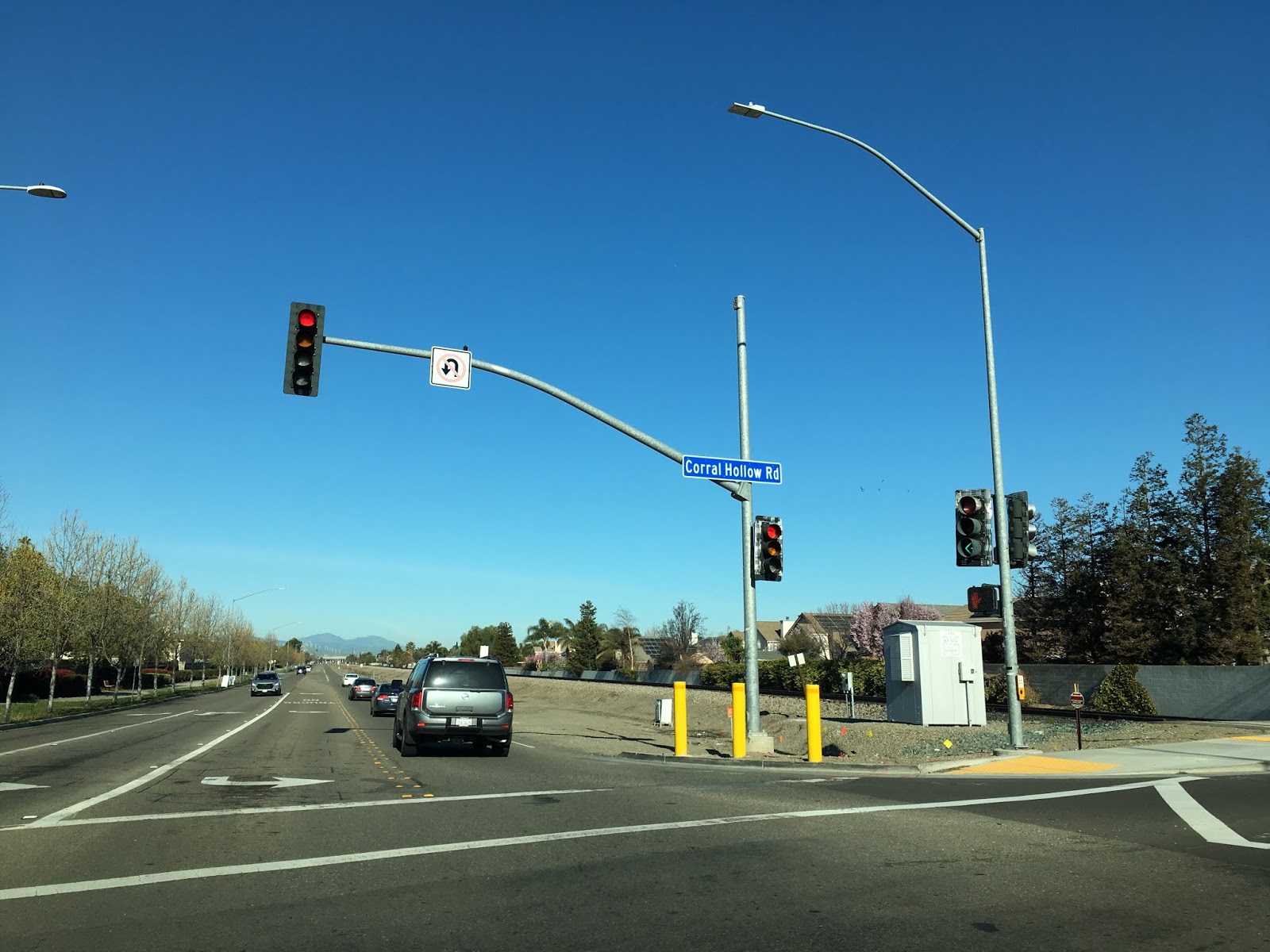
Accessing Byron Road now requires a northward turn on Corral Hollow Road/CR J2.


Both US 48 and Lincoln Highway followed Byron Road northwest out of Tracy all the way to west Grant Line Road where a western turn was made. The alignment of US 48 and Lincoln Highway is briefly signed as part of CR J4 between east Grant Line Road and west Grant Line Road.


Both US 48 and the Lincoln Highway followed Grant Line Road west into Alameda County approaching Altamont Pass.


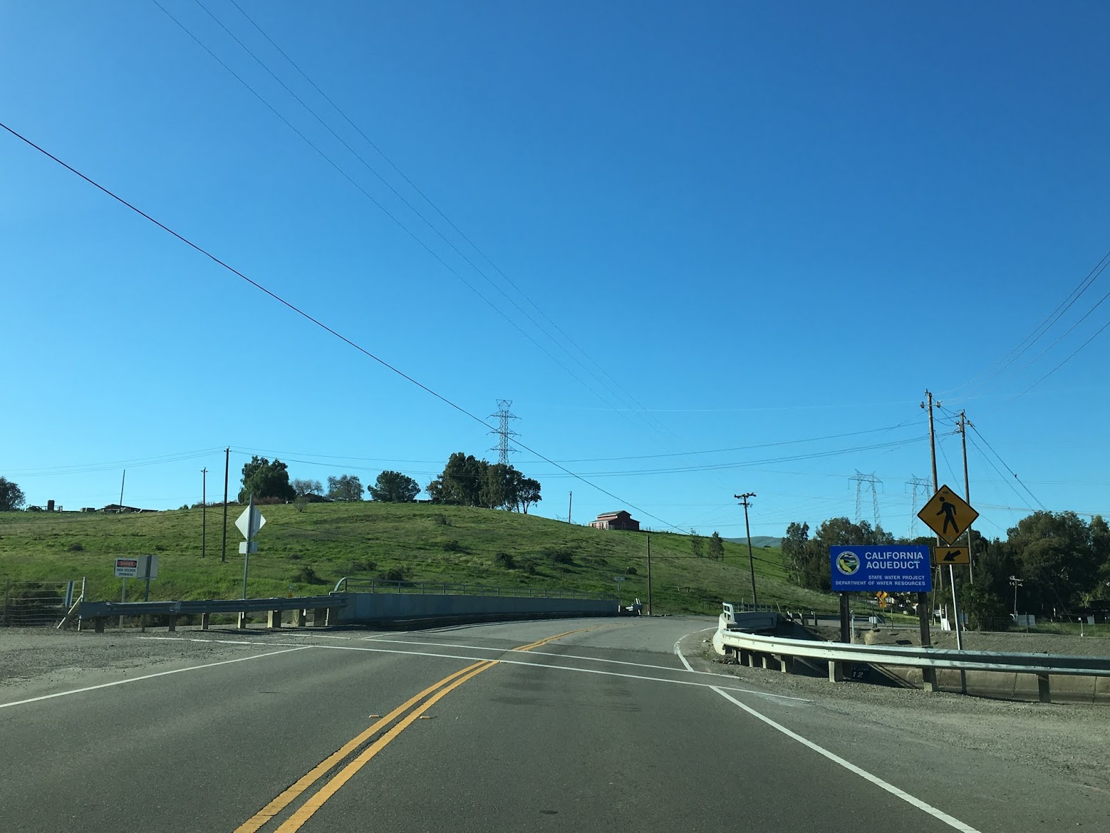
Grant Line Road crosses the Delta-Mendota Canal almost immediately upon entering Alameda County.

US 48 and the Lincoln Highway followed Grant Line Road west over what is now the location of the California Aqueduct to Altamont Pass Road. US 48 and the Lincoln Highway made a right hand turn onto Altamont Pass Road as did US 50 until 1937. After 1937 the route of US 50 followed Grant Line Road onto an expressway grade presently on an alignment over what is now New Altamont Pass on I-580. Amusingly Altamont Pass Road was signed as a I-580 detour route when I took my photos.


US 48 and the Lincoln Highway followed Altamont Pass Road to the 741 foot Altamont Pass.


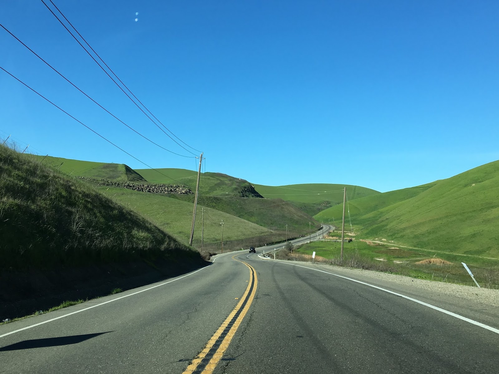


From Altamont Pass the grade of the Western Pacific Railroad ascends above Altamont Pass Road. The flat grade on the left is the former route of the Central Pacific First Transcontinental Railroad. The Altamont Pass Rail Overpass dates back to 1907 when the Western Pacific was building it's line through Altamont Pass. The Western Pacific Railroad was added to the Union Pacific in 1983 which already had control of the former Central Pacific grade through Altamont Pass. The former Central Pacific line was abandoned in 1984 in favor of the Western Pacific grade.


Immediately west of Altamont Pass the route of US 48 and the Lincoln Highway passed through the siding community of Altamont. Interestingly Altamont Pass takes it's current name (formerly Livermore Pass) from the siding and not the reverse. Not much from Altamont remains aside from a scant number of structures such as the Summit Garage.

US 48 and the Lincoln Highway followed Altamont Pass Road west into Livermore. The descent from Altamont Pass offers fantastic views of the Western Pacific bridge work and I-580 descending from New Altamont Pass. The former route of US 48 and the Lincoln Highway merges into what is now the eastbound lanes of I-580 upon entering Livermore.


Comments