Scenic Road (Carmel-by-the-Sea)


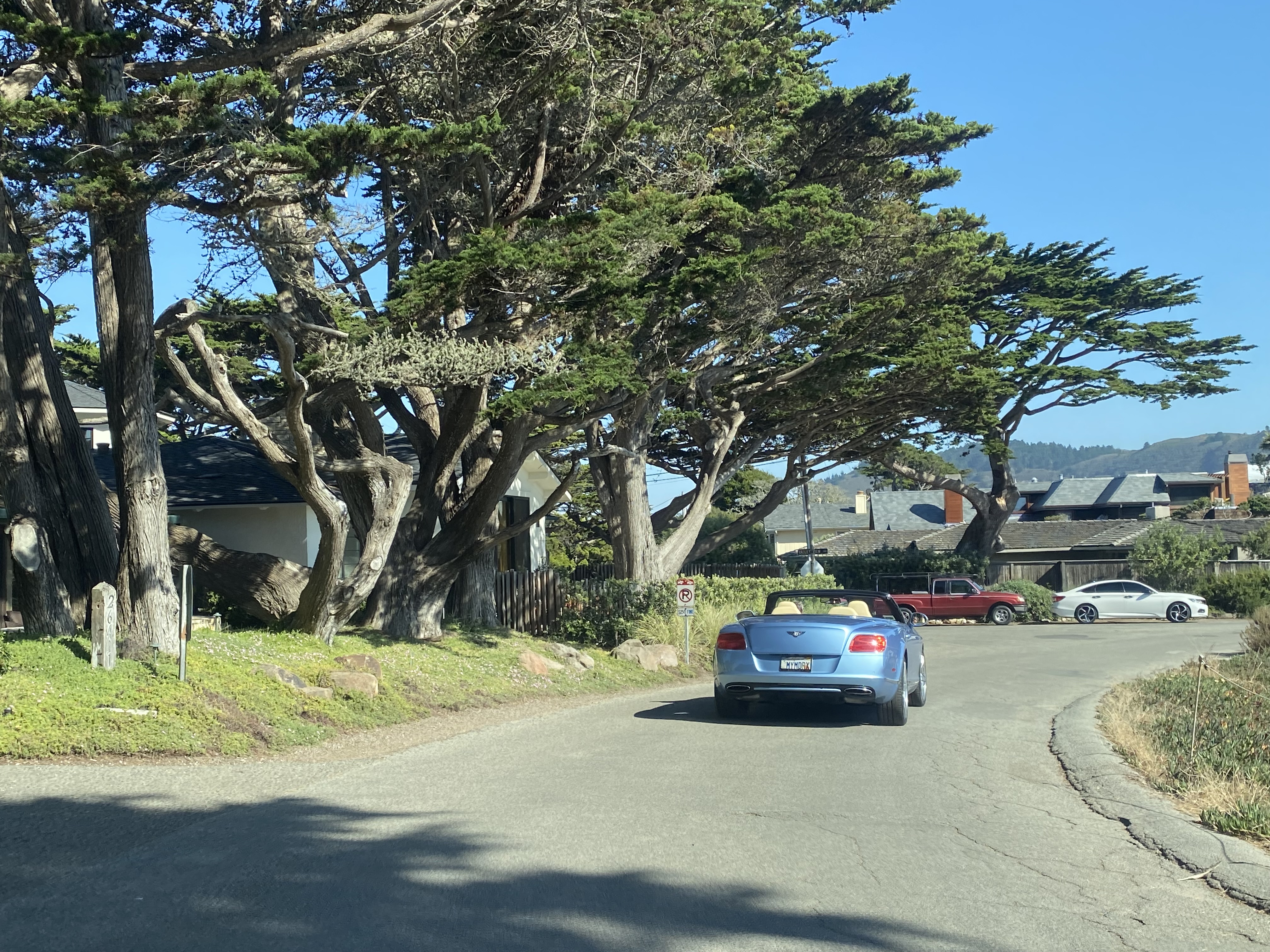
Scenic Road is a 1.5-mile street located in and around the city of Carmel-by-the-Sea, California.  The corridor was developed as part of a 1902 subdivision which formed the basis for the modern Carmel town plot.  The routing of Scenic Road follows Carmel Bay from Ocean Avenue southward Mara Beach by the Carmel River.  The street offers numerous coastal views, is free to use and aligned for southbound-only traffic.  


Part 1; the history of Scenic Road

Prior to European contact Carmel Valley was home to numerous local tribes.  The area was first explored by Europeans during a 1542 Spanish expedition led Juan Rodriguez Cabrillo.  The Cabrillo expedition sailed along the coastline north through Big Sur, Carmel Valley and Monterey Peninsula, but made no attempt to land.  

In 1602 Sebastián Vizcaíno discovered Carmel Valley at the behest of Spain and named the river running through it Rio Carmel.  The name is thought to be an honorific reference to three Carmelite friar which were part of the expedition.  The Spanish would not attempt to colonize the area until 1770 when the Catholic Mission San Carlos Borromeo de Carmelo was established.  

Following the Mexican-American War the lands around Carmel Bay became part of the American state of California.  Numerous settlers would buy up plots of land on Carmel Bay and Carmel Valley from the 1850s through the 1880s.  During 1889 Monterey property developer Santiago J. Duckworth filed a subdivision map with Monterey County.  The subdivision plot was simply known as "Carmel" and the area would even receive erratic on/off Postal Service.  

During 1902, James Franklin Devendorf and Frank Hubbard Powers, would submit another subdivision map with Monterey County which established much of the modern town plot of Carmel.  The plot included what is now "Scenic Road" which ran along the waterfront of Carmel Bay.  The community would incorporate as the city of "Carmel-by-the-Sea" on October 31, 1916.  The name "Carmel-by-the-Sea" was a reference to the early publicity campaign to spur interest in the area.  

Scenic Road appears in detail on the 1938 Thomas Brothers Map of Carmel-By-The-Sea


Part 2; a drive on Scenic Road

Scenic Road begins from the western terminus of Ocean Avenue at the parking lot for Carmel Sunset Beach.  Traffic is forced to loop through the parking lot to reach the one-way only southbound Scenic Road.  


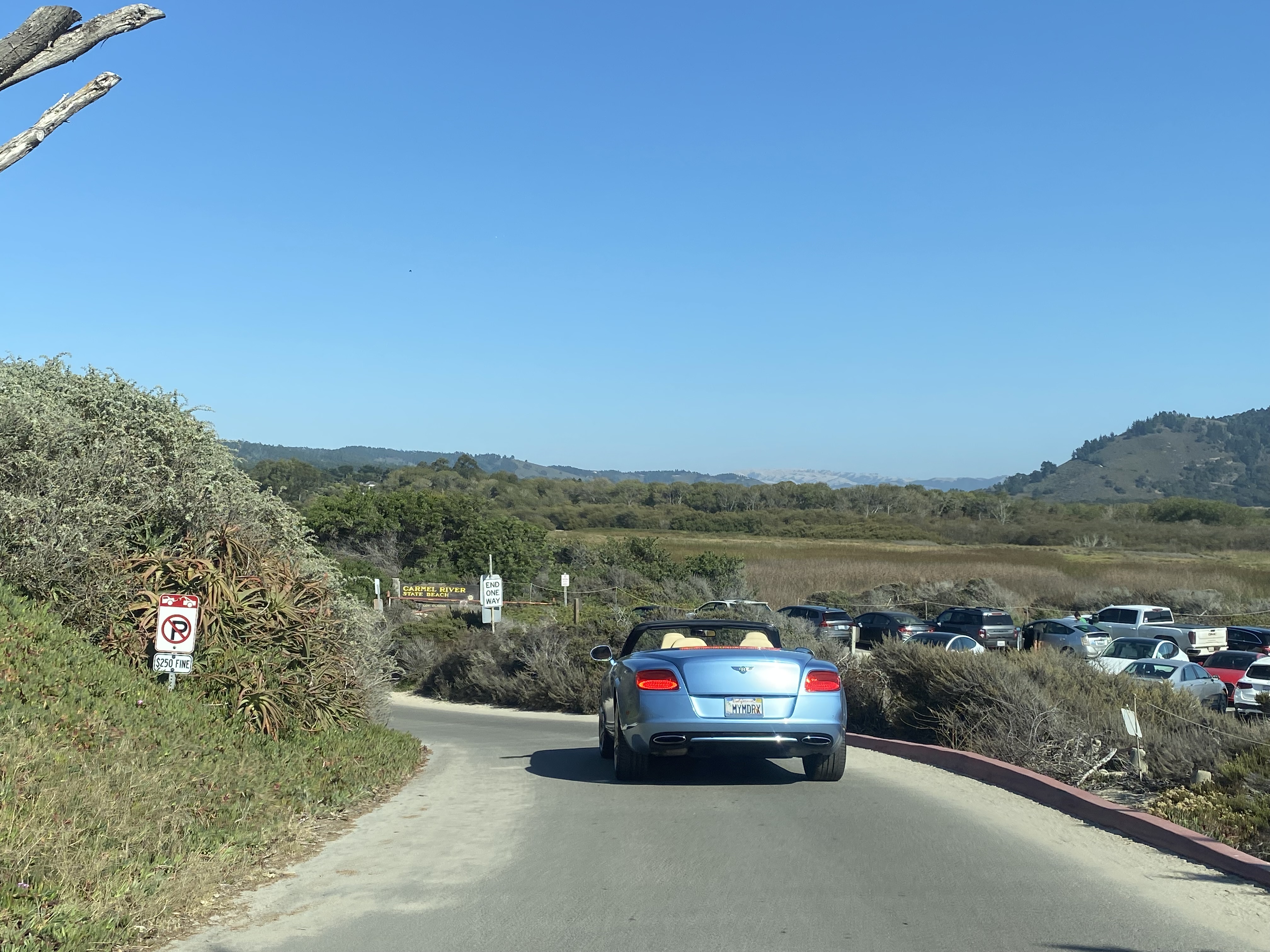
Scenic Road follows the course of Carmel Bay southward and dips inland to a terminus at the parking lot for Mara Beach.  The corridor passes numerous beaches and higher end homes built along the coastline.  At Mara Beach traffic transitions to the two-way Carmelo Street heading northbound.  


Comments

Popular posts from this blog

New River Gorge National Park & Preserve - Thurmond

New River Gorge National Park and Preserve is best known for whitewater rafting and other forms of adventure tourism.  Yet, found in the hollows and isolated valleys are quiet farms and former coal mining towns.  Well off the beaten path and isolated from much of its surroundings, Thurmond provides a unique view into Central West Virginia's industrial past. Thurmond began as a railroad town in the late 1800s.  Sparked by the arrival of the Chesapeake & Ohio Railroad and the local coal industry, Thurmond quickly grew into a sizeable transportation and coal center.  When it incorporated as a town in 1903, Thurmond was a full-fledged community - home to two banks, two hotels, and many other services and stores. A CSX freight train passes the old coaling tower in Thurmond.  It was here that many steam locomotives would refill and refuel. Thurmond was home to a C&O railyard which serviced the numerous steam engines passing through the narrow valley.  Thu...

The Tale of Tollhouse Road, western California State Route 168 and failed Piute Pass Highway

Western California State Route 168 is entirely located in Fresno County and is linked historically to the Tollhouse Road corridor.   Tollhouse Road is one of the oldest highways in the Sierra Nevada range of Fresno County. The corridor presently begins in at Clovis Avenue in downtown Clovis and extends northeast to Huntington Lake. In 1866 the Woods Brothers established mining claims on Pine Ridge. In 1867 Fresno County would grant the brothers a toll franchise to construct a roadway to the desirable logging areas atop Pine Ridge and near Dinkey Creek. The Woods would establish a tollhouse at the start of their franchise road and lumber mill. The lumber mill attracted settlers which led to the establishment of the mountain town of Tollhouse. Fresno County would purchase the Tollhouse Road in 1878 and make it a public highway. The county would remove the tolls and incorporate the corridor into the existing county road network. Prior to the establishment of Clovis in 1...

California State Route 73

California State Route 73 is 21 mile limited access highway aligned over the Corona del Mar Freeway and San Joaquin Hills Toll Road.  California State Route 73 connects Interstate 5 near San Juan Capistrano westward to Interstate 405 in Costa Mesa.  Prior to the construction of the Corona del Mar Freeway and San Joaquin Hills Tollway California State Route 73 was a surface highway located on largely MacArthur Boulevard. Part 1; the history of California State Route 73 What became California State Route 73 ("CA 73") entered the State Highway System in 1933 as Legislative Route Number 184 ("LRN 184").  LRN 184 was given the following route definition: "LRN 60 near Corona Del Mar to Santa Ana via Main Street" LRN 184 was announced in the April 1933 California Highways & Public Works .   LRN 184 appears for the first time on the  1934 Division of Highways Map .   LRN 184 appears under State Maintenance from US Route 101/LRN 2 in Santa Ana south ...