
Nevada State Route 160 is an 80.326-mile state highway located in Clark County and Nye County. The highway corridor serves as the primary access route between Las Vegas Valley and Pahrump Valley via Mountain Springs Summit. The so-called Pahrump Valley Highway was completed during the 1955-1956 Fiscal Years and didn't receive a state highway number until being assigned as Nevada State Route 160 in 1976. The current corridor of Nevada State Route 160 also includes what was Nevada State Route 16 north of Pahrump to US Route 95.

Part 1; the history of Nevada State Route 160
Current Nevada State Route 160 uses Mountain Springs Summit to cross the Spring Mountains between Las Vegas Valley and Pahrump Valley. The summit came to significance during an expedition led by John C. Fremont in 1844. The corridor was most famously used as part of Fremont's Cutoff along the Old Spanish Trail during the era of the California Gold Rush.
Pahrump Valley was originally inhabited by the Southern Paiute. The name (originally Pahrimp) for the valley was coined in 1872 by George M. Wheeler who was one of the first settlers to describe the area in detail. Pahrump would more or less come into existence as community when ranchers began to populate the area from the late 1860s through the 1880s.
Pahrump was initially served by Nevada State Route 16. The highway originated at Nevada State Route 5 (now US Route 95) near Johnie. From Johnie the highway passed through Pahrump and Cathedral Canyon to the California state line near Sandy Valley. Nevada State Route 16 was of the original state highway corridors and can be seen on the 1929 Nevada Department of Highways map.

Pahrump was not initially connected Las Vegas Valley via a state highway over the Spring Mountains. This changed in 1947 when Nevada State Route 85 appears for the first time on the Nevada Department of Highways map. Nevada State Route 85 is shown originating in downtown Las Vegas at Nevada State Route 5C (Rancho Drive). The highway is shown following Charleston Boulevard westward to Red Rock Canyon and ascending the Spring Mountains via Red Rock Summit.

Nevada State Route 85 appears with the following definition in the 1951 Nevada Revised Statutes (courtesy roadfro):
"Route 85. From a connection with route 16 near the Nevada-California state line, easterly via the southerly end of the Spring Mountains to a connection with route 5c in the city of Las Vegas."
Nevada State Route 85 appears in detail on a 1952 Nevada Department of Highways map of Clark County. The map also displays an unnumbered state highway having been constructed east of Nevada State Route 85 in Pahrump Valley over Mountain Springs Summit to Las Vegas Valley near Blue Diamond.


The 1953 Nevada Department of Highways map displays the new state highway over Mountain Spring Summit as being paved from the summit itself east to US Routes 91 and 466.

The Nineteenth Biennial Report of the Department of Highways (July 1953-June 1954) mentions the then new Pahrump Valley Highway as being under state maintenance. A Department of Highways maintenance station was established at Mountain Springs Summit. The first paved road in Pahrump was also surfaced during 1953.

The 1955 Nevada Department of Highways map displays the Pahrump Valley Highway completed from Nevada State Route 85 northwest directly to Nevada State Route 16 in Pahrump.

The Twentieth Department of Biennial Report of the Department of Highways (July 1955-June 1956) references the Pahrump Valley Highway as being complete during the fiscal period.

Prior to 1963 there was no publicly supplied electricity in Pahrump. The ease of access to Pahrump Valley Highway coupled with the modernization of infrastructure in the community saw it begin to rapidly grow during the second half of the twentieth century.
Nevada State Route 85 is shown to be dropped on the 1965-1966 Nevada Department of Highways map. Despite the relinquishment the Pahrump Valley Highway is still shown without a state highway number.

Pahrump Valley Highway wasn't assigned a route number until the 1976 Nevada State Highway Renumbering. The corridor of Pahrump Valley Highway along with Blue Diamond Road were assigned as part of Nevada State Route 160. The designation of Nevada State Route 160 also consumed what was Nevada State Route 16 from Pahrump north to US Route 95. The original portion of Nevada State Route 16 south of Pahrump to the California state line was dropped from the system.
Nevada State Route 160 appears for the first time on the 1978 Nevada State Highway Department map.

Through much of the 2000s Nevada State Route 160 from Pahrump to Interstate 15 has been expanded to expressway standards. In 2007 the eastern terminus of the highway was realigned to meet Las Vegas Boulevard at Windmill Lane. During the late 2010s the highway was expanded over Mountain Springs summit.
Part 2; a drive on Nevada State Route 160
Interstate 15 in the Las Vegas area community of Enterprise intersects Nevada State Route 160 at Exit 33 for Blue Diamond Road.

Westbound Nevada State Route 160 follows Blue Diamond Road and passes through Enterprise. The highway transitions to Pahrump Valley Highway at the junction of Nevada State Route 159 in Blue Diamond. The community lies at an elevation of 3,708 feet above sea level and is named after the Blue Diamond Gypsum Mine which began operations in 1923. The Blue Diamond company town (originally Blue Diamondville) opened in 1942.


Nevada State Route 160 west of Nevada State Route 159 is signed as being 9 miles from Mountain Springs and 42 miles from Pahrump.

Nevada State Route 160 continues west over the Spring Mountains and crosses Mountain Springs Summit at 5,490 feet above sea level. The highway passes through the Spring Mountains National Recreation Area of Humbolt-Toiyabe National Forest.


From Mountain Springs Summit, Nevada State Route 160 descends westward into Pahrump Valley. The expressway segments of the highway are signed at a 70 MPH speed limit in Pahrump Valley.


Nevada State Route 160 intersects Sandy Valley Road.

Westbound Nevada State Route 160 next intersects Tecopa Road.


Westbound Nevada State Route 160 enters Nye County.


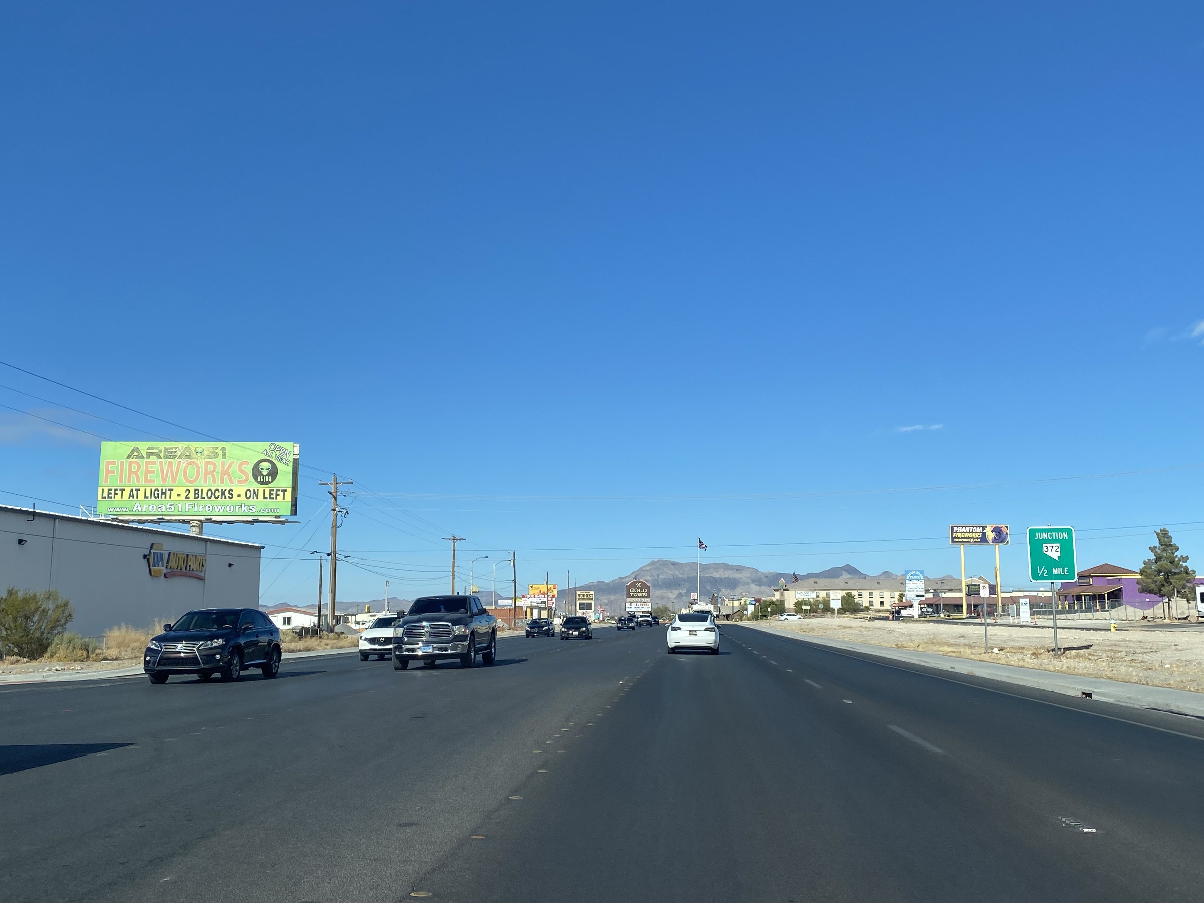
Nevada State Route 160 narrows to two-lanes upon entering Pahrump and intersects Nevada State Route 372.


Nevada State Route 160 passes through Pahrump and turns northward towards US Route 95. The highway intersects Bell Vista Road at the outskirts of Pahrump. Bell Vista Road can be used to access Death Valley National Park and Ash Meadows National Wildlife Refuge.


Comments