Alfred Harrell Highway is an approximately eleven-mile highway maintained by the Kern County along the Kern River northeast of Bakersfield. Alfred Harrell Highway between Panorama Drive east to the boundary of Hart Memorial Park is an approximately six-mile freeway grade constructed during 1955-1959. The freeway segment of Alfred Harrell Highway is disconnected from all other limited access highway grades and retains a 1950s-era standard rarely seen elsewhere in California. Alfred Harrell Highway east of Hart Memorial Park to California State Route 178 is constructed to two-lane expressway standards. Alfred Harrell Highway incorporates a segment of the 1850s-era Stockton-Los Angeles Road via the China Grade at it's western terminus. Depicted as the blog cover is Alfred Harrell Highway at the China Grade of the Kern River Bluff as seen in the March/April 1960 California Highways & Public Works.
Part 1; the history of Alfred Harrell HighwayThe oldest component of what is now Alfred Harrell Highway is what is now known as the China Grade up the Kern River Bluff. The China Grade was once part of the stage route known as the Stockton-Los Angeles Road. The Stockton-Los Angeles Road came into use after the 1853 Kern River Gold Rush began. The Stockton-Los Angeles Road was a replacement of the earlier El Camino Viejo. Unlike the El Camino Viejo the Stockton-Los Angeles Road avoided the dense Tule Marches in San Joaquin Valley. The Stockton-Los Angles Road stayed close to the Sierra Nevada Mountain foothills near the new claims on the Kern River watershed.
The China Grade specifically was used by the Stockton-Los Angeles Road to descend the Kern River Bluff to Gordon's Ferry at the Kern River. The Stockton-Los Angeles Road can be seen utilizing China Grade and Gordon's Ferry on the 1857 Britton & Rey's map of California.
The popularity of the Stockton-Los Angeles Road began to decline rapidly as the Central Pacific Railroad through San Joaquin Valley was built through the 1870s. Farm diversions for irrigation in San Joaquin Valley and the presence of various rail sidings along the Central Pacific Railroad spurred infrastructure development which made development through previous wetlands easier.
During the 1870s Chinese settlers in the Bakersfield area improved the route of the Stockton-Los Angeles Road down the Kern River Bluff. These settlers used the Kern River Bluff to search for watercress along the Kern River in the vicinity of location of Goron's Ferry. In time the route down the Kern River Bluff came to be known as the China Grade in reference to the settlers who improved it. In 1899 the Kern River Oil Field was discovered north of the Kern River Bluff and the China Grade an important access route to reach it. During the 1910s the China Grade was improved by Kern County and a bridge was installed at Gordon's Ferry to permit east access the Kern River Oilfield.
Below the China Grade can be seen snaking down the Kern River Bluff in a 1910-1915 era photo from the Antique Collection of Michael J. Semas Facebook page.
The original Kern River Bridge at Gordon's Ferry can be seen below in a photo dated to 1918.
The bulk of Alfred Harrell Highway was built specifically to reach what is now known as Hart Memorial Park. During 1921 Kern County Supervisor John Hart headed an effort to purchase land east of Gordon's Ferry to establish a county park. The new county park would be constructed largely by way of private funding which was largely sourced from the efforts spurred by John Hart. Kern River Park was ultimately dedicated and opened to the public on May 5, 1929. Kern River Park was connected to the China Grade Loop near Gordon's Ferry via the newly constructed Alfred Harrell Highway. From Kern River Park, Alfred Harrell Highway continued east to Legislative Route Number 57 at Kern Canyon Road (future California State Route 178).
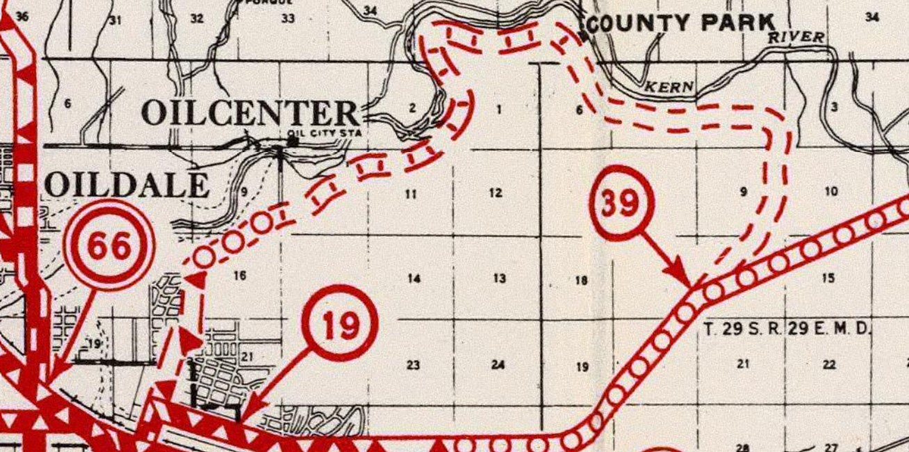
Alfred Harrell Highway can be seen in detail on the
1935 Division of Highways Map of Kern County. Notably Alfred Harrell Highway is shown terminating at California State Route 178/Kern Canyon Road via what is now Lele Place.
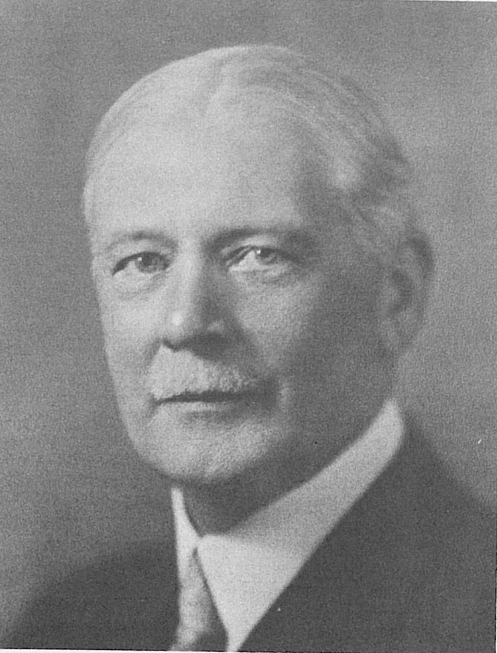
Alfred Harrell Highway was named in honor of Bakersfield Californian publisher Alfred Harrell.
Alfred Harrell was born in Merced on November 10, 1863. Harrell was educated in the city of Oakland and moved to Kern County during 1882 to become a teacher. During 1897 Harrell purchased the Daily Californian for $1,000 which he would rename the Bakersfield Californian by 1907. As the fortunes of the Bakersfield Californian improved Harrell would become influential in the development of highways and other infrastructure in Kern County. Alfred Harrell died on December 14, 1946, at the age of 83.
During 1947 Kern River Park would be renamed Hart Memorial Park in honor of the efforts made by John Hart to develop it. Hart Memorial Park would expand in size during the 1940s and 1950s to 370 acres to 1,012 acres. The increasing recreational use of Hart Memorial Park led to a strain on existing Alfred Harrell Highway which was becoming increasingly congested.
Kern County studied expanding Alfred Harrell Highway from Panorama Drive east to Hart Memorial Park as a freeway during 1955. The initial plans for the freeway expansion of Alfred Harrell Highway included a future expansion which would see it continue as a limited access grade east of Hart Memorial Park to California State Route 178 near Kern River Canyon. The planned freeway expansion of Alfred Harrell Highway was approved by the California Highway Commission on September 25, 1956 and added by the United State Bureau of Public Roads as Federal Aid-Secondary Program 885 on November 5, 1956.
The freeway interchange between China Grade Loop to Alfred Harrell Highway was completed during October 1957 and was featured in the
November/December 1957 California Highways & Public Works. The westbound lanes of Alfred Harrell Highway annexed the China Grade on the Kern River Bluff as part of the new limited access alignment. New eastbound lanes for Alfred Harrell Highway were constructed from the intersection of Panorama Drive and Mount Vernon Avenue via an 8% downhill grade.


Alfred Harrell Highway would be widened to a freeway between the China Grade Loop interchange east to the boundary of Hart Memorial Park by August 1959. The completed freeway alignment of Alfred Harrell Highway between Panorama Drive and Hart Memorial Park was featured in the
March/April 1960 California Highways & Public Works. The article stub cites weekend traffic counts on Alfred Harrell Highway were exceeding 15,000 vehicles per day. Then popular attractions at Hart Memorial Park at the time are cited to include the 107-acre boating lake and an 18-hole golf course.


The freeway expansion of Alfred Harrell Highway east of Hart Memorial Park would ultimately never be constructed. During 1959 Ming Lake was dedicated at the eastern end of Hart Memorial Park. Eastern Alfred Harrell Highway was improved/realigned in the vicinity of Lake Ming and eastward to California State Route 178. The differences in the original alignment of Alfred Harrell Highway to the 1960s-era improvements can be seen by comparing the 1956 United States Geological Survey Map of Bakersfield to the 1962 edition.
Part 2; a drive on Alfred Harrell Highway
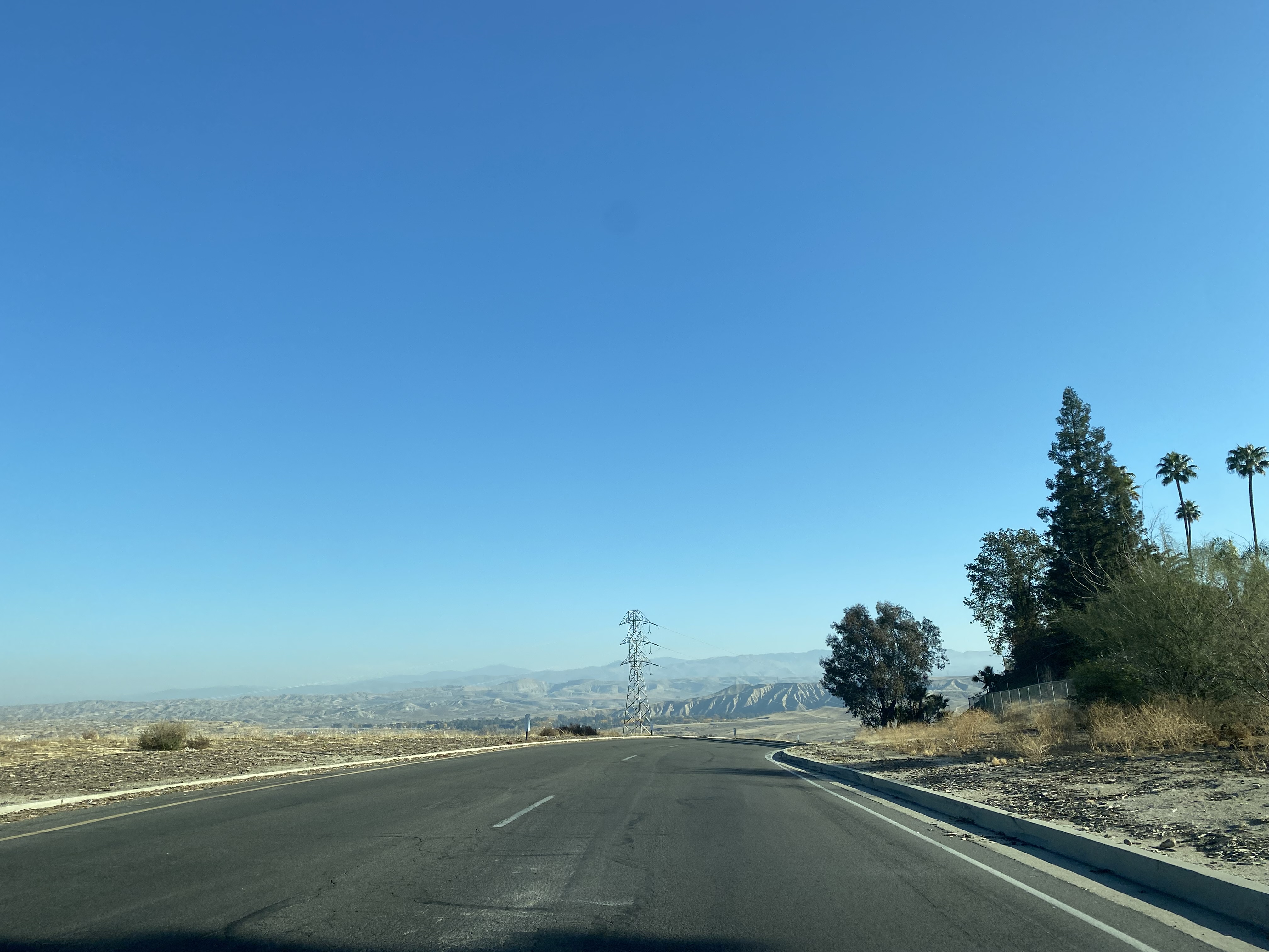
Westbound Alfred Harrell Highway begins from California State Route 178/Kern Canyon Road in eastern Bakersfield.
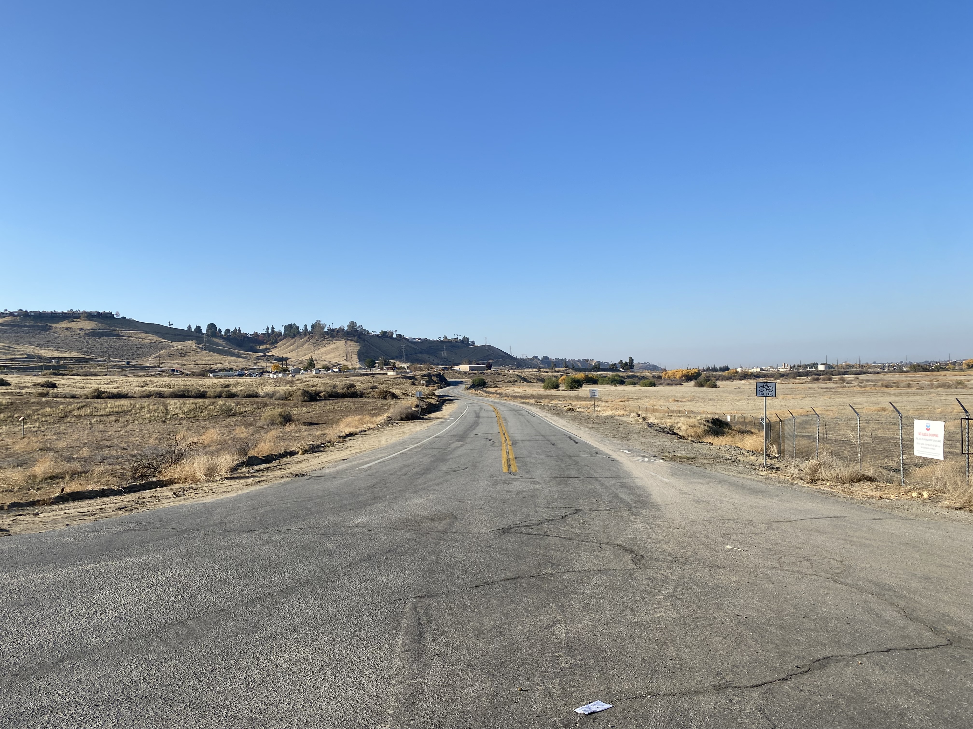
Westbound Alfred Harrell Highway begins as a two-lane expressway grade. Signage notes the California Living Museum (CALM) is three miles ahead.
The original abandoned alignment of Alfred Harrell Highway can be observed to the left approaching Allegheny Court.
Alfred Harrell Highway continues westbound towards Cattle King Estates. The original alignment of Alfred Harrell Highway can be seen on the right in the fourth photo below.
Alfred Harrell Highway westbound intersects Lake Ming Road which serves as access to Cattle King Estates, Lake Ming and the Kern River Golf Course.
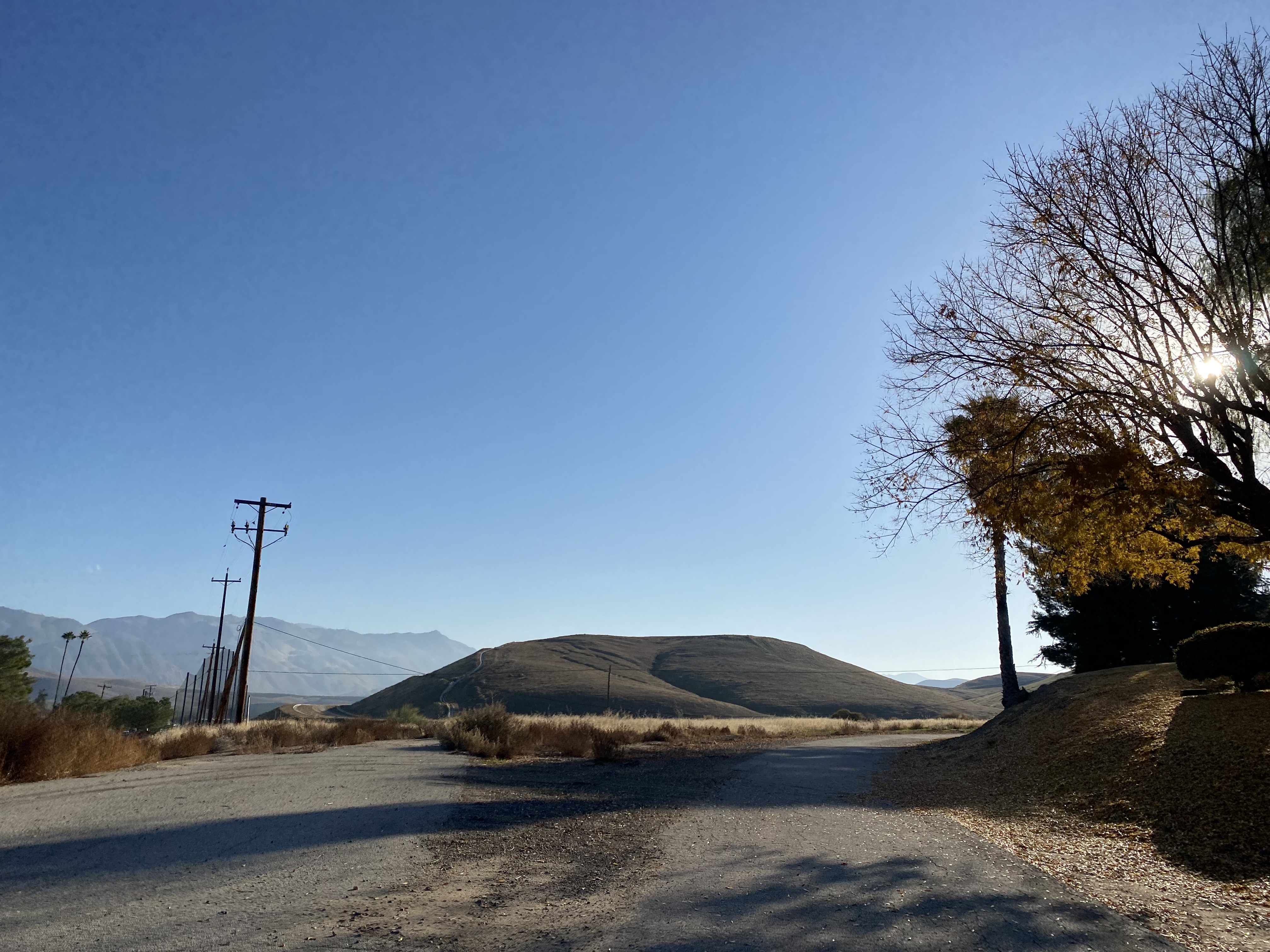
The sparsely maintained original alignment of Alfred Harrell Highway can be found skirting the boundary of Cattle King Estates.
From Lake Ming Road the California Living Museum is signed as being one mile west on Alfred Harrell Highway.
Westbound Alfred Harrell Highway passes by the entrance to the California Living Museum.
The entrance drive to the California Living Museum is part of the original alignment of Alfred Harrell Highway. The California Living Museum was founded during 1980 and opened to the public during 1983. The California Living Museum is the largest wildlife rehabilitation center in southern San Joaquin Valley.
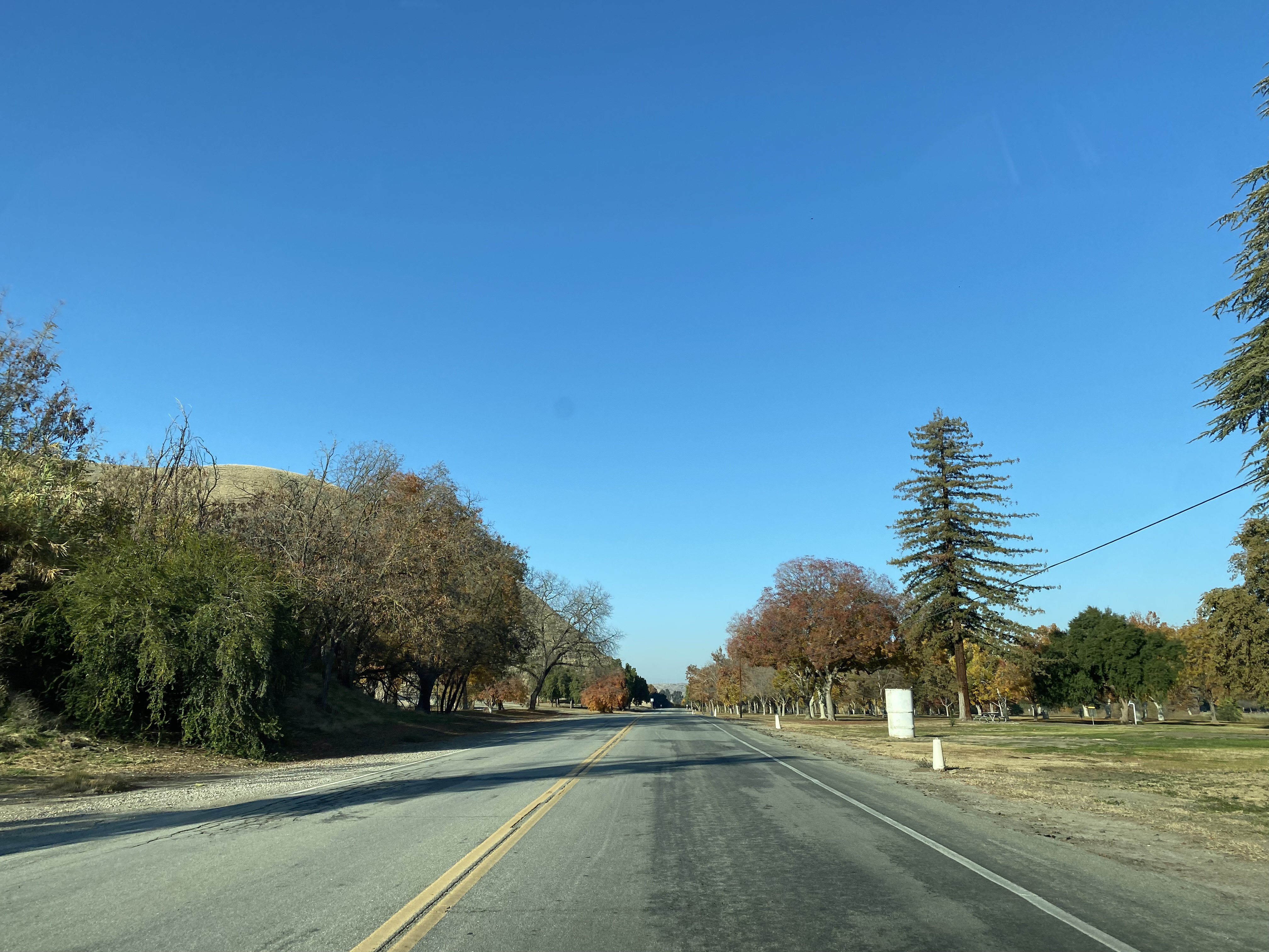
Alfred Harrell Highway continues west from the California Living Museum to the main annex of Hart Memorial Park. Alfred Harrell Highway becomes a conventional highway in Hart Memorial Park and makes a left hand turn at River Road.
River Road as the name suggests can be used to access the Kern River.
Alfred Harrell Highway westbound passes through Hart Memorial Park and expands to a freeway at the western park boundary.
Below is a series of views of the Hart Memorial Park entrance gates from the eastern end of the freeway segment of Alfred Harrell Highway.
Eastbound traffic on Alfred Harrell Highway is greeted with a large map of Hart Memorial Park at the end of the freeway grade.
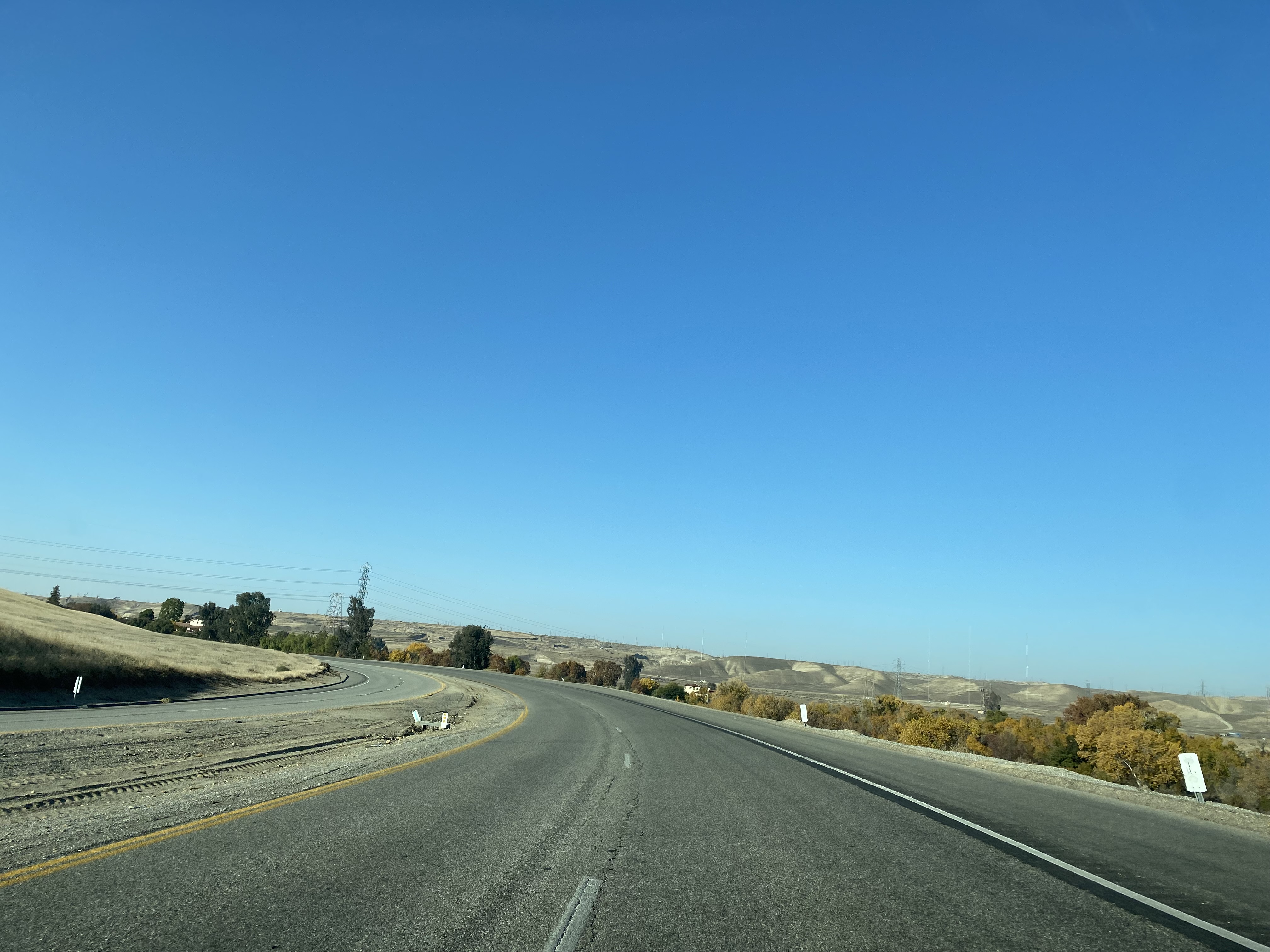
The freeway segment of Alfred Harrell Highway begins and speed limit increases to 55 Miles Per Hour. The freeway segment of Alfred Harrell Highway has a median but no center divider. At the first freeway interchange on Alfred Harrell Highway traffic can access Goodmanville Road.
Westbound Alfred Harrell Highway intersects Fairfax Road at the next freeway interchange.
Turning right from the Fairfax Road interchange traffic can access Old Alfred Harrell Highway. A crumbing asphalt segment of Old Alfred Harrell Highway can be observed east behind a fence line. It appears Portland Cement nor concrete was used in the construction of any generation of Alfred Harrell Highway.
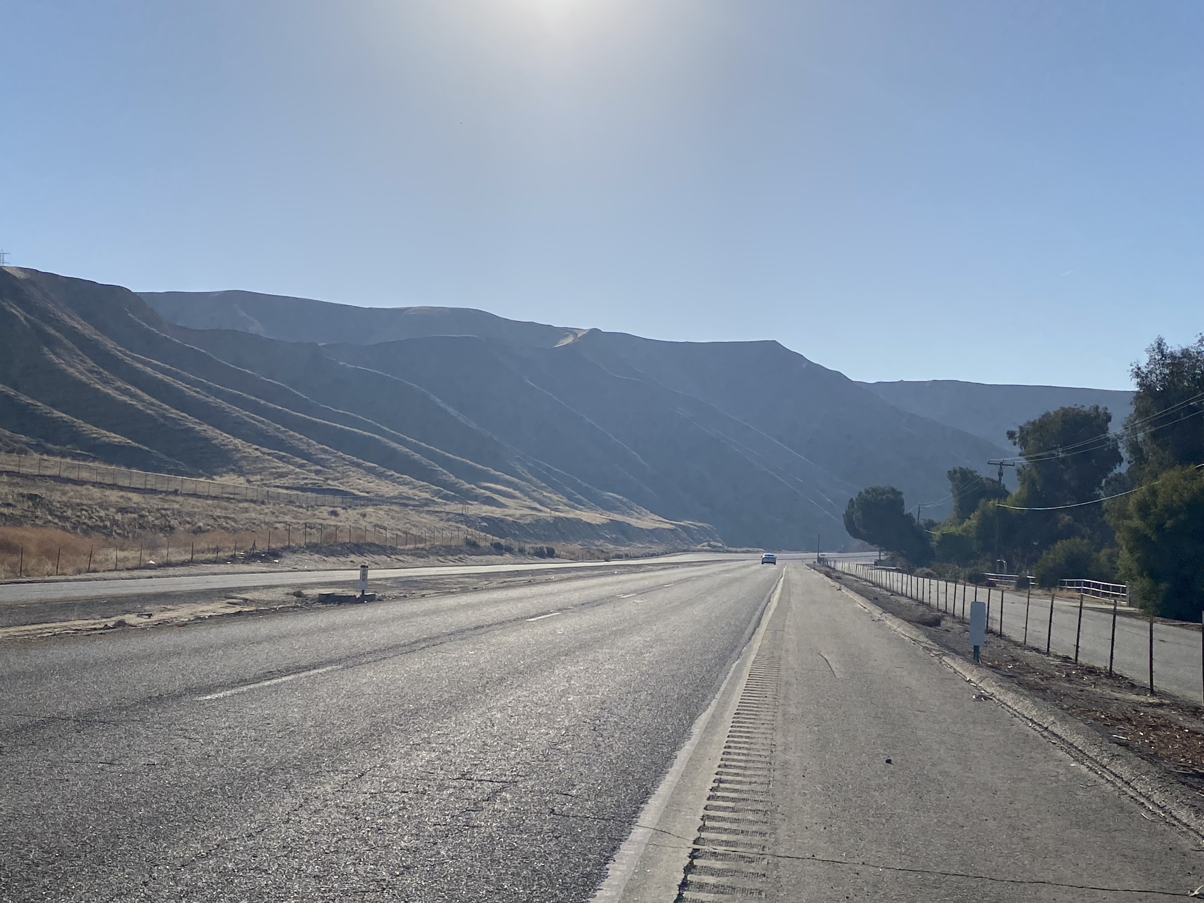
Alfred Harrell Highway westbound approaches the China Grade Loop interchange. Traffic headed to Bakersfield is directed to stay left on Alfred Harrell Highway towards the China Grade on the Kern River Bluff. Traffic headed to Oildale is directed to exit right towards the Kern River and China Grade Loop.
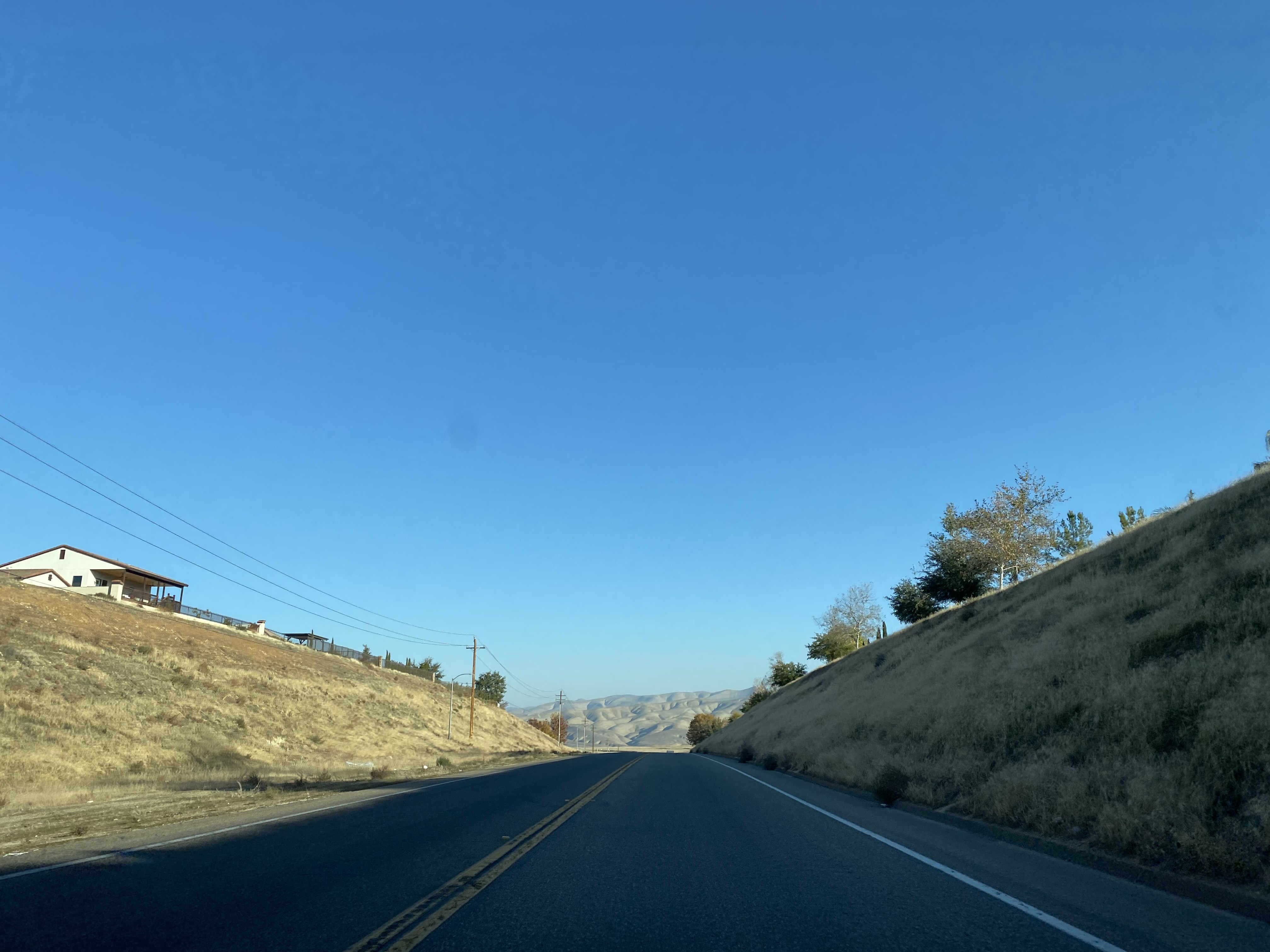
Westbound Alfred Harrell Highway climbs the China Grade and terminates the intersection of Panorama Drive/Bucknell Street.
Eastbound Alfred Harrell Highway begins at the intersection of Panorama Drive/Mount Vernon Avenue. Eastbound Alfred Harrell Highway descends the Kern River Bluff via an 8% grade to the China Grade Loop interchange. Traffic can access China Grade Loop and Oildale via a left-hand exit at the China Grade Loop interchange.
Traffic from the Oildale exit empties onto China Grade Loop approaching the Kern River. A historic plaque at the Kern River denotes the site of Gordon's Ferry. Gordon's Ferry was an overhead cable driven ferry which was part of the Stockton-Los Angeles Road and saw use as part of the Butterfield Overland Mail Route from 1858-1861.


Comments