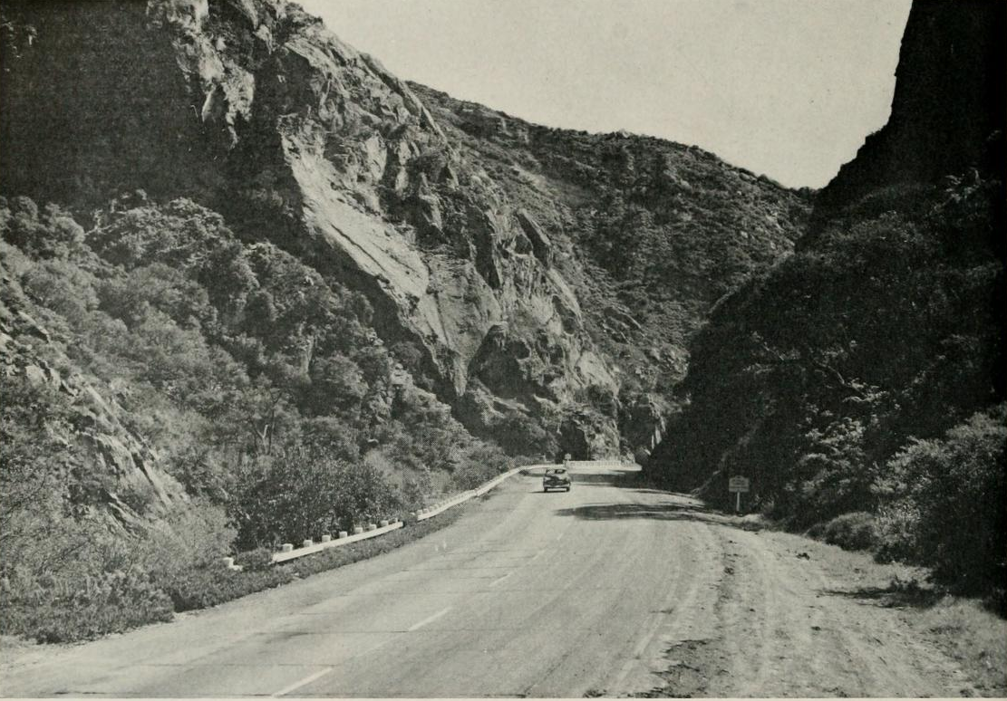
US Route 101 in the Santa Ynez Mountains of Santa Barbara County, California passes through Gaviota Pass. Gaviota Pass is most well known for being part of El Camino Real and the namesake Gaviota Tunnel which opened during 1953. Since 1964 Gaviota Pass and US Route 101 have also carried a multiplex of California State Route 1.

Part 1; the history of the Gaviota Pass corridor
Gaviota Pass is historic path of travel through the Santa Ynez Mountains of Santa Barbara County. Gavoita Pass was a known route through the Santa Ynez Mountains which was utilized by the Chumash tribes before the arrival of Europeans. Gaviota Pass was first explored by Spanish during the 1769 Portola Expedition of Las Californias. The Portola Expedition opted to follow the coastline northward fearing that the established Chumash path through Gaviota Pass was too narrow to traverse. In time Gaviota Pass became a favored established path of Spanish travel which bypassed the hazardous coastline as part of El Camino Real.
The route of El Camino Real was intended to solidify a path of travel between the Catholic Missions of Las Californias. In 1804 Alta California was formed out of the larger Las Californias. El Camino Real would ultimately connect 21 Catholic Missions of Alta California ranging approximately 600 miles spanning from Mission San Diego de Alcala in San Diego north to Mission San Francisco Solano in Sonoma. Gaviota Pass would become one of the best known geographical features of El Camino Real. Even after the advent of Mexican Alta California the path of travel through Gaviota Pass would remain a primary overland route.
The route of El Camino Real was intended to solidify a path of travel between the Catholic Missions of Las Californias. In 1804 Alta California was formed out of the larger Las Californias. El Camino Real would ultimately connect 21 Catholic Missions of Alta California ranging approximately 600 miles spanning from Mission San Diego de Alcala in San Diego north to Mission San Francisco Solano in Sonoma. Gaviota Pass would become one of the best known geographical features of El Camino Real. Even after the advent of Mexican Alta California the path of travel through Gaviota Pass would remain a primary overland route.
In 1846 during the Mexican-American War the path through Gaviota Pass played a significant part as was to be an ambush point to trap the forces of U.S. Army Lt. Colonel John C. Fremont. Fremont's troops instead diverted east from Gavoita Pass over the Santa Ynez Mountains and discovered what is now San Marcos Pass. The story of San Marcos Pass and the expedition led by John C. Fremont is described in the August 1936 California Highways & Public Works.


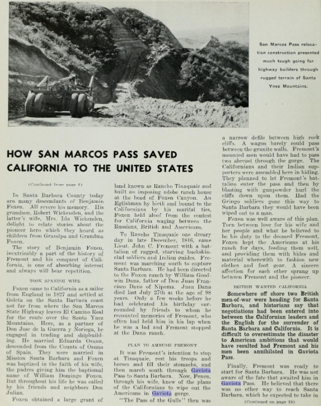


During the early American period of California the route through Gaviota Pass remained a favored path of travel. According to goletahistory.com Gaviota Pass was widen in 1854 by way of excavation by hand chisels to facilitate wagon travel. Gaviota Pass can be seen on the 1857 Britton & Rey's Map of California.

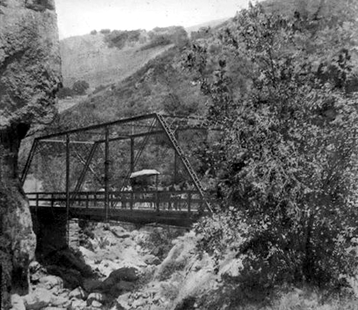
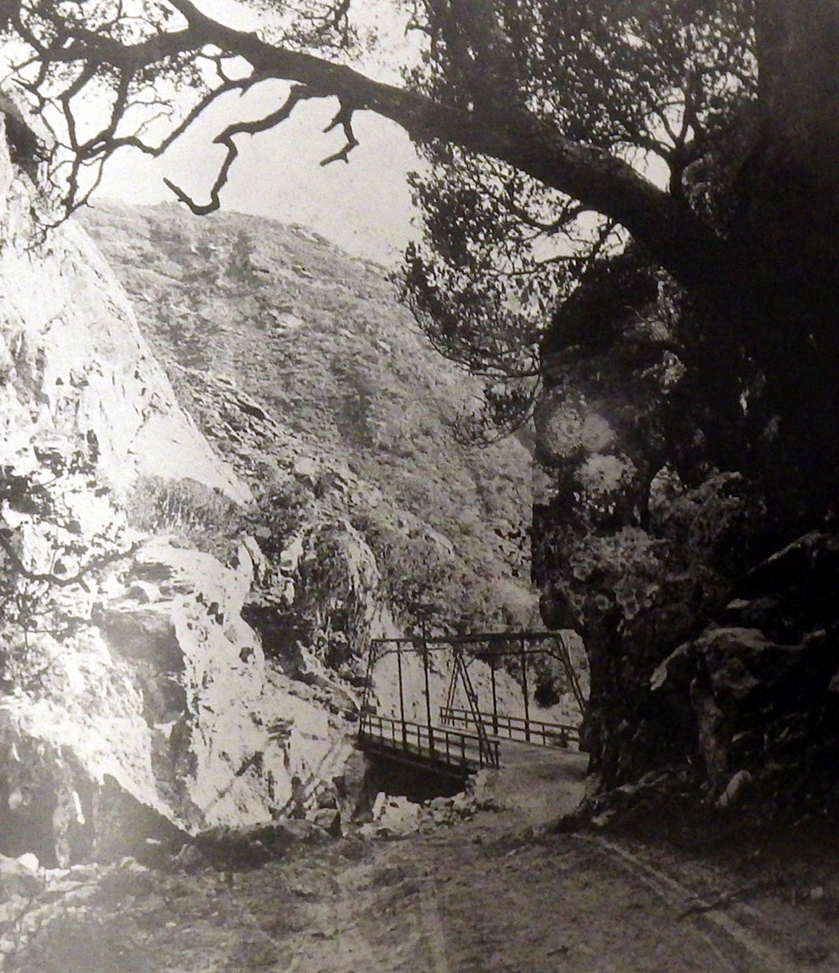
According to goletahistory.com Gaviota Pass was again widened in 1861 by way of explosives as a Santa Barbra County highway. Santa Barbara County installed a truss bridge over Gaviota Creek which can be seen on goletahistory.com here and here.
The road through Gaviota Pass can be seen on the 1873 Bancroft's Highway Map of California.

Gaviota Pass was ultimately part of the American El Camino Real which began being signed as an Auto Trail starting in 1906. The era of State Highway Maintenance through Gaviota Pass would ultimately begin with the 1909 First State Highway Bond Act which was approved by voters in 1910. One of the highways approved through the 1909 First State Highway Bond Act was a 481.8 mile highway originating at the City Limits of San Francisco which terminated in San Diego. This highway would ultimately come to be known in time as Legislative Route Number 2 ("LRN 2"). In 1913 the Pacific Highway was plotted as a major Auto Trail which had Gaviota Pass along it's planned route.
The May 1913 California Highway Bulletin references numerous Santa Barbara County locals purchasing State Highway Bonds to aid in the construction of LRN 2 between Elwood and Gaviota Pass.


The July 1914 California Highway Bulletin references highway surveys for LRN 2 through Gaviota Pass as being completed.


Early LRN 2/American El Camino Real/Pacific Highway can be seen traversing Gaviota Pass on the 1917 California State Automobile Association Map.

The 1920 Rand McNally Highway Map of California shows El Camino Real and the Pacific Highway following LRN 2 through Gaviota Pass.
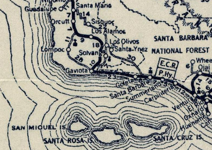
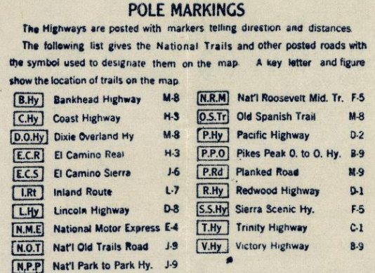
The 1924 Rand McNally Map of California shows the California Banff Bee-Line Highway co-signed with the Pacific Highway through Gaviota Pass.
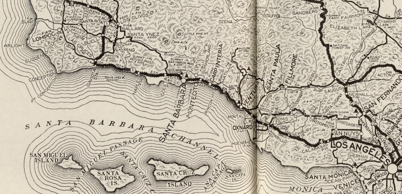

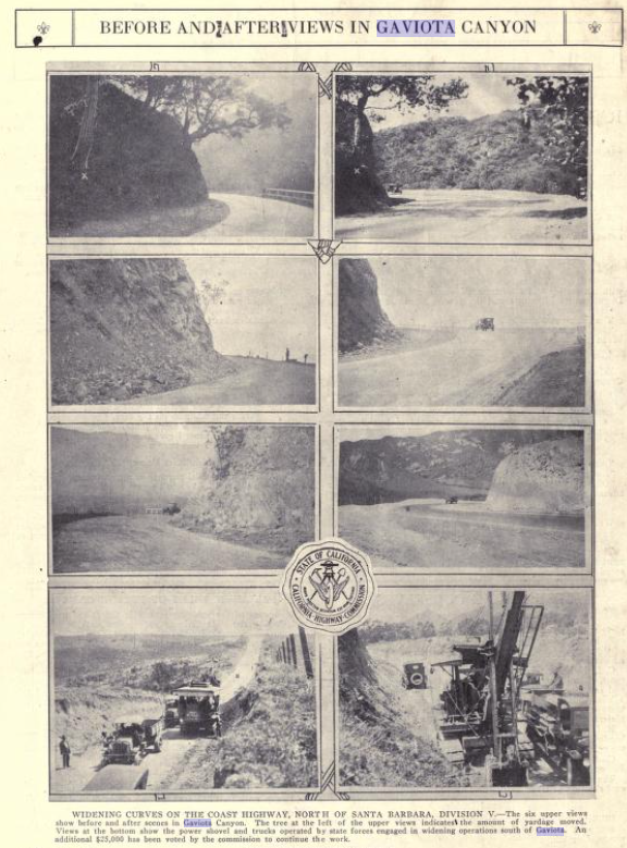
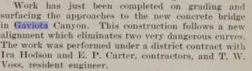
The initial draft of the US Route System was approved by the Secretary of Agriculture during November of 1925. The US Route System within California was approved by California Highway Commission with no changes recommended by January 1926. The initial alignment of US Route 101 ("US 101") was planned to follow LRN 2 from San Francisco to San Diego via Gaviota Pass. US 101 is shown on a map published in the 1926 California Highways & Public Works following LRN 2 south from San Francisco towards San Diego.


During November of 1926 the US Route System was approved by the AASHO. US 101 can be seen aligned through Gaviota Pass on the 1927 National Map Company Sectional Map.
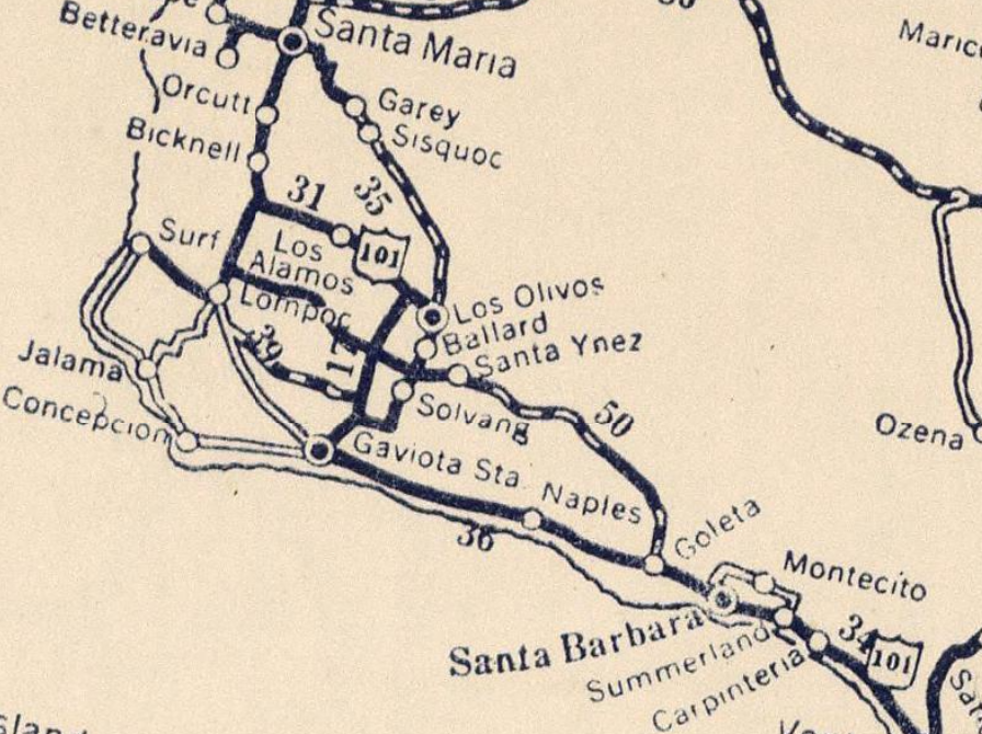
The December 1926 California Highways & Public Works describes several upcoming line changes to US 101/LRN 2 near Santa Barbara. A new bridge over Gavoita Creek within Gavoita Pass is described in detail along with a construction contract being awarded to the Oberg Brothers.

The new bridge over Gaviota Creek is described as being completed in the June 1927 California Highways & Public Works.


The 1926 Gaviota Creek Bridge courtesy of bridgehunter.com.

The January/February 1929 California Highways & Public Works notes a new alignment survey for US 101/LRN 2 through Gaviota Pass had been conducted.

The January 1931 California Highways & Public Works details the planned realigned of US 101/LRN 2 through Gaviota Pass. The new planned alignment of US 101/LRN 2 is stated to be slated to receive a 20 foot wide Portland Cement deck and a new concrete arch bridge over Gaviota Creek.

The October 1931 California Highways & Public Works cites the Portland Cement surface of US 101/LRN 2 in Gaviota Pass as being recently completed.

The March 1932 California Highways & Public Works discusses the recently completed widening and paving of US 101/LRN 2 through Gaviota Pass. The original road grade through Gaviota Pass is described as being completed in 1915 and inadequate to the handle the loads of increased traffic. The road surface through Gaviota Pass is described as being widened from 21 feet to 36 feet which was also paved in Portland Cement. The 1931 Gaviota Creek Bridge is still present as part of modern southbound US 101.


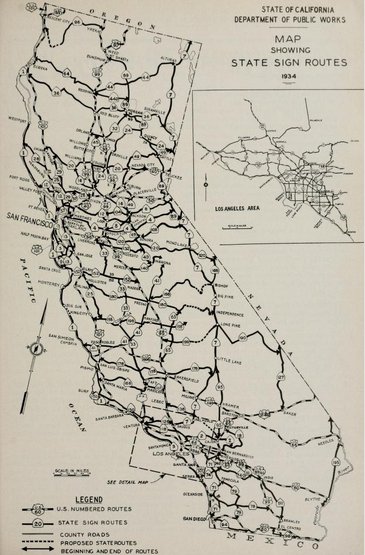
The September 1934 California Highways & Public Works details the realignment which straightened US 101/LRN 2 between Gaviota and Arroyo Hondo. This project functioned as an extension of the work completed on US 101/LRN 2 in Gaviota Pass. In total 31 curves were eliminated along with 0.127 miles of travel between Gaviota and Arroyo Hondo.


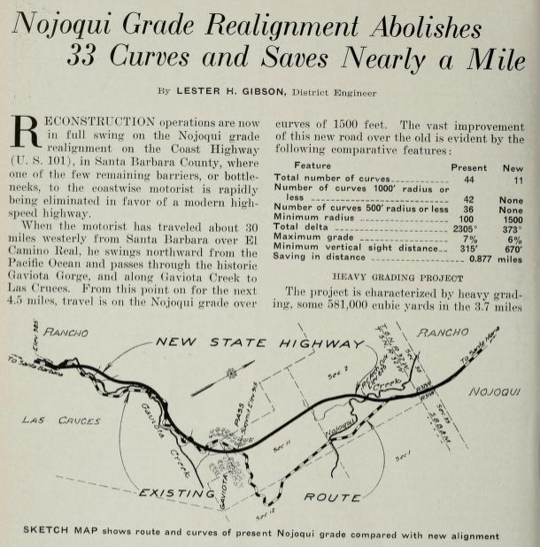
The April 1935 California Highways & Public Works describes the planned realignment and further straightening of US 101/LRN 2 through Gaviota Pass north over Nojoqui Summit towards Nojoqui Creek. The planned realignment of US 101/LRN 2 from Gavoita Pass to Nojoqui Creek was slated to eliminate 33 curves and 0.877 miles of travel. Work on the new alignment of US 101/LRN 2 is stated to have an estimated completion during September 1935.


A sketch of what Gaviota Pass looked like as part of El Camino Real of Las Californias compared to US 101/LRN 2 is featured in the September 1950 California Highways & Public Works Centennial Edition.

US 101/LRN 2 through Gaviota Pass is featured on the cover of the March/April 1951 California Highways & Public Works.


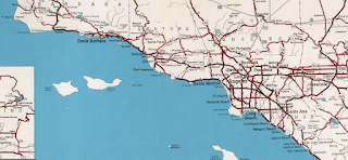

Part 2; a drive on US Route 101/California State Route 1 northbound through Gaviota Pass


The March/April 1951 California Highways & Public Works features the planned expansion of US 101/LRN 2 in Gaviota Pass to a four lane highway. The key piece of the planned expansion of US 101/LRN 2 in Gaviota Pass was a tunnel. The project area is stated to be slightly over 5 miles originating near Gaviota northward towards Nojoqui Creek. Units 1 & 2 north of Gaviota Pass to Nojoqui Creek are shown in the process of conversion to four lanes.


The November/December 1951 California Highways & Public Works features the early phases of construction of the Gaviota Tunnel.
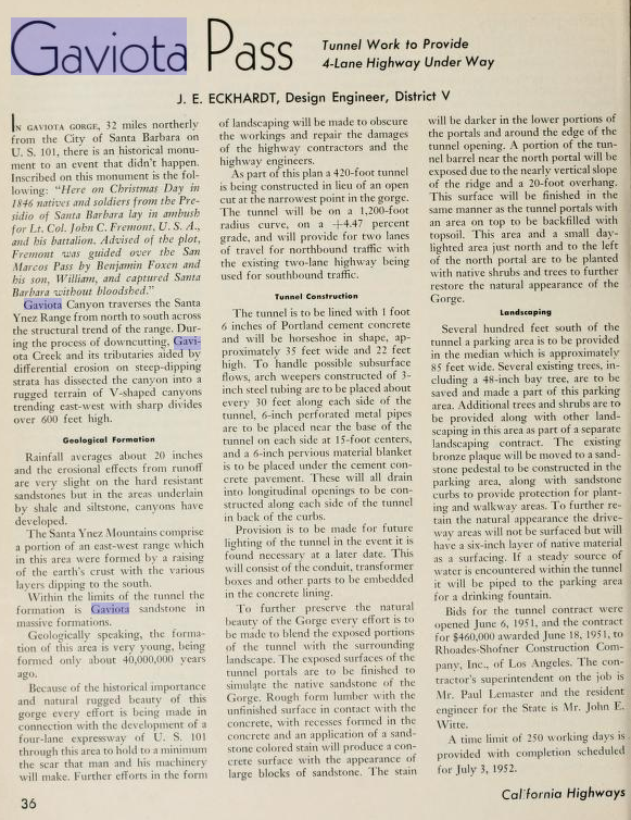

The January 1953 California Highways & Public Works shows progress on construction of the Gaviota Tunnel (stated to be on US 99 in error). The Gaviota Tunnel is stated in the article to have an anticipated opening during Fall of 1953. A tunnel is stated to have be chosen for the expansion of US 101/LRN 2 over open excavation to preserve the historic character of Gaviota Pass. Drilling is stated to have begun during August of 1951 and the many aspects of the project are detailed.


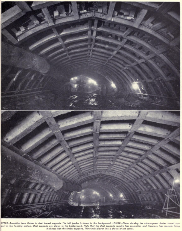


The May/June 1953 California Highways & Public Works features an update to the Gaviota Tunnel project. The completed lining of the Gaviota Tunnel and the portals are displayed. Construction of the Gaviota Tunnel portals is stated to have been completed on May 13th, 1953. The Gaviota Tunnel is stated to be 435 feet in length.


The November/December 1953 California Highways & Public Works features the newly opened alignment of northbound US 101/LRN 2 and the lighting of the Gaviota Tunnel.


During the 1964 State Highway renumbering CA 1 was extended from Las Cruces through via multiplex of US 101 through Gaviota Pass onward towards San Juan Capistrano. The newly extended CA 1 can be seen for the first time on the 1964 Division of Highways State Map.


The March/April 1954 California Highways & Public Works notes US 101/LRN 2 at the Gaviota Tunnel to have become an attractive place to take highway photos.

The July/August 1956 California Highways & Public Works features the recently opened Nojoqui Expressway segment of US 101/LRN 2 north of Gavoita Pass. The Nojoqui Expressway is stated to be a four lane divided highway originating 1 mile north of Nojoqui Summit northward 11 miles to a half mile from the Santa Ynez River. The Nojoqui Expressway is stated to connect from the four lane alignment of US 101/LRN 2 completed over Nojoqui Summit during 1951.


The May/June 1957 California Highways & Public Works notes US 101/LRN 2 had been converted to four lane standards from Gaviota to Arroyo Hondo during the previous summer.

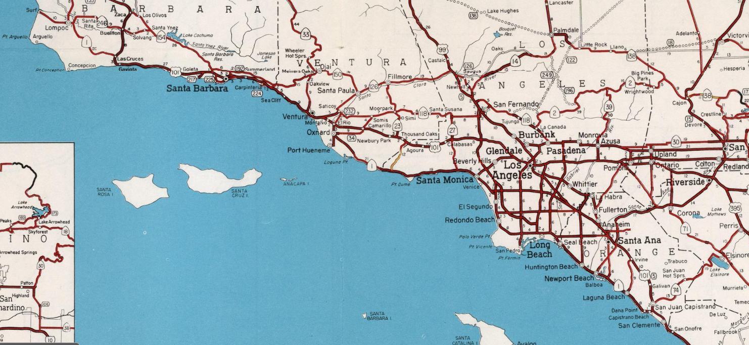

From Santa Barbara US 101/CA 1 northbound follows the terrain westward above the shore of Santa Barbara Cannel. After passing through the rail siding of Gaviota near Gaviota State Park the route of US 101/CA 1 northbound takes a sudden northward turn towards the Santa Ynez Mountains. US 101/CA 1 northbound passes through the Santa Ynez Mountains through Gaviota Pass via Gaviota Tunnel. The southbound lanes of US 101/CA 1 utilize the 1931 Gaviota Creek Bridge.


CA 1 north splits from US 101 northbound just past the Gaviota Tunnel at Exit 132. This would have been the origin point of CA 1 prior to the 1964 State Highway Renumbering.


CA 1 north splits from US 101 northbound just past the Gaviota Tunnel at Exit 132. This would have been the origin point of CA 1 prior to the 1964 State Highway Renumbering.


Part 3; a drive on US Route 101/California State Route 1 southbound and the exploring Gaviota Pass area
Our southbound drive towards Gaviota Pass begins near the Santa Ynez River on the outskirts of Buellton at modern US 101 Exit 139.


US 101 southbound begins to approach modern Nojoqui Summit. At Postmile SB R52.386 modern US 101 intersects it's pre-1935 alignment at Old Coast Road. Old Coast Road is signed as access to Nojoqui Falls Park.


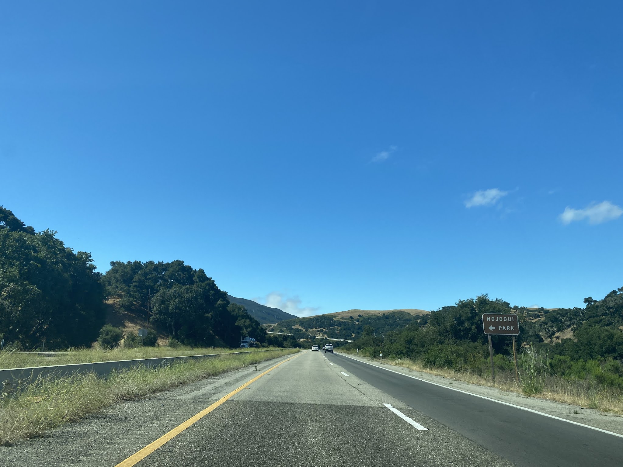

Former US 101 on Old Coast Road is still paved in concrete as it departs the modern highway. The only trace of modern roadway on Old Coast Road is a newer bridge over Nojoqui Creek.


Former US 101 on Old Coast Road continues southward and intersects Alisal Road. Alisal Road is signed as access to Nojoqui Falls Park and Solvang.


Former US 101 on Old Coast Road south of Alisal Road is signed as "No Outlet."


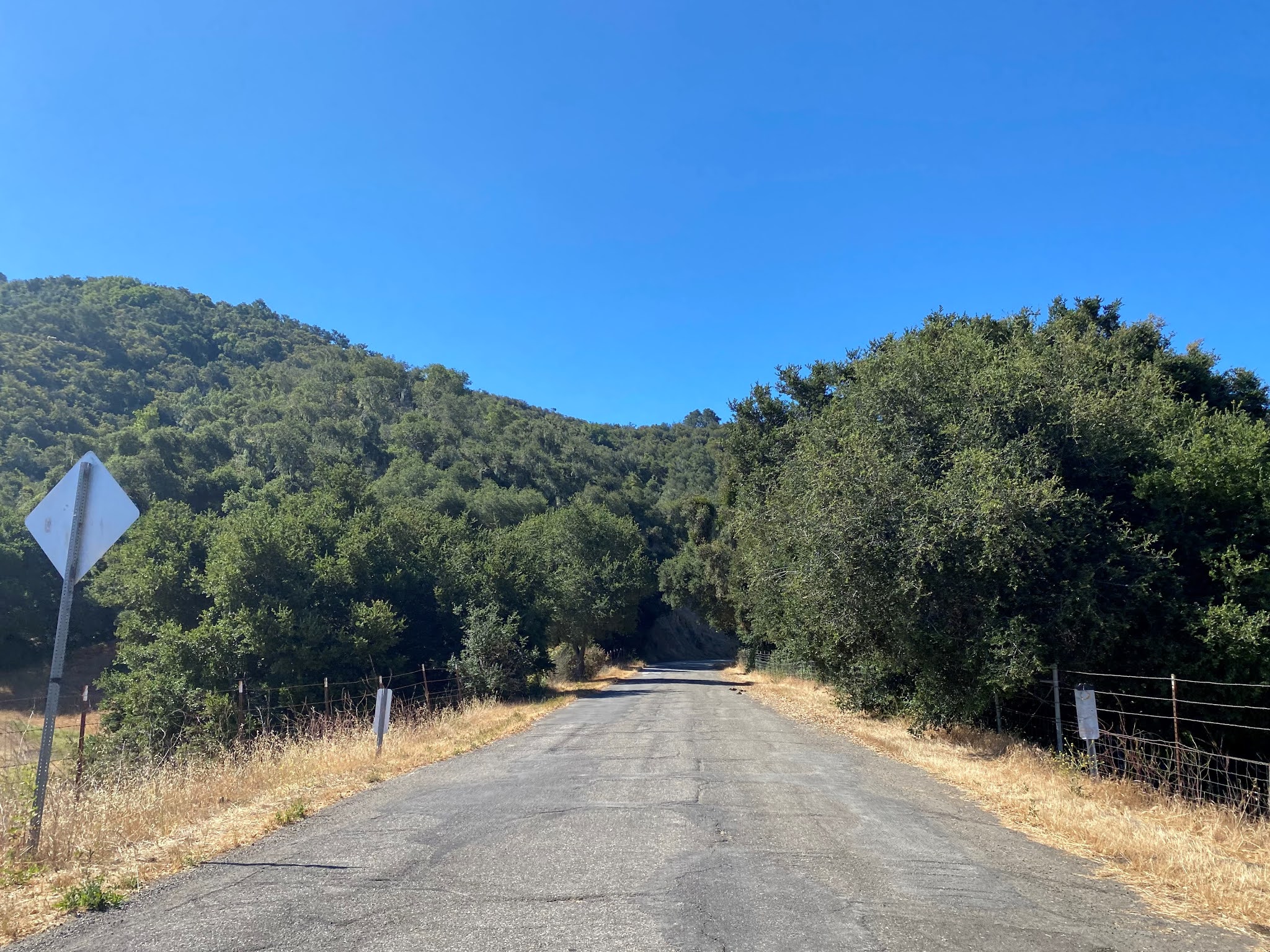

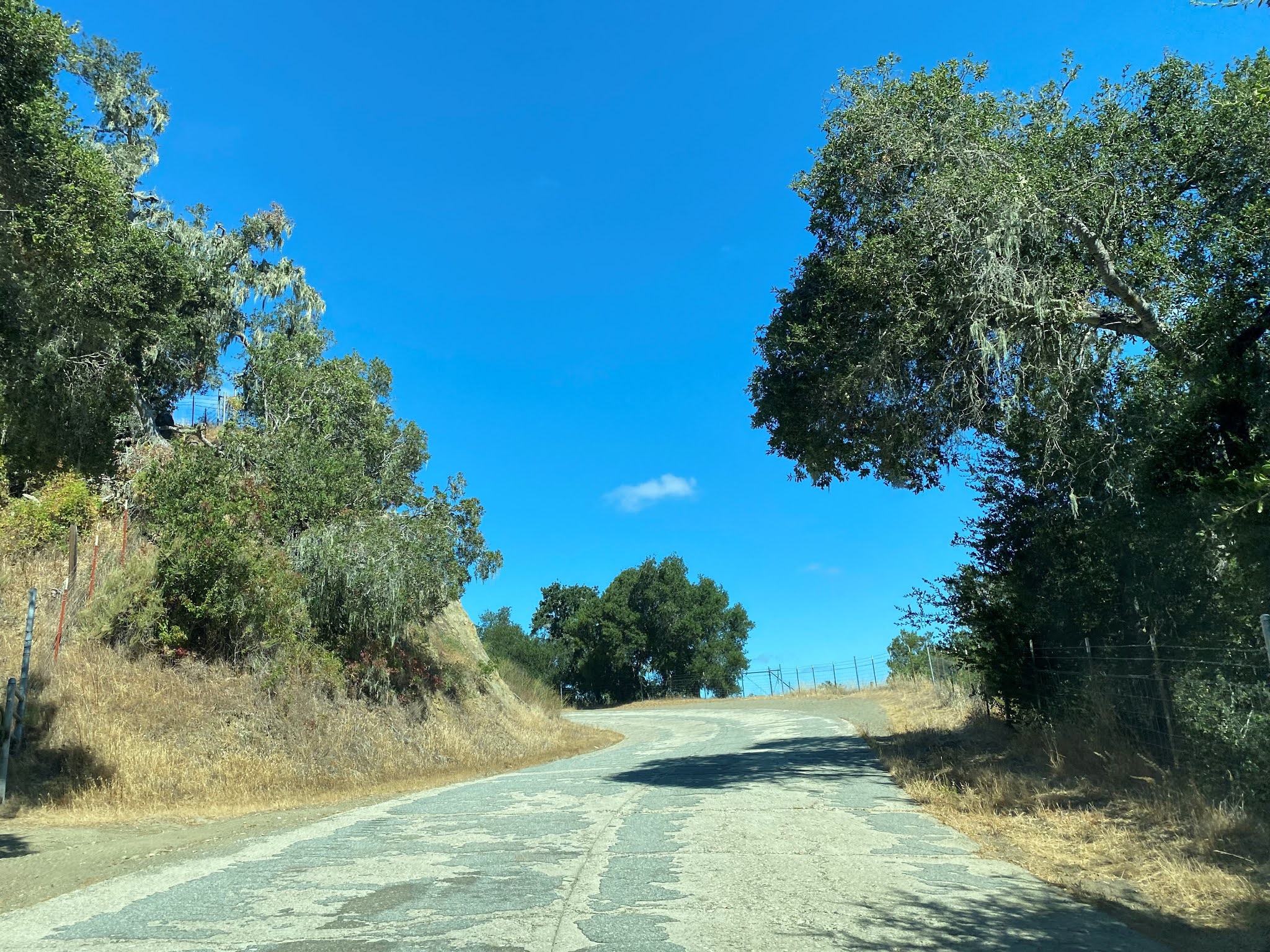


Backtracking to modern US 101 the highway southbound climbs to Nojoqui Summit via a largely straight alignment.


US 101 southbound descends from Nojoqui Summit via a 6% grade to CA 1 at Exit 132.


An overview of Gaviota Pass and the Gaviota Tunnel can be found in Gaviota State Park at the Gaviota Peak Trailhead. The Gaviota Peak Trailhead can be found by exiting US 101 at CA 1 and heading east to Gaviota Park Boundary Road.


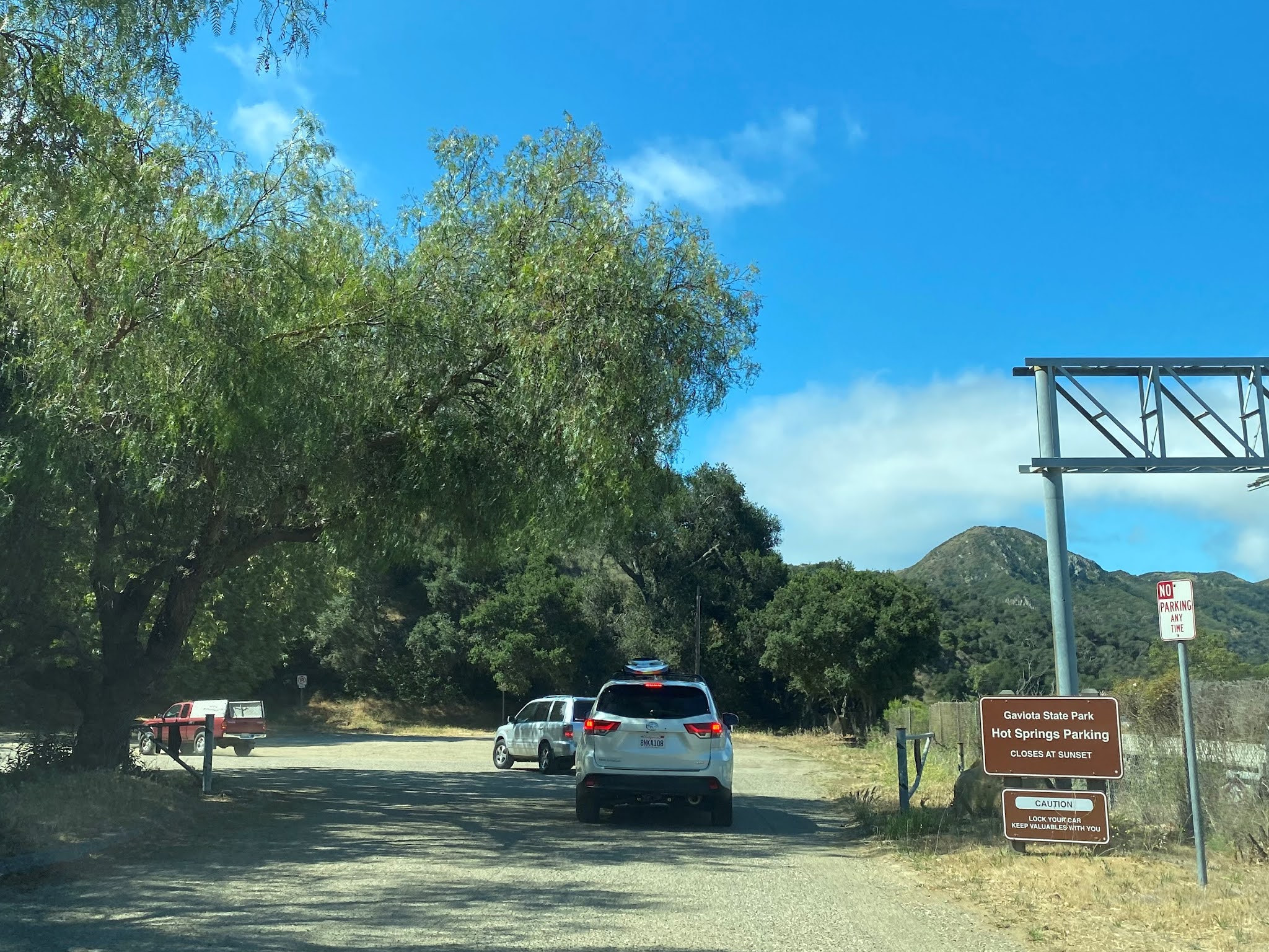


The Tunnel View Trail junction can be found by following the Gaviota Peak Fire Road and Trespass Trail.
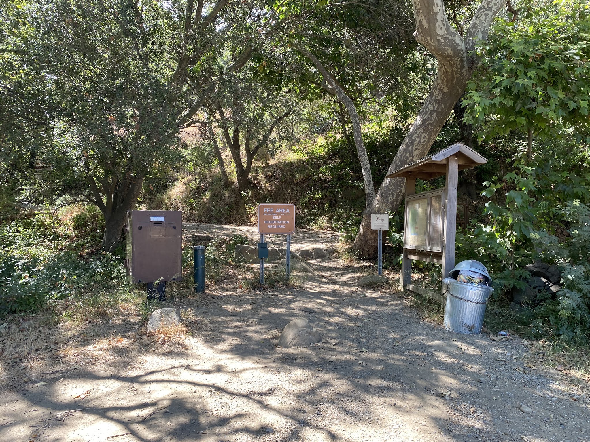


The Tunnel View Trail intersects the Underpass Trail about a quarter mile south of the Trespass Trail. The Underpass Trail can be used to cross under US 101/CA 1 in Gaviota Pass.


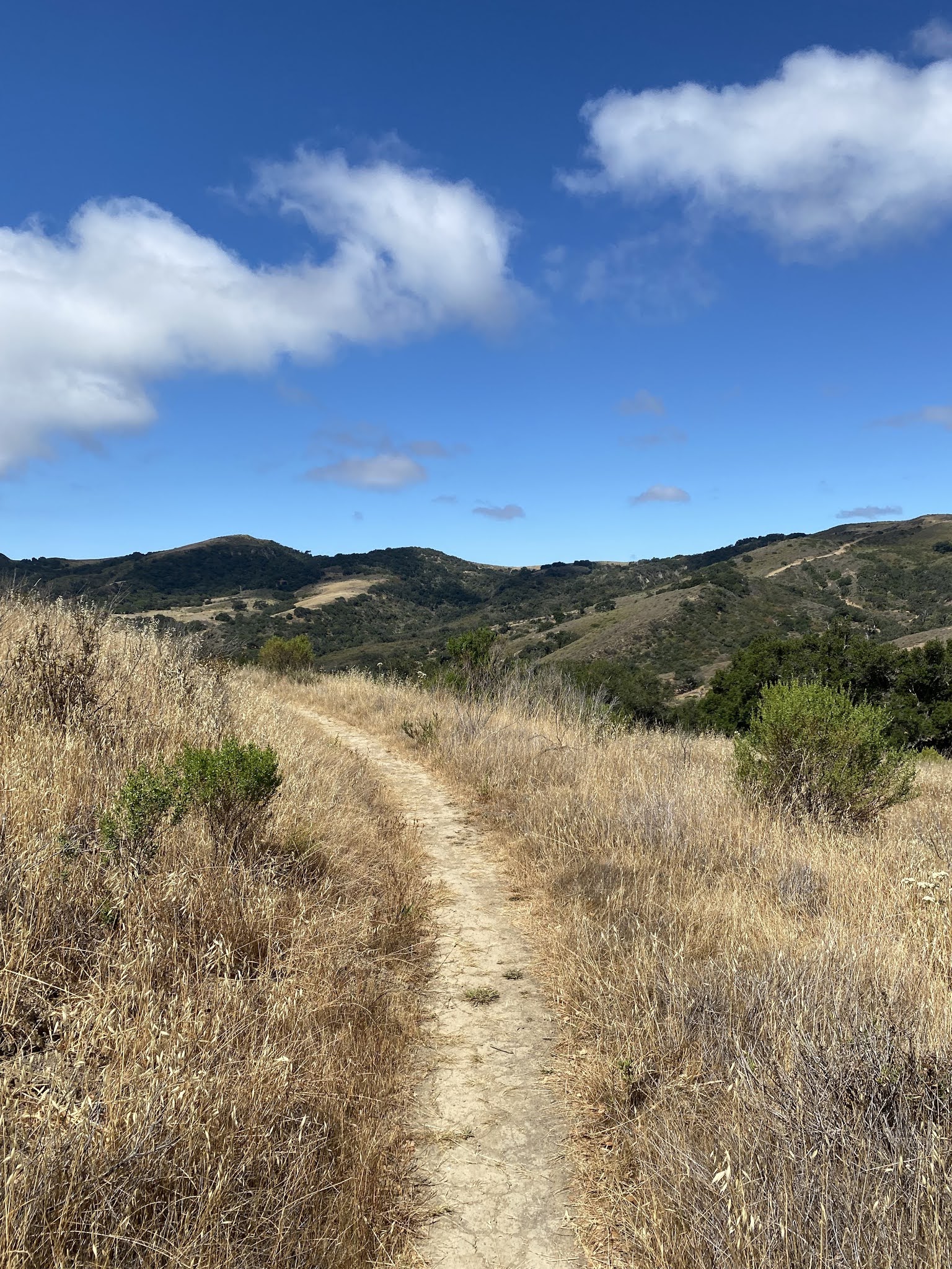


The Tunnel View Trail continues southbound and emerges onto a ledge over Gaviota Pass. The Gaviota Tunnel, Santa Barbara Channel and Channel Islands can be seen on clear days.


A panoramic of Gaviota Pass from the Tunnel View Trail. Gaviota Peak can be seen on the far left at an elevation of 2,460 feet above sea level.


Las Cruces first obtained Post Office Service in 1869 which discontinued in 1887. The community regained Post Office Service again in late 1889 which was discontinued for a final time in 1890. Las Cruces can be seen north of Gaviota Pass on the 1890 George F. Cram map of California.

Las Cruces would continue to serve travelers along early US 101 and came to line both sides of the highway with service stations. Las Cruces was largely razed during the 1950s to make way for US 101 to be expanded to an expressway as part of the Gaviota Tunnel project. Facing from the Gaviota Peak Trailhead across US 101/CA 1 looks in the direction of where the Las Cruces Store was once located.


The below photo displays the Las Cruces Inn circa 1940 at the intersection of US 101 and CA 1. The 1909 Gaviota Creek Bridge can be seen in the center of the image.

The 1909 Gaviota Creek Bridge and the site of the Las Cruces Inn can be observed from the southbound CA 1 ramp to US 101. The 1909 Gaviota Creek Bridge is a Pratt Through Truss design which is 73.2 feet in length.

CA 1 southbound joins US 101 approaching Gaviota Pass. The north portal of the Gaviota Tunnel can be seen as US 101/CA 1 passes through Gaviota Pass. At Postmile SB 46.366 US 101/CA 1 southbound intersect Gaviota Beach Road.


US 101/CA 1 southbound approach Santa Barbara Channel and swing eastward towards Santa Barbara. US 101/CA 1 southbound intersect the former Southern Pacific Railroad siding of Gaviota at Postmile SB 45.429 approaching Exit 128/Mariposa Reina.


US 101/CA 1 southbound crosses Arroyo Hondo where a Vista Point can be found at Postmile SB 40.878. The derelict 1918 Arroyo Hondo Bridge can be found at the US 101/CA 1 Vista Point.


The 1918 Arroyo Hondo Bridge is a 536 foot long open spandrel arch concrete bridge which was among the earliest of such design built as part of a State Highway. The Arroyo Hondo Bridge served both lanes of US 101 until 1950 when it was converted to southbound usage. The Arroyo Hondo Bridge was bypassed in 1984 when a new bridge was constructed to carry US 101/CA 1.
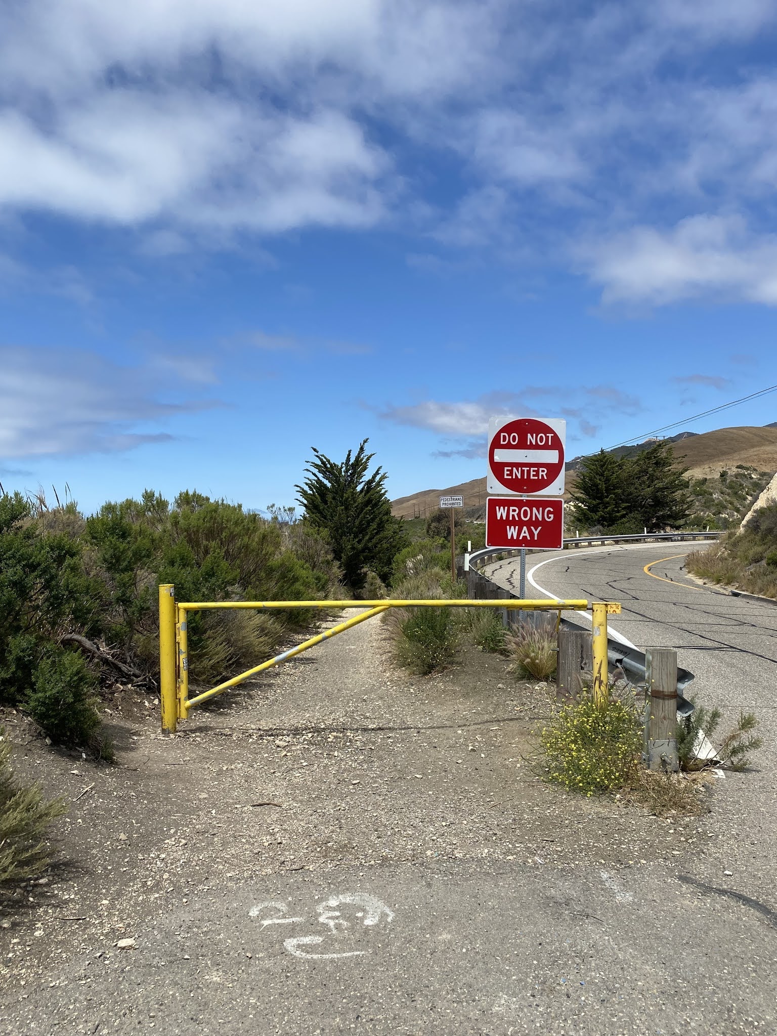


Santa Barbara Channel and the Channel Islands from the Vista Point directly east of the Arroyo Hondo Bridge.


Comments
Bill Smoot
San Diego, CA