
The Aurora Bridge is a mixed cantilever truss span located at Lake Union in the city of Seattle. The structure opened in 1932 as a component of US Route 99 and Aurora Avenue. The Aurora Bridge replaced the earlier alignment of US Route 99 and the Pacific Highway over the University Bridge.
The Aurora Bridge since opening has officially been known as the George Washington Memorial Bridge. The structure would become part of Washington State Route 99 during 1969 when US Route 99 was decommissioned in the state. The Aurora Bridge is 2,945 feet long and carries a clearance of 167 feet above Lake Union.

This blog is part of the larger Gribblenation US Route 99 Page. For more information pertaining to the other various segments of US Route 99 and its three-digit child routes check out the link the below.

Part 1; the history of the Aurora Bridge and US Route 99 north of downtown Seattle
In 1913 the Pacific Highway was established as an organized Auto Trail Association borne out of the Good Roads movement. Said Auto Trail was founded by Sam Hill who acted as the President of the Pacific Highway Association. The purpose of the Auto Trail was to create a singular Sign Route between San Diego, California north to Vancouver, British Columbia.
Within Washington the Pacific Highway was codified as a State Highway by way of 1913 Legislative Chapter 65. As legislatively defined the Pacific Highway was designated to pass through the city of Seattle.

The Pacific Highway departed downtown Seattle via Eastlake Avenue towards Lake Union. The highway originally had to cross Lake Union via a ferry which can be seen on the 1899 Cram map of Seattle.

On July 1, 1919, the University Bridge opened as the then new alignment of the Pacific Highway. The then new bascule span connected Eastlake Avenue directly with 10th Avenue (now Roosevelt Way) near the site of the University of Washington. The University Bridge was originally planned to be called the Eastlake Avenue Bridge but was formally designated with the name it now carries on June 30, 1919.
The University Bridge was extensively featured in the April 8, 1920 volume of Engineering News-Record. The three double leaf bascule span originally carried streetcars and was extensively renovated in the early 1930s.


The Pacific Highway was designated as Primary State Highway 1 by way of 1923 Legislative Chapter 185.


The Pacific Highway (4), Evergreen National Highway (5) and National Parks Highway (3) can be seen using Primary State Highway 1 north of downtown Seattle on the 1925 Rand McNally map of Oregon, Washington and British Columbia. The Pacific Highway and Evergreen National Highway can be seen splitting from the National Parks Highway via Primary State Highway 1 north of Seattle at Bothell.


The US Route System was formally approved by the American Association of State Highway Engineers (AASHO) on November 11, 1926. which formally brought US Route 99 into existence. US Route 99 overlaid the existing Pacific Highway (in Washington) and Primary State Highway 1. The description of US Route 99 can be seen on the November 11, 1926, AASHO descriptions of the US Routes in Washington State.


US Route 99 initially inherited the alignment of the Pacific Highway and can be seen departing Seattle via Eastlake Avenue and University Bridge northbound towards to Everett via Bothell on the 1927 Rand McNally Map of Washington State.

Work on realigning US Route 99 via the Aurora Bridge began by U.S. Steel Products Corps which subcontracted for the Washington Highway Department in 1929. The structure was designed to cross directly over Lake Union via a 2,945-foot-long mixed cantilever truss. The structure was designed to cross over 167 feet over Lake Union and link downtown Seattle directly to the neighborhood of Fremont.
The 1930 Gallup map of Seattle (courtesy Dale Sanderson of usends.com) is one of the most detailed to display the earlier alignment of US Route 99 through Seattle. The highway can be seen departing downtown via Howell Street and Eastlake Avenue towards the University Bridge.

On June 30, 1930, the Seattle city council would approve construction of Aurora Avenue (originally Truck Avenue) through Woodward Park south to Fremont and the site of the Aurora Bridge. The incomplete footings for the Aurora Bridge appear in the October 1, 1930, Lewis Monitor.

The deck of the Aurora Bridge was constructed mostly during 1931. The completed structure would be dedicated on February 22, 1932, which aligned with the 200th birthday of George Washington. From the outset the span has always been officially named as the "George Washington Memorial Bridge." The dedication ceremony can be seen in the February 25, 1932, Seattle Post Intelligencer.


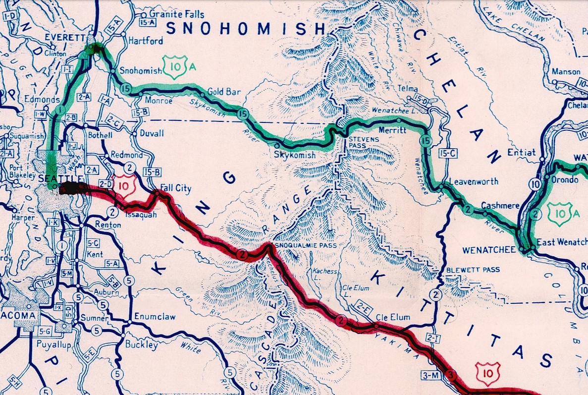
At the June 1940 AASHO Meeting the committee approved a northern alternate alignment for US Route 10. The northern alternate for US Route 10 crossed the Cascade Mountains via what was Washington State Road 15 over Stevens Pass to Everett. From Everett US Route 10 Alternate followed Hewitt Avenue, Broadway to US Route 99 at Everett Avenue. US Route 10 Alternate followed US Route 99 southbound out of Everett via Everett Avenue, Rucker Avenue and Evergreen Way towards the Aurora Avenue in Seattle.


The Aurora Bridge originally had a central pedestrian refuge island which was removed in 1944. US Route 10 Alternate can be seen entering Everett and multiplexing US Route 99 south to Seattle via the Aurora Bridge on the 1944 State Farm Insurance Map of Washington State.

During the December 1946 AASHO Meeting the committee approved a request to extend US Route 2 from Bonners Ferry, Idaho to Everett. The extension of US Route 2 would replace US Route 10 Alternate over Stevens Pass and terminate at US Route 99 in Everett. US Route 10 Alternate was subsequently deleted following the extension of US Route 2.

On June 29, 1956, the Federal Highway Aid Act of 1956 was signed into law on the Federal Level. The Federal Highway Aid Act of 1956 was the genesis point of the Interstate Highway System which would in the coming decade sew the demise via of US Route 99 in Washington via replacement by Interstate 5.
On June 24, 1969, the AASHO Executive Commitee approved a request by the Washington State Highway Commission to eliminate US Route 99 in Washington. The Washington State Highway Commission approved a motion to eliminate US Route 99 on April 22, 1969. The justification to eliminate US Route 99 in Washington State was to avoid confusion and cost associated with signing the highway concurrent on much of Interstate 5.


Washington State Route 99 is displayed crossing the Aurora Bridge on the 1970 Washington Department of Highways map.

On January 2, 1980, the Aurora Bridge was nominated for inclusion on the National Register of Historic Places. The structure was ultimately accepted and added to the register on July 16, 1982.
During 1990 the Fremont Troll sculpture was placed underneath the northern end of the Aurora Bridge. The troll was a project was part of a Fremont Arts Council contest which was intended to build some form of "hostile architecture" underneath the Aurora Bridge. The Fremont Troll was designed by artists Steve Badanes, Will Martin, Donna Walter and Ross Whitehead.
Part 2; a visit to the Aurora Bridge
These photos depict the southbound lanes of Washington State Route 99 crossing the Aurora Bridge.


The Fremont Troll can be found under the Aurora Bridge in Fremont at 34th Street and Troll Avenue. The sculpture can be seen holding an actual Volkswagen Beetle.


The view south on Troll Avenue underneath the Aurora Bridge.

These photos depict the northbound lanes of Washington State Route 99 crossing the Aurora Bridge.


This view of the Aurora Bridge can be found from the top of Kite Hill in Gas Works Park facing west.


Comments