Dunes Drive is an eight-mile connecting road from US Route 70 to the Alkali Flat Trailhead in White Sands National Park. Dunes Drive was constructed following the designation of White Sands National Monument between 1936-1940. The last approximate four miles of Dune Drive are unsurfaced and require traveling over graded gypsum sand. White Sands National Park was designated into law during December 2019.
Part 1; the history of Dunes Drive
White Sands National Park is located in the Tularosa Basin of Dona Ana County and Otero County. The namesake "White Sands" is the largest gypsum dunefield at in the world at approximately 275 square miles. White Sands lies at low point in the endorheic Tularosa Basin near Lake Lucero. The White Sands dunes are thought to have formed 7,000-10,000 years ago due to erosion of water-soluble gypsum from the San Andres Mountains and Sacramento Mountains. The gypsum dunes of White Sands are typically 30 feet deep but can be as deep as 60 feet.
White Sands National Monument was designated on January 18, 1933, by President Hebert Hoover. Construction of the White Sands National Monument visitor facilities, general infrastructure and Dunes Drive would take place during 1936-1940. The completed Dunes Drive can be seen branching from US Route 70 west of Alamogordo on the 1940 State Farm Insurance Map of New Mexico.
On June 23, 1988, the White Sands National Monument Historic District was established. The district comprised of the visitor center and other infrastructure developed during the 1936-1940 era.
On December 20, 2019, the designation White Sands National Park was signed into law. The designation of White Sands National Park saw the transfer of land management in the cooperative use boundary from the Army to the National Park Service. An addition 2,029 acres of protected lands were also added to the newly designated National Park.
Part 2; a drive on Dunes Drive
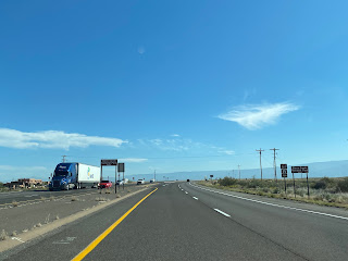
US Route 70 passes through the eastern tip of White Sands National Park where Dunes Drive and the visitor center facilities can be accessed. The marque along US Route 70 still displays "White Sands National Monument" whereas the new vinyl signs now say, "White Sands National Park."
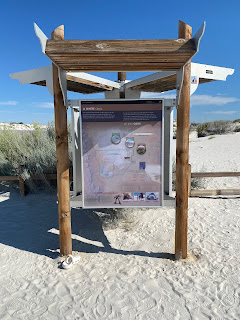
Signage at the visitor still denotes "White Sands National Monument."
Dunes Drive branches from the visitor center as a paved road and passes through the park entry station.
Dunes Drive beyond the entrance station first passes the Playa Trail.
The next trail encountered on Dunes Drive is Dunes Life Nature Trail.
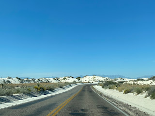
Dunes Drive enters the namesake White Sands dunes and next passes the Interdune Boardwalk.
The Interdune Boardwalk is a short trail which features an easy walk above the gypsum sands between numerous vegetated dunes.
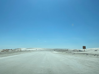
Dunes Drive beyond the Interdune Boardwalk becomes an unsurfaced roadway. Traffic is required to travel atop compacted gypsum.
Dunes Drive next intersects the Backcountry Camping Trail.
The final leg of Dunes Drive consists of a loop which begins/ends at the Backcountry Camping Trail. The loop consists of access to numerous picnic areas, dunes used for sledding and the Alkali Flat Trail.
The Alkali Flat Trail is the signature trail of White Sands National Park. The trail consists of a 5-mile loop of the large dunes of Alkali Flat. The Alkali Flat Trail is marked by way of orange reassurance markers.
Dunes Drive from the Alkali Flat Trail loops back to the Backcountry Camping Trail. Signage directing traffic back to US Route 70 and the park exit can be found near the Backcountry Camping Trail.













Comments