A friend of the blog, Billy Riddle, had visited Costa Rica on vacation back in 2006. During his visit there, he had the opportunity to explore the highways and byways of the Central American country, snapping some photos from a tourist van as he went. Costa Rica's highways are known to have a solid reputation, with a mix of good paved roads and a highway system that can compare to parts of the United States, along with plenty of potholes, bridges that can fit one lane of traffic, and plenty of washouts during the rainy season. However, the country's roads and signs have their unique quirks as well, as the road standards in Costa Rica have a character of their own. The photos were hosted by Gribblenation on a previous incarnation of our site, and we are proud to be able to bring back this classic article.
Photos were taken by Billy Riddle in 2006 with commentary added by Otto Yamamoto. We have decided to keep the photos and commentary as true to form as possible to the original article. We hope you enjoy this look into the roads of Costa Rica.
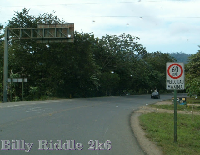 |
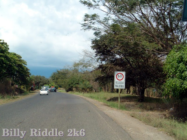
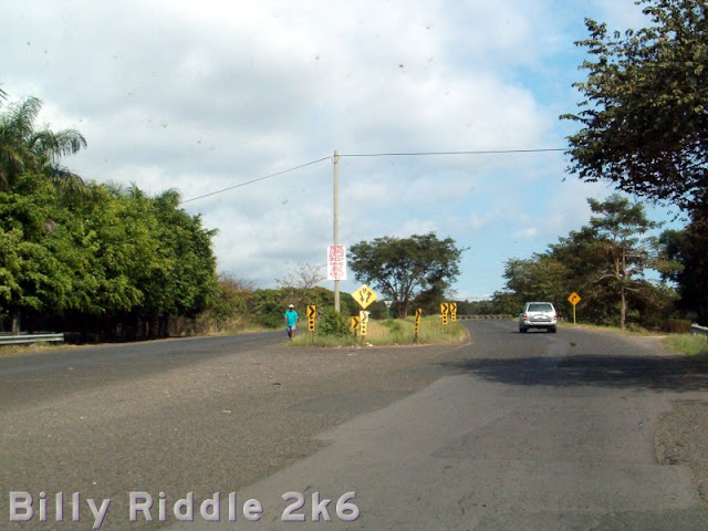
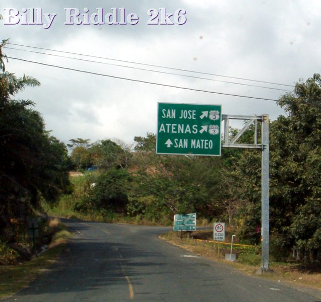
| Going the wrong way at an important junction. At least we get a speed limit sign. Though 60 km/h seems pretty slow for a country highway. |
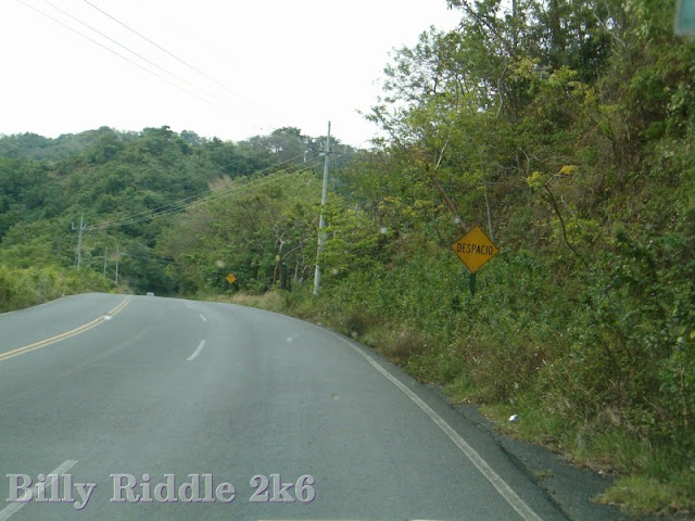 |
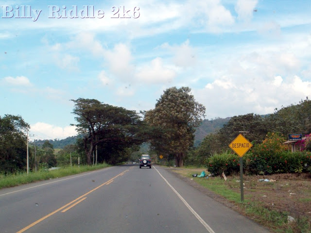
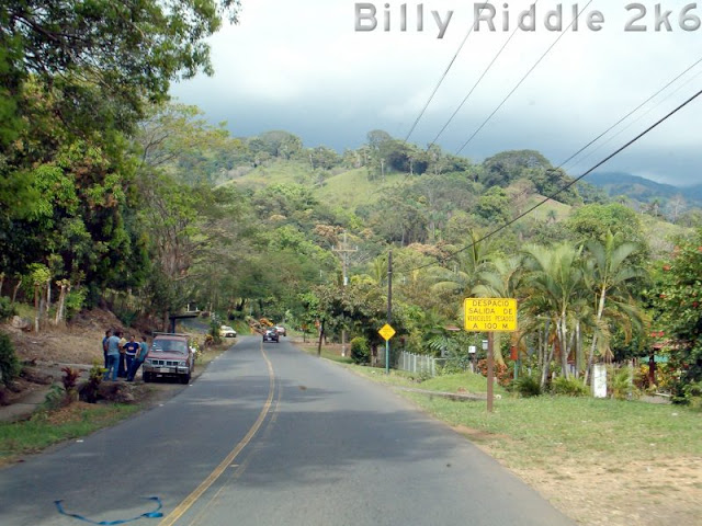
| They don’t want you going fast up this hill. You might hit a MOOSE. Or something. DESPACIO means SLOW, by the by. That's what I say when ppl speak to me in Spanish. |
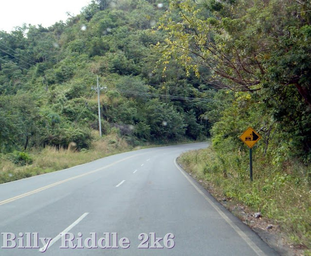 |
| FALLING ROCKS graphical sign. |
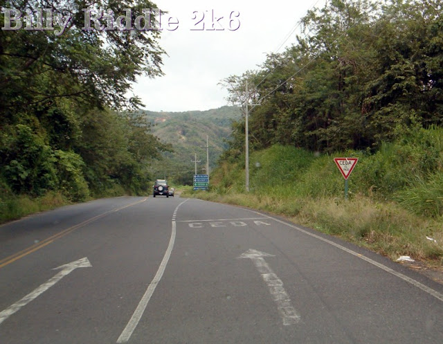 |
| At the end of the crawler line, at the top of the hill. Traffic in the lane ending has to give way. |
 |
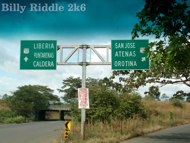
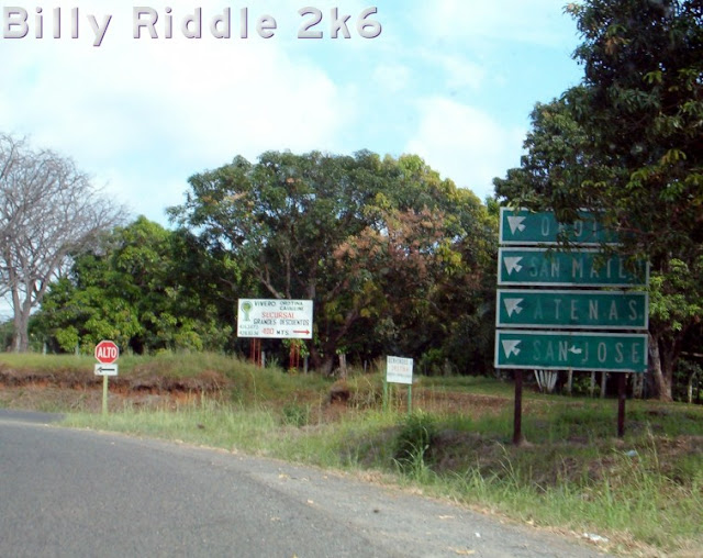
| Guide signage here. Blue and green apparently carry similar meanings to US signage. |
 |
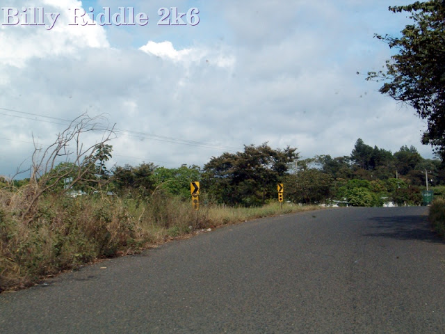
| Chevrons and the 3 black dots used on a curve. I like the impromptu sign standard. |
 |
| Slightly bent CURVE sign. |
 |
| This SPEED LIMIT sign appears to have moulded. Ew. |
 |
| Slow it down, buddy. That looks like a store at right. |
 |
| Aha, here’s why you need to slow down. The road narrows to a single lane. |
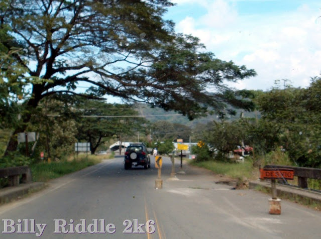 |
| Some nasty sinkhole action at the foot of the bridge. That's a DETOUR sign. |
 |
| That guy on the moped is prolly flogging it to make the speed limit. |
 |
| “Discover the New Viceroy! Switch to Viceroy!” Oh, and by the way: Smoking is bad for your health. I'm not even sure if Viceroy is sold anymore. |
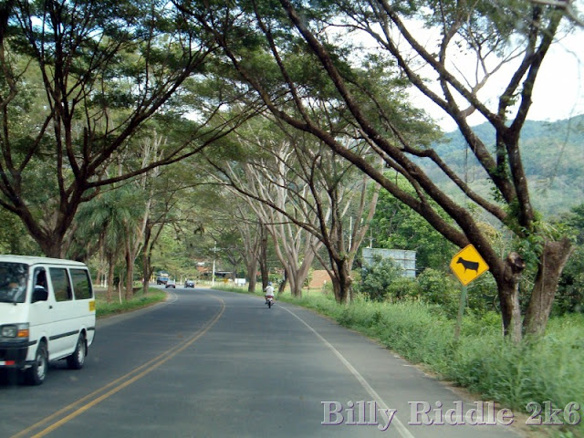 |
| Well it looks like a Cow, but it’s rilly a MOOSE! |
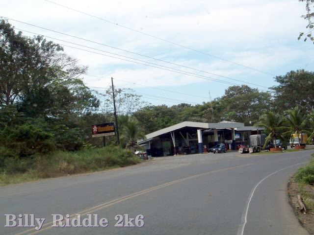 |
| Here’s a rural petrol station. The “Havoline” branding is odd - as Texaco abroad is usually CALTEX. Chevron was a known brand in Latin America (outside Mexico) too. |
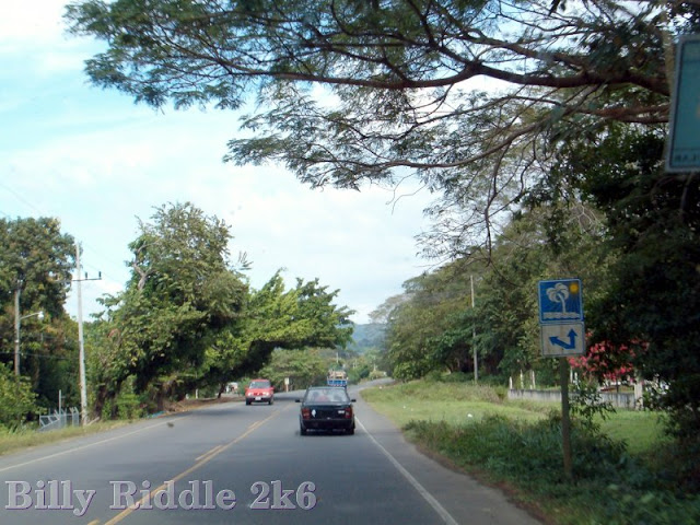 |
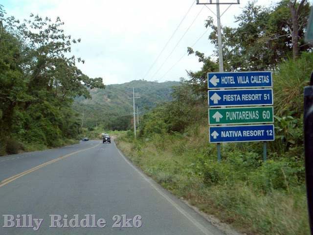
| Graphical signage for resorts. |
 |
| More resort signage. Unofficial, this time. |
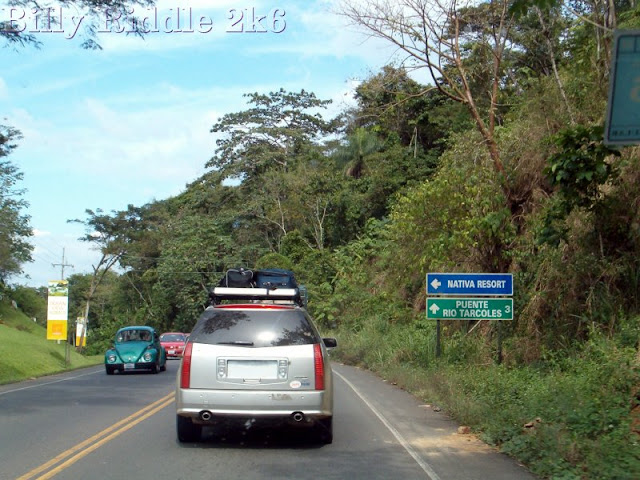 |
| Approaching the Rio Tarcioles Bridge on National Highway 34. This must be important, as it rates a sign. |
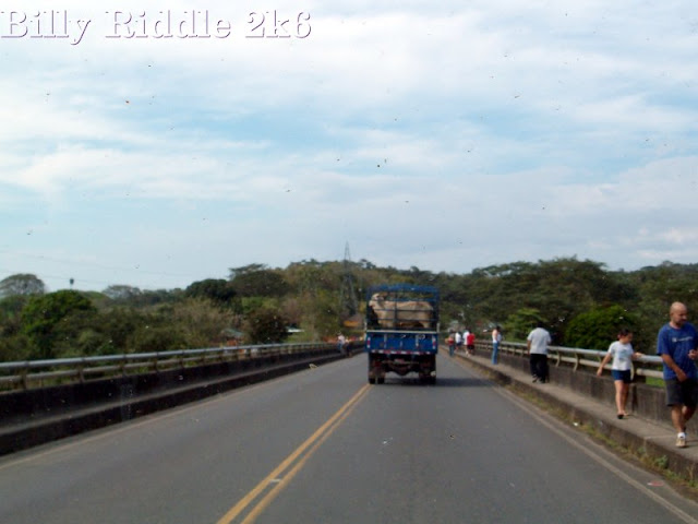 |
| Going over the Rio Tarcioles Bridge. Apparently a popular structure. |
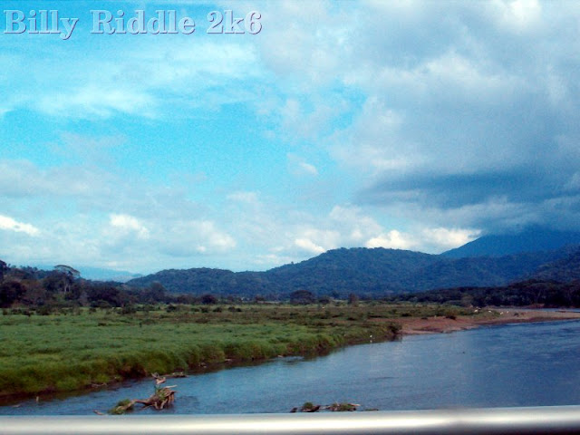 |
| A view from the Rio Tarcioles Bridge. |
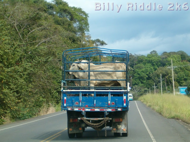 |
| This guy looks none too happy to take a road trip. |
 |
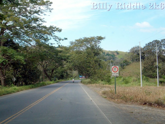
| Wah, baby-80 km/h Yr flying’ low now! |
 |
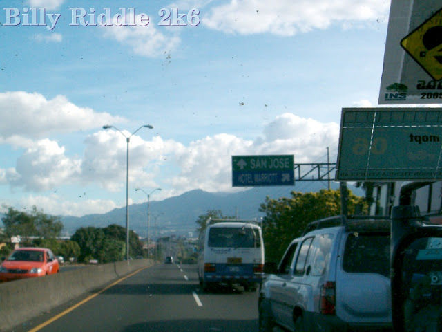
| I think this is a Costa Rican END! NH 34 meets NH 27 at an elevated junction. |
 |
| The slip road to join National Highway 27 eastbound. |
 |
| On NH 27 proper, now. Billy says he only saw route markers in connection with guide signs. There are no independent route markers. |
 |
| Guess Costa Rica ISN’T the place for you if you’re in a hurry, then. |
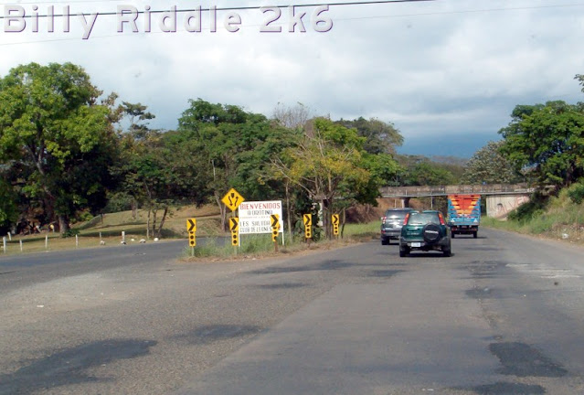 |
| A short dual carriageway section of road Near Orotina. The sign was put up by the local Lions Club to welcome visitors to town. |
 |
| An overpass somewhere near Orotina. |
 |
| A roadside fruit vendor. Colourful stuff. |
 |
| Dual carriageway again-leading to another road junction. The advert for the Fiestas Taurinas seen at the NH 27 junction is in evidence. Must be quite the shindig. |
 |
| High Quality CT style signage here at a road junction near Orotina. I think the advertising sign is for a subdivision. Costa Rica is the second country I’ve seen that uses ALTO rather than PARE on STOP signs. Mexico also uses ALTO. |
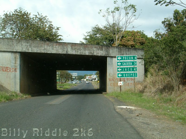 |
| Abandoned overpass over the N3-this is a motorway stub, apparently. There’s more Hi-Standard directional signage. |
 |
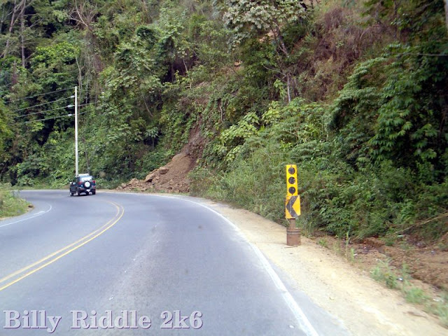
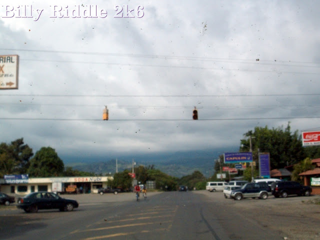
| This is a large picture. Fair warning. Besides the rare traffic light overhead, there is a disused railway crossing beacon, and a yellow beacon in the distance. |
 |
| A buzzy snap of the beacon shown on in the last picture. |
 |
| Back on the highway again-with a rather wordy “NO LEFT TURN” sign. |
 |
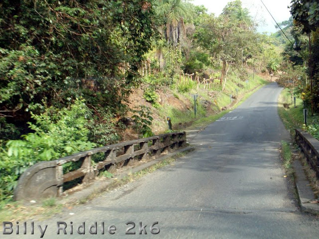
| Here’s a Geo Tracker on a tiny bridge. That’s because Costa Ricans have no bunnies with flapjacks on their heads. So they just have to make do like this. |
 |
| Joining National Highway 3 near San Mateo. The lower snap is the direction signs that the half-gantry replaces. The Costa Rican Department of Transport will be round to take those down. Sometime. No rush. |
 |
| We continue on National Highway 3 with a high standard of standardness Starting with a nifty Mexican Standoff stylee one-lane bridge. Beat yr opponent to the bridge, and you win. maybe. If it’s anything like the Metro North underpass in Port Jervis, that's a real big maybe. But then, ppl in Costa Rica are prolly more polite than New Yorkas. |
 |
| Here’s an attractive rural road scene. |
 |
| Approaching the Samuel Jackson Memorial Elementary School. The supplemental plate says “25 km/h when students are present”, which is dead slow. Wonder if people actually slow down that much. |
 |
| Another pastoral scene. The sign warns you to go slow, as heavy vehicles are entering the highway 100 metres ahead. |
 |
| This bridge has a rather chewed-up rail. Note the other side isn’t quite so bad off. |
 |
| On National Highway 1-The Pan American Highway. I'm guessing this is the Alajuela bypass. The second shot is a bit buzzy, one of the joys of shooting with autofocus through a windscreen. Just the same, it’s a nice overpass shot. |
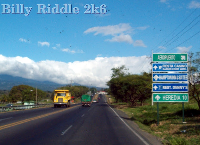 |
| Approaching the junction for the Alajuela Airport-this is about 20km northwest of San Jose. Billy said the highway was more or less under motorway conditions by this point. |
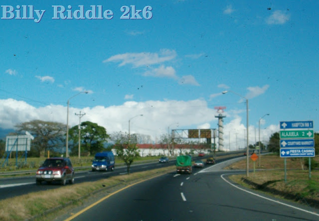 |
| The Alajuela Airport junction-the road goes dual. Westbound traffic even gets a spiffy CA stylee gantry. |
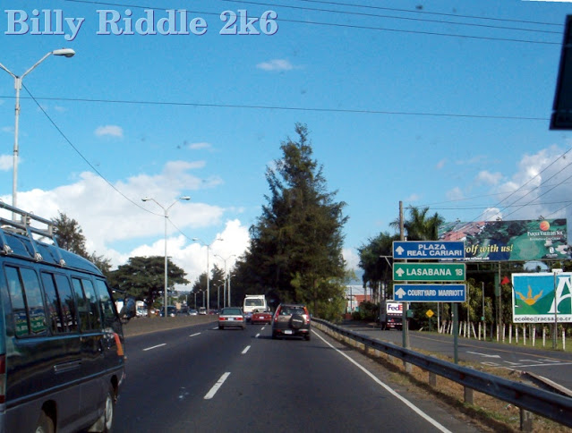 |
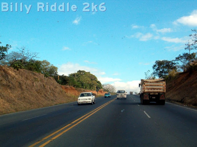
| Up to motorway standard for sure now-west of Heredia. Costa Rica's motorways all radiate from San Jose. There are really only three, and they're not awfully long. |
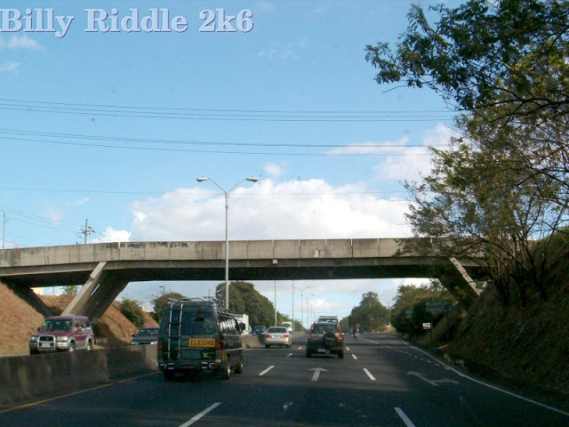 |
| Interesting overpass on the motorway. In the outside lane is another tourist van-why it's sporting a Jamaican flag, I don't know. Maybe the driver’s a Rasta. If so, it may not go anywhere fast, but the passengers are rarely put out about it. |
 |
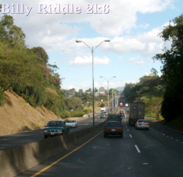
| Rolling hills on the Motorway (Pan American Highway) west of Heredia. |
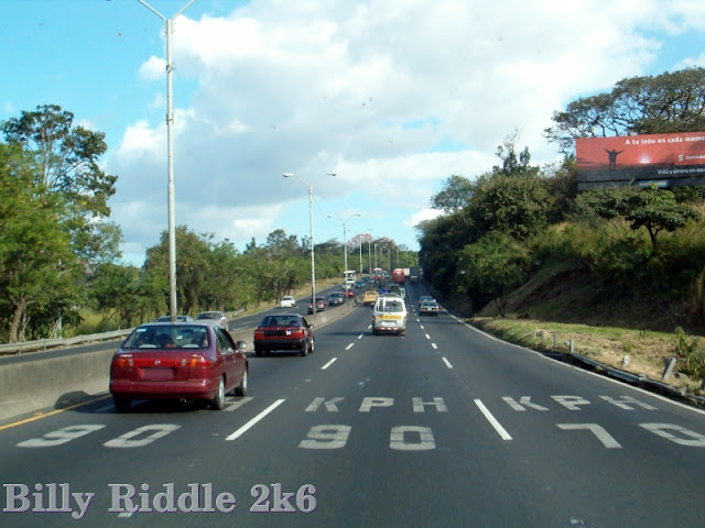 |
| Billy thought the concept of lane-specific speed limits novel. It’s actually pretty common outside the US - especially the practice of having the inside lane set at a lower speed. Not quite so novel is the lack of a hard shoulder or even a serviceable verge. Note the NY Stylee guardrail at right: i.e.: Torn up and off the post. Just like NYSDOT used to make! |
 |
| A nasty narrow bit on the motorway. |
 |
| Off the motorway now at the western end of Heredia-my guess anyway, based on the maps I have to hand. These last snaps are all near the motorway junction. In the first shot, you get a lane appropriation sign. The left and right lanes are compulsory movements. In the second shot, the motorway flies over what appears to be a roundabout type junction. It’s actually pretty old according to the name on the girder, March 1983. From this I surmise that NH 1 follows the motorway. Lastly is a shot of NH 3 going into Heredia. Looks like a shopping street from the signs in the distance. At left is a Shell station that also does oil and lubrication work It also appears to be an oil recycling center given the small blue sign. |
Sources and Links:
Two Weeks In Costa Rica -
Road Conditions Of Specific Routes In Costa RicaCosta Rica Guides -
Costa Rica's Roads and HighwaysThe Official Costa Rica Travel Blog -
Costa Rica Highway Conditions By RouteGoing Pura Vida -
Costa Rica Roads


Comments