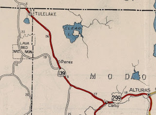
Oregon Route 39 and California State Route 139 form a 166.9 mile corridor which connects US Route 97 in Klamath Falls, Oregon south to California State Route 36 in Susanville, California. The combined corridor of Oregon Route 39 and California State Route 139 traverse remote regions such the lower Klamath Basin and Californian Cascade Range. Depicted above is Susanville-Adin Highway as featured in the September/October 1956 California Highways & Public Works after it was rebuilt as part of Federal Aid Secondary Joint Highway District #14. Susanville-Adin Highway would become the southern segment of California State Route 139 during the 1960s. Depicted below is the combined corridor of Oregon Route 39 and California State Route 139 as seen on the 2005 Caltrans State Highway Map.
Part 1; the history of Oregon Route 39 and California State Route 139
What is now Oregon Route 39 ("OR 39") was added to the State Highway System as one of the original Oregon State Highways as part of Dalles-California Highway #4 on November 27th, 1917. The original definition of Dalles-California Highway #4 can be seen on History of the State Highway System document published by the Oregon Department of Transportation.
Dalles-California Highway #4 can be seen on the 1925 Rand McNally Map of Washington and Oregon south of Klamath Falls to the California State Line near Malin. Dalles-California Highway #4 appears to have never carried an Auto Trail designation south of Klamath Falls to the California State Line.
Oregon Route 39 ("OR 39") was part of original run of Oregon Routes designated in 1932. The original definition of OR 39 had it begin at OR 66 six miles east of Klamath Falls at Lakeview Junction. OR 39 followed the Dalles-California Highway #4 through Merrill and Malin from OR 66 to the California State Line. The original definition of OR 39 can seen on the 1934 Oregon State Highway Department Oregon Route descriptions.
OR 39 can be seen following Dalles-California Highway #4 from OR 66 east of Klamath Falls to the California State Line near Malin on the 1935 Gousha Highway Map of Oregon. OR 39 can be seen connecting to what is now Old Alturas Highway in Modoc County, California.
On May 18th, 1937 Hatfield Highway #426 was added to the Oregon State Highway System as new highway originating near Merrill and terminating at the California State Line.
What became California State Route 139 ("CA 139") was brought into the State Highway System as part of Legislative Route Number 210 ("LRN 210") as part of 1939 Legislative Chapter 338. The original definition of LRN 210 carried the following stipulation:
"near Canby to the Oregon State Line near Merrill" "to the state highway system, provided that the United States Government, through its agencies the Bureau of Public Roads and Forest Service construct or reconstruct with highway funds or any other funds made available by congress for highway purposes within the state of California."
LRN 210 and 1939 Legislative Chapter 338 is referenced in the October 1939 California Highways & Public Works. LRN 210 is described as a new highway under construction by the Federal Government in Modoc National Forest between Canby (US Route 299) north through Modoc County to the Oregon State Line near Merrill. This new highway was to be assumed by the California Division of Highways upon completion.
Klamath Falls-Malin Highway #50 was spun off from Dalles-California Highway #4 in 1939 south of Klamath Falls to the California State Line near Malin.
OR 39 appears realigned from Merrill to the California State Line via Hatfield Highway #426 on the 1939 Rand McNally Map of Oregon.

1943 California Legislative Chapter 964 repealed the 1939 stipulations of LRN 210 leaving only the route definition. This action was taken upon the completion of the new highway through Modoc National Forest which subsequently was turned over to the California Division of Highways. CA 139 appears for the first time on the 1944 Division of Highways Map aligned over LRN 210 from the Oregon State Line through Modoc National Forest to US Route 299 near Canby. The numbering of CA 139 seems to have been chosen to provide route continuity with OR 39. CA 39 was not available for use given it was among the original Sign State Routes defined in the August 1934 California Highways & Public Works. The completion of the new highway through Modoc National Forest by the Bureau of Public Roads likely was a priority during World War II due to the internment camp located at Tulelake.
The
September/October 1956 California Highways & Public Works features an article detailing the upgrades made to Susanville-Adin Highway in Lassen County. Susanville-Adin Highway is described as being California's longest Federal Aid Secondary highway completed to that date. Susanville-Adin Highway was reconstructed as cooperative Joint Highway District #14 between Lassen County, the Division of Highways and Bureau of Public Roads. Joint Highway District #14 is stated to have begun improving Susanville-Adin Highway beginning in 1929. A 1928-29 survey sought to find a route connecting Joint Highway District #14 from Susanville to Bieber. The article goes onto speculate the the alignment of Joint Highway District #14 was changed in time to Adin to have better connectivity to the construction of CA 139/LRN 210 through Modoc National Forest near Canby to the Oregon State Line.
1957 California Legislative Chapter 1911 added a segment of LRN 20 along Susanville-Adin Highway from CA 36/LRN 29 in Susanville to US Route 395/LRN 73 to the State Highway System. This extension of LRN 20 would serve as part of a future extension of CA 139 between CA 36/LRN 29 and Horse Lake Road.
LRN 216 was defined by 1959 Legislative Chapter 1853 as a highway aligned from LRN 20 north of Susanville at Horse Lake Road north via Susanville-Adin Highway to US Route 299/LRN 28 near Adin. The 68 miles of Susanville-Adin Highway north of Susanville to US Route 299/LRN 28 was announced as being annexed into the State Highway System in the
November/December 1959 California Highways & Public Works.
Susanville-Adin Highway appear as LRN 20 and LRN 216 n the 1960 Division of Highways State Map.


On June 2nd, 1960 Klamath Falls-Malin Highway #50 was extended west to US Route 97/Dalles-California Highway #4 north of Klamath Falls. US Route 97 was shifted onto a bypass route of Klamath Falls which led to an extension of Klamath Falls-Main Highway #50 via; 7th Street, Main Street, Esplanade Avenue and Kit Carson Way (now Crater Lake Parkway). The original alignment of US Route 97 was retained as a signed Business Route in downtown Klamath Falls.
CA 139 appears signed from Canby to Adin via multiplex of US Route 299/LRN 28 and via Susanville-Adin Highway (LRN 216 and LRN 20) to Susanville on the
1961 Division of Highways Map. During the 1964 California State Highway Renumbering all the Legislative Route Numbers were dropped and US Route 299 was reassigned as CA 299. No major changes were made to the routing of CA 139 in conjunction with the 1964 California State Highway Renumbering.

OR 39 was extended to US Route 97 via Klamath Falls-Malin Highway #50 and the US Route 97 Business segment in downtown Klamath Falls during the January 1965 Oregon State Highway Commission meeting. The reason for OR 39 being extended was due to motorist confusion in having to utilize OR 66 to reach the highway east of Klamath Falls.
On December 17th, 1968 OR 39 Klamath Falls-Malin Highway #50 and OR 39 were shifted onto a bypass of downtown Klamath Falls via what is now Crater Lake Parkway. The surface route of OR 39 in downtown Klamath Falls was retained as a business route and a spur of Klamath Falls-Malin Highway #50.
On August 18th, 1981 the spur of Klamath Falls-Malin Highway #50 (shown as Esplanade Spur) was abandoned from the Oregon State Highway System. It is not fully clear if the Esplanade Spur was actually relinquished to the City of Klamath Falls.
Part 2; a drive on Oregon Route 39 and California State Route 139
OR 39 southbound begins from US Route 97 in the City of Klamath Falls of Klamath County. OR 39 splits from US Route 97 at Crater Lake Parkway and is co-signed as the US Route 97 Business. As noted in Part 1 Crater Lake Highway is part of Klamath Falls-Malin Highway #50.
OR 39/US Route 97 Business follow Crater Parkway to Esplanade Avenue where the latter follows it into downtown Klamath Falls via the
1949 A Canal Bridge.
Klamath Falls is the Klamath County seat and by far the largest community in the Klamath Basin. Klamath Falls was settled in 1867 as Linkville at the mouth of the Link River by George Nurse . The modern name of Klamath Falls was adopted in 1893 and the community incorporated as a City in 1905. In 1905 the Federal Government announced it would fund the Klamath Reclamation Project which would drain much of the Klamath Basin for agricultural use. The Southern Pacific Railroad plotted a line through Klamath Falls in 1909 which led to a population boom which lasted until the Great Depression.
Despite popular conjecture there appears to be no evidence of a current OR 39 Business Route co-signed with US Route 97 Business. A sign at the southeast corner of Esplanade Avenue and 5th Street directs traffics to follow it out of downtown Klamath Falls to OR 39 and OR 140. The sign mistakenly is shown with US Route 39 and US Route 140 shields as opposed to Oregon Route shields. This assembly can be seen below in a photo taken by Doug Kerr in his Gribblenation Blog titled;
Winnemucca to the Sea Highway.
OR 39 southbound follows Crater Lake Parkway on a bypass of downtown Klamath Falls and makes a left turn onto 6th Street. Oddly no OR 39 shields can be found on Crater Lake Parkway and the only indication traffic would need to use 6th Street to follow the highway is the sign directing traffic to Reno, Nevada.


OR 39 southbound follows 6th Street out of the City of Klamath Falls and intersects OR 140/Klamath Falls-Lake View Highway #20. Again no indications of OR 39 reassurance shields can be found on 6th Street but the highway is co-signed with OR 140 westbound at the OR 39/OR 140 junction. 6th Street is also part of Klamath Falls-Malin Highway #50.
As the multiplex of OR 39 south and OR 140 west begin the former is signed as 14 miles from Merill.
OR 39 south/OR 140 west pass a trailhead marker for the
OC&E Woods Line Trail. The OC&E Woods Line Trail is a repurposed grade of the Oregon, California & Eastern Railway between Klamath Falls and Bly.
The multiplex of OR 39/OR 140 is brief as the former splits following Klamath Falls-Malin Highway #50 whereas the latter follows Klamath Falls-Lake View Highway #20.
OR 39 southbound crosses under the Union Pacific Railroad and follows Klamath Falls-Malin Highway #50 into the City of Merill upon crossing the Lost River.
OR 39 southbound passes through Merill on Front Street. Merill was settled in 1890 and received Post Office Service beginning in 1896. Merill would incorporate during July of 1908 as it was to become a major siding community along the Southern Pacific Railroad.
Departing Merill OR 39 is signed as 9 miles from Tulelake, California.
OR 39 southbound splits from Klamath Falls-Malin Highway #50 and follows Hatfield Highway #426 to the California State/Siskiyou County Line where it becomes CA 139.
At Postmile SIS 5.022 CA 139 southbound intersects CA 161/State Line Road in the small rail siding community of Hatfield.
CA 139 southbound enters the City of Tulelake and intersects Main Street at Postmile SIS 1.46. Main Street is signed as the access point for Lava Beds National Monument and World War II Valor in the Pacific National Monument Tule Lake unit (shown as Tule Lake National Monument).


Tulelake was plotted in 1931 from a public land sale centered around the prospects of the expanding Klamath Reclamation Project in the southern Klamath Basin. Given the proximity of Tulelake to the Southern Pacific Railroad coupled with the upcoming development of the new highway through Modoc National Forest the community grew large enough that it incorporated as a City on March 1st, 1937. Tulelake is most well known for the Tule Lake War Relocation Center which was constructed in 1942 as an internment camp to incarcerate Japanese Americans during World War II. The Tule Lake War Relocation Center was renamed in 1943 to the Tule Lake Segregation Center and wouldn't officially close until March of 1946 after the conclusion of World War II. The Tule Lake unit was designated as part of the World War II Valor in the Pacific National Monument December 5th, 2008. A map of the Tule Lake War Relocation Center sites around Tulelake can be seen below.

Lava Beds National Monument can be found by following East-West Road west from Tulelake and south via Hill Road. From Hill Road a vista of Tule Lake can be observed. Tule Lake is a natural lake which measures 8 miles by 4 miles at full crest. Modern Tule Lake is heavily regulated by the Klamath Project which essentially made the shape square. Tule Lake became part of the Tule Lake National Wildlife Refuge in 1928.
Hill Road follows the western shore of Tule Lake into Lave Beds National Monument. Lava Beds National Monument was designated in 1925 and protects the largest lava fields within the Cascade Range. The lava beds come from the Medicine Lake Caldera which is about 30 miles northeast of Mount Shasta. The primary attraction in Lava Beds National Monument is the lava tubes ranging in age from 30,000 to 115,000.
Returning to CA 139 traffic departing south from Tulelake is notified there are no services for 72 miles. CA 139 south of Tulelake is largely signed with 65 MPH speed limits. Canby is signed as 51 miles south of Tulelake whereas Susanville is signed 140 miles via CA 139.
CA 139 southbound enters Modoc County and intersects County Route 103A. Unlike most California Counties which only sign Letter County Routes Modoc County only signs most major highways with County Route shields.
At Postmile MD 47.69 CA 139 southbound intersects County Road 111. County Road 111 is signed as access to the Lava Beds National Monument Visitor Center to the south and to Malin, Oregon to the north.
CA 139 southbound enters the community of Newell at approximately Postmile MD 44.84. Newell is another siding community of the Union Pacific Railroad and is located near the southern extent of the Klamath Basin.
County Road 122 in Newell at Postmile MD 44.17 is signed as access to the Petroglyph Unit of Lava Beds National Monument.
CA 139 southbound departing Newell is signed as 44 miles from Canby and 131 miles from Susanville.
CA 139 southbound climbs from the Klamath Basin and enters Modoc National Forest at Postmile MD 37.50. CA 139 southbound intersects Old Alturas Highway near the boundary of Modoc National Forest.
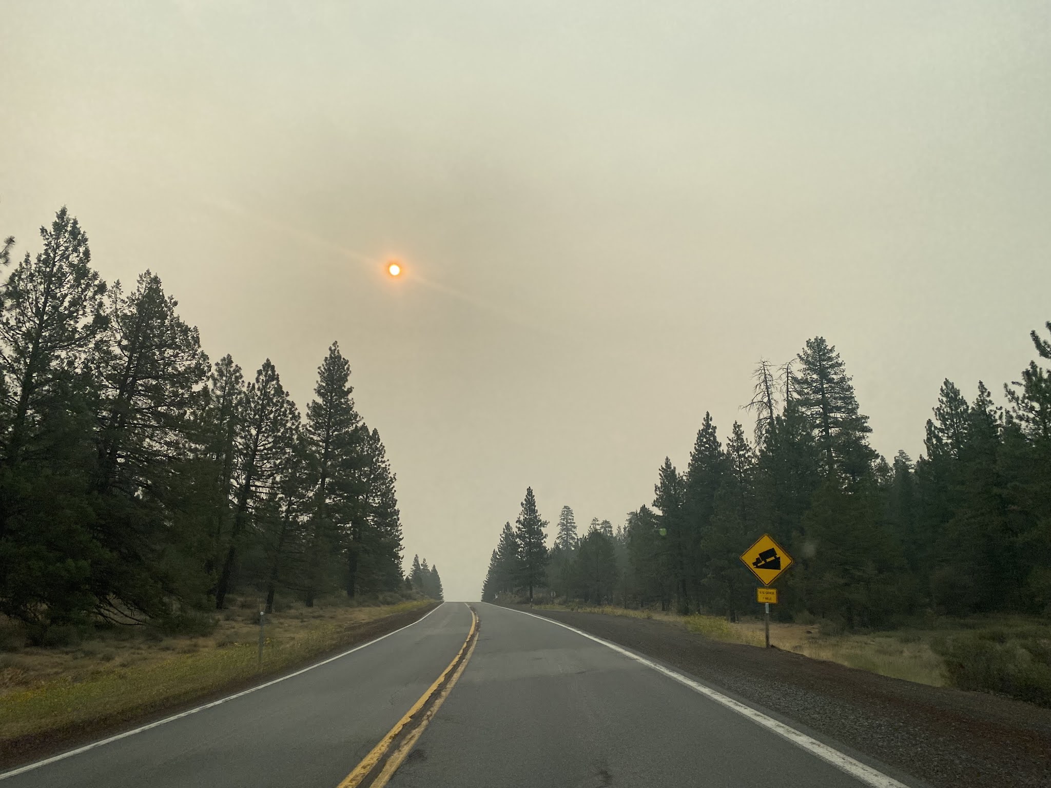
CA 139 southbound treks through Modoc National Forest and crosses the Union Pacific Railroad via the Perez Overhead at Postmile MD 30.65.
At Postmile MD 30.39 CA 139 southbound intersects Forest Route 136/Clear Lake Road.
At approximately Postmile MD 27.90 CA 139 southbound intersects County Road 97 toward Tionesta. County Road 97 is signed as access to Lava Beds National Monument.
CA 139 south of County Road 97 is signed as 28 miles from Canby and 115 miles from Susanville.
A California Agricultural Inspection Station can be found on CA 139 southbound at Postmile MD 23.19.
CA 139 southbound intersects Lookout-Hackamore Road at Postmile MD 17.34. Lookout-Hackamore Road serves as a major cutoff to CA 299 westbound in Bieber.
CA 139 south of Lookout-Hackamore Road is signed 18 miles from Canby and 105 miles from Susanville.
CA 139 southbound intersects Forest Route 46/Loveness Road at Postmile MD R7.35.
CA 139 southbound descends through Howards Gulch and exits Modoc National Forest at approximately Postmile MD R3.61.
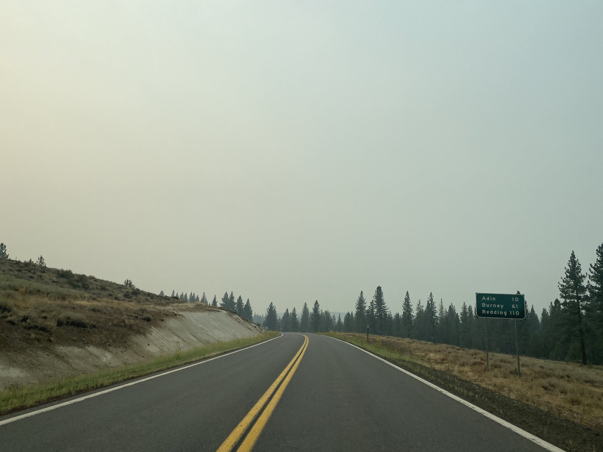
CA 139 southbound enters the outskirts of Canby and intersects CA 299. CA 139 southbound begins a multiplex of CA 299 westbound towards Adin.
CA 139 south/CA 299 west are signed as 21 miles from Adin at the beginning of their multiplex. CA 139 southbound is signed as 88 miles from Susanville.
At Route 299 Postmile MD 18.000 CA 139 south/CA 299 west cross the Pitt River.
CA 139 south/CA 299 west reenter Modoc National Forest and climb to Adin Pass at 5,173 feet above sea level.
From Adin Pass CA 139 south/CA 299 west are signed as 10 miles from Adin.
At Route 299 Postmile 8.32 CA 139 south/CA 299 west intersect County Route 198.
CA 139 south/CA 299 west cross Rush Creek and intersect the opposite end of County Route 198 at Route 299 Postmile MD 7.35.
CA 139 south/CA 299 west exit Modoc National Forest and emerges into Big Valley. CA 139 south/CA 299 west intersect County Route 86 at Route 299 Postmile MD 4.29.
CA 139 south/CA 299 west enter the community of Adin at approximately Route 299 Postmile MD 1.36.
Adin was founded as the first community west of the Warner Mountains of Modoc County in 1869 by Adin McDowell. Adin was largely founded a supplying locale for travelers to the mines of Hayden Hill in Lassen County. The Aidenville Post Office opened in 1871 and the community took it's modern name by 1876. Adin briefly saw a lumber boom during the Great Depression but never incorporated as a City.
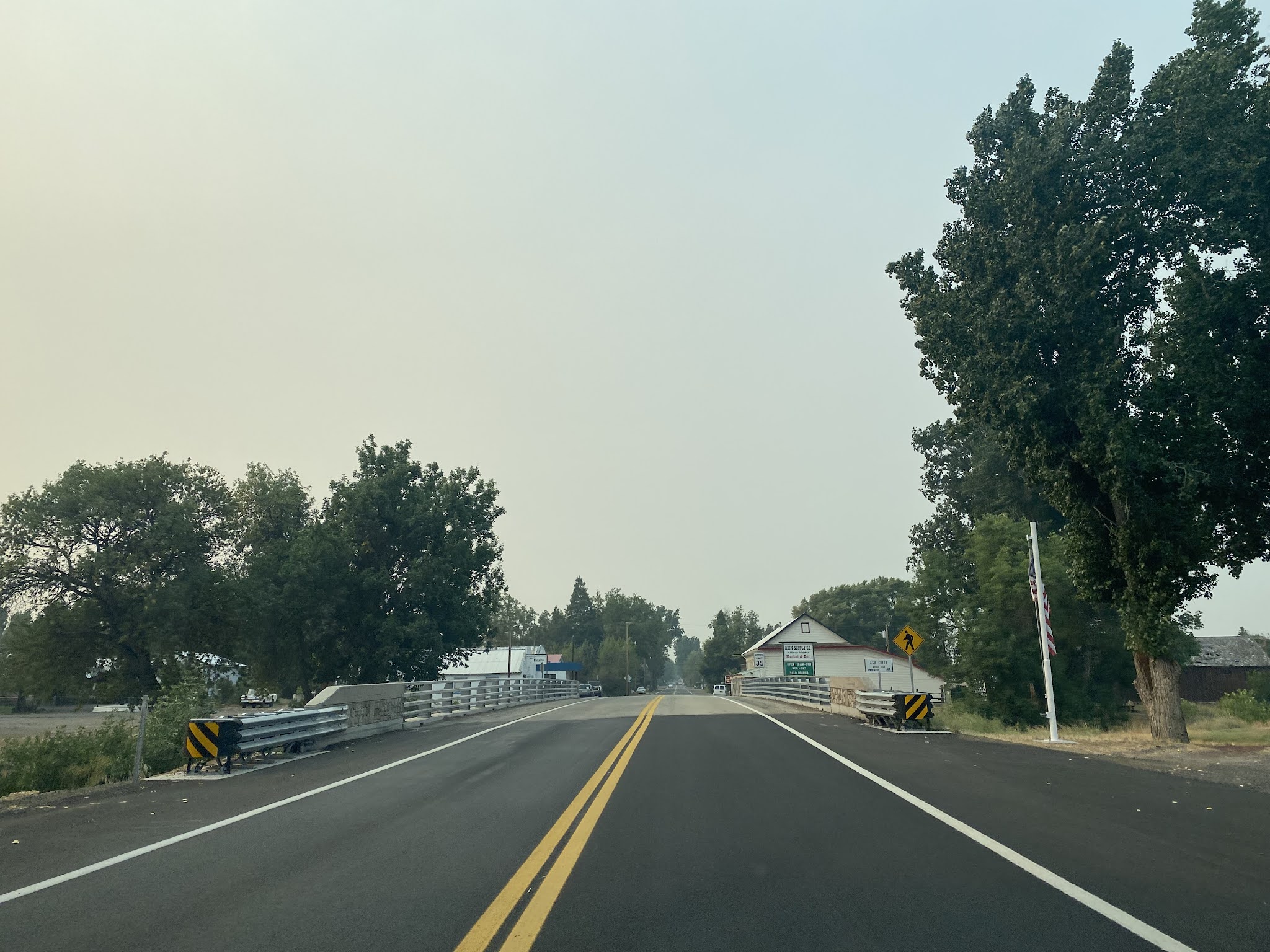
CA 139 south/CA 299 west cross Ash Creek and Butte Creek while traversing the center of Adin. South of Adin CA 139 southbound splits from CA 299 westbound.
CA 139 south of Adin enters Lassen County and is signed as not having services for 37 miles(note; the images south to Susanville are pulled from Google Street View).
At Postmile LAS 61.50 CA 139 southbound intersects Lassen County Route A2/Susanville Road.
South of Lassen County Route A2 CA 139 is signed as 61 miles from Susanville.
CA 139 southbound begins to follow Willow Creek. At approximately Postmile LAS 54.75 CA 139 southbound reenters Modoc National Forest.
CA 139 southbound emerges into Said Valley from Modoc National Forest at approximately Postmile LAS 47.57.
CA 139 southbound approaches Eagle Lake and intersects Lassen County Route A1/Eagle Lake Road at Postmile LAS 30.82. Eagle Lake is endorheic alkaline lake and has been the second largest natural lake entirely in California since the decline of Tulare Lake.
CA 139 south of Lassen County Route A1 is signed as 31 miles from Susanville.
CA 139 southbound traverses the eastern shores of Eagle Lake.
At Postmile LAS 16.95 CA 139 southbound passes by the Willow Creek Wildlife Area.
CA 139 southbound enters the City of Susanville at approximately Postmile 2.85.
CA 139 southbound enters the City of Susanville via Ash Street and terminates at CA 36. Susanville is the Lassen County Seat and lies at an elevation of 4,186 feet above sea level. Susanville was settled in the 1850s and was originally known as Rooptown. The modern community name of Susanville was adopted in 1857. Lassen County was formed in 1864 and Susanville was selected as the County Seat. Susanville incorporated as a City in 1900.


Comments