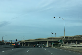
After completing the entire route of CA 17 I took I-880 north to CA 237 where the route becomes the Southbay Freeway in Milpitas.

As a full route CA 237 is only 11 miles long and traverses from I-680 west to CA 82/El Camino Real. From I-880 west CA 85 the alignment of CA 237 is a freeway with a very short expressway segment before the western terminus at CA 82. East of I-880 to I-680 the alignment of CA 237 is on Calaveras Boulevard.


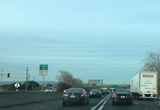
My route was on CA 237 west to US Route north on the Southbay Freeway which begins immediately west of I-880. Oddly the junction of I-880 and CA 237 doesn't include ramps for northbound I-880 traffic but does for southbound. Supposedly the freeway is up to Interstate standards but thankfully Caltrans hasn't attempted to apply for another mis-numbered Interstate like I-238 to the north. The Southbay Freeway has express lanes but was heavily clogged during rush hour traffic from cars attempt to merge. Really CA 237 probably could use two additional lanes at minimum to help relieve traffic.


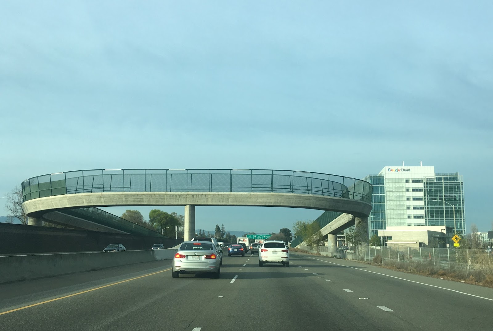
Some notable tech companies have buildings along CA 237. The Google Cloud building could be seen behind a pedestrian bridge.

I spent about 30 minutes on the Southbay attempting to just get between I-880 and US 101 northbound. Needless to say I was a little crunched for time and it killed my chance to check out CA 109 in addition to CA 114. I had originally planned to continue west to CA 82 to get a photo of the "end" placard but ultimately decided against it and pulled off onto US 101 northbound. I'm not exactly a big fan of trying to clinch freeways anyways and 237 just happened to be on my path. Interestingly there is a Juan Bautista De Anza historical route sign at the exit for US 101 north.


A good portion of CA 237 was once the northern extent of CA 9. The route number was switched to CA 237 in 1964 during the California Highway renumbering. The change can be seen by comparing the 1963 and 1964 state highway maps. In 1964 the shields on the map for CA 9 north of Saratoga disappear.
1963 State Highway Map
1964 State Highway Map
By 1967 much of what was CA 9 between Saratoga and Alviso was deleted from the state highway system leaving CA 237 orphaned. CA 9 is realigned to the modern terminus at CA 17 in Los Gatos.
1967 State Highway Map
CA 237 finally appears signed between what is now CA 82 and I-680 by 1977. Most of CA 237 is shown as an expressway configuration.
1977 State Highway Map
The Southbay Freeway was built some time in the 1990s as an upgrade from the expressway. Apparently was called Alviso-Milpitas Road. A section of the former alignment still exists as the northern frontage road west of I-880.
Apparently CA 9 used to utilize Gold Street and 1st Street in Alviso to cross the Guadalupe River as cited by CAhighways.org. The alignment of CA 9 from Alviso to what was US 101E and later CA 17 can be seen on the 1935 Santa Clara Highway Map by the California Division of Highways.
1935 Santa Clara County Map
CAhighways.org on CA 237

As a full route CA 237 is only 11 miles long and traverses from I-680 west to CA 82/El Camino Real. From I-880 west CA 85 the alignment of CA 237 is a freeway with a very short expressway segment before the western terminus at CA 82. East of I-880 to I-680 the alignment of CA 237 is on Calaveras Boulevard.


My route was on CA 237 west to US Route north on the Southbay Freeway which begins immediately west of I-880. Oddly the junction of I-880 and CA 237 doesn't include ramps for northbound I-880 traffic but does for southbound. Supposedly the freeway is up to Interstate standards but thankfully Caltrans hasn't attempted to apply for another mis-numbered Interstate like I-238 to the north. The Southbay Freeway has express lanes but was heavily clogged during rush hour traffic from cars attempt to merge. Really CA 237 probably could use two additional lanes at minimum to help relieve traffic.


Some notable tech companies have buildings along CA 237. The Google Cloud building could be seen behind a pedestrian bridge.
I spent about 30 minutes on the Southbay attempting to just get between I-880 and US 101 northbound. Needless to say I was a little crunched for time and it killed my chance to check out CA 109 in addition to CA 114. I had originally planned to continue west to CA 82 to get a photo of the "end" placard but ultimately decided against it and pulled off onto US 101 northbound. I'm not exactly a big fan of trying to clinch freeways anyways and 237 just happened to be on my path. Interestingly there is a Juan Bautista De Anza historical route sign at the exit for US 101 north.


A good portion of CA 237 was once the northern extent of CA 9. The route number was switched to CA 237 in 1964 during the California Highway renumbering. The change can be seen by comparing the 1963 and 1964 state highway maps. In 1964 the shields on the map for CA 9 north of Saratoga disappear.
1963 State Highway Map
1964 State Highway Map
By 1967 much of what was CA 9 between Saratoga and Alviso was deleted from the state highway system leaving CA 237 orphaned. CA 9 is realigned to the modern terminus at CA 17 in Los Gatos.
1967 State Highway Map
CA 237 finally appears signed between what is now CA 82 and I-680 by 1977. Most of CA 237 is shown as an expressway configuration.
1977 State Highway Map
The Southbay Freeway was built some time in the 1990s as an upgrade from the expressway. Apparently was called Alviso-Milpitas Road. A section of the former alignment still exists as the northern frontage road west of I-880.
Apparently CA 9 used to utilize Gold Street and 1st Street in Alviso to cross the Guadalupe River as cited by CAhighways.org. The alignment of CA 9 from Alviso to what was US 101E and later CA 17 can be seen on the 1935 Santa Clara Highway Map by the California Division of Highways.
1935 Santa Clara County Map
CAhighways.org on CA 237
Comments