Originally when this trip was planned out I had the Hoover Dam in mind as a location to see with the group I was traveling with. I was convinced that after a Federal Budget hadn't been passed that the Hoover Dam would be closed on Saturday. This ultimately proved to be wrong after a phone call to the Hoover Dam visitor center. With that it was back on the road which happened to hit one of the major infrastructure development projects currently active in the United States with Interstate 11.

Leaving Las Vegas I made my way to I-515/US 93/US 95 up to Railroad Pass. A brand new 2.5 mile section of I-11 has been opened southbound through Railroad Pass as of August 2017.

The northbound lanes of I-11 aren't quite finished yet and US 93/95 traffic is still directed onto the old surface road by Railroad Pass Casino.

Once the I-11 northbound lane is complete Railroad Pass will be converted onto a frontage road. Currently US 93/95 traffic is routed off the incomplete I-11 segment onto what will become US 93 Business.

The new Boulder City Bypass segment of I-11 can be to the south of US 93 Business before the junction with US 95.

US 93 presently runs on Great Basin Highway which bypasses downtown Boulder City. US 93/466 originally used Nevada Way which I recall correctly still has "TO US 93" shields on it. The old alignment is easily identified by signage directing traffic to a welcome center. Nevada way is just behing where I took this picture of the Lake Mean National Recreational Area sign.

After the Pat Tillman Bridge was completed in 2010 US 93 was shifted onto the new alignment. Part of the old Hoover Dam alignment of US 93 became NV 172 which now has an exit in front of the Hoover Dam Lodge (The Hacienda for people who remember the structure during last days of the dam crossing).

A new section of I-11 can be seen at the exit for NV 172. NV 172 will receive a whole new ramp configuration upon completion of I-11 on the Boulder City Bypass.

Surprisingly NV 172 is well signed, I don't see "BEGIN" placards all that often.

The old Bighorn Sheep warnings from Old US 93 are still present on NV 172.

NV 172 is approximately only 1.4 miles long; it ends at a Bureau of Reclamation Security checkpoint for Hoover Dam access.


Beyond the security checkpoint is the parking area for access to the Hoover Dam overlook on the Mike O'Callahghan - Pat Tillman Bridge (note; I started referring to the bridge out of habit as the Pat Tillman Bridge since that was the popular lexicon in Arizona which is where I lived when the structure was completed). I thought some of the signage warning about the hazards of the desert was pretty amusing. The handicap ramps have to be some of the longest I've seen for a fairly short staircase.


There are all sorts of plaques like this on the climb up to the Mike O'Callahghan - Pat Tillman Bridge.

Oddly the "Welcome to Nevada" sign hasn't been replaced with the new design.

Factoids are always fun; I love how the designs of the Mike O'Callahghan - Pat Tillman Bridge managed to capture the look of the Hoover Dam in the plaque designs.


Finally, the Hoover Dam comes into view as you walk towards Arizona on the Mike O'Callahghan - Pat Tillman Bridge. I caught a break in the traffic and captured probably the best picture I've taken of Old US 93 heading to the Hoover Dam.

Of course, a top-down view isn't bad to have either.

Near the beginning of the central span of the Mike O'Callahghan - Pat Tillman Bridge the Hoover Dam is centered line. Surprisingly it is really difficult to get a good panoramic given you can't hold your camera very far from the fence line.


I wonder what will happen to the US 93 on the state line plaque when it is finally decommissioned?


After crossing over the Mike O'Callahghan - Pat Tillman Bridge into Arizona I backtracked to the parking area and drove down to Hoover Dam. Old US 93 really provides a glimpse at how massive the Pat Tillman Bridge is.

I don't remember the rubber barriers on the top of Hoover Dam back in 2012 when I last took the Dam Tour.

On the Arizona side the old welcome sign is still present but has seen way better days. I recall driving over the Hoover Dam to get home to Phoenix back in the early 2000s. Traffic was a nightmare after 9/11 until truck traffic was directed to take US 95.

Old US 93 is blocked off on the Arizona side of the Hoover Dam.

All the old signs from the heyday of US 93 on the Hoover Dam are still around.


A look west provides a decent look at one of the spillways and the exposed towers. Lake Mead really has seen better days, when I visited Nevada in 2016 even the St. Thomas ghost town was above water.

Returning to US 93 via NV 172 provided a much better view of the new I-11 interchange under construction.

Interestingly I-11 northbound is briefly signed on what is officially recognized as part of I-515 just before Boulder Highway. No official route for I-11 to I-15 has been adopted but three alignments apparently are being explored. The most obvious route would be on the current I-515. There is a second proposed alignment that uses much of the I-215/CR 215 beltway to reach US 95. The third proposal would be a new alignment bypassing downtown Las Vegas.

In regard to the Hoover Dam what is often neglected to be mentioned in historic conversation is US 466. The Hoover Dam was officially dedicated in late 1935 and at the time the only US Route that would have been aligned over it was US 466. US 466 appears to have been commissioned in 1933 which I would speculate was largely due to the Hoover Dam project nearing completion. US 466 actually managed to survive being decommissioned in California in 1964 and Arizona in 1969. According to USends.com Nevada retained the US 466 designation until 1971 which essentially means it ended on the middle of the Hoover Dam at the Arizona State Line.
USends on US 466
Of course, US 93 is the more widely known highway over the Hoover Dam. It doesn't appear US 93 made it over the Hoover Dam into Arizona at least until 1935 according to USends.
USends on US 93
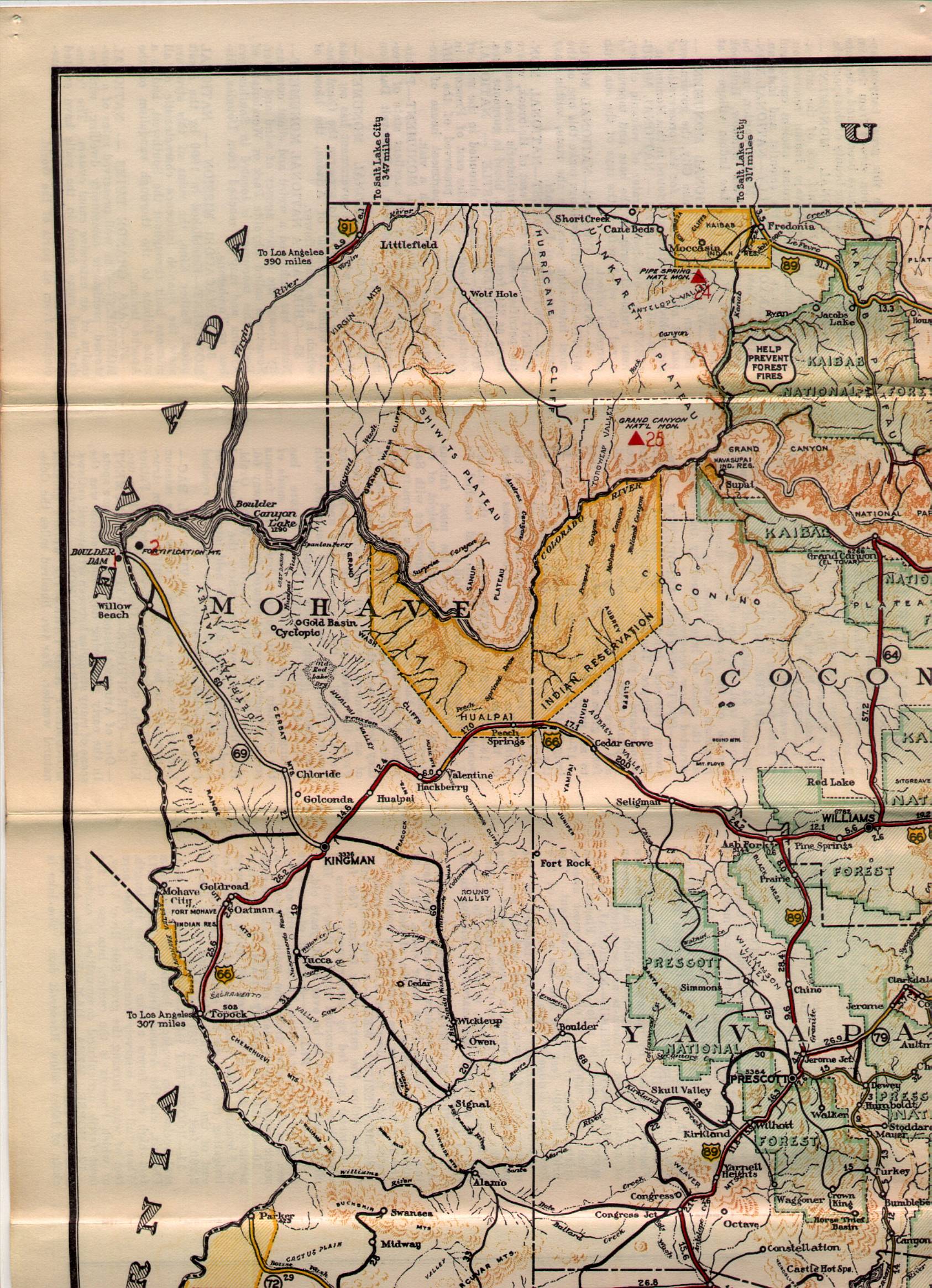
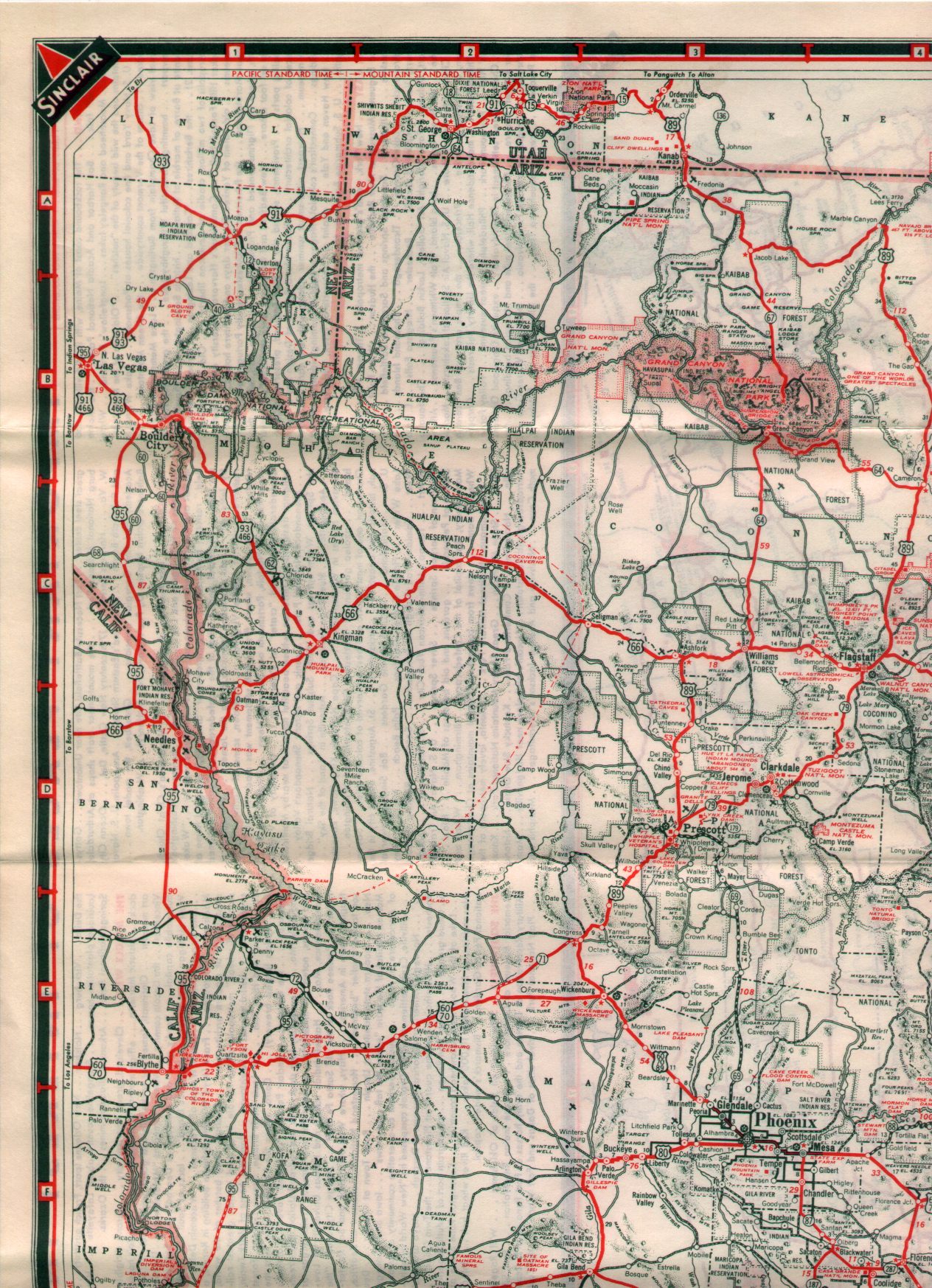
According to Arizona Roads the US 466 designation didn't make it to Arizona until 1936. The road leading from Kingman northwest to the Hoover Dam project is shown as the original AZ 69 on the 1935 Arizona State Highway Map.
1935 Arizona State Highway Map
The 1936 California State Highway Map shows US 466 whereas the 1934 map does not. That tends to lead me to believe that US 466 likely was either routed over the Hoover Dam immediately after the official dedication ceremony in 1935 or some time in 1936.
1934 California State Highway Map
1936 California State Highway Map
US 466 isn't present on the NDOT historical highway map in 1935 but is on the 1936 map.
1935 Nevada State Highway Map
1936 Nevada State Highway Map
US 93/466 can be seen co-signed over the Hoover Dam on the 1938 Arizona State Highway Map.
1938 Arizona State Highway Map
As for I-11, much of the proposed route is murky as all hell. Some proposals have I-11 going all the way to Canada and to Mexico via I-19. In my opinion having lived in Phoenix and worked in the Las Vegas Area the practical route would be as follows:
- From I-515 to the current I-11 Boulder City Bypass.
- US 93 to Wickenburg.
- US 60 to Surprise
- AZ 303 to I-10
Personally, I'm not a fan of routing I-11 along the Hassayampa River west of the White Tank Mountains in Arizona. The City of Buckeye has been annexing parcels of land for the last two decades and I suspect is the reason for much of the political pull attempting to get I-11 out that way. Presently the area is an empty desert which is blocked off from the rest of metro Phoenix by a large mountain range, it simply doesn't make sense when AZ 303 is available as a connector to I-10. In the Las Vegas Area the most simplistic alignment would be just to consume I-515 and call it a day. A new eastern bypass would be too costly, and the 215 corridor isn't direct enough. But that's just my opinion, I provided a link to the corridor study page below.
i11study.com

Leaving Las Vegas I made my way to I-515/US 93/US 95 up to Railroad Pass. A brand new 2.5 mile section of I-11 has been opened southbound through Railroad Pass as of August 2017.

The northbound lanes of I-11 aren't quite finished yet and US 93/95 traffic is still directed onto the old surface road by Railroad Pass Casino.

Once the I-11 northbound lane is complete Railroad Pass will be converted onto a frontage road. Currently US 93/95 traffic is routed off the incomplete I-11 segment onto what will become US 93 Business.

The new Boulder City Bypass segment of I-11 can be to the south of US 93 Business before the junction with US 95.

US 93 presently runs on Great Basin Highway which bypasses downtown Boulder City. US 93/466 originally used Nevada Way which I recall correctly still has "TO US 93" shields on it. The old alignment is easily identified by signage directing traffic to a welcome center. Nevada way is just behing where I took this picture of the Lake Mean National Recreational Area sign.

After the Pat Tillman Bridge was completed in 2010 US 93 was shifted onto the new alignment. Part of the old Hoover Dam alignment of US 93 became NV 172 which now has an exit in front of the Hoover Dam Lodge (The Hacienda for people who remember the structure during last days of the dam crossing).

A new section of I-11 can be seen at the exit for NV 172. NV 172 will receive a whole new ramp configuration upon completion of I-11 on the Boulder City Bypass.

Surprisingly NV 172 is well signed, I don't see "BEGIN" placards all that often.

The old Bighorn Sheep warnings from Old US 93 are still present on NV 172.

NV 172 is approximately only 1.4 miles long; it ends at a Bureau of Reclamation Security checkpoint for Hoover Dam access.


Beyond the security checkpoint is the parking area for access to the Hoover Dam overlook on the Mike O'Callahghan - Pat Tillman Bridge (note; I started referring to the bridge out of habit as the Pat Tillman Bridge since that was the popular lexicon in Arizona which is where I lived when the structure was completed). I thought some of the signage warning about the hazards of the desert was pretty amusing. The handicap ramps have to be some of the longest I've seen for a fairly short staircase.


There are all sorts of plaques like this on the climb up to the Mike O'Callahghan - Pat Tillman Bridge.

Oddly the "Welcome to Nevada" sign hasn't been replaced with the new design.

Factoids are always fun; I love how the designs of the Mike O'Callahghan - Pat Tillman Bridge managed to capture the look of the Hoover Dam in the plaque designs.


Finally, the Hoover Dam comes into view as you walk towards Arizona on the Mike O'Callahghan - Pat Tillman Bridge. I caught a break in the traffic and captured probably the best picture I've taken of Old US 93 heading to the Hoover Dam.

Of course, a top-down view isn't bad to have either.

Near the beginning of the central span of the Mike O'Callahghan - Pat Tillman Bridge the Hoover Dam is centered line. Surprisingly it is really difficult to get a good panoramic given you can't hold your camera very far from the fence line.


I wonder what will happen to the US 93 on the state line plaque when it is finally decommissioned?


I don't remember the rubber barriers on the top of Hoover Dam back in 2012 when I last took the Dam Tour.

On the Arizona side the old welcome sign is still present but has seen way better days. I recall driving over the Hoover Dam to get home to Phoenix back in the early 2000s. Traffic was a nightmare after 9/11 until truck traffic was directed to take US 95.

Old US 93 is blocked off on the Arizona side of the Hoover Dam.

All the old signs from the heyday of US 93 on the Hoover Dam are still around.


A look west provides a decent look at one of the spillways and the exposed towers. Lake Mead really has seen better days, when I visited Nevada in 2016 even the St. Thomas ghost town was above water.

Returning to US 93 via NV 172 provided a much better view of the new I-11 interchange under construction.

Interestingly I-11 northbound is briefly signed on what is officially recognized as part of I-515 just before Boulder Highway. No official route for I-11 to I-15 has been adopted but three alignments apparently are being explored. The most obvious route would be on the current I-515. There is a second proposed alignment that uses much of the I-215/CR 215 beltway to reach US 95. The third proposal would be a new alignment bypassing downtown Las Vegas.

In regard to the Hoover Dam what is often neglected to be mentioned in historic conversation is US 466. The Hoover Dam was officially dedicated in late 1935 and at the time the only US Route that would have been aligned over it was US 466. US 466 appears to have been commissioned in 1933 which I would speculate was largely due to the Hoover Dam project nearing completion. US 466 actually managed to survive being decommissioned in California in 1964 and Arizona in 1969. According to USends.com Nevada retained the US 466 designation until 1971 which essentially means it ended on the middle of the Hoover Dam at the Arizona State Line.
USends on US 466
Of course, US 93 is the more widely known highway over the Hoover Dam. It doesn't appear US 93 made it over the Hoover Dam into Arizona at least until 1935 according to USends.
USends on US 93
According to Arizona Roads the US 466 designation didn't make it to Arizona until 1936. The road leading from Kingman northwest to the Hoover Dam project is shown as the original AZ 69 on the 1935 Arizona State Highway Map.
1935 Arizona State Highway Map
The 1936 California State Highway Map shows US 466 whereas the 1934 map does not. That tends to lead me to believe that US 466 likely was either routed over the Hoover Dam immediately after the official dedication ceremony in 1935 or some time in 1936.
1934 California State Highway Map
1936 California State Highway Map
US 466 isn't present on the NDOT historical highway map in 1935 but is on the 1936 map.
1935 Nevada State Highway Map
1936 Nevada State Highway Map
US 93/466 can be seen co-signed over the Hoover Dam on the 1938 Arizona State Highway Map.
1938 Arizona State Highway Map
As for I-11, much of the proposed route is murky as all hell. Some proposals have I-11 going all the way to Canada and to Mexico via I-19. In my opinion having lived in Phoenix and worked in the Las Vegas Area the practical route would be as follows:
- From I-515 to the current I-11 Boulder City Bypass.
- US 93 to Wickenburg.
- US 60 to Surprise
- AZ 303 to I-10
Personally, I'm not a fan of routing I-11 along the Hassayampa River west of the White Tank Mountains in Arizona. The City of Buckeye has been annexing parcels of land for the last two decades and I suspect is the reason for much of the political pull attempting to get I-11 out that way. Presently the area is an empty desert which is blocked off from the rest of metro Phoenix by a large mountain range, it simply doesn't make sense when AZ 303 is available as a connector to I-10. In the Las Vegas Area the most simplistic alignment would be just to consume I-515 and call it a day. A new eastern bypass would be too costly, and the 215 corridor isn't direct enough. But that's just my opinion, I provided a link to the corridor study page below.
i11study.com
Comments