Old Yosemite Road is a short, bypassed portion of the original Yosemite Stage Road located north of Oakhurst. The corridor was developed in the 1850s and would be incorporated into the Washburn Brothers Yosemite Stage Road in 1882. The Yosemite Stage would be realigned towards Raymond in 1886 and the original highway towards Fresno Flats (now Oakhurst) would be repurposed as part of the Fresno-Yosemite Road. Bissett's Station would operate along the Fresno-Yosemite Road from 1908 through 1934 when modern California State Route 41 was constructed. Old Yosemite Road no longer is accessible as a through highway but once connected to Madera County Road 425A and Sierra National Forest Road 6S15.
What is now Old Yosemite Road can be seen north of Fresno Flats passing through Bissett's Ranch towards Sugar Pine and Wawona on the 1912 United States Geological Survey Map of Mariposa.
Part 1; the history of Old Yosemite Road
What is now Old Yosemite Road was once part of a highway which extended from Fresno north to Wawona within Yosemite National Park. The corridor began development following conclusion of the Mariposa War in 1851. Numerous mining communities began to develop which included Coarsegold in 1852 and Fresno Flats (now Oakhurst) in 1858.
The stage road through Coarsegold and Fresno Flats continued north to trail over the South Fork Merced River towards Yosemite Valley. The Mann Brothers plotted the original trail over the South Fork Merced River in 1855. The initial toll crossing of the South Fork Merced River was simply a large log which was replaced by a primitive bridge known as "Clark's Crossing" soon after Galen Clark arrived in the area. Galen Clark settled near the South Fork Merced River hoping to cure his tuberculosis. In 1857 Clark along with Milton Mann were the first Europeans to locate the nearby Mariposa Grove of Redwood Sequoias. Clark spent the ensuing years attempting to bolster tourism to the Wawona area and the Mariposa Grove. These earliest efforts by Clark yielded a series of trails which became the earliest vestiges of the Wawona Road and Mariposa Grove Road.
The 1855 Bridge over the South Fork Merced River frequently washed out and often repaired. In 1862 the original South Fork Merced River Bridge was washed out again and the crossing was replaced by felled trees. In 1864 President Lincoln signed law which led to the protection of Yosemite Valley and the Mariposa Grove. In 1868 Galen Clark constructed a new bridge crossing the South Fork Merced River. Clark intended to build a road to Yosemite Valley but ultimately failed to do so. In 1875 Clark's Station and the rest of Clark's property was purchased by the Washburn Brothers who subsequently covered the 1868 Bridge which soon came to be known as the Wawona Covered Bridge. The Wawona Covered Bridge was part of the Wawona Road until a replacement span over the South Fork Merced River was built about 700 feet to the west.
The first structure in the Wawona Hotel complex built by the Washburn Brothers complex dates back to 1876. At the time the Wawona Hotel was built to take advantage of tourism to the nearby Mariposa Grove via the Mariposa Grove Road. The name "Wawona" comes from a similar Mono Tribal word describing a Redwood Sequoia Tree. The Washburn Brothers completed the Wawona Road from their new Hotel to Yosemite Valley by 1879. In 1881 a tunnel was dug through the Wawona Tree in the Mariposa Grove to attract stages to drive through.
Despite only being less than thirty miles south of Yosemite Valley the Wawona Hotel was several days away by foot through the wilderness. The Wawona Hotel was becoming popular and interest in a stage road north to Yosemite Valley was becoming a viable concept. Thus, the Yosemite Stage & Turnpike Company was founded in 1882 to facilitate stage route travel from the Wawona Hotel to Yosemite Valley.
The Yosemite Stage Road can be seen connecting the Fresno Big Trees (Mariposa Grove) to Madera on the 1882 Bancroft's Map of California. The original Yosemite Stage Road passed through Fresno Flats and Coarsegold as it descended through the Sierra Nevada foothills following much of the eastern bank of the Fresno River towards Madera. The general alignment of the original routing of the Yosemite Stage Road follows modern Madera County Roads 400, 415, 425C, 425B, 426, 425A, Old Yosemite Road and Sierra National Forest Road 6S15.


The Yosemite Stage Road became popular enough that it drew attention of the Southern Pacific Railroad for the development of a spur line out of Berenda. Raymond was founded as Wild Cat Station and was the north terminus of the San Joaquin Valley & Yosemite Railroad which was opened by the Southern Pacific Railroad in February 1886. The San Joaquin Valley & Yosemite Railroad received its first passengers by March of 1886 and the community of Wild Cat Station became a popular trailhead for stages heading to the Wawona Hotel and Yosemite National Park. Post Office was established in July of 1886 and the community's name was changed to Raymond. Following the establishment of Raymond the Yosemite Stage Road would be realigned via Grub Gulch to reach it.
The original Yosemite Stage Road was later realigned south of Coarsegold and extended to Fresno following the completion of the original Lanes Bridge at the San Joaquin River in 1889. The Lanes Bridge can be seen below in a photo from the November 1938 California Highways & Public Works.
The Fresno-Yosemite Road can be seen north on the 1891 Thompson Atlas of Fresno County. South of Coarsegold the Fresno-Yosemite Road followed modern Madera County Roads 207, 406, 209 and the general routing of modern California State Route 41 towards the Lanes Bridge. Madera County would be spun off from the lands of Fresno County north of the San Joaquin River in 1893.
During 1908 Elick and Emma Bissett established Bissett's Station five miles north of Fresno Flats along the Fresno-Yosemite Road. Bissett's Station housed machinery which was frequently used to haul materials to both Sugar Pine and Wawona. The Fresno-Yosemite Road can be seen north of Fresno Flats (changed to Oakhurst in 1912) passing through Bisset's Ranch towards Sugar Pine and Wawona on the 1912 United States Geological Survey Map of Mariposa. The older highway is shown to originate as modern Madera County Road 425A and terminate as modern Sierra National Forest Road 6S15.
During 1933 the Fresno-Yosemite Road would be added to the State Highway System as a component of
Legislative Route Number 125. The new State Highway annexed numerous existing plans to straighten the Fresno-Yosemite Highway, including a bypass of Bissett's Station. Said bypass was announced as an advertised project north of Oakhurst in the
March 1934 California Highways & Public Works.
The bypass of Bissett's Station was complete during 1934 which led to the business being shuttered. The new State Highway north of Oakhurst followed Nelder Creek and Lewis Creek. The entirety of Legislative Route Number 125 north of Fresno would be assigned as California State Route 41 during August 1934.
The then new alignment of California State Route 41 (solid red lines) can be seen in contrast to the older Fresno-Yosemite Road on the 1935 Division of Highways Map. In modern times the older alignment has come to be known as Madera County Road 425A and Old Yosemite Road. The older corridor no longer can be used as a through road.
Part 2; exploring Old Yosemite Road
Along Madera County Road 620 approximately one mile west of California State Route 41 a pullout overlooking Oakhurst southward can be found. Modern California State Route 41 can be seen passing through the community towards Deadwood Gulch. The older and now abandoned alignment of the Fresno-Yosemite Road can be seen lining the hills as an obvious dirt cut on the right.
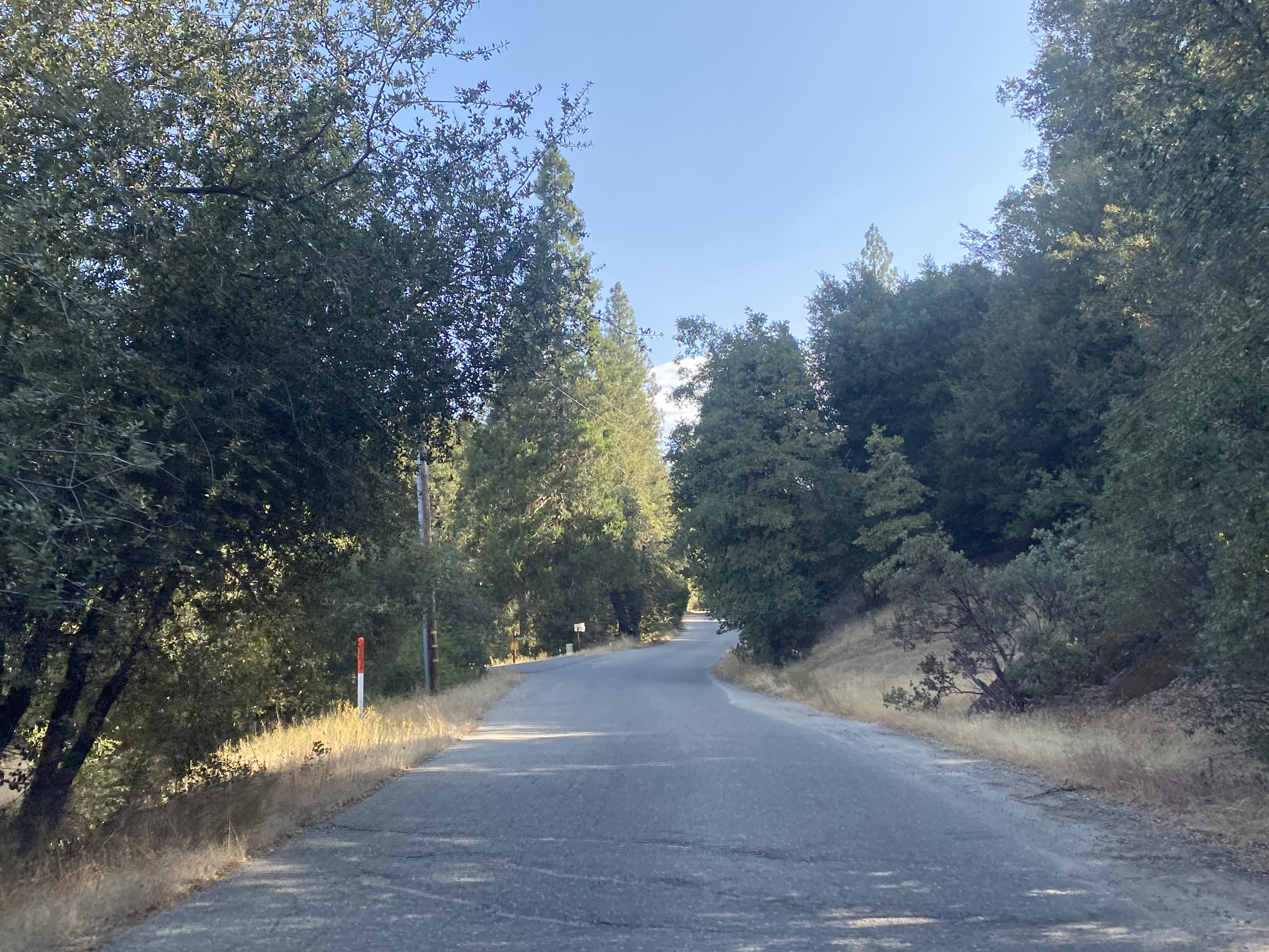
Madera County Road 620 intersects Old Yosemite Road approximately two miles west of California State Route 41.
An E. Clampus Vitus historic plaque regarding the history of Bissett Station can be found at the northeast intersection Road 620 and Old Yosemite Road (
photo courtesy E. Clampus Vitus).
Northbound Old Yosemite Road traffic is notified that it is no longer a through road. The publicly accessible road ends at a turnaround at Sunshine Mountain Road. Traffic must ultimately double back to Road 620.
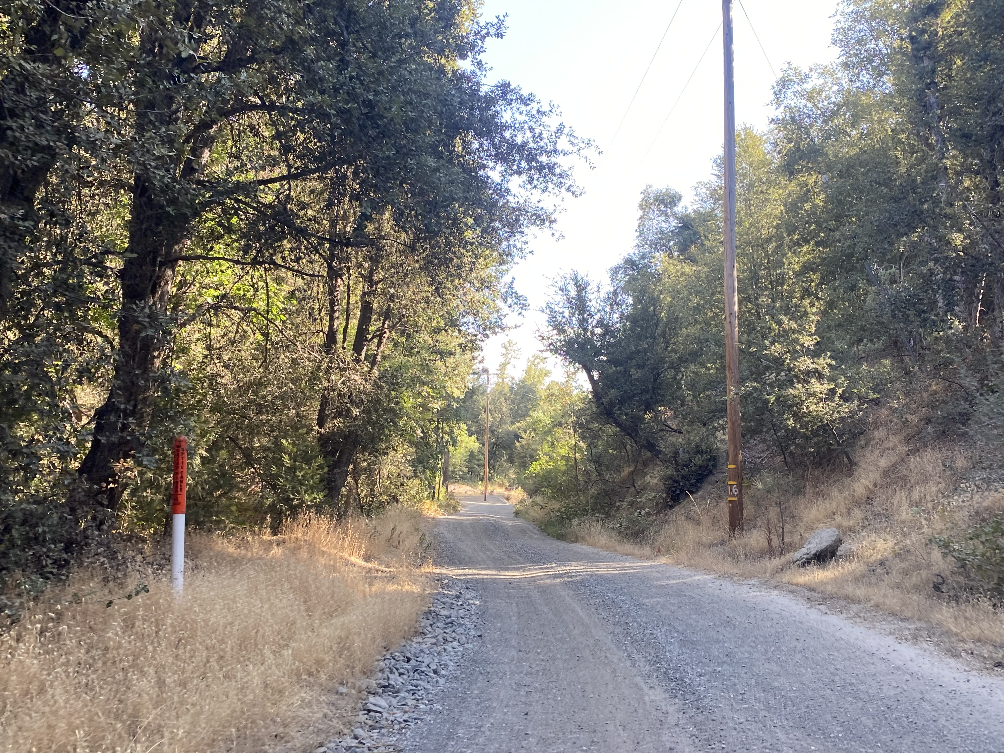
Traffic on Old Yosemite Road south of Road 620 is notified it is not a Madera County maintained road.
Old Yosemite Road ends at a cul-de-sac and no longer connects to Road 425A.


Comments