
California State Route 253 ("CA 253") is a 17 mile State Highway located entirely in within Mendocino County. California State Route 253 originates at US Route 101 near Ukiah and terminates at CA 128 near Boonville.

Part 1; the history of California State Route 253
According to CAhighways.org California State Route 253 was added to the State Highway System as part of 1963 Legislative Chapter 2155. Given that California State Route 253 ("CA 253") was added by the Legislature in the run up to the 1964 State Highway Renumbering it never had a Legislative Route Number. CA 253 first appears as a planned State Highway on the 1964 Division of Highways Map. The planned route of CA 253 appears north of the existing Ukiah-Boonville Road. The original route definition of CA 253 was "from Route 128 near Boonville to Route 101 near Ukiah."


The addition of a new highway between Boonville and Ukiah is mentioned in the September/October 1963 California Highways & Public Works.

The planned alignment of CA 253 was ultimately cancelled and the highway was assigned to Boonville-Ukiah Road. CA 253 first appears on Boonville-Ukiah Road on the 1967 Division of Highways Map.

The subject of CA 253 on Boonville-Ukiah Road is addressed in the July/August 1966 California Highways & Public Works. The history of Boonville-Ukiah Road is stated in the article to have begun in 1851 when it was known as the Anderson Valley Trail. The article elaborates that in 1868 John Gsehwind successfully petitioned the State Legislature to upgrade the existing Anderson Valley Trail to a franchise toll road. The Gsehwind Toll Road was primarily used to transport lumber and eventually was incorporated into Mendocino County's public road system no later than 1896. The Gsehwind Toll Road became Boonville-Ukiah Road and was upgraded to a 10 foot width during 1896. Boonville-Ukiah Road was further modernized beginning in 1952 under the Federal Aid Secondary program. The article states Boonville-Ukiah Road formally became CA 253 upon the completion of the final improvement contract during March 1963.


Boonville-Ukiah Road can be seen on the 1917 California State Automobile Association Map.

Boonville-Ukiah Road can be seen as a major county highway on the 1935 California Division of Highways Map of Mendocino County.


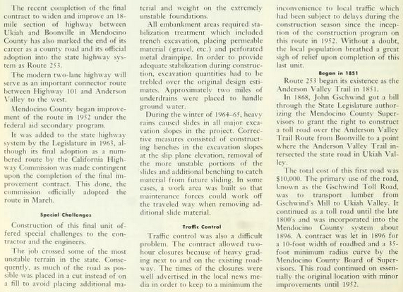
CA 253 westbound climbs a narrow ridge line and enters the Navarro River Watershed. Upon reaching the Navarro River Watershed CA 253 west traffic is advised of a 9% downhill grade.
According to CAhighways.org California State Route 253 was added to the State Highway System as part of 1963 Legislative Chapter 2155. Given that California State Route 253 ("CA 253") was added by the Legislature in the run up to the 1964 State Highway Renumbering it never had a Legislative Route Number. CA 253 first appears as a planned State Highway on the 1964 Division of Highways Map. The planned route of CA 253 appears north of the existing Ukiah-Boonville Road. The original route definition of CA 253 was "from Route 128 near Boonville to Route 101 near Ukiah."

The addition of a new highway between Boonville and Ukiah is mentioned in the September/October 1963 California Highways & Public Works.
The planned alignment of CA 253 was ultimately cancelled and the highway was assigned to Boonville-Ukiah Road. CA 253 first appears on Boonville-Ukiah Road on the 1967 Division of Highways Map.

The subject of CA 253 on Boonville-Ukiah Road is addressed in the July/August 1966 California Highways & Public Works. The history of Boonville-Ukiah Road is stated in the article to have begun in 1851 when it was known as the Anderson Valley Trail. The article elaborates that in 1868 John Gsehwind successfully petitioned the State Legislature to upgrade the existing Anderson Valley Trail to a franchise toll road. The Gsehwind Toll Road was primarily used to transport lumber and eventually was incorporated into Mendocino County's public road system no later than 1896. The Gsehwind Toll Road became Boonville-Ukiah Road and was upgraded to a 10 foot width during 1896. Boonville-Ukiah Road was further modernized beginning in 1952 under the Federal Aid Secondary program. The article states Boonville-Ukiah Road formally became CA 253 upon the completion of the final improvement contract during March 1963.


Boonville-Ukiah Road can be seen on the 1917 California State Automobile Association Map.

Boonville-Ukiah Road can be seen as a major county highway on the 1935 California Division of Highways Map of Mendocino County.

Part 2; a drive on California State Route 253
Our drive on CA 253 begins from US 101 northbound near Ukiah. US 101 north Exit 546 transitions onto CA 253 westbound at State Street.


At Postmile MEN 16.863 CA 253 westbound transitions onto Boonville-Ukiah Road. Truck traffic is given a 30 foot advisory at the transition to Boonville-Ukiah Road.


Approaching Robinson Creek CA 253 traffic is advised of 15 miles of curvy roads. CA 253 westbound crosses Robinson Creek at approximately Postmile MEN 15.070. Traffic is further advised that CA 128/Boonville are 16 miles westward whereas as CA 1 is 46 miles.


CA 253 west of Robinson Creeks begins a lengthy elevation climb.


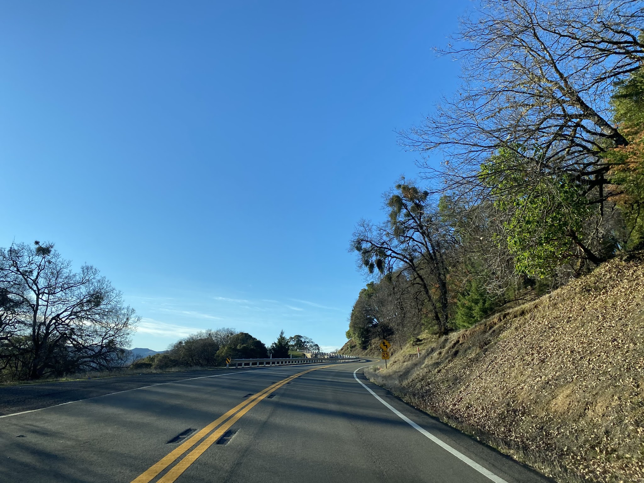


Upon entering the Navarro River Watershed CA 253 west traffic is advised CA 128 is 6 miles away whereas CA 1 is signed as 36 miles away.


CA 253 west enters Bell Valley, crosses Soda Creek, and passes by a business known as "The Toll House" in what is likely a reference to the Gsehwind Toll Road. CA 253 west follows Soda Creek to a small community known as Soda Springs at Postmile MEN 4.00.


CA 253 west follows the course of Soda Creek to it's terminus at CA 128 on the outskirts of Boonville.


Comments