This month I drove Bitterwater Road and Bitterwater Valley Road over the Temblor Range to Blackwell's Corner.

Bitterwater Road and Bitterwater Valley Road to Blackwell's Corner
My route from CA 58 was northeast on Bitterwater Road and Bitterwater Valley Road over the Temblor Range to California State Route 46 (former US Route 466). From CA 46 in Bitterwater Valley I took a short eastern jog to Blackwell's Corner at intersection of CA 46/CA 33. My path from CA 58 to Blackwell's Corner in total was 29.6 miles in length.

Note; the full length of Bitterwater Road from CA 46/CA 41 near Cholame south to CA 58 within Carrizo Plain was featured previously on Gribblenation. The previous feature contains the notable greenery of the very wet winter of 2017 and can be found here:
Bitterwater Road
Bitterwater Road is a rural highway which begins at CA 58 in Carrizo Plain of San Luis Obispo County. Bitterwater Road climbs into the Temblor Range where it briefly enters Kern County and enters the watershed of Bitterwater Creek. Bitterwater Road continues northwest following the San Luis Obispo County and Kern County Line to CA 46/CA 41 near Cholame. Bitterwater Road is a very old rural highway which can be observed on the 1917 California State Automobile Association Map of California. Notably Bitterwater Road during 1917 appears as a continuation of Soda Lake Road.

Bitterwater Valley Road is an approximately 15 mile roadway which originates at Bitterwater Road atop the San Andreas Fault of San Luis Obispo County. Bitterwater Valley Road follows the course of Bitterwater Creek through the Temblor Range into Kern County where it emerges into Bitterwater Valley and reaches CA 46. The first map I could find to clear display Bitterwater Valley Road was the 1935 California Division of Highways Map of Kern.

I began my journey towards Blackwell's Corner by way of making a northbound turn onto Bitterwater Road from CA 58 westbound. CA 46 and Cholame are signed being 32 miles to the north on Bitterwater Road.


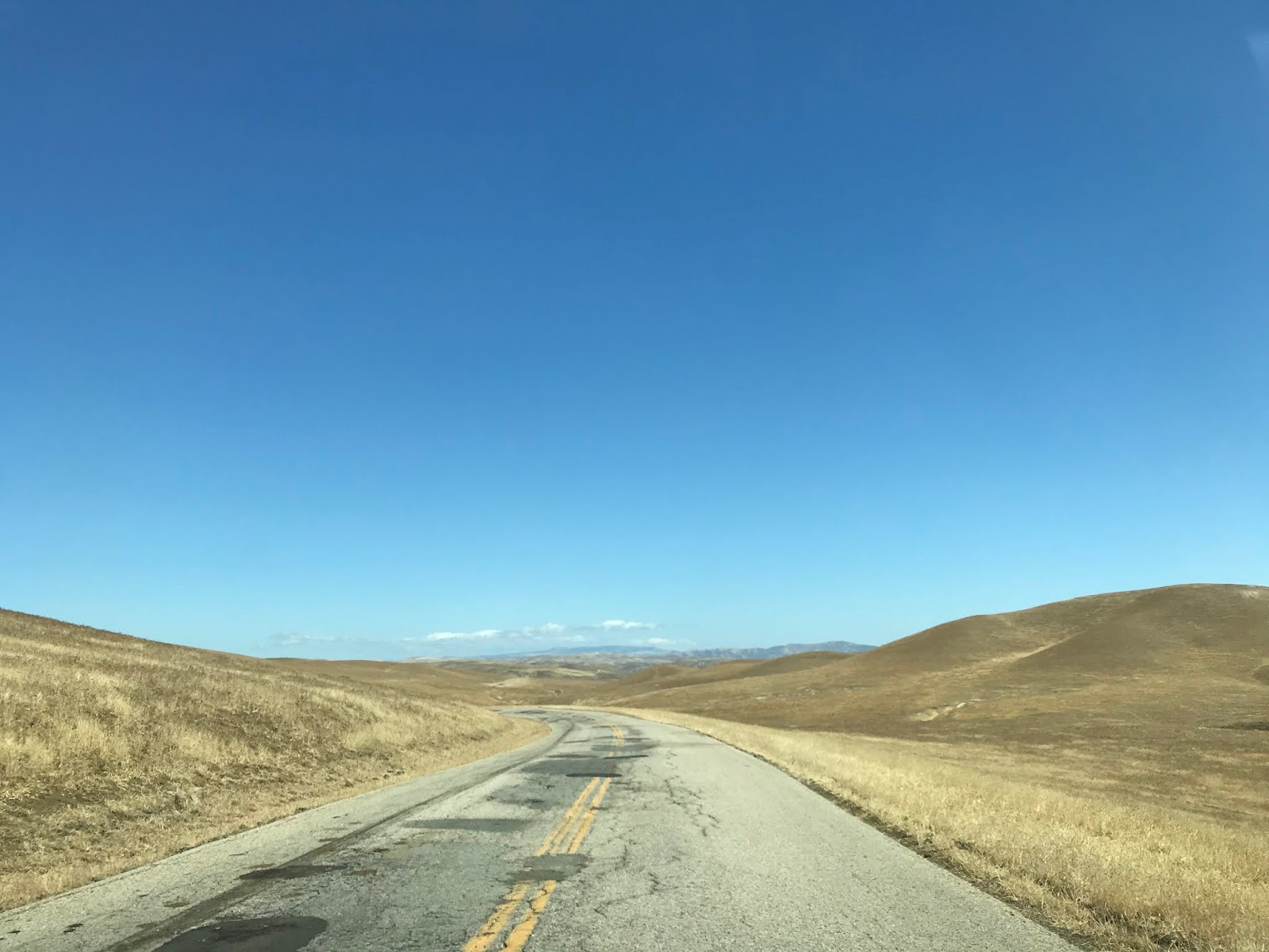
Bitterwater Road initially begins in the northern reaches of Carrizo Plain. Bitterwater Road northward is initally flat and passes through a series of ranches before reaching the Temblor Range. Oddly along Bitterwater the route ahead to CA 46 is signed as 36 miles away as opposed to the 32 seen from CA 58.


Bitterwater Road swings northeast within the Temblor Range. Just northeast of Las Yeguas Ranch the route of Bitterwater Road intersects the abandoned segment of Soda Lake Road (the last photo below).


Bitterwater Road takes a northwest turn and enters the San Andreas Fault along the course of Bitterwater Creek.


Bitterwater Road intersects Bitterwater Valley Road within the San Andreas Fault via a right-hand turn eastbound. Interestingly CA 46 is shown to be 17 miles away which more likely is a reference to the distance to Blackwell's Corner.


Bitterwater Valley Road initially jogs east through the Temblor Range following the course of Bitterwater Creek.


Bitterwater Valley Road emerges into Bitterwater Valley where it takes a northeastern turn to CA 46.


Upon reaching CA 46 I turned eastward towards CA 33 and Blackwell's Corner. Blackwell's Corner was the last place James Dean was seen alive before his infamous cross to the west in Cholame. There is a couple James Dean billboards (one containing a brief historic summary) located at Blackwell's Corner. The photos below were taken during March of 2020 during the end of the wet season.


Blackwell's Corner is heavily intertwined into the backstory of US Route 466. More on US 466 as it relates to current CA 46 can be found below:
Legacy of US Route 466 Part 1; California State Route 46

Bitterwater Road and Bitterwater Valley Road to Blackwell's Corner
My route from CA 58 was northeast on Bitterwater Road and Bitterwater Valley Road over the Temblor Range to California State Route 46 (former US Route 466). From CA 46 in Bitterwater Valley I took a short eastern jog to Blackwell's Corner at intersection of CA 46/CA 33. My path from CA 58 to Blackwell's Corner in total was 29.6 miles in length.

Note; the full length of Bitterwater Road from CA 46/CA 41 near Cholame south to CA 58 within Carrizo Plain was featured previously on Gribblenation. The previous feature contains the notable greenery of the very wet winter of 2017 and can be found here:
Bitterwater Road
Bitterwater Road is a rural highway which begins at CA 58 in Carrizo Plain of San Luis Obispo County. Bitterwater Road climbs into the Temblor Range where it briefly enters Kern County and enters the watershed of Bitterwater Creek. Bitterwater Road continues northwest following the San Luis Obispo County and Kern County Line to CA 46/CA 41 near Cholame. Bitterwater Road is a very old rural highway which can be observed on the 1917 California State Automobile Association Map of California. Notably Bitterwater Road during 1917 appears as a continuation of Soda Lake Road.

Bitterwater Valley Road is an approximately 15 mile roadway which originates at Bitterwater Road atop the San Andreas Fault of San Luis Obispo County. Bitterwater Valley Road follows the course of Bitterwater Creek through the Temblor Range into Kern County where it emerges into Bitterwater Valley and reaches CA 46. The first map I could find to clear display Bitterwater Valley Road was the 1935 California Division of Highways Map of Kern.

I began my journey towards Blackwell's Corner by way of making a northbound turn onto Bitterwater Road from CA 58 westbound. CA 46 and Cholame are signed being 32 miles to the north on Bitterwater Road.


Bitterwater Road initially begins in the northern reaches of Carrizo Plain. Bitterwater Road northward is initally flat and passes through a series of ranches before reaching the Temblor Range. Oddly along Bitterwater the route ahead to CA 46 is signed as 36 miles away as opposed to the 32 seen from CA 58.


Bitterwater Road swings northeast within the Temblor Range. Just northeast of Las Yeguas Ranch the route of Bitterwater Road intersects the abandoned segment of Soda Lake Road (the last photo below).


Bitterwater Road takes a northwest turn and enters the San Andreas Fault along the course of Bitterwater Creek.


Bitterwater Road intersects Bitterwater Valley Road within the San Andreas Fault via a right-hand turn eastbound. Interestingly CA 46 is shown to be 17 miles away which more likely is a reference to the distance to Blackwell's Corner.


Bitterwater Valley Road initially jogs east through the Temblor Range following the course of Bitterwater Creek.


Bitterwater Valley Road emerges into Bitterwater Valley where it takes a northeastern turn to CA 46.


Upon reaching CA 46 I turned eastward towards CA 33 and Blackwell's Corner. Blackwell's Corner was the last place James Dean was seen alive before his infamous cross to the west in Cholame. There is a couple James Dean billboards (one containing a brief historic summary) located at Blackwell's Corner. The photos below were taken during March of 2020 during the end of the wet season.


Blackwell's Corner is heavily intertwined into the backstory of US Route 466. More on US 466 as it relates to current CA 46 can be found below:
Legacy of US Route 466 Part 1; California State Route 46
Comments