
Guadalupe Canyon Parkway is a four-mile mountainous expressway located in the San Mateo County, California. Guadalupe Canyon Parkway connects Market Street in Daly City east to Bayshore Boulevard (former US Route 101) via San Bruno Mountain. The corridor was completed as a partially limited access road in 1968 and is mostly known for being part of the famous chase scene in the movie Bullitt.

Part 1; the history of Guadalupe Canyon Parkway
San Bruno Mountain is a fault block horst which extends from northern San Mateo County into the city of San Francisco. San Bruno Mountain has a peak elevation of 1,319 feet above sea leave but carries a prominence of 1,114 feet.
During the 1840s Bruno de Heceta coined the name "Sierra de San Bruno" to honor his patron saint. When California became an American state, the name was retained and would be anglicized to "San Bruno Mountain" by the United States Geological Survey. San Bruno Mountain would become a popular location for cemeteries during the California Gold Rush.
The city and county of San Francisco would begin to resist expansions of cemeteries in the early 20th century. This led to the establishment of Colma as a necropolis on the southwest corner of San Bruno Mountain in San Mateo County. Colman would incorporate as "Lawndale" during August 1924 but would revert to the original name during November 1941.
A primitive ranching road can be seen crossing San Bruno Mountain from Brisbane west towards Daly City on the 1935 Division of Highways Map.

The ranching road over the northern extent of San Bruno Mountain can be seen in detail on the 1939 United States Geological Survey Map of San Mateo. The road can be seen originating in Brisbane in Guadalupe Valley at Bayshore Boulevard (then US Route 101 Bypass). The opposite end is shown to terminate near what is now Hill Boulevard in Daly City.

Radio Road can be seen atop San Bruno Mountain on the 1956 United States Geological Survey Map of South San Francisco. Towers for KQED, KNBC-FM and KRON-TV can be seen at the end of Radio Road at the peak of San Bruno Mountain. A spur of Radio Road is seen connecting to a military installation near Colma. The military installation was constructed between 1954-1956 as a control station for the Nike anti-aircraft defense systems of Fort Funston and Milagra Ridge.

In 1965 Westbay Community Associates announced planned to level 27 acres of San Bruno Mountain. The earth removed from San Bruno Mountain was intended to be repurposed as landfill at Sierra Point. The excavated saddle was planned to be developed as several new neighborhood. Guadalupe Canyon Parkway was constructed during 1968 as partially limited access expressway which would serve the planned neighborhoods on San Bruno Mountain.
Guadalupe Canyon Parkway was famously used during the filming of the 1968 movie Bullitt. A mostly then two-lane Guadalupe Canyon Parkway can be seen between 6:45-10:00 as detective Frank Bullitt (played by Steve McQueen) purses a 440ci Magnum V8 1968 Dodge Charger driven by hitmen in his 390ci V8 1968 Ford Mustang GT Fastback.
During the late 1960s and early 1970s local opposition contributed to real estate development on San Bruno Mountain ceasing. In 1978 San Mateo County purchased 1,100 acres of San Bruno Mountain which was followed by the State purchasing 256 acres in 1980. Much of these land parcels now comprise San Bruno Mountain State & County Park. The older roadway over San Bruno Mountain has since been repurposed as part of the Old Ranch Road Trail and Old Guadalup Trail.

The State would purchase an additional 83 acres of San Bruno Mountain in 1989 to establish San Bruno Mountain Ecological Reserve.
Part 2; a drive on Guadalupe Canyon Parkway
Guadalupe Canyon Parkway can be reached from Interstate 280 in Daly City following the Sullivan Avenue exit and Market Street east. Guadalupe Canyon Parkway begins as eastbound Market Street approaches the Daly City limit near Price Street.


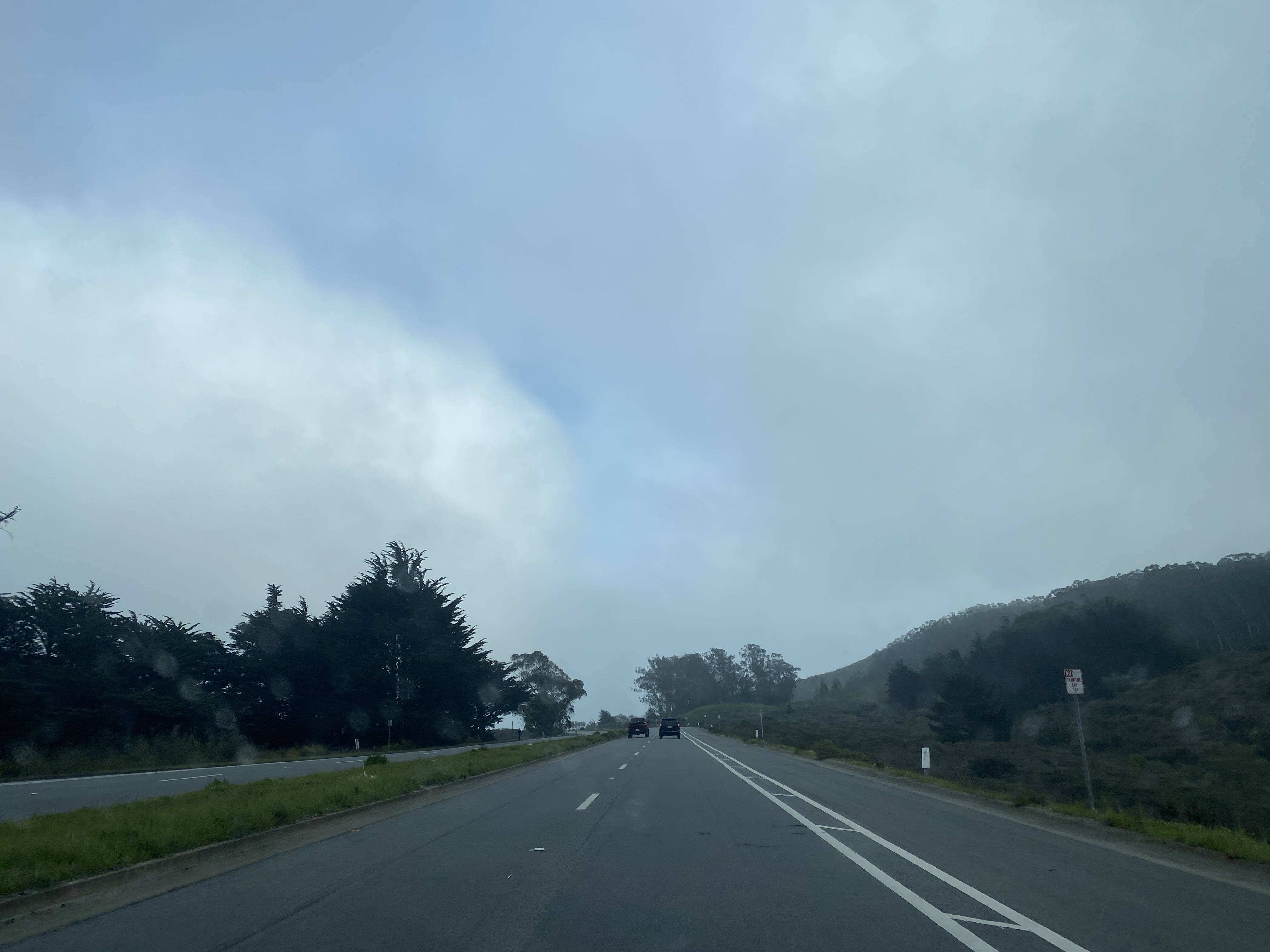
Guadalupe Canyon Parkway climbs over the top of San Bruno Mountain and enters the city of Brisbane approaching Carter Street.


Guadalupe Canyon Parkway descends from Carter Street and terminates at Bayshore Boulevard.


Comments