
Hawaii Route 11 is part of the Hawaii Belt Road and the longest State Highway in Hawaii at 121.97 miles. The corridor begins at Hawaii Route 19 in Kailua-Kona and loops the southern end of the Big Island to Kamehameha Avenue in Hilo. Hawaii Route 11 is one of the original 1955 era State Highways designated on the Big Island and historically is tied to the Mamalahoa Highway. Mamalahoa Highway originates from the 1783 Law of the Splintered Paddle which was declared by Kamehameha I.

This page is part of the Gribblenation Hawaii Roads series. A compellation of all Hawaii-related media from both Gribblenation and RoadwayWiz can be found by clicking here.

Part 1; this history of Hawaii Route 11
Hawaii Route 11 is part of Mamalahoa Highway (the Hawaii Belt Road) and is the longest Hawaiian State Route at 121.97 miles. The highway begins at the mutual junction of Hawaii Route 19 and Hawaii Route 190 in Kailua-Kona. From Kailua-Kona the routing of Hawaii Route 11 crosses the volcanic landscapes of southern side of the Big Island. Hawaii Route 11 terminates at Hawaii Route 19/Kamehameha Avenue near Hilo Bay and Hilo International Airport.
Mamalahoa Highway was declared by royal decree in 1783 via the Law of the Splintered Paddle. The law was conceived based off an incident Kamehameha I was part of along the Puna coast. During said incident Kamehameha I and his men were conducting a shoreline raid when they encountered two Puna fisherman. While pursuing the fisherman across a lava field one of Kamehameha's feet was caught in a rock. The fishermen seized upon the opportunity to retaliate and struck Kamehameha in the head with a wooden paddle.
Kamehameha opted to not retaliate against the fisherman and used the incident as the basis of the Law of the Splintered Paddle. The law essentially guaranteed safe passage to all travelers across the Hawaiian Islands and was used as a basis of Mamalahoa Highway on the Big Island. The highway corridor was rapidly developed across the Big Island and was mostly annexed as early automotive roads.
In 1955 the Hawaii Route System was modified and expanded to the Big Island. The southern half of Mamalahoa Highway from Kailua-Kona to Hilo was assigned Hawaii Route 11. The early routing of Hawaii Route 11 can be seen on the 1959 Gousha Map of Hawaii.


Hawaii Route 11 has had several minor realignments on the southern side of the Big Island. The older alignment segments typically appear on maps as Old Mamalahoa Highway or Old Volcano Road.
The alignment of Hawaii Route 11 in Kailua-Kona has changed significantly. The highway headed north from Captain Cook originally entered Kailua-Kona via Kuakini Highway. Hawaii Route 11 followed Kuakini Highway into downtown Kailua-Kona where it met Hawaii Route 19 at Palani Road. This early alignment can be seen on the 1961 United States Geological Survey map of Kailua-Kona (courtesy historicaerials.com).

According to Oscar Voss's Hawaii Highways webpage the alignment of Hawaii Route 11 shifted onto to an extension of Queen Kaahumanu Highway around 1976. This alignment shift removed Kuakini Highway from the Big Island State Highway system.
Hawaii Route 11 begins in Kaliua-Kona at the mutual junction of Hawaii Route 19, Hawaii Route 190 and Hawaii County Route 187. Volcano is used as a control destination and is noted to be 96 miles away.


Hawaii Route 11/Queen Kaahumanu Highway next intersects Kuakini Highway.

Hawaii Route 11/Queen Kaahumanu Highway intersects Hawaii County Route 185 at Kamehameha III Road. Kamehameha III Road provides access to Keauhou Bay.

Hawaii Route 11/Queen Kaahumanu Highway intersects the actual Hawaii County Route 180 at Haawina Street. Hawaii County Route 180 is mostly carried by Mamalahoa Highway north to Hawaii Route 190.

In southern Kailua-Kona Hawaii Route 11 transitions softly to Mamalahoa Highway. Volcano is signed as being 87 miles away.

Hawaii Route 11 passes through Kealakekua and turns left at a mutual junction with Hawaii County Routes 187 and 161. Hawaii County Route 187 provides access back to Kailua-Kona via Alii Drive whereas County Route 161 follows Napoopoo Road to County Route 160 near Kealakekua Bay.

Hawaii Route 11 passes south through the Captain Cook area and intersects Hawaii County Route 160 at Keala O Keawe Road. County Route 160 provides access to Puuhonua O Honaunau National Historical Park. Volcano is signed as being 76 miles away from the Hawaii Route 11/Hawaii County Route 160 junction.


Hawaii Route 11 south of the Keokea area passes through 15 miles of mountainous grades mostly signed with a 35 MPH speed limit. The highway begins to level out at Milolii Road and is signed as being 63 miles from Volcano.


Hawaii Route 11 passes through Manuka State Wayside and Ocean View. Shortly beyond Ocean View an overlook of South Point can be found. South Point is the furthest point south on the Big Island and also within the fifty American states.


Hawaii Route 11 passes through the Kahuku annex of Hawaii Volcanos National Park and intersects South Point Road. Said road is 12 miles long and can be used to access South Point.


Hawaii Route 11 begins tract eastward and descends into the community of Waiohinu.


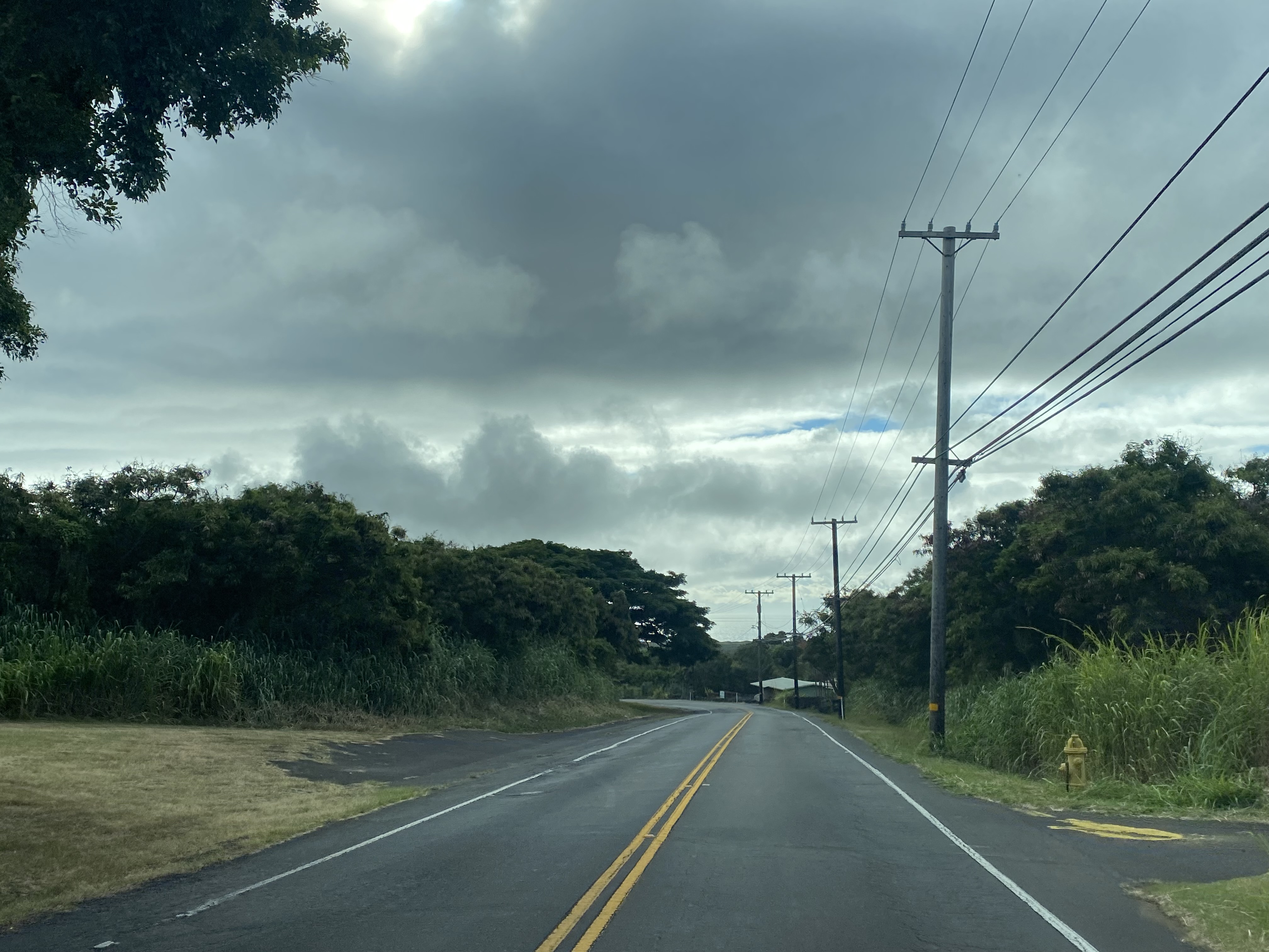
Hawaii Route 11 passes through the community of Naalehu and descends past the Halekane Lookout.


Hawaii Route 11 turns northeast and intersects Ninole Loop Road. Ninole Loop Road can be used to access Punaluu Black Sand Beach.


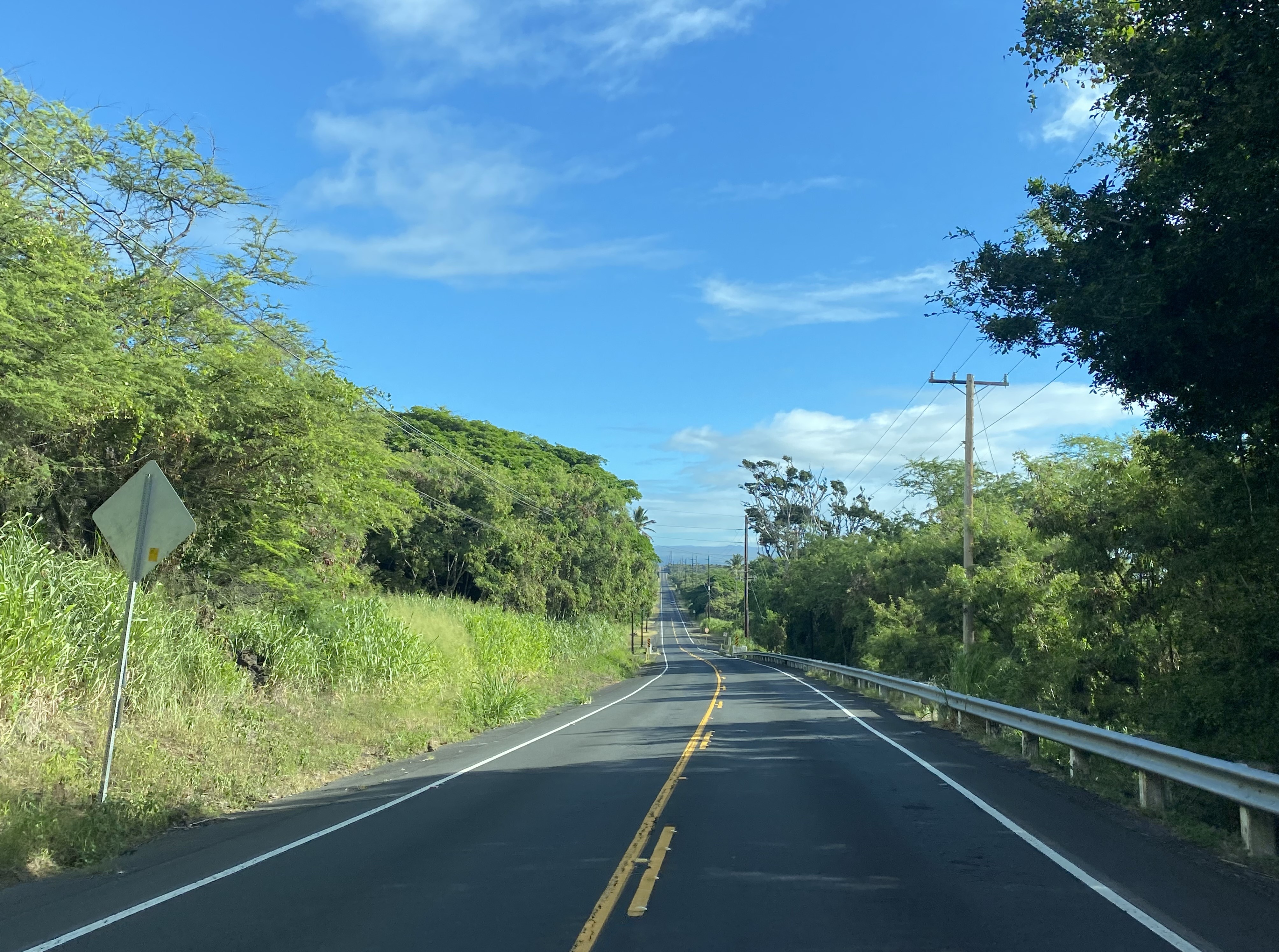


Hawaii Route 11 passes through Pahala where it would have once intersected Hawaii Route 15 at Maile Street. Volcano is signed as being 22 miles from Pahala.


Hawaii Route 11 enters the main annex of Hawaii Volcanos National Park.


Hawaii Route 11 intersects Crater Rim Drive which is the main access road in Hawaii Volcanos National Park. Said road can be used to reach the Kilauea caldera and Chains of Craters Road.


Hawaii Route 11 departs the National Park boundary and passes through the community of Volcano. Volcano Road and Old Volcano Road in the area are former alignments of Hawaii Route 11, they also appear on some older commercial maps as Hawaii Route 144.


Hawaii Route 11 intersects Hawaii County Route 148 at Wright Road in Volcano. Said County Route was conceived as a proposed crossing north to the Saddle Road (Hawaii Route 200) during the 1960s.

Hawaii Route 11 continues northeast from Volcano through the communities of Mountain View, Kurtistown and Keaau. Within Keaau the highway expands to four lanes and intersects Hawaii Route 139 at Keaau-Pahoa Road. Guide signage indicates Hilo as being 9 miles away.


Hawaii Route 11 intersects Hawaii Route 130 in Keaau at Keaau-Pahoa Bypass Road.
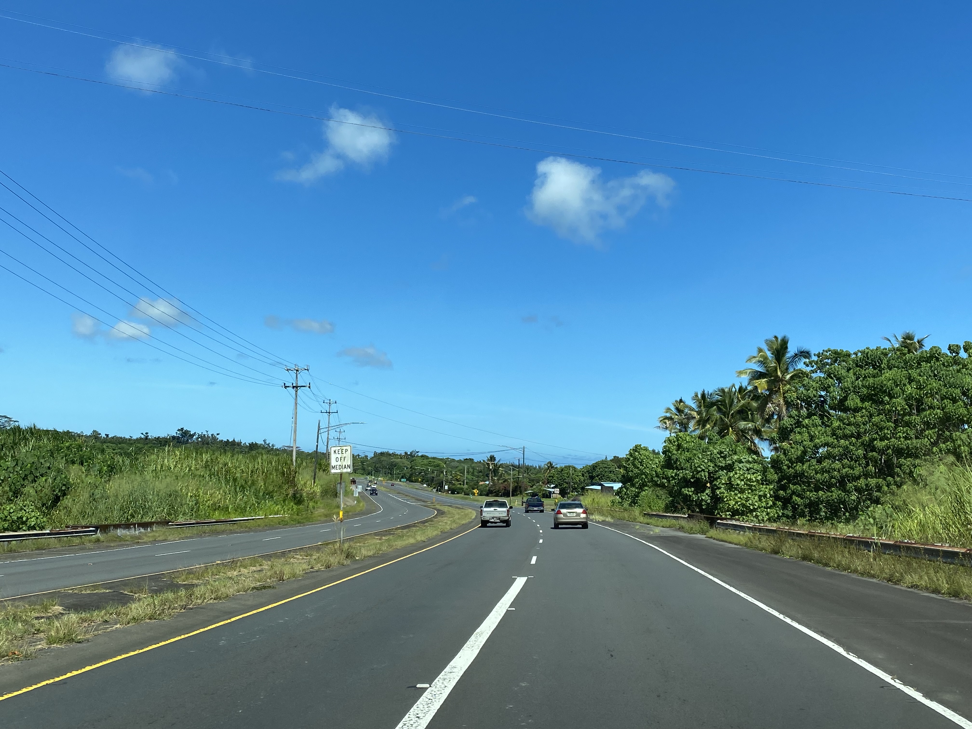


From Keaau the alignment of Hawaii Route 11 shifts north towards Hilo. The highway between Keaau and Hilo intersects Stainback Highway.


Hawaii Route 11 enters Hilo on Kanoelehau Avenue and intersects Hawaii Route 2000 at Puainako Street.


Hawaii Route 11 passes the entrance to Hilo International Airport and terminates at Hawaii Route 19/Kamehameha Avenue. Hawaii Route 11 has a rare Big Island "end" placard and is signed to Mile Marker 0 at the Hilo terminus.


Comments