
Madera County Road 606 is an approximately 4.5-mile rural highway located in the Sierra Nevada foothills near Raymond. The roadway accesses the mining town site of Knowles which was located along Whiskey Creek near the Raymond Granite Quarry. Much of modern Road 606 south of the Knowles town site was constructed over the grade of the Knowles Spur Railroad. Said rail spur operated in the area from 1899 to 1946.

Part 1; the history of Road 606 and Knowles
During 1886 the Raymond town site was plotted along the then new alignment of the Washburn Brothers Yosemite Stage Road. The Yosemite Stage Road became popular enough that it drew attention of the Southern Pacific Railroad for the development of a spur line out of Berenda. Raymond was founded as Wild Cat Station and was the north terminus of the San Joaquin Valley & Yosemite Railroad which was opened by the Southern Pacific Railroad in February 1886.
The San Joaquin Valley & Yosemite Railroad received its first passengers by March of 1886 and the community of Wild Cat Station became a popular trailhead for stages heading to the Wawona Hotel and Yosemite National Park. Post Office was established in July of 1886 and the community's name was changed to Raymond. The name Raymond was chosen due to the community frequently being the used to ship materials from the nearby Raymond Granite Quarry. The quarry site was previously known as Ducy's Rock Pile and had come under the ownership of Fredrick Erwin Knowles during the mid-1880s.
The Knowles property soon began to develop into a standalone mining community. A schoolhouse was constructed near the Raymond Granite Quarry during 1891. The Knowles school would begin to be operated by Fresno County in 1892 and the district would be transferred when Madera County was split in 1893. During 1899 the Raymond Granite Company constructed the "Knowles Spur" from the San Joaquin Valley & Yosemite Railroad. By 1902 the community of Knowles obtained Post Office service.
Knowles, the Knowles Spur Railroad and what is mostly now Road 606 can be seen on the 1912 United States Geological Survey map of Mariposa. The road to Knowles is shown to serve as a loop of Raymond Road (now Road 600 and 415) and bypass of Raymond.

The San Joaquin Valley & Yosemite Railroad and Knowles Spur were shuttered in 1946. Shortly after the railroad closure much of the grade was repurposed into the new road alignment from Knowles Junction to Knowles itself. Knowles would lose Post Office service during 1955 despite the Raymond Granite Quarry remaining open.
Modern Madera County Road 606 can be seen on the 1962 United States Geological Survey map of Raymond. Knowles would be described as a "ghost town" in an April 11, 1963, Fresno Bee article.

Part 2; a drive on Road 606
Northbound Road 606 begins at Road 600 just south of Raymond at Knowles Junction. Traffic is advised that Knowles is located 3 miles from the intersection.


Much of northbound Road 606 to St. Anne's Catholic Church occupies the grade of the Raymond Spur. A historic plaque detailing the history of the Knowles can be found at the Hiles Pride Inn.


Road 606 crosses Whiskey Creek and passes through what is left of the Knowles town site. The Raymond Granite Quarry is easily observed east of the roadway.
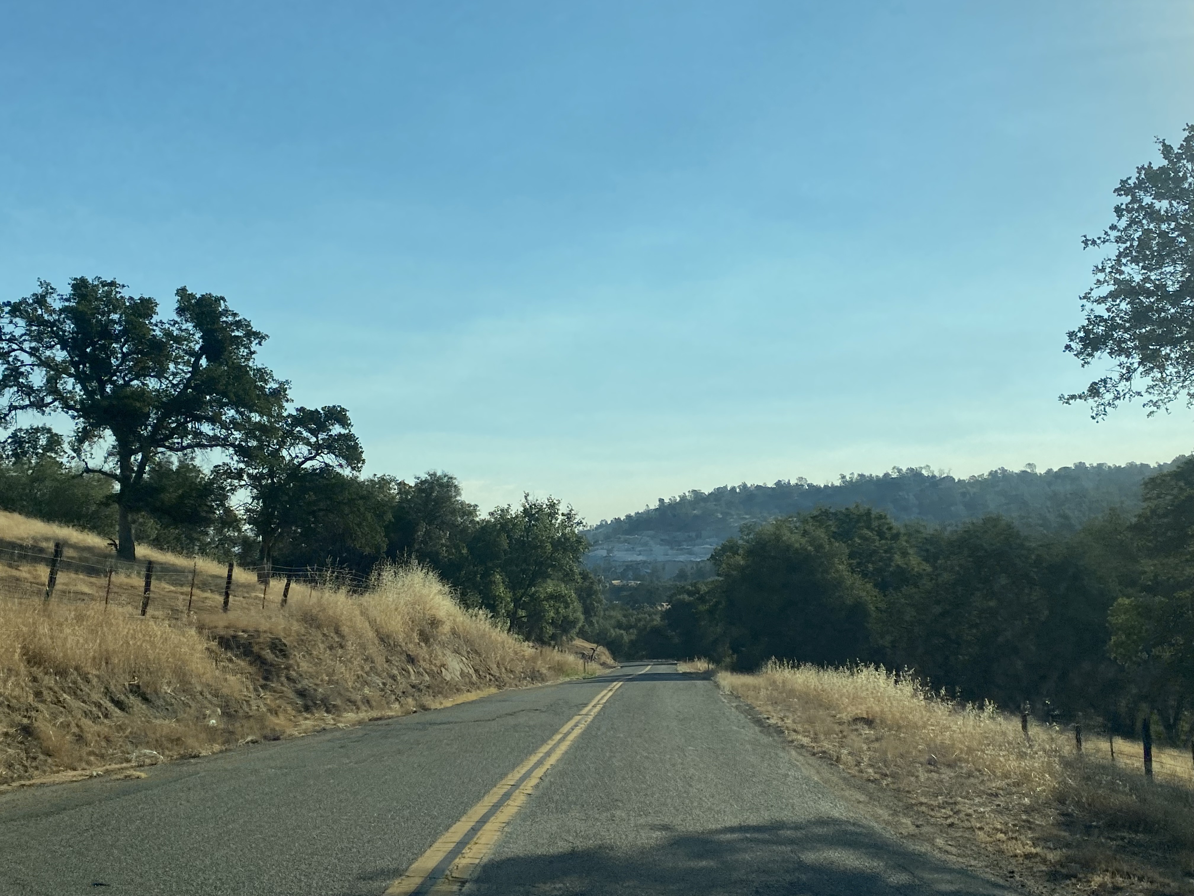


Road 606 continues north of the Raymond Granite Quarry and follows the course of Whiskey Creek to a terminus at Road 415.


Comments