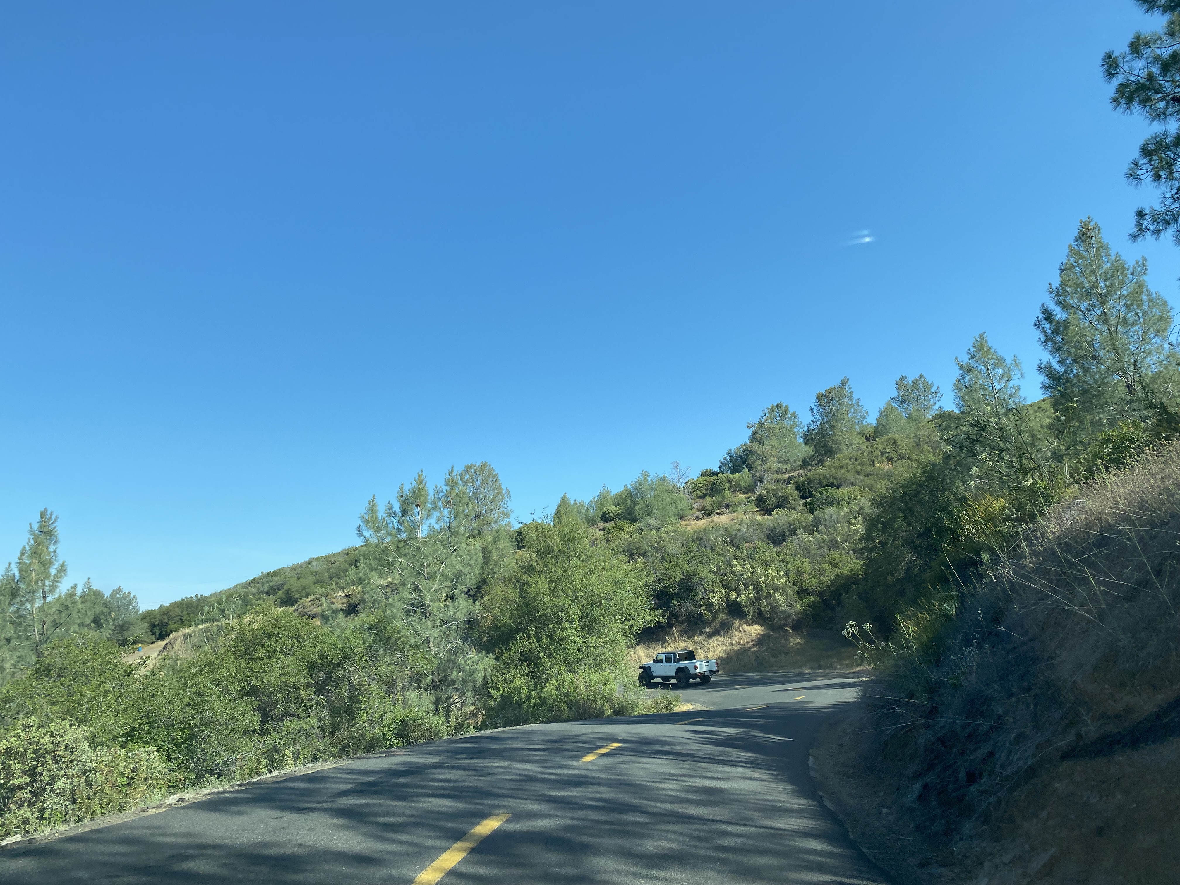
Priest-Coulterville Road

Priest-Coulterville Road is an approximately eight-mile roadway which connects the outskirts of Coulterville of Mariposa County to Priest Station of Tuolumne County.  Priest-Coulterville Road is one of the oldest highway corridors in California as it can be traced back to the 1850s during the of the California Gold Rush.  Below Priest-Coulterville Road can be observed connecting Coulterville to the Big Oak Flat area on the 1882 Bancroft's Map of California & Nevada.  


Part 1; the history of Priest-Coulterville Road

Both Coulterville and Priest Station are communities which were settled in the Sierra Nevada Mountains during the early phases of the California Gold Rush.  Early access to Big Oak Flat and Garotte in Tulare County was initially difficult as only a haggard foot trail on the southern flank of Grizzly Gulch existed in the early California Gold Rush.  Travelers ascending the Grizzly Gulch Trail would pass by what ultimately become Priest Station which had been established in 1849 as a mining supply store.  Coulterville of Mariposa County was founded in 1850 along Maxwell Creek and is named after George Coulter.  Originally Coulterville was called Maxwell Creek, but it the community's name was changed by 1853.

The corridor of Priest-Coulterville Road was heavily prospected as part of the Big Oak Flat Mining District during the early California Gold Rush.  The Grant Group Mine, Contact Gold Mine, Raggio Claim, Two Brothers Mine, Jack Lode and Penon Blanco Mine are all listed as known claims on the corridor of Priest-Coulterville Road on thediggings.com.  

The 1955 article titled "The Big Oak Flat Road" by Irene D. Paden and Margaret E. Schlichtmann contains an 1859 reference to Priest-Coulterville Road and the mining camp known as Bone Yard:

"Just one mile from Smith’s a dirt road leads north to the Lumsden bridge over the main Tuolumne River and goes on to the Jawbone country and to Cherry Creek Pack Station. The original covered bridge at this point, as well as several other bridges, trails and flumes, were constructed by James Lumsden and his brother, David. They were the sons of James and Clarissa Lumsden who settled in 1859 at Boneyard. It was never a village—just a small section on the connecting road between Priest’s Station and Coulterville. James Lumsden, the younger, lived in Groveland for nearly sixty years and raised eight sons and a daughter. The brothers are best remembered as the pair who carved out the tunnel tree in Tuolumne Grove in 1878."

The above passage seems to suggest the corridor of Priest-Coulterville Road likely was a pack trail during the early California Gold Rush which was built up to a public roadway franchise toll road during the 1850s.  Priest Coulterville Road would have provided connections with other notable roads in the areas such as the 1859 Priest Grade Road, Wards Ferry Road, Big Oak Flat Road and Coulterville Road.  Priest-Coulterville Road can be observed connecting Coulterville to the Big Oak Flat area on the 1882 Bancroft's Map of California & Nevada.  


Priest-Coulterville Road appears on the 1917 California State Automobile Association Map as a minor highway.  


Priest-Coulterville Road appears on the 1935 Division of Highways Maps of Mariposa County and Tuolumne County as a major local highway.  


Part 2; a drive on Priest-Coulterville Road

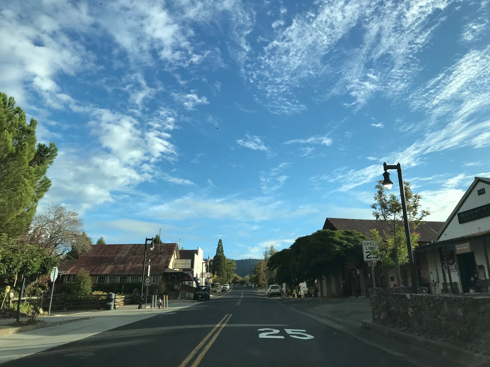
Priest-Coulterville Road is accessible approximately two-miles east of downtown Coulterville via Mariposa County Route J132.  County Route J132 is an implied continuation of California State Route 132 to California State Route 120.  County Route J132 begins in downtown Coulterville on Main Street and continues to Greeley Hill Road.  Coulterville is located at approximately 1,700 feet above sea level. 


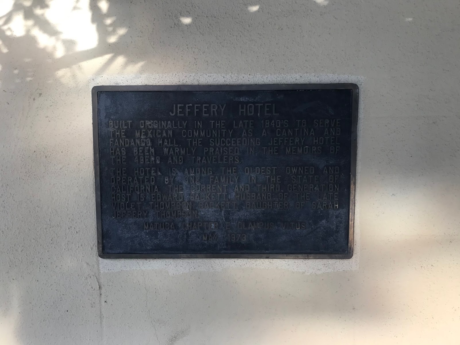
Coulterville has numerous buildings from the 1850s which remain in the community today.  Some of the more notable buildings in Coulterville are the Hotel Jeffery, the Barrett Blacksmith Shop and the Wells Fargo building.


County Route J132 on Main Street is co-signed as the Historic John Muir Route.  Traffic on County Route J132 eastbound is advised that Coulterville is considered a Historic Town.


County Route J132 eastbound traverses downtown Coulterville and splits from Main Street onto Greeley Hill Road at Chinatown Main Street.


Main Street continues into the former Chinatown District of Coulterville.  Coulterville much like many of the Gold Rush Era communities relied heavily on Chinese mining labor and was segregated.  Today there is only one building in Coulterville's Chinatown which shows evidence of what it once was.


County Route J132 on Greeley Hill Road continues east of Coulterville it passes by Dogtown Road.  Dogtown Road was part of an alternate route for stages on the Coulterville Road which passed by; the ghost town of Dogtown, Date Flat, and the Red Cloud Mine.


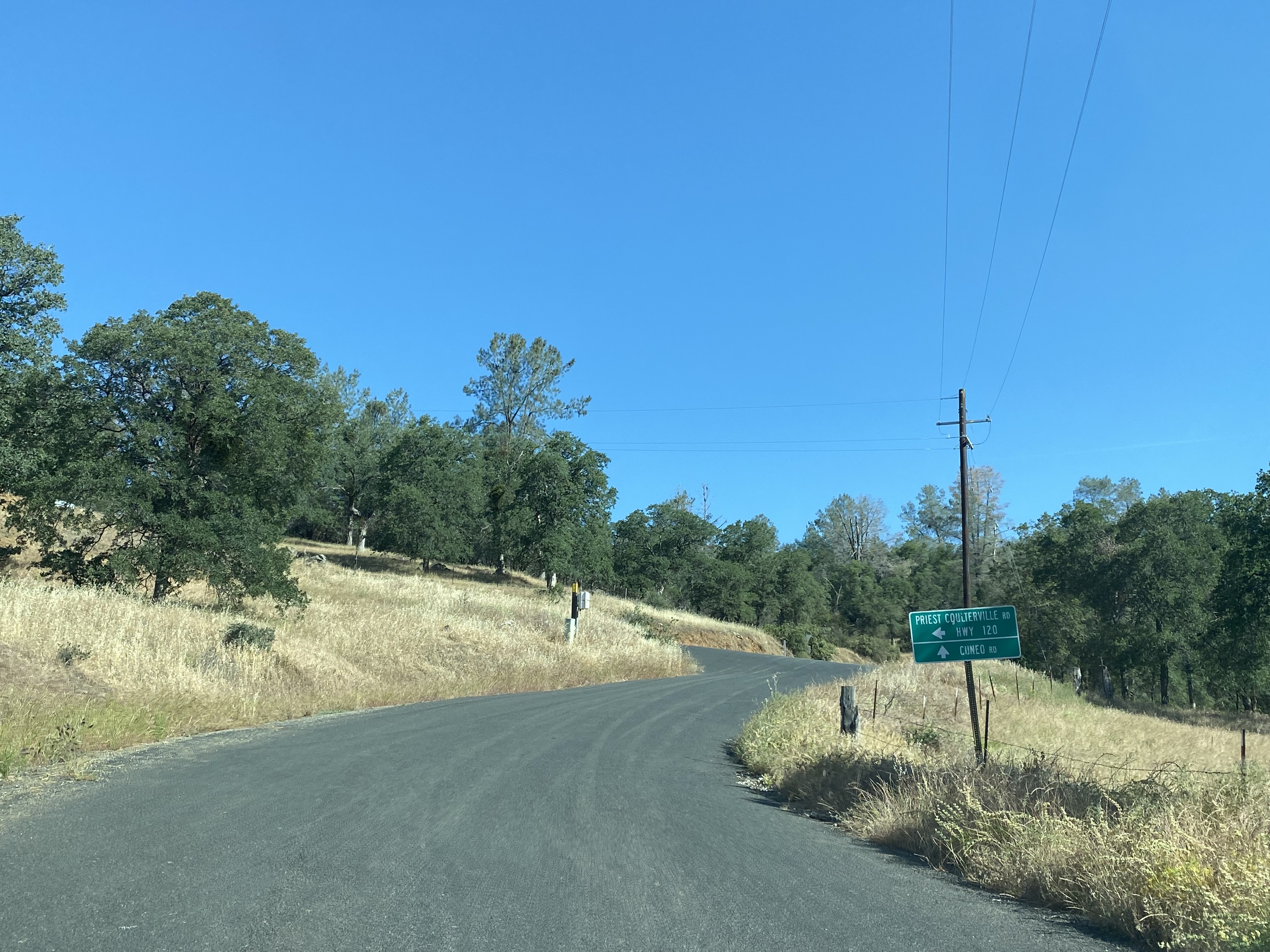
Traffic on County Route J132 eastbound on Greeley Hill Road is advised of 8 miles of curves ahead.  The next major junction on J132 eastbound is at Priest-Coulterville Road.


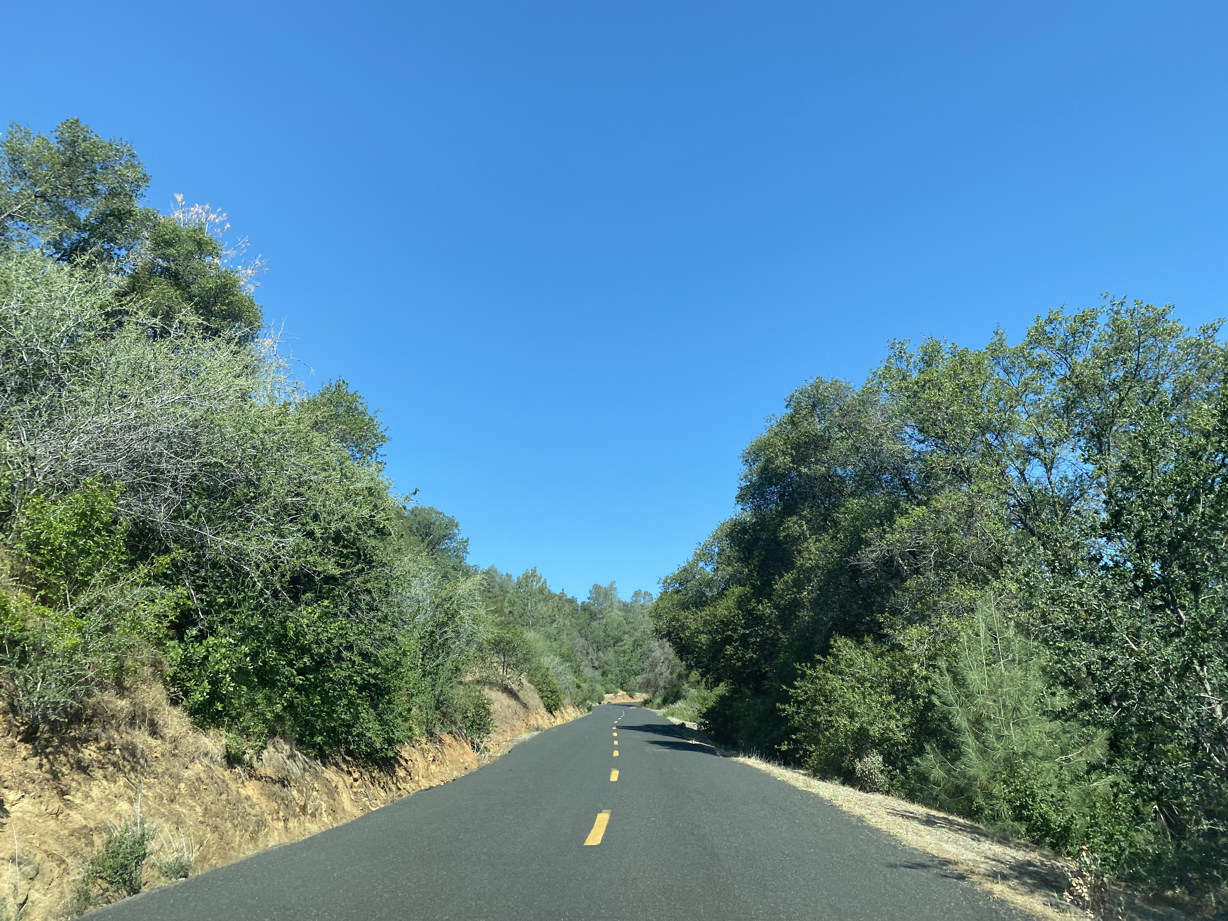
Priest-Coulterville Road north from County Route J132 to the Tuolumne County line is largely a single paved lane.  


Upon reaching the Tuolumne County line, Priest-Coulterville Road expands to two-lanes and begins to follow the course of Moccasin Creek.  


Priest-Coulterville Road climbs from Moccasin Creek via a ridge to a northern terminus at California State Route 120 atop the Priest Grades at Priest Station.  


Priest Station lies at approximately 2,530 feet above sea level.  As noted in Part 1 what is now Priest Station was established in 1849 as a mining supply store.  In 1853 said mining store was sold to Margaret and Alexander Kirkwood.  Alexander Kirkwood would die several years later, and Margaret would marry the first Yosemite National Park Commissioner W.M. Priest.  The Priests would build at stage station and a hotel at their property which became popular with travelers to Yosemite National Park.  The Priest Hotel would burn during 1926 as New Priest Grade Road was being modernized to State Highway standards.  The current Priest Station Cafe opened during August 2009.  


Comments

Popular posts from this blog

Grand Loop Road of Yellowstone National Park

  Grand Loop Road is a 140 mile loop highway which traverses the interior of Yellowstone National Park.  Grand Loop Road connects all of the major attractions and geological features of Yellowstone National Park along with the entrance roads.  Grand Loop Road is a seasonal highway and despite some conjecture never has been part of the US Route System.   Part 1; the history of Grand Loop Road The majority of history pertaining to Grand Loop Road was taken from the below National Park Service article: Historic Roads - Yellowstone National Park (U.S. National Park Service) (nps.gov) Yellowstone was declared the first National Park of the United States on March 1st, 1872.  The first real highway to access Yellowstone National Park came in 1873 when a tolled facility was constructed from Bozeman, Montana via Yankee Jim Canyon to Mammoth Hot Springs.  Numerous attempts were made to fund construction of roadway infrastructure during the early years of Yellows...

The last 1956-63 era California Sign State Route Spade?

Along southbound California State Route 170 (the Hollywood Freeway Extension) approaching the Hollywood Freeway/Ventura Freeway interchange a white California State Route 134 Sign State Route Spade can be observed on guide sign.  These white spades were specifically used during the 1956-63 era and have become increasingly rare.  This blog is intended to serve as a brief history of the Sign State Route Spade.  We also ask you as the reader, is this last 1956-63 era Sign State Route Spade or do you know of others?  Part 1; the history of the California Sign State Route Spade Prior to the Sign State Route System, the US Route System and the Auto Trails were the only highways in California signed with reassurance markers.  The creation of the US Route System by the American Association of State Highway Officials during November 1926 brought a system of standardized reassurance shields to major highways in California.  Early efforts to create a Sign State Route ...

California State Route 70; the Feather River Highway

From 2017 through to early 2019 I drove the majority of the California State Route 70; the Feather River Highway from CA 89 southwest to CA 99. CA 70 is an approximately 178.5 mile state highway which starts at US 395 near the Nevada State Line and travels west through the Feather River Canyon to CA 99.  CA 70 is often referred to as the Feather River Highway" given it's close association with the river.  Historically CA 70 was previously signed as US 40A and CA 24.  The Legislative Routes prior to the 1964 California Highway Renumbering that made up the current route of CA 70 are as follows: -  Legislative Route Number 21 from US 395 westward to Oroville. -  LRN 87 from Oroville south to Marysville. -  LRN 232 from Marysville to the current junction with CA 99.  CA 70 was even dual signed with CA 99 into Sacramento on what was LRN 232 for a time. The change from US 40A/LRN 21/LRN 87/LRN 232 can be seen by comparing the 1963 State Highway Ma...