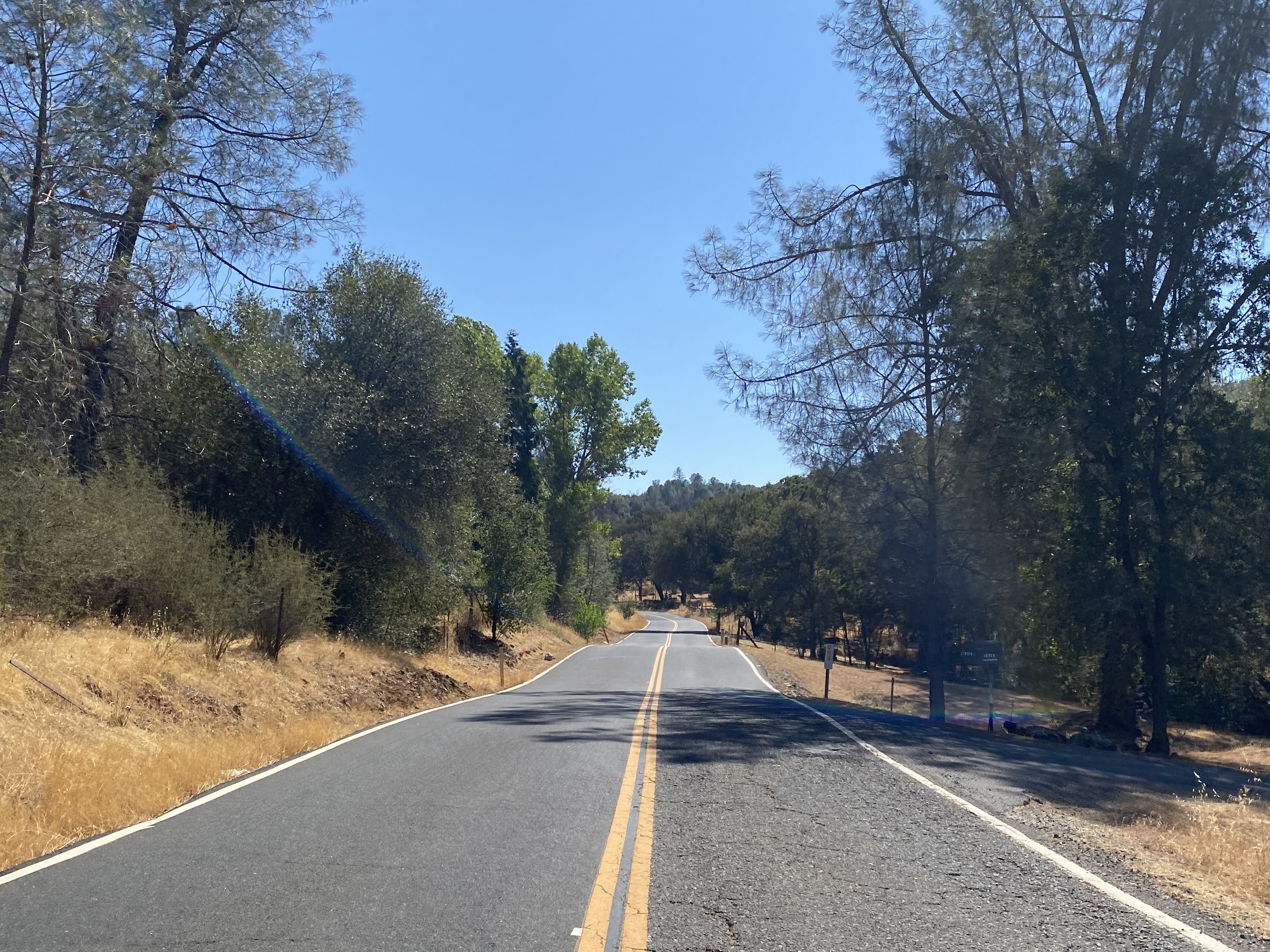
Pool Station Road


Pool Station Road is 12.6-mile rural highway located in the Sierra Nevada foothills of Calaveras County.  The corridor connects from California State Route 49 near downtown San Andreas south to California State Route 4 near Copperopolis.  

Pool Station Road is named after a stage station which was located on Reeds Turnpike (now California State Route 4) between Copperopolis and Altaville.  The corridor was developed during the 1920s to permit highway access to the Calaveras Cement plant.  Despite being located in the Sierra Nevada foothills much of Pool Station Road is winding and features numerous large dips in terrain.  


Part 1; the history of Pool Station Road

The name of Pool Station Road is a reference to Pool Station.  Pool Station was located along the Goldrush era Reeds Turnpike between Copperopolis and Altaville (now part of Angels Camp).  The station was located approximately where Pool Station Road has a southern terminus at California State Route 4.

Pool Station Road is a modern highway corridor which was meant to facilitate access to the Calaveras Cement plant.  Calaveras Cement incorporated in 1925 and was based out of a plant located on Pool Station Road.  The company is most well-known for supplying cement to the construction site of Pardee Dam.  

Pool Station Road can be seen connecting from California State Route 49 in downtown San Andreas and extending south California State Route 4 near Copperopolis on the 1935 Division of Highways map of Calaveras County.  Part of early Pool Station Road is shown along what is now Church Hill Road in San Andreas. 


Calaveras Cement would construct a 5.5-mile short line railroad from their plant to quarries located east of Calaveritas.  This short line railroad would be converted into private road usage during the 1990s and now known as cement plant road. 

Calaveras Cement would be sold in 1959 and again in 1979.  The company would be shuttered in 1983 due to being unable to compete with foreign cement prices and a high cost to modernize their plant.  Despite the shuttering of Calaveras Cement the road to the quarry remains private and inaccessible to the public. 


Part 2; a drive on Pool Station Road

Modern Pool Station Road begins at California State Route 49 north of downtown San Andreas. 


Southbound Pool Station Road intersects Cement Plant Road approximately one mile south of California State Route 49.  The ruins the Calaveras Cement Plant can be found west of the intersection.  


Pool Station Road crosses San Antonio Creek.


Pool Station Road becomes a winding mountain road and continues south to a bridge over South Fork Calaveras River.  


The remaining balance of Pool Station Road south of the South Fork Calaveras River is a winding mountain road which features numerous dips and fast curves.  The roadway ends at California State Route 4 near Copperopolis.  


Comments

Popular posts from this blog

Grand Loop Road of Yellowstone National Park

  Grand Loop Road is a 140 mile loop highway which traverses the interior of Yellowstone National Park.  Grand Loop Road connects all of the major attractions and geological features of Yellowstone National Park along with the entrance roads.  Grand Loop Road is a seasonal highway and despite some conjecture never has been part of the US Route System.   Part 1; the history of Grand Loop Road The majority of history pertaining to Grand Loop Road was taken from the below National Park Service article: Historic Roads - Yellowstone National Park (U.S. National Park Service) (nps.gov) Yellowstone was declared the first National Park of the United States on March 1st, 1872.  The first real highway to access Yellowstone National Park came in 1873 when a tolled facility was constructed from Bozeman, Montana via Yankee Jim Canyon to Mammoth Hot Springs.  Numerous attempts were made to fund construction of roadway infrastructure during the early years of Yellows...

The last 1956-63 era California Sign State Route Spade?

Along southbound California State Route 170 (the Hollywood Freeway Extension) approaching the Hollywood Freeway/Ventura Freeway interchange a white California State Route 134 Sign State Route Spade can be observed on guide sign.  These white spades were specifically used during the 1956-63 era and have become increasingly rare.  This blog is intended to serve as a brief history of the Sign State Route Spade.  We also ask you as the reader, is this last 1956-63 era Sign State Route Spade or do you know of others?  Part 1; the history of the California Sign State Route Spade Prior to the Sign State Route System, the US Route System and the Auto Trails were the only highways in California signed with reassurance markers.  The creation of the US Route System by the American Association of State Highway Officials during November 1926 brought a system of standardized reassurance shields to major highways in California.  Early efforts to create a Sign State Route ...

California State Route 70; the Feather River Highway

From 2017 through to early 2019 I drove the majority of the California State Route 70; the Feather River Highway from CA 89 southwest to CA 99. CA 70 is an approximately 178.5 mile state highway which starts at US 395 near the Nevada State Line and travels west through the Feather River Canyon to CA 99.  CA 70 is often referred to as the Feather River Highway" given it's close association with the river.  Historically CA 70 was previously signed as US 40A and CA 24.  The Legislative Routes prior to the 1964 California Highway Renumbering that made up the current route of CA 70 are as follows: -  Legislative Route Number 21 from US 395 westward to Oroville. -  LRN 87 from Oroville south to Marysville. -  LRN 232 from Marysville to the current junction with CA 99.  CA 70 was even dual signed with CA 99 into Sacramento on what was LRN 232 for a time. The change from US 40A/LRN 21/LRN 87/LRN 232 can be seen by comparing the 1963 State Highway Ma...