
County Route E16 is a rural highway found in the Sierra Nevada range of El Dorado County and Amador County. This highway is 33.21 miles long and was designated in 1967 between California State Route 49 in Plymouth east to US Route 50 in Pollock Pines. The corridor functionally acts as a continuation of California State Route 16 east of the Plymouth area. The portion north of Mormon Emigrant Trail is part of US Route 50 Alternate. This alternate route was commissioned during the winter of 1997/1998 following slide closures on mainline US Route 50.

Part 1; the history of County Route E16
Modern County Route E16 is comprised of what is now Shenandoah Road, Mount Aukum Road and Sly Park Road. The portion of County Route E16 on Sly Park Road north of Jenkinson Lake has connections to the Gold Rush era of California. The corridor is roughly aligned over what was the westernmost segment of the Morman Emigrant Trail over Carson Pass which terminated at the Lake Tahoe Wagon Road via Gold Ridge near Pollock Pines.
Carson Pass was explored during the 1844 Fremont Expedition. The route was suggested by Kit Carson to reach Sutter's Fort west from what is now Carson Valley, Nevada. Kit Carson had learned of the pass from Washoe tribe who warned against using it as a winter route. Despite the warnings the expedition crossed the Sierra Nevada and is thought to have been first instance where people of European descent observed Lake Tahoe. The expedition managed to cross to Sutter's Fort with no fatalities despite the winter conditions.
Carson Pass following the 1844 Fremont Expedition would become well known as a good crossing over the Sierra Nevada. During 1848 Mormon settlers departing California for Utah would construct a roadway originating from the Sly Park area east to Carson Valley via Carson Pass. Much of the original routing used by the Mormons from Sly Park to Carson Pass in modern times still bears the name "Morman Emigrant Trail."
The Morman Emigrant Trail can be seen originating at the Lake Tahoe Wagon Road near what is now Pollock Pines (shown as Sportsmans) on the 1873 Bancroft's Map of California.

The western segment of the Mormon Emigrant Road can be seen in detail on the 1891 United States Geological Survey map of Placerville. Said road is seen departing the Lake Tahoe Wagon Road eastbound at Forty Mile House (Pollock Pines). The corridor is shown following modern Sly Park Road for a couple miles before dipping through what is now Jenkinson Lake to Sly Park House via Carpenters.

The same map displays the other segments of highway now comprising County Route E16. Sly Park Road is seen connecting west from the namesake House to the community of Pleasant Valley.

South of Pleasant Valley the map also displays modern Mount Aukum Road crossing the branches of the Consumes River to the vicinity of Bridgeport at the South Fork.


From the Bridgeport area a roadway through Shenandoah Valley (Shenandoah Road) is seen connecting to Plymouth via Prospect Hill.

The roadways comprising modern County Route E16 are shown in detail on the 1935 Division of Highways maps of El Dorado County and Amador County. Sly Park Road is shown on the El Dorado County map as a minor highway connecting US Route 50 south to Pleasant Valley. Mount Aukum Road is shown as a major highway south to the Amador County line at the South Fork Consumes River.

Shenandoah Road is shown as a major highway to California State Route 49 in Plymouth on the Amador County map.

During 1955 the Jenkinson Lake reservoir would begin to flood. The then new reservoir flooded a portion of Sly Park Road which was part of the Morman Emigrant Trail.
El Dorado County Route E16 was designated in 1967 as a 33.21-mile highway between California State Route 49 in Plymouth northeast to US Route 50 at Pollock Pines. The highway from Plymouth follows Shenandoah Road, Mount Aukum Road and Sly Park Road. It is unclear if the designation of "E16" is coincidentally as the highway functionally acts as an extension of California State Route 16 and cuts off the Placerville area.
County Route E16 can be seen below as mapped by cahighways.org.
During the winter of 1997/1998 large slides closed US Route 50 over Echo Summit. US Route 50 Alternate was commissioned following Sly Park Road on County Route E16, Mormon Emigrant Trail, California State Route 88 and California State Route 89. The designation despite being signed as an alternative it is intended to be used only during emergencies on mainline US Route 50.
Caltrans never sought a formal designation of US Route 50 Alternate from the American Association of State Highway Transportation Officials nor assumed maintenance of new roadway segments. Morman Emigrant Trail was repaved and had Postmile paddles affixed with "Route 50A" references to aid the California Highway Patrol. There is no clear evidence that US Route 50 Alternate signage still exists on Sly Park Road.
US Route 50 Alternate signage still exists on Mormon Emigrant Trail. The below photo was taken by Josh Schmid during July 2022.

Part 2; a drive on County Route E16
Westbound County Route E16 begins in El Dorado County at US Route 50 Exit 60 near Pollock Pines. From the exit the County Route begins along Sly Park Road.


Westbound County Route E16 follows a winding grade through the Sly Park area and intersects Morman Emigrant Trail at Jenkinson Lake. The Jenkinson Lake reservoir is primarily fed by Sly Creek. A highway sign references California State Route 88 being 24 miles away via eastbound Mormon Emigrant Trail.


County Route E16 continues on Sly Park Road into Pleasant Valley. Upon reaching Pleasant Valley the westbound highway makes a left turn at Mount Aukum Road. Pleasant Valley would largely develop into a community by the early 1860s and obtain Post Office Service in 1864. Despite the Postal Service being shuttered in 1917 the community has developed numerous amenities such as modern retail buildings.


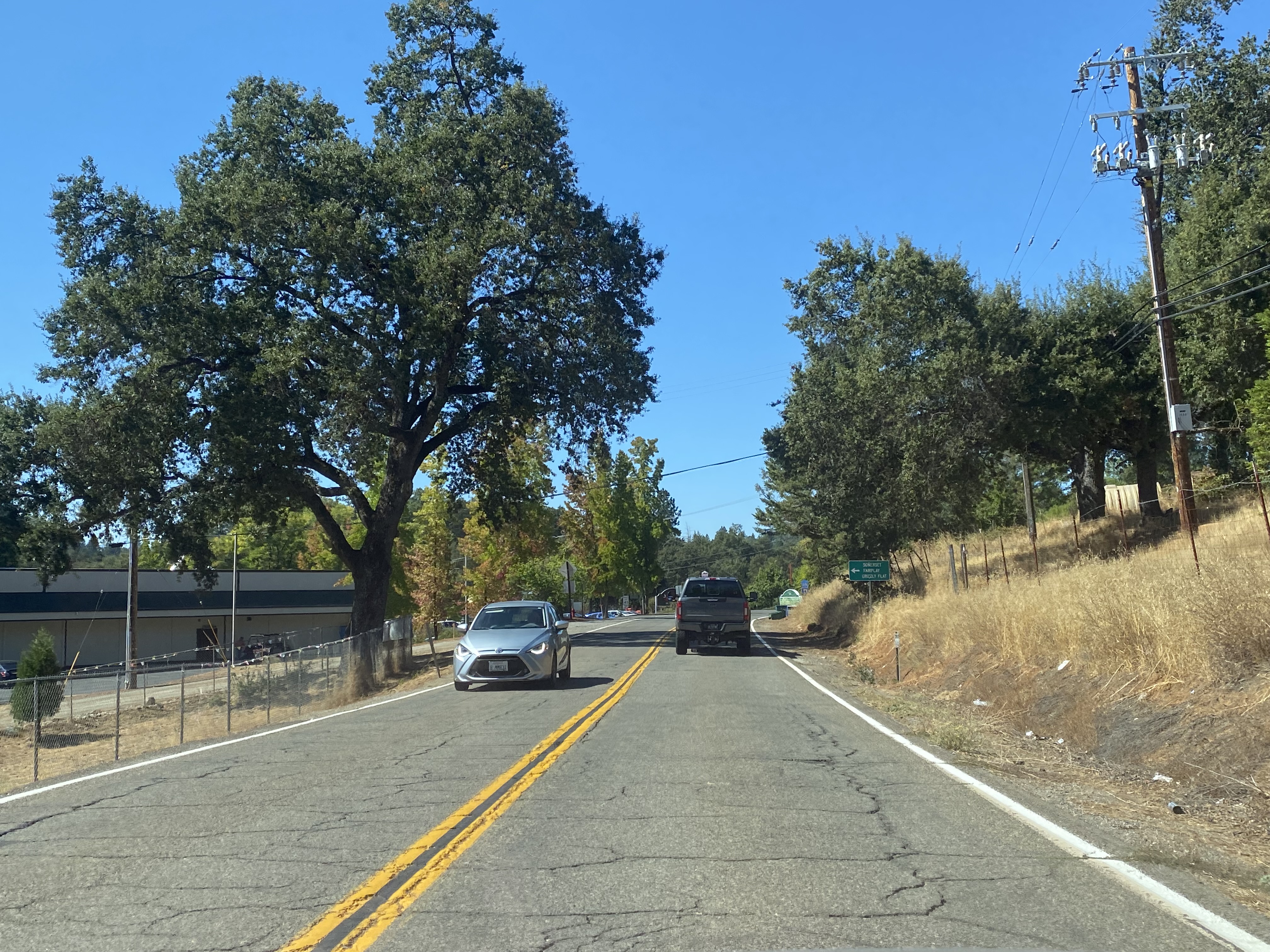

Westbound County Route E16 follows a 7% descent via Mount Aukum Road to the North Fork Consumes River.

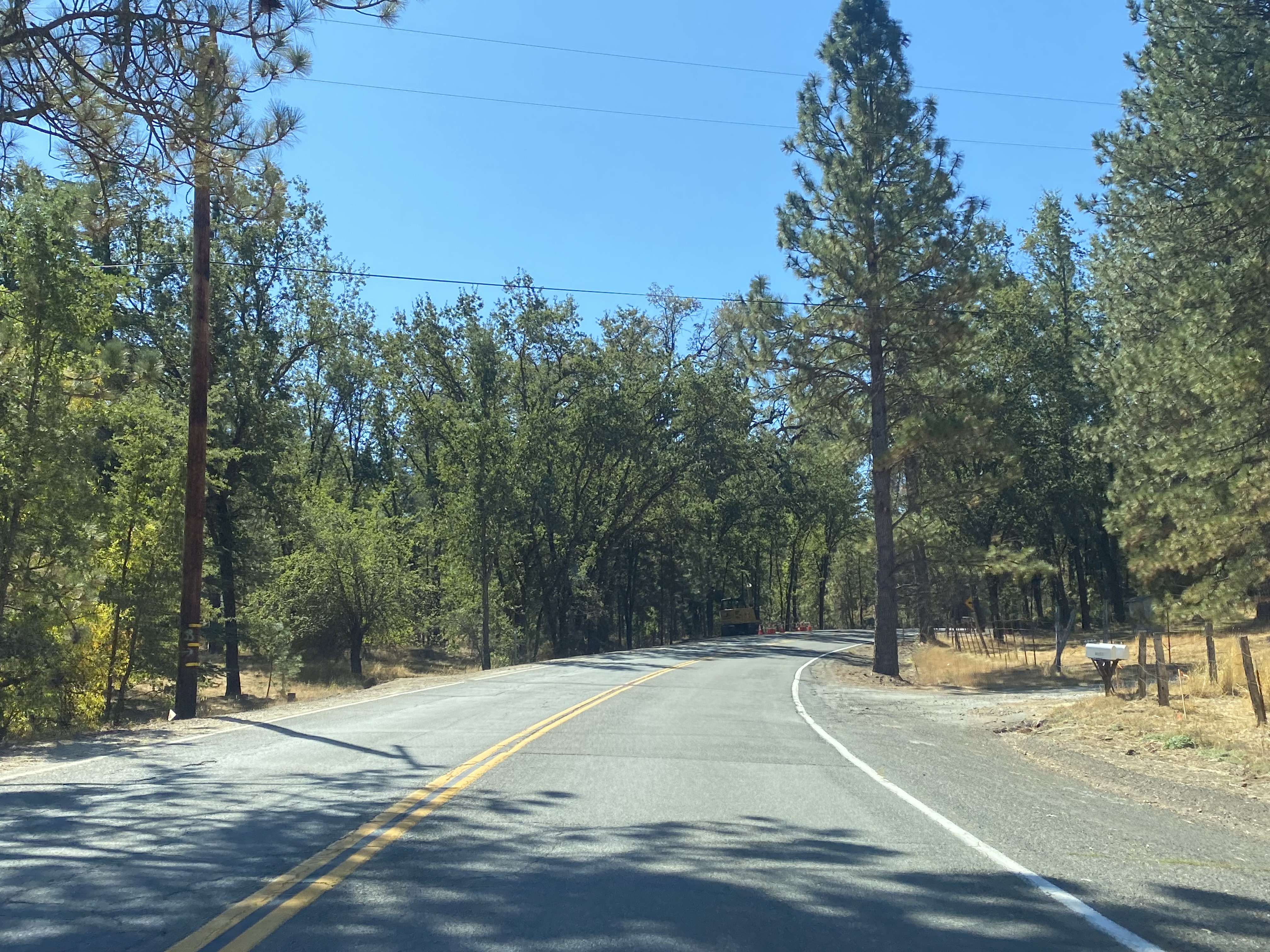


County Route E16 and Mount Aukum Road pass through the community of Somerset at Bucks Bar Road. The community was named by settlers who originated from Somerset, Ohio.


County Route E16 southwest of Somerset crosses the Middle Fork Consumes River. An older arch concrete span can be found to the east of the modern bridge. This older concrete span was constructed in 1936 (courtesy Leif Wilson).


County Route E16 passes through the community of Mount Aukum and enters Amador County at the South Fork Consumes River. Post Office service in Mount Aukum opened in 1895 and shuttered for a final time in 1960.


County Route E16 upon entering Amador County transitions onto Shenandoah Road in the community of River Pines. The River Pines community was plotted during the 1920s as a vacation destination and subdivided in 1926.


County Route E16 west of River Pines follows Shenandoah Road through the namesake Shenandoah Valley to California State Route 49 in Plymouth. Shenandoah Valley has a well-established wine industry which is a rarity in the Sierra Nevada foothills.


Plymouth originated in 1850s and is mostly known for a winery that dates back to 1856. Post Office service was established in 1871, and the community would incorporate in 1917. These photos are from Main Street looking west.


Comments