
Madera County Road 603 is an approximately nine-mile rural highway located in the Sierra Nevada foothills. The corridor was previously known as Daulton Road and passes the former Raymond Branch Railroad siding of Daulton. Much of early Daulton Road serviced the numerous copper mines of Daulton Ranch between modern Roads 29 and 600. The corridor was extended east to Road 400 as part of the construction of Hidden Dam and the Hensley Lake reservoir in 1974.

Part 1; the history of Madera County Road 603
Historically Madera County Road 603 was known as Daulton Road. Daulton Ranch was the locale of numerous mines which began being worked in the 1860s. These mines were operated by the California Copper Company.
During 1886 Daulton siding would be established along the Raymond Branch of the Southern Pacific Railroad. The siding name "Daulton" is a reference to Henry C. Daulton who granted an easement through his ranch for the Raymond Branch to be constructed. Henry C. Daulton was also part of the commission which led to split of Madera County from northern Fresno County in 1893. The Raymond Branch would see a major realignment of the Yosemite Stage Road which brought the southern terminus to nearby Raymond. Daulton would be served by a Post Office from 1899 to 1908.
Daulton can be seen on the Raymond Branch (shown as Yosemite Division) on the 1891 Thompson map of Fresno County.

Daulton can be seen in detail on the 1912 United States Geological Survey map of Mariposa. The Daulton townsite can be seen along the Raymond Branch roughly where modern Madera County Roads 603 and Road 602 intersect. An earlier alignment of Daulton Road can be seen originating at Raymond Road. Daulton Road can be seen running west through Daulton Ranch and nearby Daulton.

Daulton Road can be seen running west of Daulton to approximately where Madera County Road 29 and Avenue 26 now meet on the 1919 United States Geological Survey map of Raynor Creek.

Daulton Road appears straightened to modern standards on the 1935 Division of Highways map of Madera County. The roadway is shown spanning from what is modern Madera County Road 29 east through Daulton to Raymond Road. Ultimately the Raymond Branch northeast of Daulton would be abandoned and removed by 1946. The remainder of the branch railroad south of Daulton would be removed by 1956.

During the mid-twentieth century Madera County would drop their name conventions for roads and replace them with numeric designations. Daulton Road can be seen renamed as Road 603 on the 1962 United States Geological Map of Daulton.

During 1974 the U.S. Army Corps of Engineers completed Hidden Dam along the Fresno River. Madera County Road 603 was extended east of Road 600 (formerly Raymond Road) over the Fresno River below the dam to Road 400 (formerly River Road). The eastern extension of Road 603 can be seen on the 1980 United States Geological Survey map of Shaver Lake.

Part 2; a drive on Madera County Road 603
Eastbound Madera County Road 603 begins abruptly via a sharp left hand turn from Road 29. Road 29 continues ahead southward as a dirt highway.


Road 603 eastbound ascends numerous hills common to the Sierra Nevada foothills of Madera County and passes the site of Daulton near Road 602. Daulton is easy to identify due to the few remaining buildings and the prevalent foliage. Traffic approaching the Road 603/Road 602 junction is advised Hensley Lake is 5 miles away continuing east.


Road 603 continues east of Daulton to Road 600. Traffic wishing to access Hensley Lake is directed to stay on Road 603 eastbound.
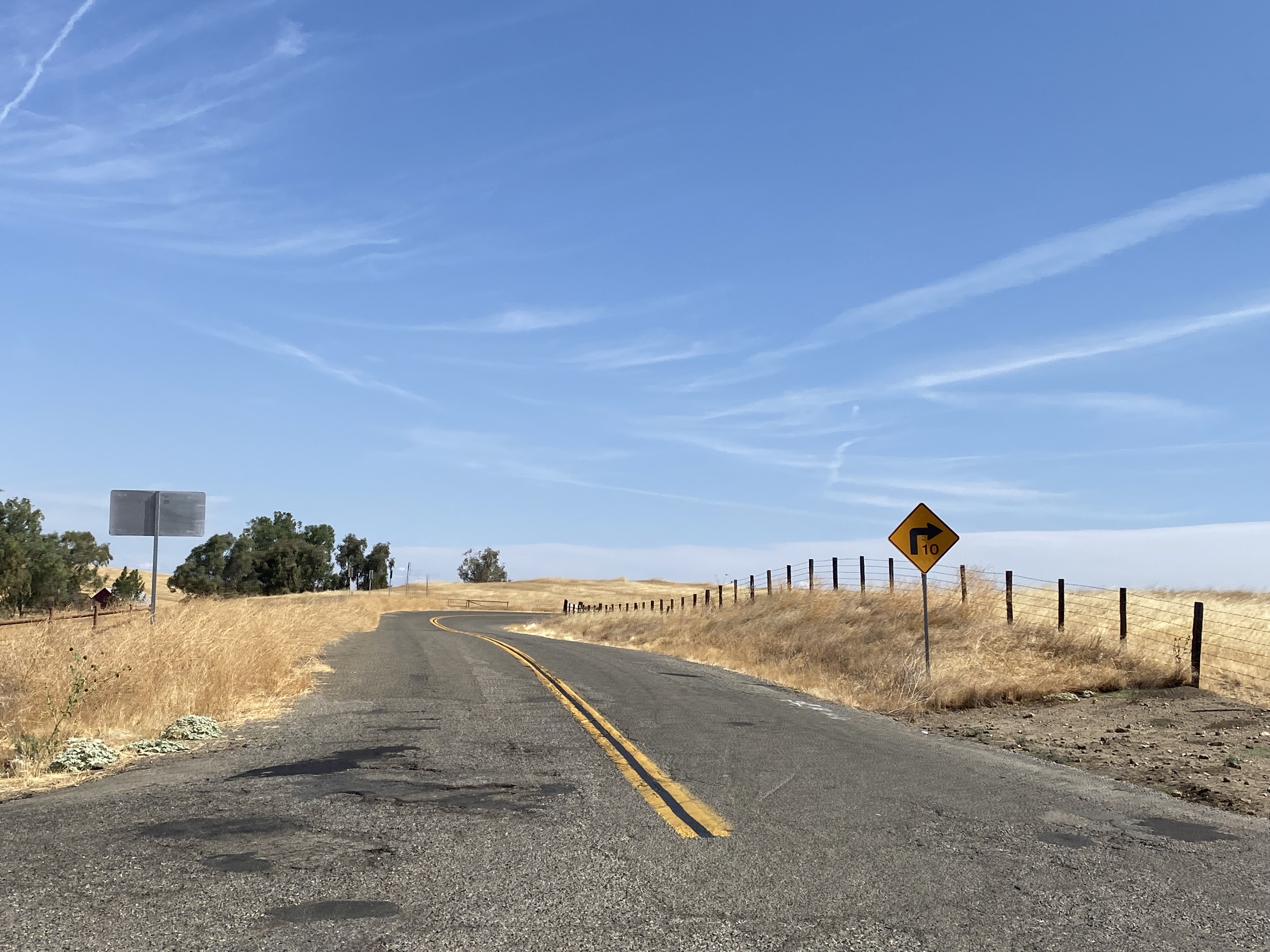


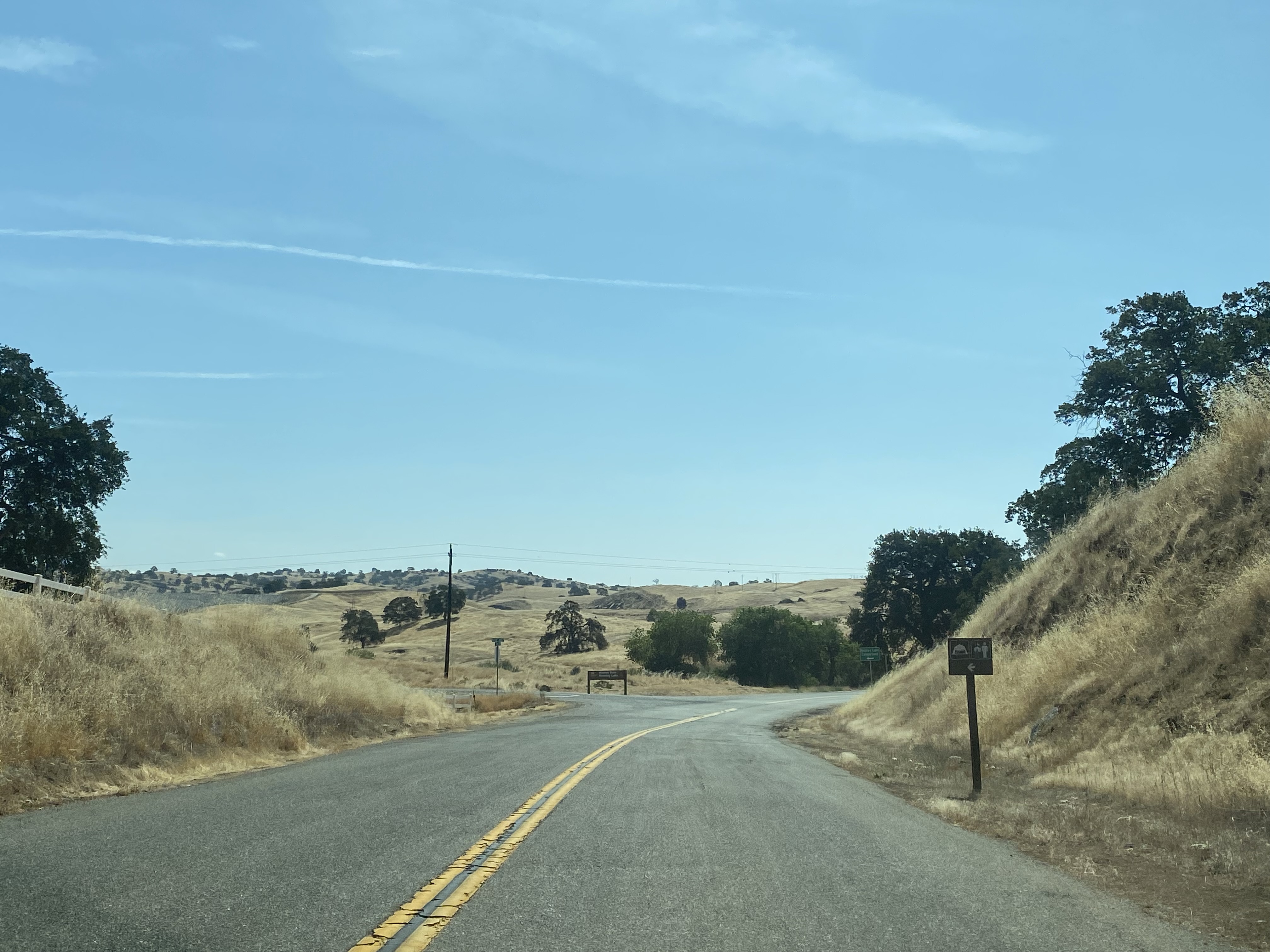
Road 603 continues east and crosses the Fresno River below Hidden Dam. The highway ends at Road 400 at the outskirts of the Hensley Lake Recreation Area.




Comments