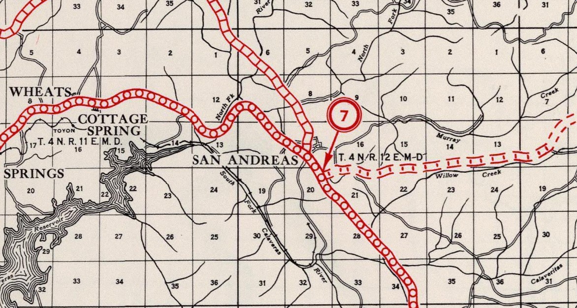
San Andreas is one of classic communities of the western Sierra Nevada Mountains and is the present Calaveras County seat. San Andreas is traversed by California State Route 49 which is known as the Golden Chain Highway. Modern California State Route 49 currently passes through San Andreas via a bypass of downtown on Charles Street. Prior to the current bypass alignment being constructed California State Route 49 passed through San Andreas via Main Street and Gold Strike Road. The difference between the modern alignment California State Route 49 and the original can be seen on this map illustration below.
Part 1; the history of California State Route 49 in San Andreas
San Andreas was founded by Mexican Miners during 1848 and was named after Andrew the Apostle. San Andreas was initially largely based around placer claims which were quickly exhausted during the early California Gold Rush. A large gold vein was discovered in an underground stream during 1853 which led to San Andreas being formally plotted as a town and spurred a mining boom. Post Office service in San Andreas began in 1854 and has not shuttered since. The mining boom in San Andreas was so substantial that the town was rebuilt after fires in 1858 and 1863. San Andreas became the Calaveras County seat in 1866 and has retained it to modern times despite not being an incorporated city.
San Andreas can be seen during the prime of the community on the 1873 Bancroft's Map of California, Nevada, Utah and Arizona.
State Highway service in San Andreas began with the 1909 First State Highway Bond Act. The 1909 First State Highway Bond Act was approved by voters during 1910 and defined what would become
Legislative Route Number 24 (LRN 24). The original definition of LRN 24 had San Andreas as the eastern route terminus with the highway originating at LRN 4 in Lodi.
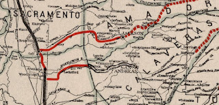
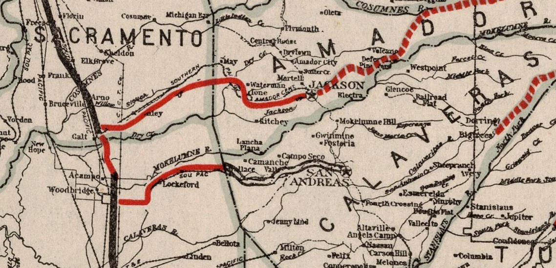
The western segment of LRN 24 can be seen terminating at San Andreas on the
1918 California Highway Commission Map. An eastern segment of LRN 24 was added to by 1911 Legislative Chapter 468 which annexed the Big Trees Toll Road over Ebbetts Pass into the State Highway System.


A second highway in San Andreas was added to the State Highway System as part of 1921 Legislative Chapter 839 which defined what would become
LRN 65. LRN 65 passed north/south through San Andreas and originally carried the following definition:
"All that portion of the public highway commencing at Auburn in Placer County through Placerville, Jackson, San Andreas and Angels to and connecting with the state highway lateral at Sonoma, Tuolumne county is hereby... declared to be a state highway... highway shall be known as the "Mother Lode Highway"."
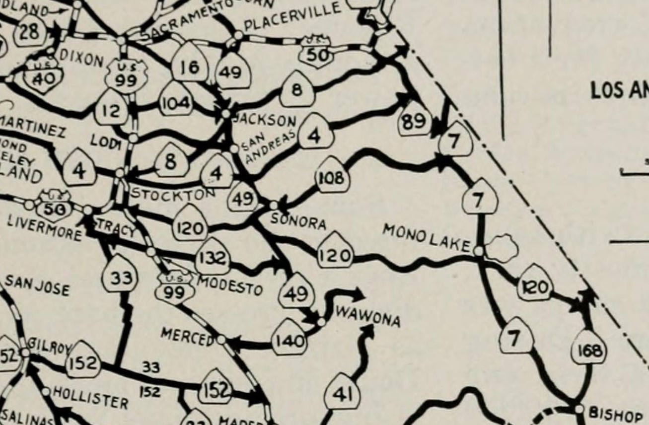
The initial Sign State Routes were announced in the
August 1934 California Highways & Public Works. California State Route 12 and California State Route 49 were added as two Sign Routes directly serving San Andreas. California State Route 12 terminated in San Andreas via the western segment of LRN 24 at California State Route 49/LRN 65 located at the intersection of Charles Street at Main Street. California State Route 49 followed LRN 65 through San Andreas via southern Charles Street, Main Street and Gold Strike Road.
The
January/February 1953 California Highways & Public Works features the new North Fork Calaveras River Bridge on California State Route 49/LRN 65 north of San Andreas. The North Fork Calaveras River Bridge is noted to have been built during 1952, the structure is now part of Gold Strike Road.
The
November/December 1962 California Highways & Public Works announced a 1963-64 Fiscal Year rebuilding of California State Route 49/LRN 65 over a 6.5-mile project zone between San Andreas and Mokelumne Hill. The project zone included a new structure over the North Fork Calaveras River which would allow California State Route 49/LRN 65 to bypass downtown San Andreas.
The
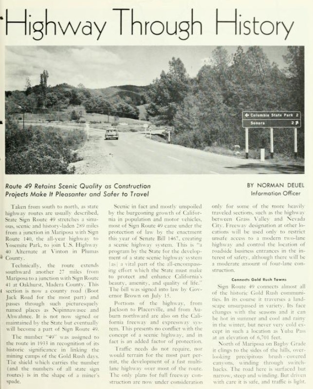
July/August 1963 California Highways & Public Works references the new bypass alignment of California State Route 49/LRN 65 in San Andreas as being in the process of construction. Main Street in downtown San Andreas is referenced as being an infamous chock point on California State Route 49/LRN 65.
As part of the 1964 State Highway Renumbering the Legislative Route Numbers were dropped in favor of Sign State Route signage. Thusly, California State Route 49 and California State Route 12 were assigned as the new Legislative Routes for the State Highways through San Andreas.
Part 2; exploring the original alignment of California State Route 49 in San Andreas
Modern California State Route 49 northbound intersects the original alignment in downtown San Andreas at Charles Street and Main Street. California State Route 49 originally made a right hand turn onto Main Street whereas westbound California State Route 12 originally began continuing on Charles Street. Signage on modern California State Route 49 approaching Main Street indicates it is Historic California State Route 49.
Former California State Route 49 on Main Street has been converted to northbound-only traffic due to it being narrow and carrying steep gradient. Southbound traffic is forced to detour off of Main Street onto Court Street to reach modern California State Route 49.
Below is the historic plaque regarding the history of San Andreas which can be found at the southwest corner of Main Street and Charles Street.
From modern California State Route 49 southbound signage approaching Gold Strike Road indicates it is Historic California State Route 49. California State Route 49 is the only Sign State Route in California with formally signed Historic corridors. Other Historic California State Route 49 corridors can be found in Mokelumne Hill, Sutter Creek and Amador City.
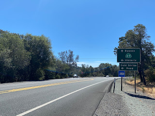
Below Historic California State Route 49 southbound faces towards Main Street in San Andreas. The 1914 San Andreas Creek Bridge can be seen in the foreground.
A southward facing view up the steep climb of Main Street in downtown San Andreas.










Comments