Picking back up from Part 5; I had just left Needles on US 95/I-40. I followed I-40 west of the US 95 junction, I continued west until I split away from the Interstate at Exit 107. I hadn't been to the Mojave section of US 66 since 2012 and I wasn't going to pass up the opportunity to revisit on a cross-country trip.

I don't intend this to be anything more than me gushing over returning an old abandoned highway that I've always enjoyed. For a full historical analysis of the Mojave section of US 66 in California I would suggest reading this previous blog.
US 66 (Cajon Pass to the Arizona State Line)
Pulling off on exit 107 afforded a unique view of the oversized "GAS" sign to the north of I-40 in Fenner. Fenner really isn't much anything more than an RV and truck parking lot.

I really thought the CR 66 shields would have been stolen after so much time had passed since 2012.

Back in 2012 there was a glut of pit bulls running around the abandoned buildings in Essex. In early 2016 they all had pretty much disappeared much like all the people did in the previous couple decades.
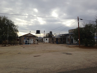


Danby in particular had a large number of guard dogs when I visited previously. It would seem that back around 2012 there was some concern the part of the property owners that people would attempt to vandalize their buildings. Much like Essex there was no signs of life by 2016.


Cadiz Summit seemed to have weathered the previous four years largely untouched. Roamin Rich's US 66 stencil on the Cadiz Summit garage was still present, the only new addition was an abandoned lounge chair.


Chambless and Road Runners Retreat appeared just as I remembered them.


There was a new addition in Amboy; all normal grades of unleaded octane at Roy's were for sale whereas all I remember being sold was 87 octane. One sad omission was that Roy's was no longer selling Route 66 Root Beer. I believe that I bought a sugar cane Coke at Roy's before continuing west.


The Amboy Crater had a new paved road going to it south from US 66.

The Bagdad Tree at the Bagdad town site was still alive and present.

The last standing wall in Siberia still hadn't fallen by 2016 and I'm to understand is still around as of this year.

Previously I never had taken all that many photos of Ludlow. I feel like I had a missed opportunity on the 2016 trip by not checking out Main Street up close.


I rejoined I-40 from Ludlow and took it west to I-15. I stayed on I-15 briefly and joined CA 58 westbound where I encountered the early stages of the Hinkley Bypass project.

Really from here on out it was pretty standard fair reaching San Joaquin Valley where I took an eventual northward turn on CA 99 north to reach the Fresno area. In retrospect I'm really disappointed that I didn't get to revisit US 60 in Arizona to see the old Queen Creek Tunnel. This was a trip of necessity more than anything else that ended up having some really solid fun drives like a small section of US 66 in the desert and US 180/62 in Texas.


I don't intend this to be anything more than me gushing over returning an old abandoned highway that I've always enjoyed. For a full historical analysis of the Mojave section of US 66 in California I would suggest reading this previous blog.
US 66 (Cajon Pass to the Arizona State Line)
Pulling off on exit 107 afforded a unique view of the oversized "GAS" sign to the north of I-40 in Fenner. Fenner really isn't much anything more than an RV and truck parking lot.

I really thought the CR 66 shields would have been stolen after so much time had passed since 2012.

Back in 2012 there was a glut of pit bulls running around the abandoned buildings in Essex. In early 2016 they all had pretty much disappeared much like all the people did in the previous couple decades.
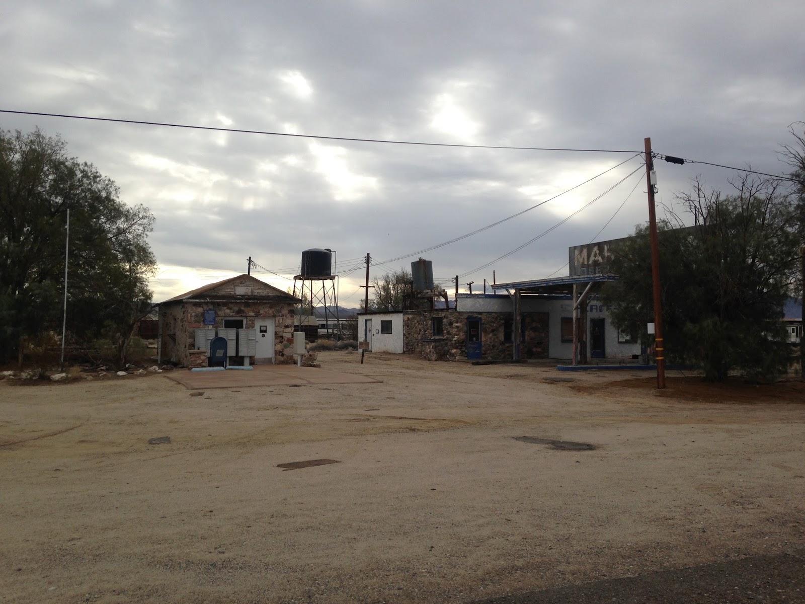


Danby in particular had a large number of guard dogs when I visited previously. It would seem that back around 2012 there was some concern the part of the property owners that people would attempt to vandalize their buildings. Much like Essex there was no signs of life by 2016.


Cadiz Summit seemed to have weathered the previous four years largely untouched. Roamin Rich's US 66 stencil on the Cadiz Summit garage was still present, the only new addition was an abandoned lounge chair.


Chambless and Road Runners Retreat appeared just as I remembered them.


There was a new addition in Amboy; all normal grades of unleaded octane at Roy's were for sale whereas all I remember being sold was 87 octane. One sad omission was that Roy's was no longer selling Route 66 Root Beer. I believe that I bought a sugar cane Coke at Roy's before continuing west.


The Amboy Crater had a new paved road going to it south from US 66.

The Bagdad Tree at the Bagdad town site was still alive and present.

The last standing wall in Siberia still hadn't fallen by 2016 and I'm to understand is still around as of this year.

Previously I never had taken all that many photos of Ludlow. I feel like I had a missed opportunity on the 2016 trip by not checking out Main Street up close.


I rejoined I-40 from Ludlow and took it west to I-15. I stayed on I-15 briefly and joined CA 58 westbound where I encountered the early stages of the Hinkley Bypass project.

Really from here on out it was pretty standard fair reaching San Joaquin Valley where I took an eventual northward turn on CA 99 north to reach the Fresno area. In retrospect I'm really disappointed that I didn't get to revisit US 60 in Arizona to see the old Queen Creek Tunnel. This was a trip of necessity more than anything else that ended up having some really solid fun drives like a small section of US 66 in the desert and US 180/62 in Texas.

Comments