
Madera County Road 201 (the former Millerton-Fresno Flats Road through O'Neals)


Madera County Road 201 is an approximately one third mile long roadway which passes the heart of the mountain community of O'Neals.  The corridor was part of the nineteenth century Millerton-Fresno Flats Road which served the mines and logging mills which now comprise the Sierra Nevada foothills of Madera County.  During the automotive era the highway would be designated as North Fork Road and later Road 200.  Road 200 was realigned onto a bypass of O'Neals during the early 1980s which led to original highway being renumbered as Road 201.  


Part 1; the history of the Millerton-Fresno Flats Road through O'Neals

O'Neals is located several miles south of the former mining town of Fine Gold along the Millerton-Fresno Flats Road.  Mining claims were staked at Fine Gold during the Mariposa War during 1850. The community was never very large but became a stopping point on the stage road between the original Fresno County seat at Millerton and Fresno Flats (now Oakhurst). The stage road eventually bypassed Millerton when the Fresno County seat was moved to Fresno in 1874.

The Fine Gold Post Office can be seen on the Fresno-Fresno Flats Road on the 1882 Bancroft's Map of California. Post Office Service would be relocated to nearby O'Neals in 1887. O'Neals was located at a more opportune location on the Fresno-Fresno Flats Road as it connected to two nearby spur roads to the Fresno-Yosemite Road. The southern spur connected to Bates Station whereas the north spur permitted access to nearby Coarsegold. The community had been founded by local merchant Charles O'Neals who also was the first Postmaster. Charles O'Neals established his store on land holding he had purchased in 1878. During 1893 Madera County would be formed from what was Fresno County north of the San Joaquin River.


O'Neals can be seen along the Fresno-Oakhurst Road (formerly Fresno Flats) on the 1912 United Geological Survey Map of Mariposa.  The highway north of O'Neals would come to be known as "North Fork Road" during the early automotive era and eventually would be renamed as "Road 200" when Madera County assumed the numeric grid convention.  


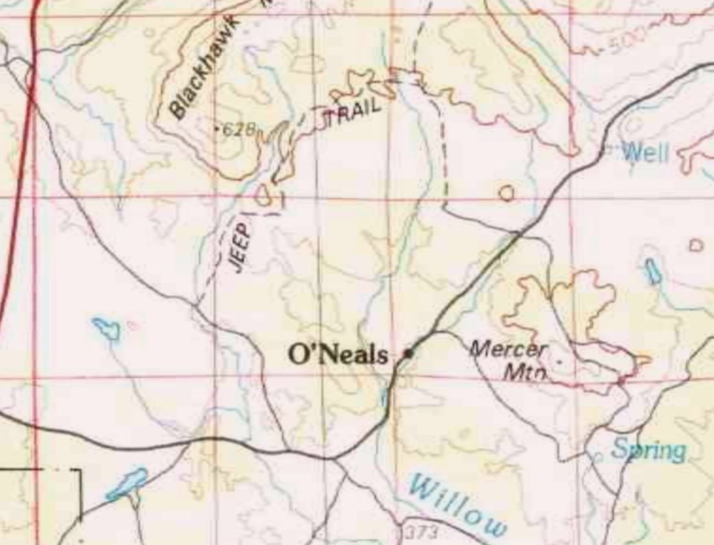
Road 200 can be seen passing through O'Neals for the last time on the 1980 United States Geological Survey Map of Shaver Lake.  Road 200 would appear realigned onto the current bypass whereas the original alignment was shown as Road 201 on the 1981 United States Geological Survey Map of O'Neals.  


Part 2; a drive on Madera County Road 201

Southbound Road 201 can be accessed from Road 200.  Signage indicating Road 201 passes through O'Neals is lacking from the modern bypass.


Road 201 southbound passes through the heart of O'Neals and loops back to Road 200.  The roadway is lined by numerous local businesses, the community Post Office as well as homes.  


Comments

Popular posts from this blog

Grand Loop Road of Yellowstone National Park

  Grand Loop Road is a 140 mile loop highway which traverses the interior of Yellowstone National Park.  Grand Loop Road connects all of the major attractions and geological features of Yellowstone National Park along with the entrance roads.  Grand Loop Road is a seasonal highway and despite some conjecture never has been part of the US Route System.   Part 1; the history of Grand Loop Road The majority of history pertaining to Grand Loop Road was taken from the below National Park Service article: Historic Roads - Yellowstone National Park (U.S. National Park Service) (nps.gov) Yellowstone was declared the first National Park of the United States on March 1st, 1872.  The first real highway to access Yellowstone National Park came in 1873 when a tolled facility was constructed from Bozeman, Montana via Yankee Jim Canyon to Mammoth Hot Springs.  Numerous attempts were made to fund construction of roadway infrastructure during the early years of Yellows...

The last 1956-63 era California Sign State Route Spade?

Along southbound California State Route 170 (the Hollywood Freeway Extension) approaching the Hollywood Freeway/Ventura Freeway interchange a white California State Route 134 Sign State Route Spade can be observed on guide sign.  These white spades were specifically used during the 1956-63 era and have become increasingly rare.  This blog is intended to serve as a brief history of the Sign State Route Spade.  We also ask you as the reader, is this last 1956-63 era Sign State Route Spade or do you know of others?  Part 1; the history of the California Sign State Route Spade Prior to the Sign State Route System, the US Route System and the Auto Trails were the only highways in California signed with reassurance markers.  The creation of the US Route System by the American Association of State Highway Officials during November 1926 brought a system of standardized reassurance shields to major highways in California.  Early efforts to create a Sign State Route ...

California State Route 70; the Feather River Highway

From 2017 through to early 2019 I drove the majority of the California State Route 70; the Feather River Highway from CA 89 southwest to CA 99. CA 70 is an approximately 178.5 mile state highway which starts at US 395 near the Nevada State Line and travels west through the Feather River Canyon to CA 99.  CA 70 is often referred to as the Feather River Highway" given it's close association with the river.  Historically CA 70 was previously signed as US 40A and CA 24.  The Legislative Routes prior to the 1964 California Highway Renumbering that made up the current route of CA 70 are as follows: -  Legislative Route Number 21 from US 395 westward to Oroville. -  LRN 87 from Oroville south to Marysville. -  LRN 232 from Marysville to the current junction with CA 99.  CA 70 was even dual signed with CA 99 into Sacramento on what was LRN 232 for a time. The change from US 40A/LRN 21/LRN 87/LRN 232 can be seen by comparing the 1963 State Highway Ma...