
Lockwood-San Lucas Road is a fifteen-mile rural highway located in Monterey County, California. As the name suggests, Lockwood-San Lucas Road connects the communities of Lockwood and San Lucas. The highway begins at Lockwood-Jolon Road in San Antonio Valley. From San Antonio Valley the highway crosses the Santa Lucia Mountains and enters Salinas Valley where it crosses the 1915 Salinas River Bridge near San Lucas. Lockwood-San Lucas Road originally connected with Main Street in San Lucas, but the crossing was removed in the 1970s.

Part 1; the history of Lockwood-San Lucas Road
Lockwood-San Lucas Roads connects the two namesake communities via the San Lucia Mountains and Salinas River. Lockwood lies in San Antonio Valley east of Mission San Antonio de Padua. Lockwood is named in honor of Belva Lockwood who ran for President on the Equal Rights Party ticket in 1884 and 1888. Post Office Service in Lockwood was established in 1888.
By 1886 the Southern Pacific Railroad was extended southward from Soledad through Rancho San Lucas. The Southern Pacific Railroad established a railroad siding which took the name of "San Lucas" in honor of the property donated by Alberto Trescony. By 1887 Post Office service was transferred from nearby Griswold and has remained operating ever since.
During 1915 a truss bridge over the Salinas River southwest of San Lucas was installed by Monterey County. The Salinas River Bridge functionally made direct automotive travel between Lockwood and San Lucas possible.
The entirety of modern Lockwood-San Lucas Road (displayed as Lockwood Grade) appears on the 1919 United States Geological Survey Maps of King City and Bryson. Lockwood-San Lucas Road is shown to cross the Santa Lucia Mountains via San Lucas Canyon and Espinosa Canyon.


Lockwood-San Lucas Road appears as a major local highway on the 1935 Division of Highways map of Monterey County.

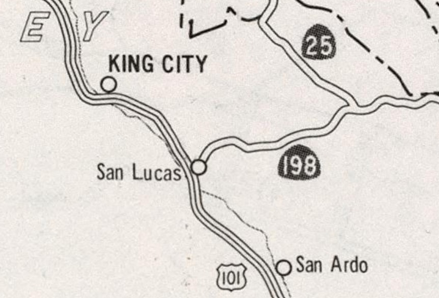
The US Route 101 and California State Route 198 bypasses of San Lucas opened during 1972. US Route 101 was shifted to a new freeway west of Cattlemen Road and California State Route 198 was extended directly to it via an interchange structure southwest of San Lucas. The then new terminus of California State Route 198 bisected part of Lockwood-San Lucas between the Salinas River Bridge and San Lucas.
Former California State Route 198 in San Lucas was also partially severed after the highway was realigned. Mary Street no longer directly connects traffic from California State Route 198 to Main Street. The Southern Pacific Railroad crossing from Main Street to Cattlemen Road/Lockwood-San Lucas Road was removed. The new alignments of US Route 101 and California State Route 198 appear on the 1975 Caltrans Map.
Part 2; a drive on Lockwood-San Lucas Road

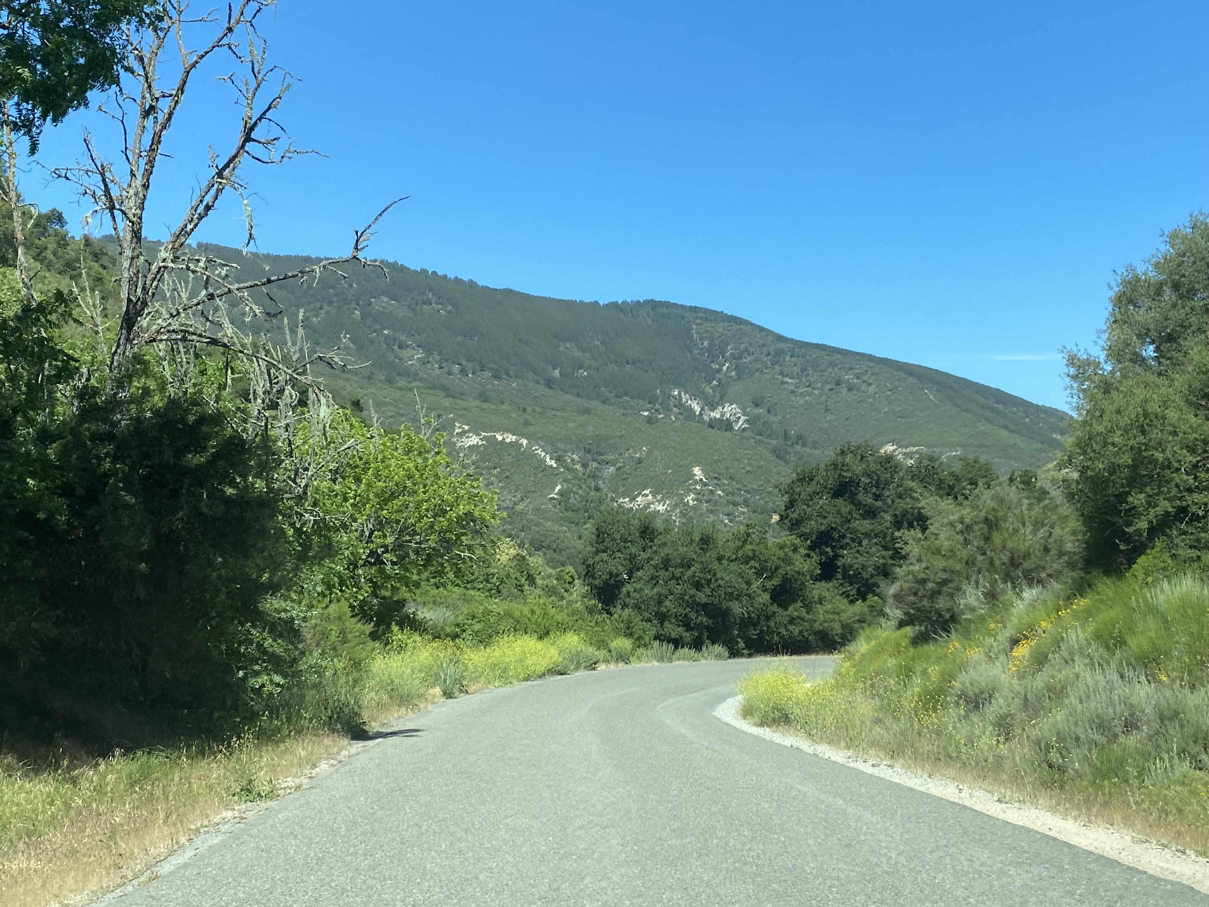
Lockwood-San Lucas Road climbs into the Santa Lucia Mountains via San Lucas Canyon as a single lane. The road crests at an elevation of 1,673 feet above sea level.


Lockwood-San Lucas Road descends through Espinosa Canyon and enters Salinas Valley.


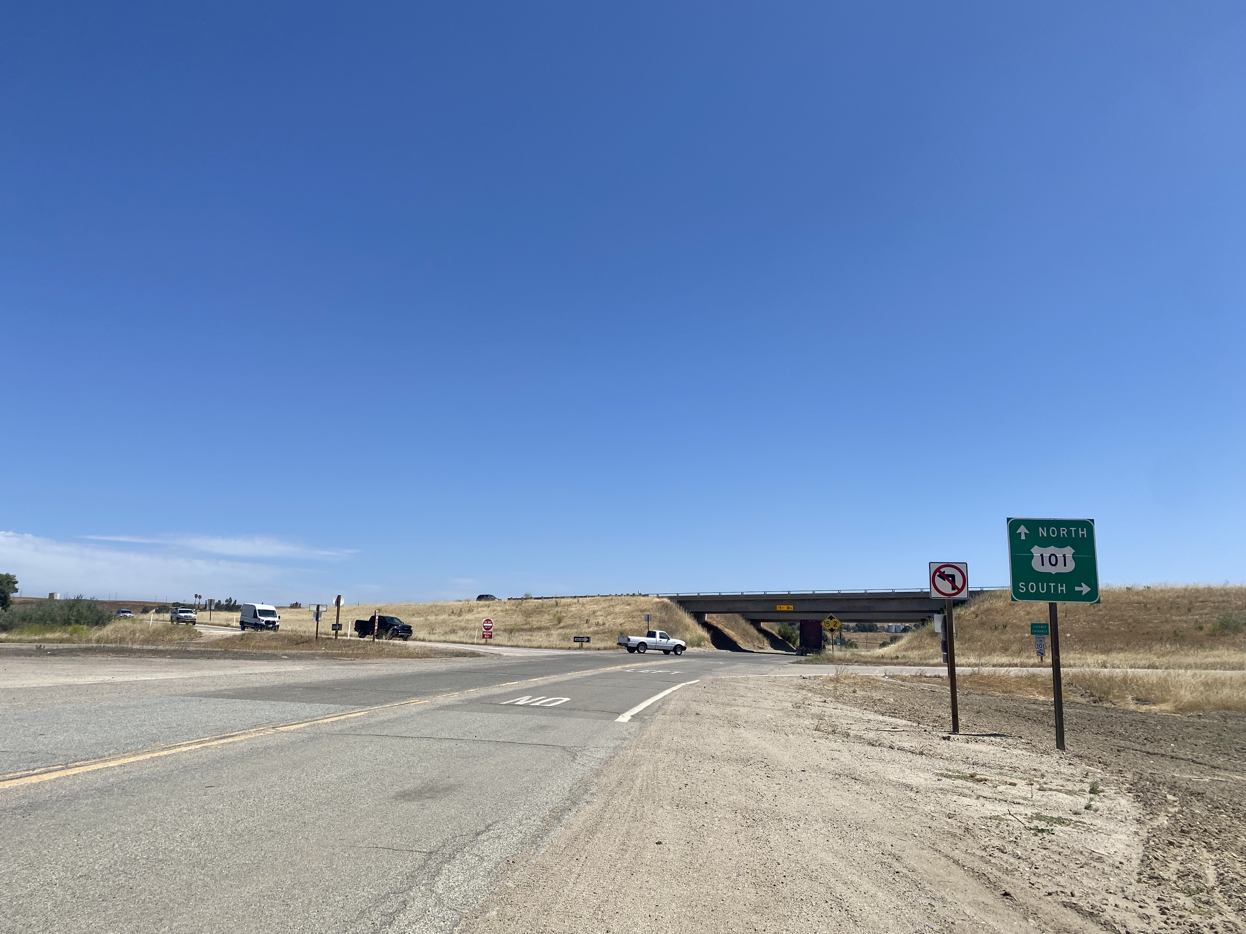
Lockwood-San Lucas Road widens to two-lanes approaching an interchange with US Route 101.


Lockwood-San Lucas Road makes a left-hand turn at Paris Valley Road.

Lockwood-San Lucas Road makes a right-hand turn at Oasis Road towards the Salinas River.


Lockwood-San Lucas Road crosses the 1915 Salinas River Bridge.


Below the now missing dedication placard which once was affixed to the Salinas River Bridge (courtesy southern Monterey County historian John Jernigan).

Lockwood-San Lucas Road approaches another interchange with US Route 101 and the eastbound start of California State Route 198.


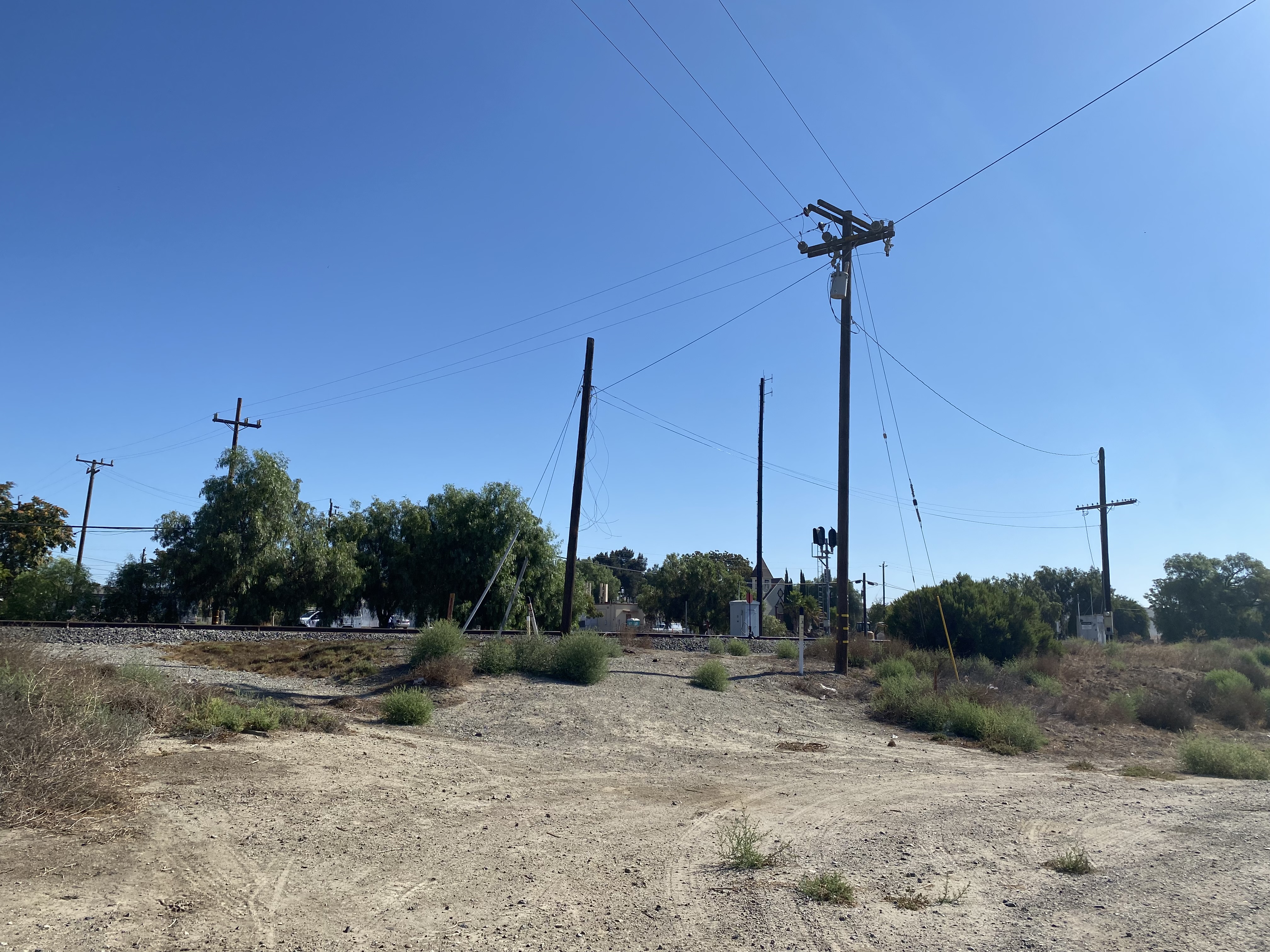
As noted in Part 1, a disconnected segment of Lockwood-San Lucas Road exists east of the US Route 101 freeway. From the intersection of Cattlemen Road (former US Route 101) and Lockwood-San Lucas Road the razed former grade of California State Route 198 to Main Street in San Lucas can be observed.

Comments